Log in
All resources
Create a design
1,027 Free Images of Island Of California
islands
oregon
northern california
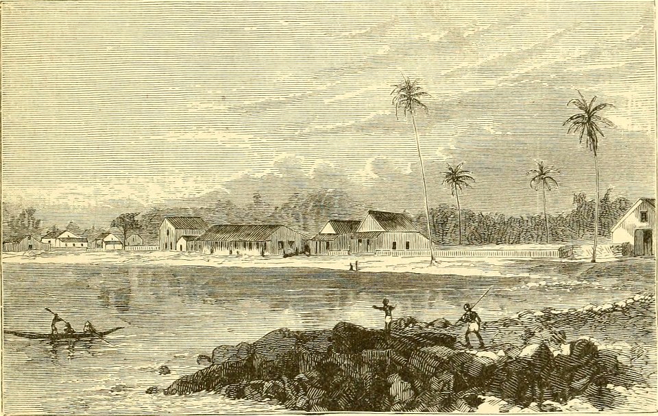
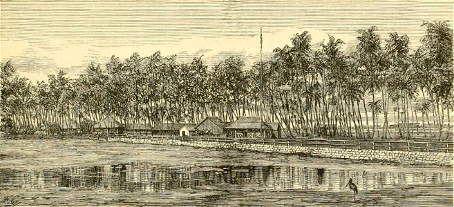
and the sandwich islands (1874)
hawaii in drawings
ocean
hawaii in the 1870s
sea
hawaii
landscape
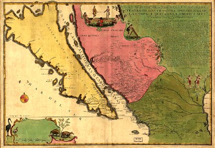
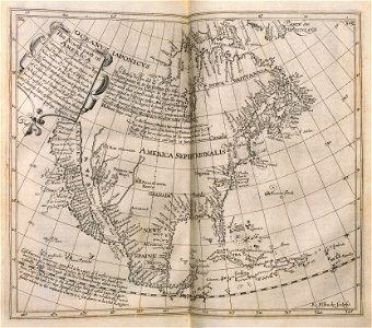
island of california
image restoration
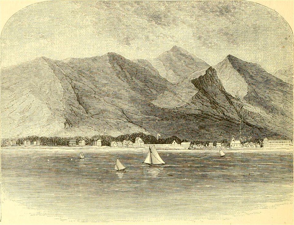
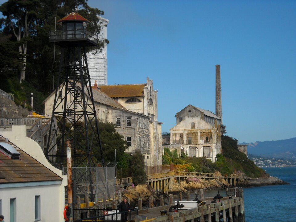
1851 in san francisco
port of san francisco
islands
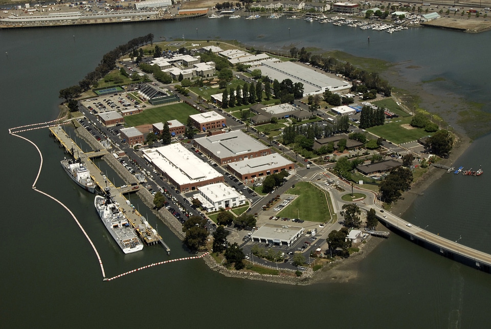
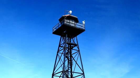
guard
wildlife
animals
boat
sea
landscape
water
landscape
water
vehicle
water
islands
water
landscape
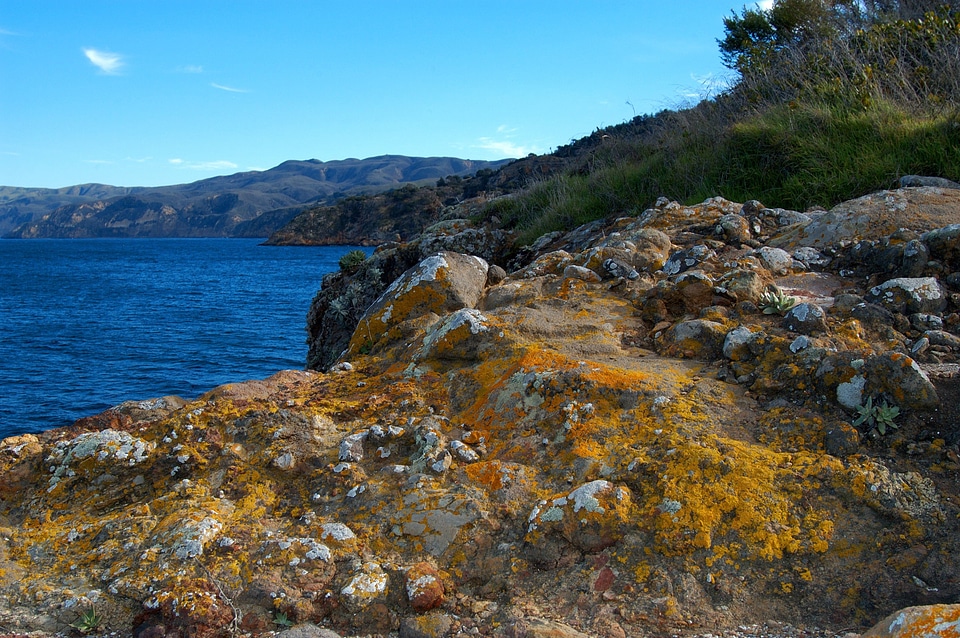
national
landscape
sea
landscape
ocean
vegetables
landscape
whig party (united states)
daguerreotype portraits
landscape
water
landscape
travel
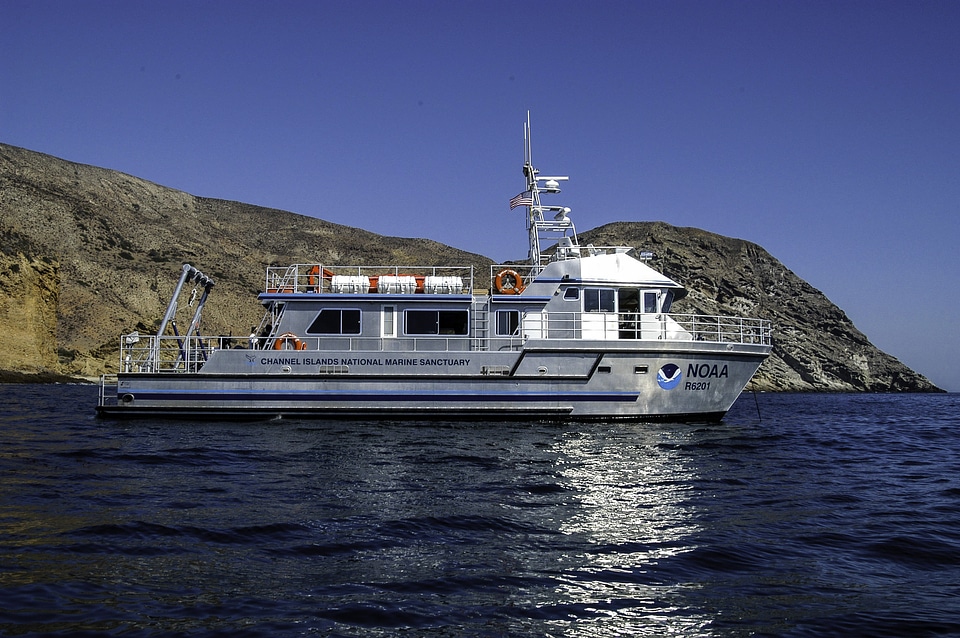
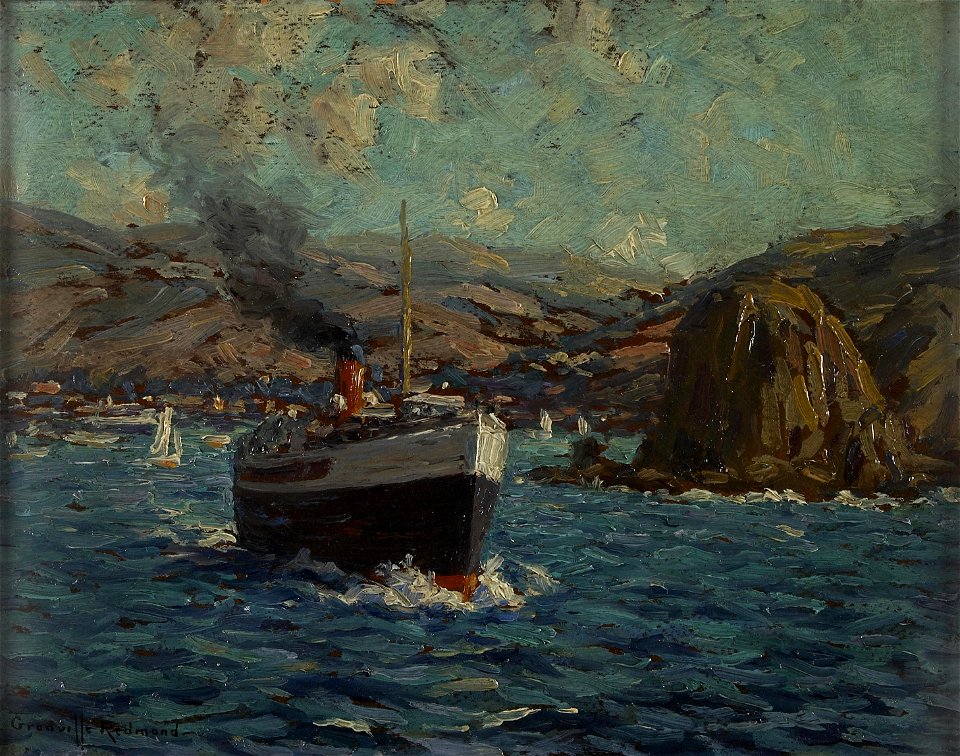
boat
ship
landscape
sea
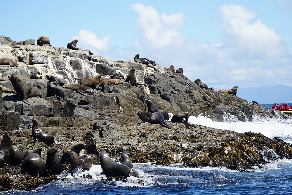
wildlife
animals
water
sea
landscape
water
california
plants
summer
surf
background
skyline
maps of del norte county, california
1866 maps of california
daguerreotypes by mathew brady
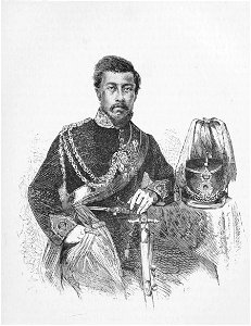
james buchanan in art
mathew brady photograph of franklin pierce
adam cuerden's restorations
politicians with the national flag of the united states in background
official portraits of john edwards
ocean
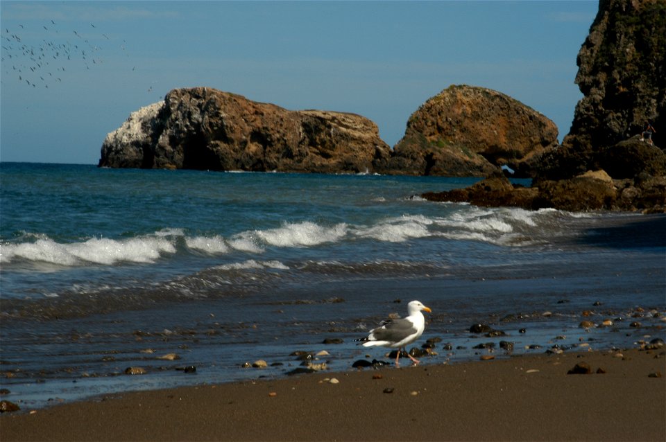
bird
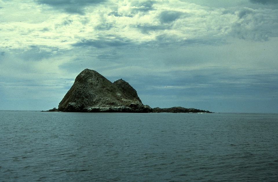
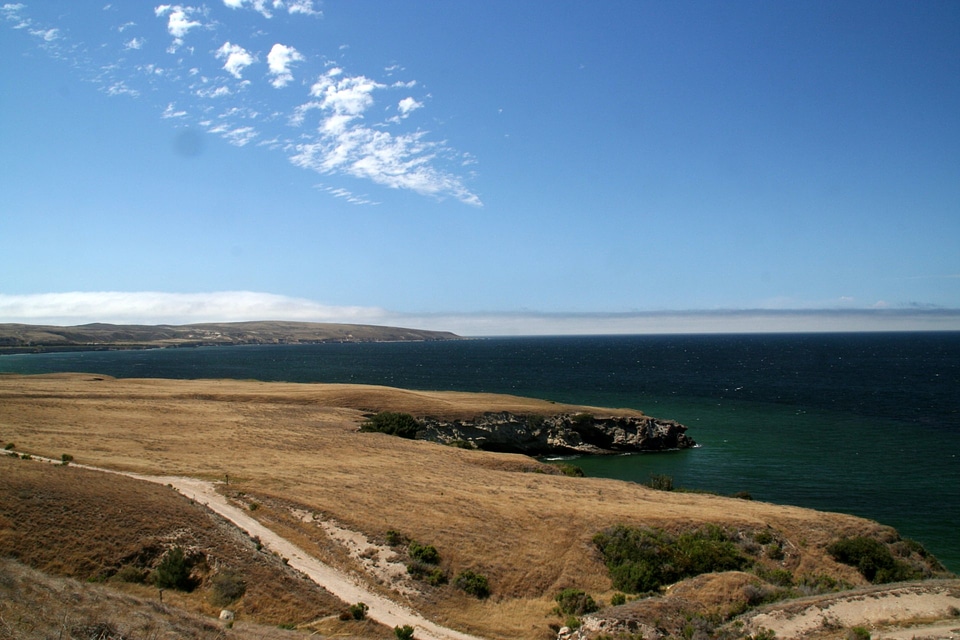
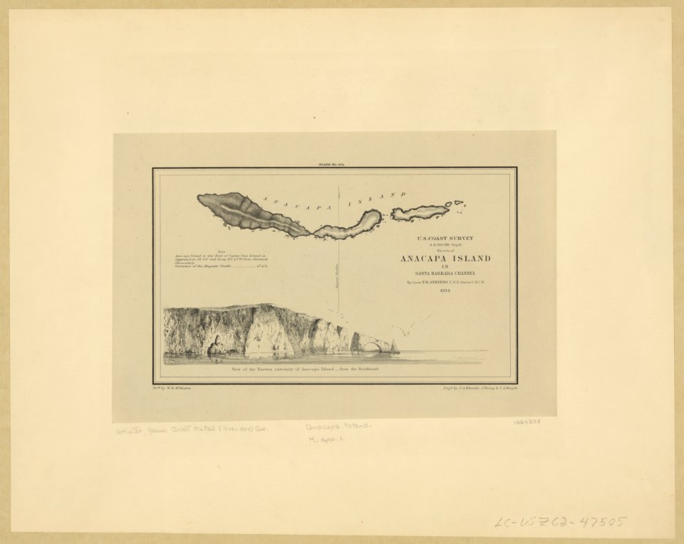
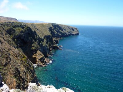
anacapa island
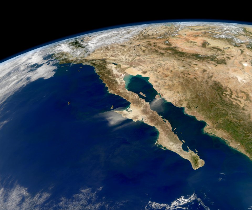
california
ocean
sea
united states
california
northern california
oregon
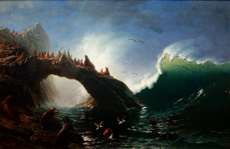
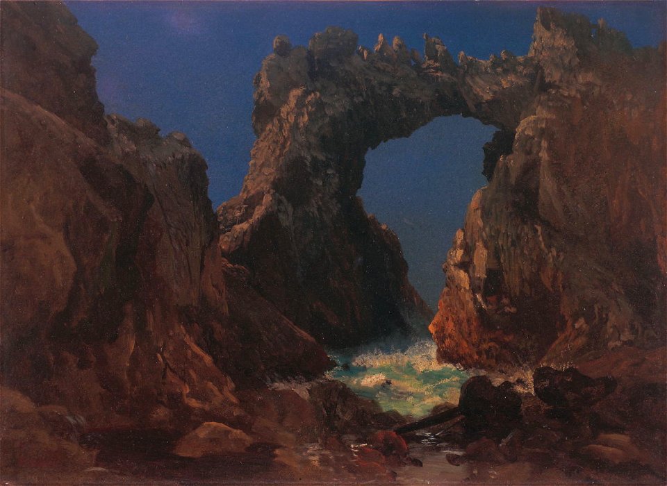
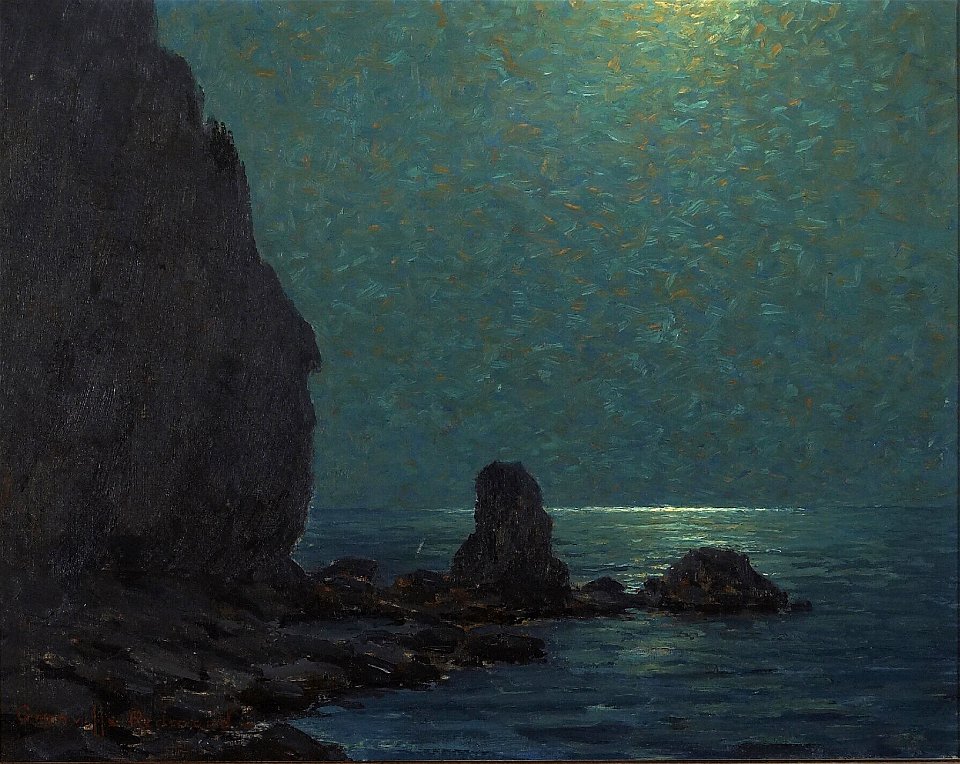
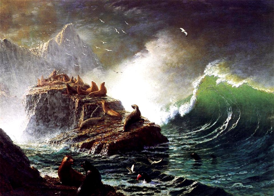
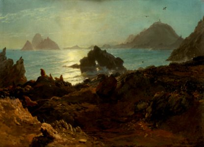
paintings of california by albert bierstadt
water waves in art
paintings of california by albert bierstadt
1870s paintings
astronomy
islands
paintings of california by albert bierstadt
1870s paintings
paintings of california by albert bierstadt
water waves in art
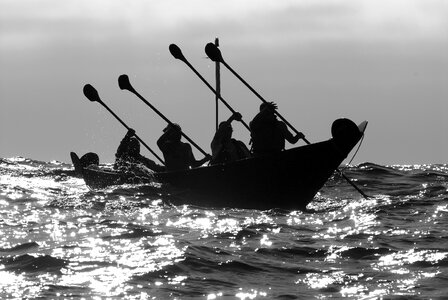
native americans of california
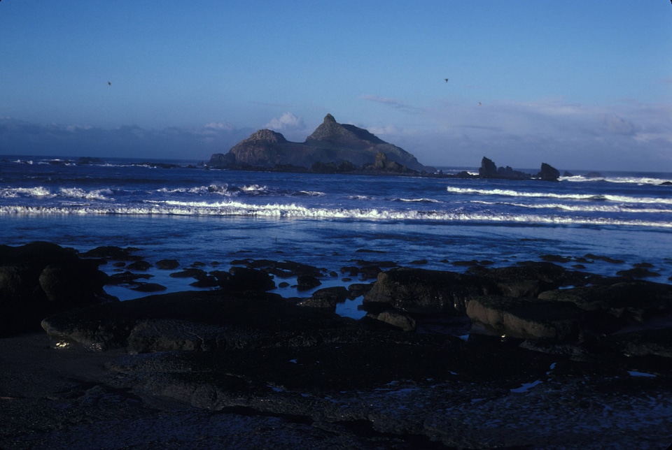
san clement island
paintings of california
california
islands
sea
plants
macro
northern california
oregon
water
boat
maps by nicolas sanson
northern michigan
islands of california
nicolas de fer
northern california
oregon
landscape
travel
northern california
oregon
northern california
oregon
northern california
oregon
northern california
oregon
northern california
oregon
hawaii
oregon
animals
nature
paintings by jules tavernier
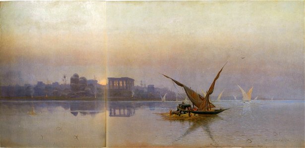
philae in art
northern california
oregon
islands of california
berger collection
landscape
travel
united states
california
northern california
oregon
northern california
oregon
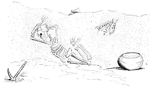
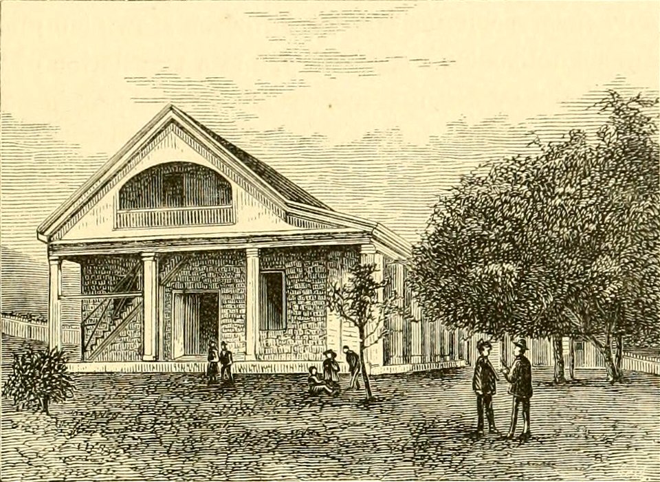
popular science monthly illustrations/volume 48
native americans of california
hawaii
oregon
paintings of california by albert bierstadt
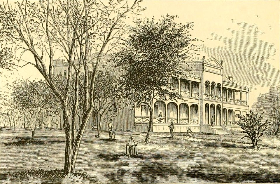
boston
architecture
islands
hawaii
oregon
hawaii
oregon
paintings of california by albert bierstadt
1872 paintings in the united states
water
boat
northern california
oregon
tree
usa
landscape
travel
northern california
oregon
northern california
oregon
landscape paintings in the nelson-atkins museum of art
american paintings in the nelson-atkins museum of art
hawaii
oregon
hawaii
oregon
california
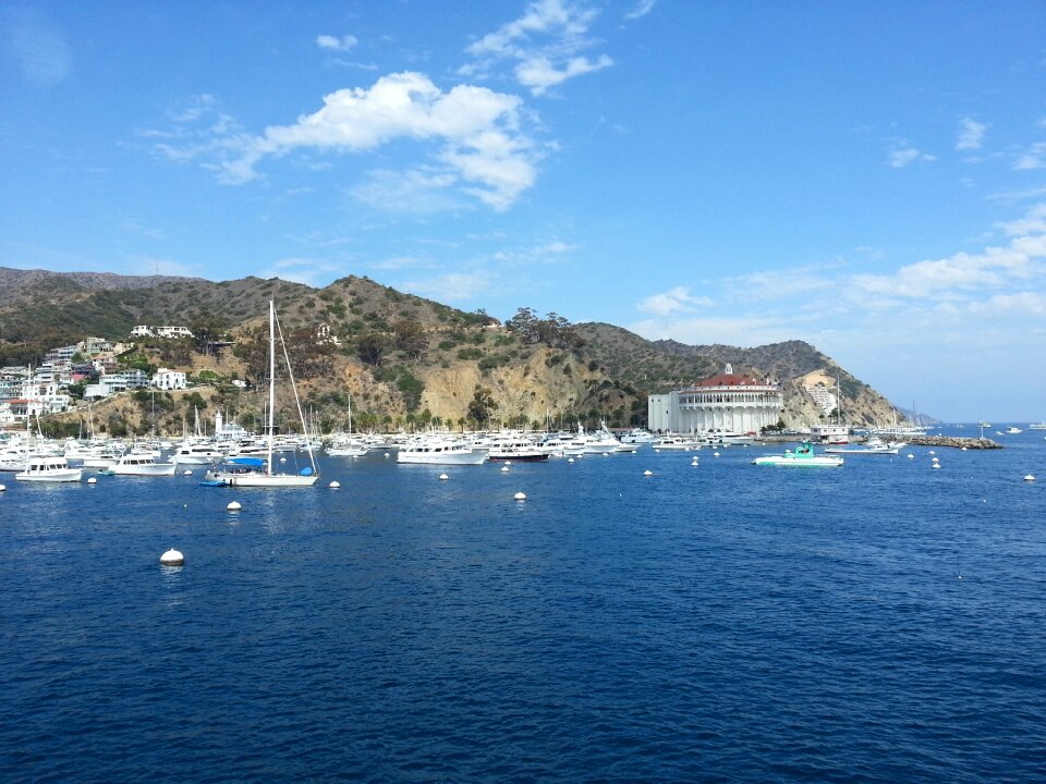
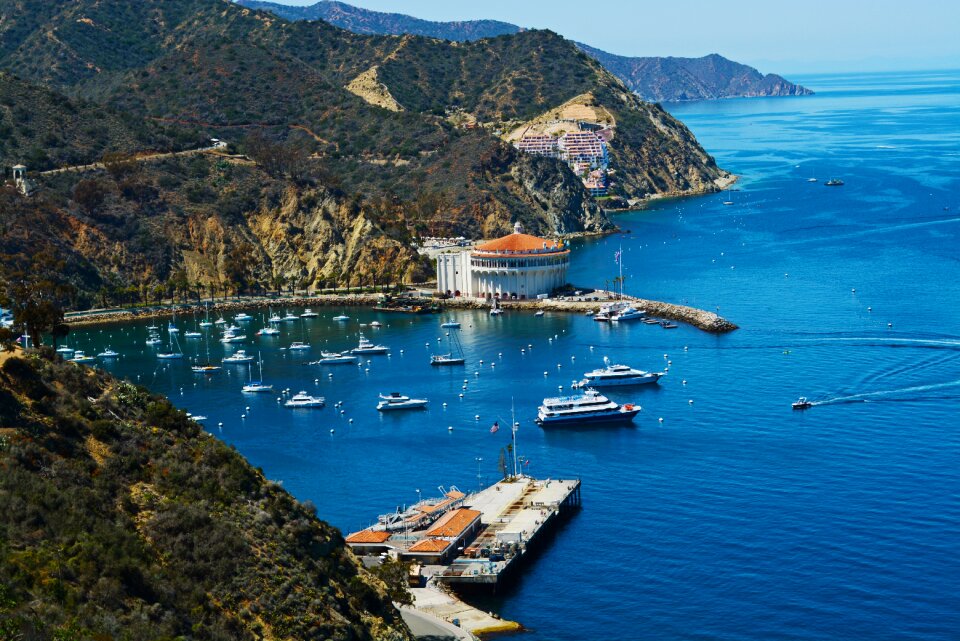
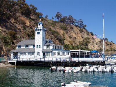
avalon
fagaceae
plants
interior
islands
hawaii
oregon
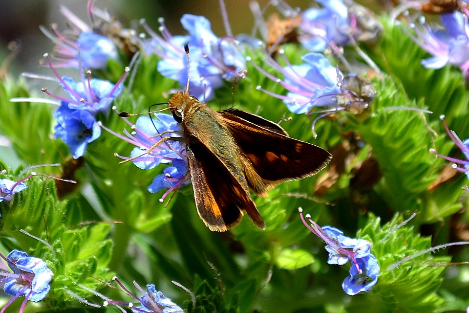
insects
nature
hawaii
oregon
hawaii
oregon
bokeh photos of insects
self-published work
plants
leaf
hawaii
oregon
hawaii
oregon
hawaii
oregon
animals
bird
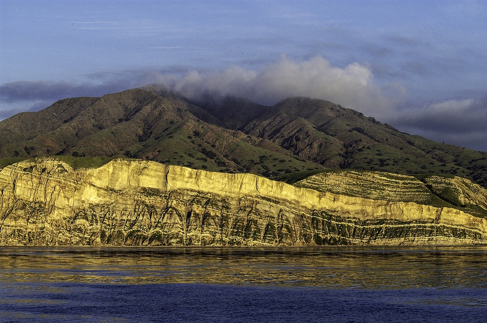
native americans of california
san clement island
landscape
sea
plants
green
islands
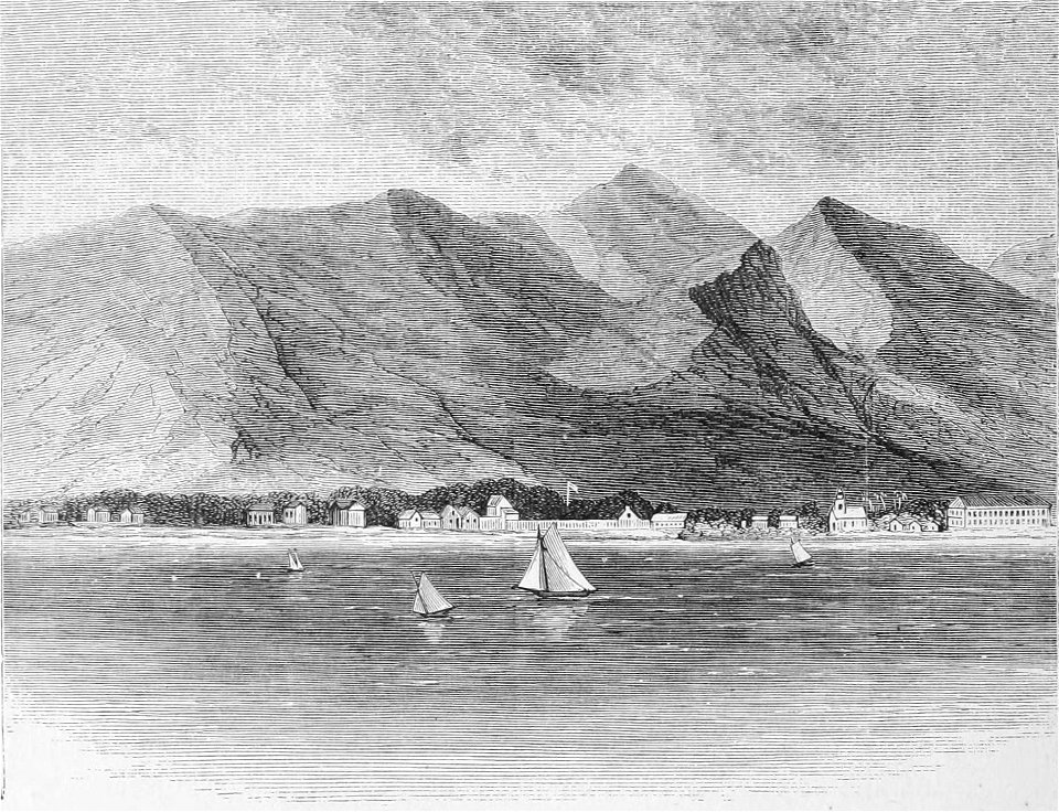
village
islands
usa
animals
travel
self-published work
pages with maps
wildlife
plants
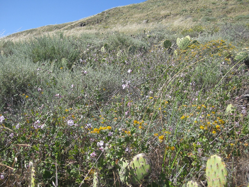
flower
purple
1 - 100 of 1,027
Next page
/ 11