Log in
All resources
Create a design
385 Free Images of 1700 Maps
cc-zero
pages with maps
maps in skokloster castle
18th century
vintage maps
1700s public domain
1700s
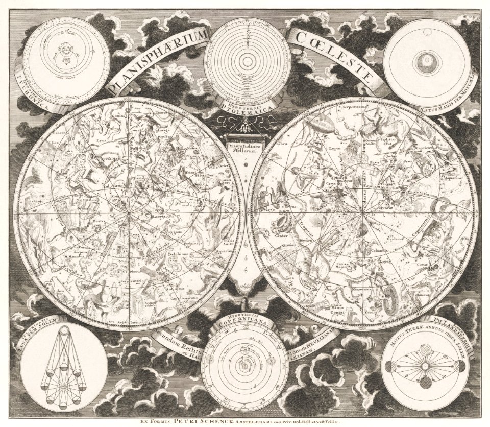
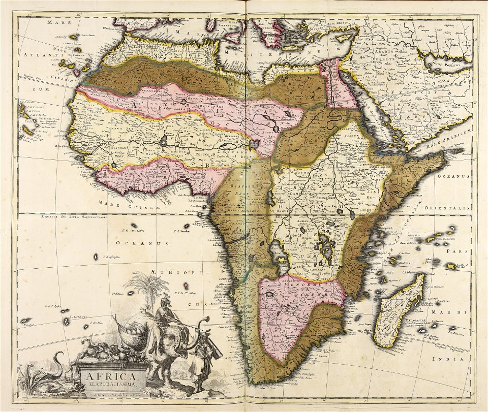
maps by pieter schenk (i)
old map
maps antique
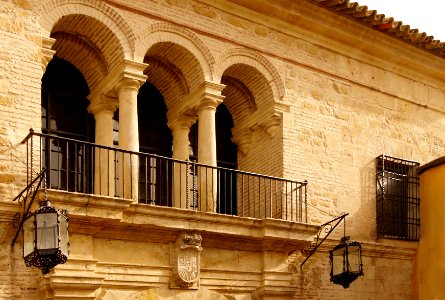
self-published work
architecture
self-published work
pages with maps
architecture
stable
reliefs of coats of arms in the province of granada
gold
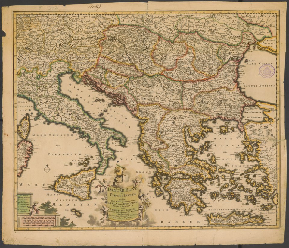
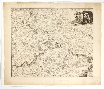
maps by frederick de wit
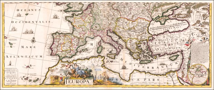
old maps of the balkans
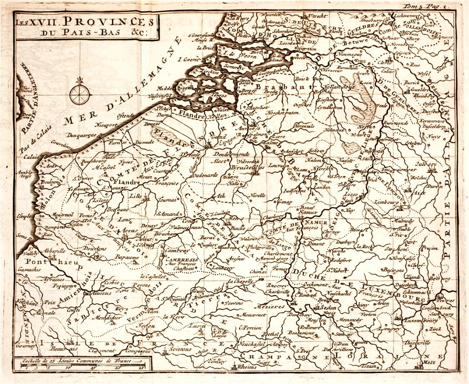
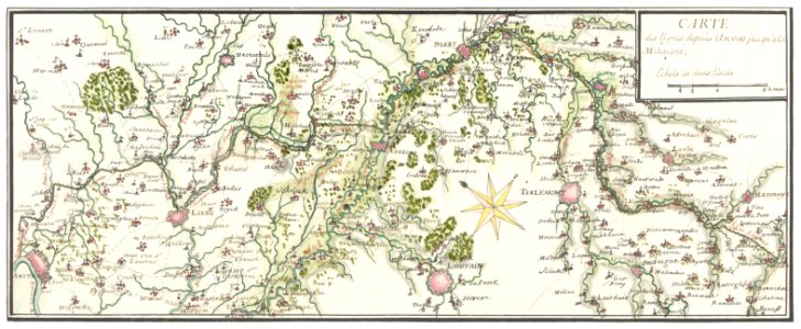
1700s maps of belgium
old maps of lorraine
antique
maps
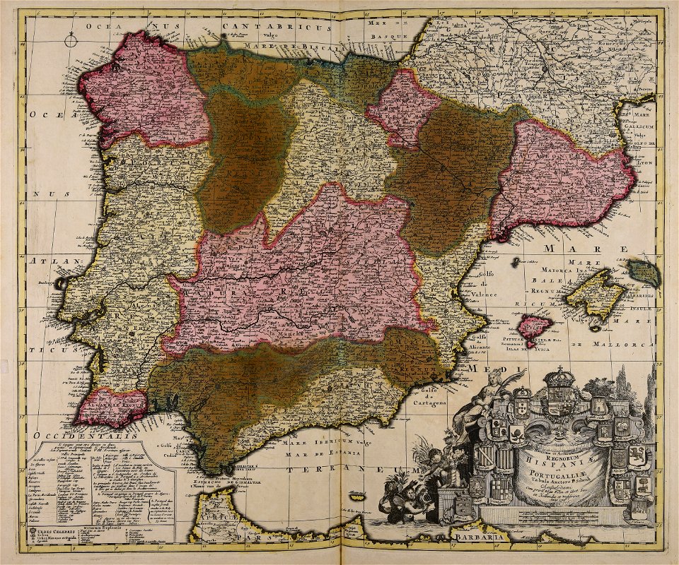
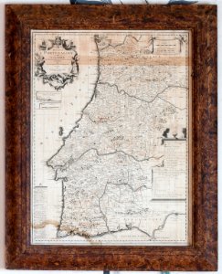
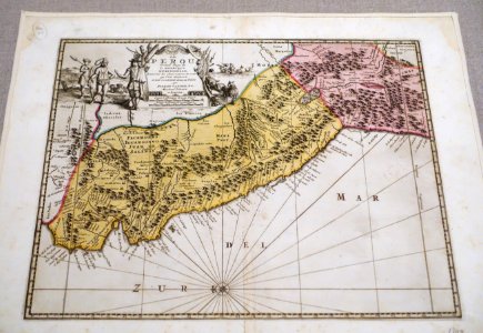
old maps of the iberian peninsula
1700s maps of portugal
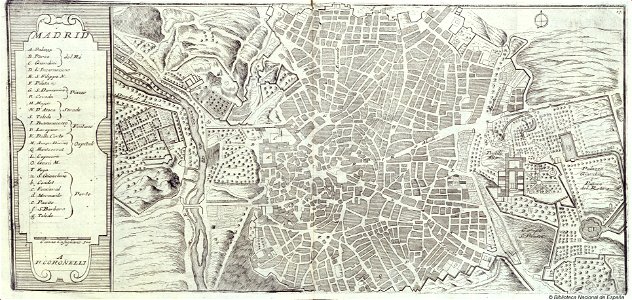
maps by coronelli
1700 maps
cartography
maps
1700s maps of baden-württemberg
bishopric of constance
australia
maps
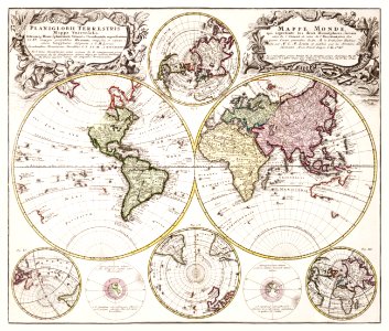
world
maps
geography
maps
maps in skokloster castle
fredrik andersson
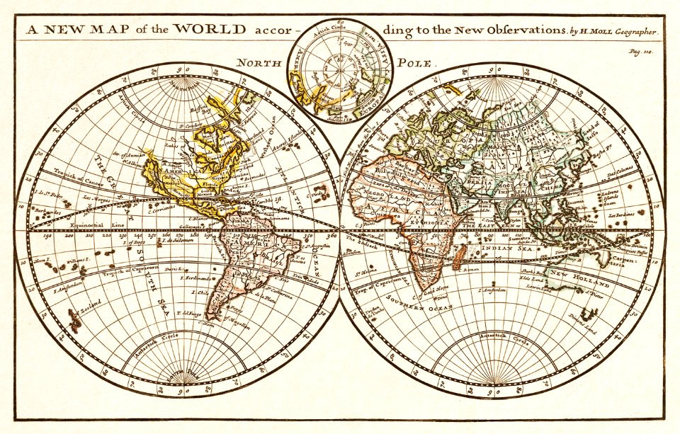
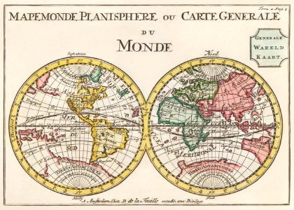
world map
maps
world
maps
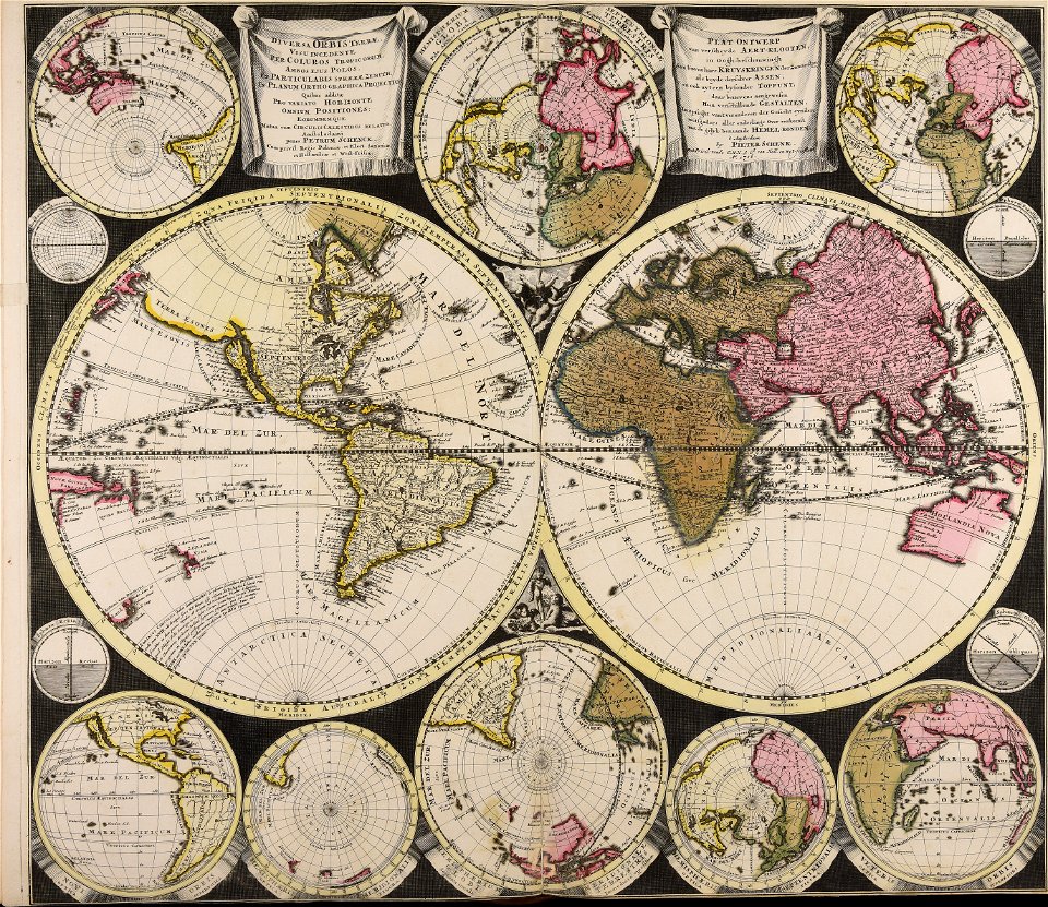
description de l'universe
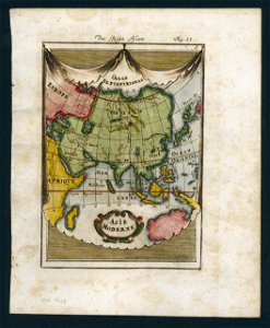
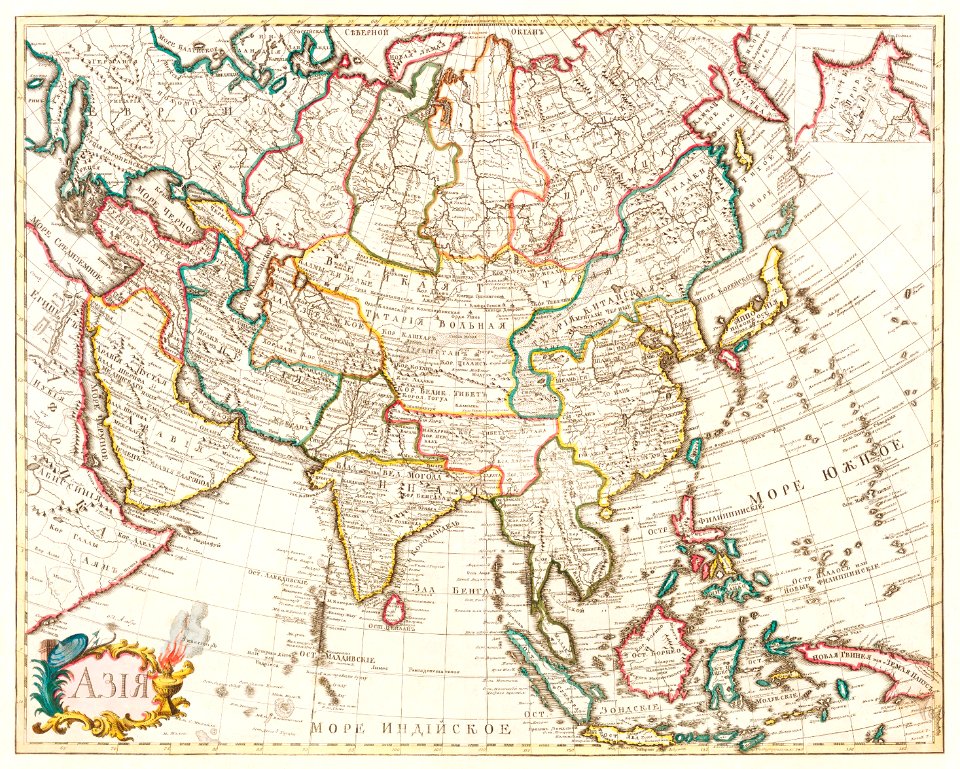
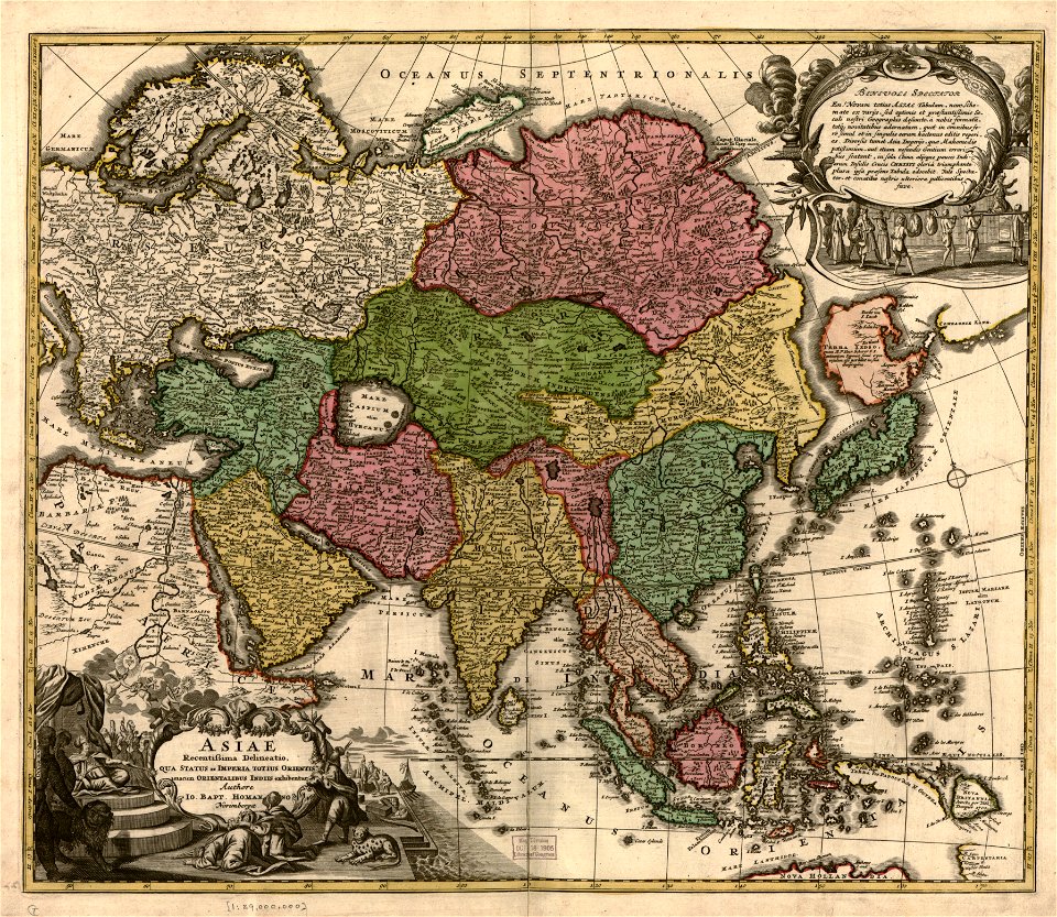
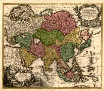
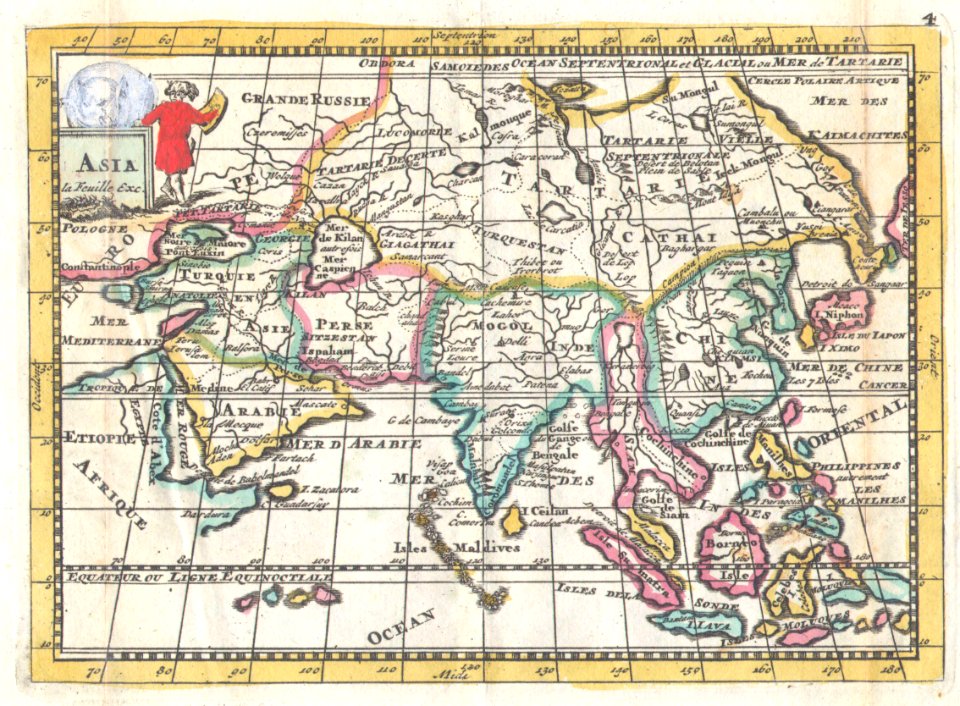
old maps of asia
world
maps
italian-language maps
maps with cartouches
1700s maps of baden-württemberg
bishopric of constance
maps in skokloster castle
maps by frederick de wit
17th-century maps of india
description de l'universe
description de l'universe
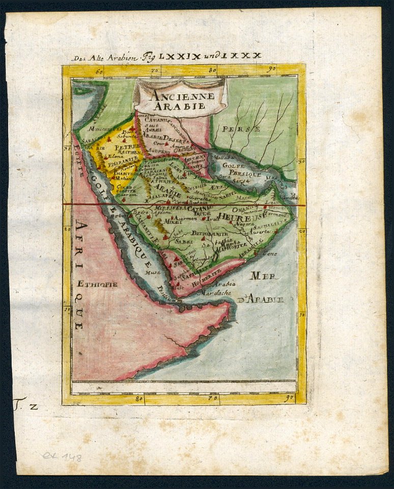
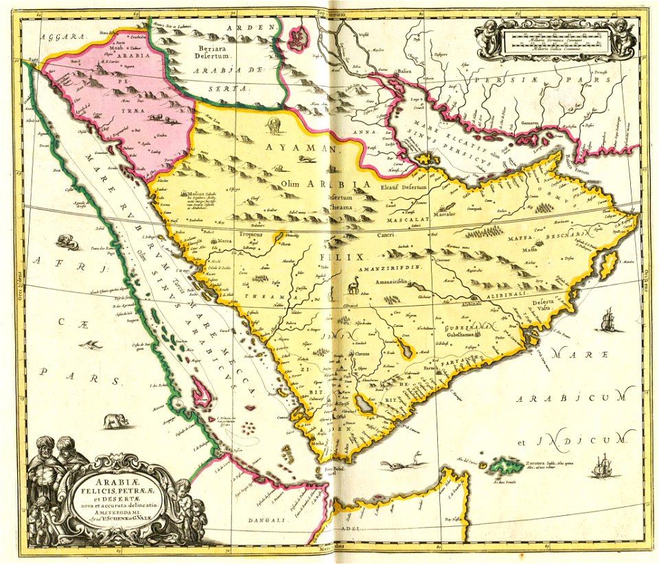
old maps of saudi arabia
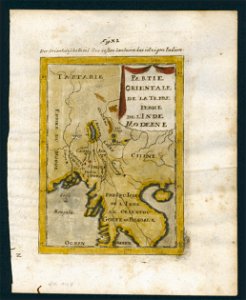
old maps of southeast asia
description de l'universe
globe
maps
17th-century maps of finland
description de l'universe
cartography
maps
cornell university library
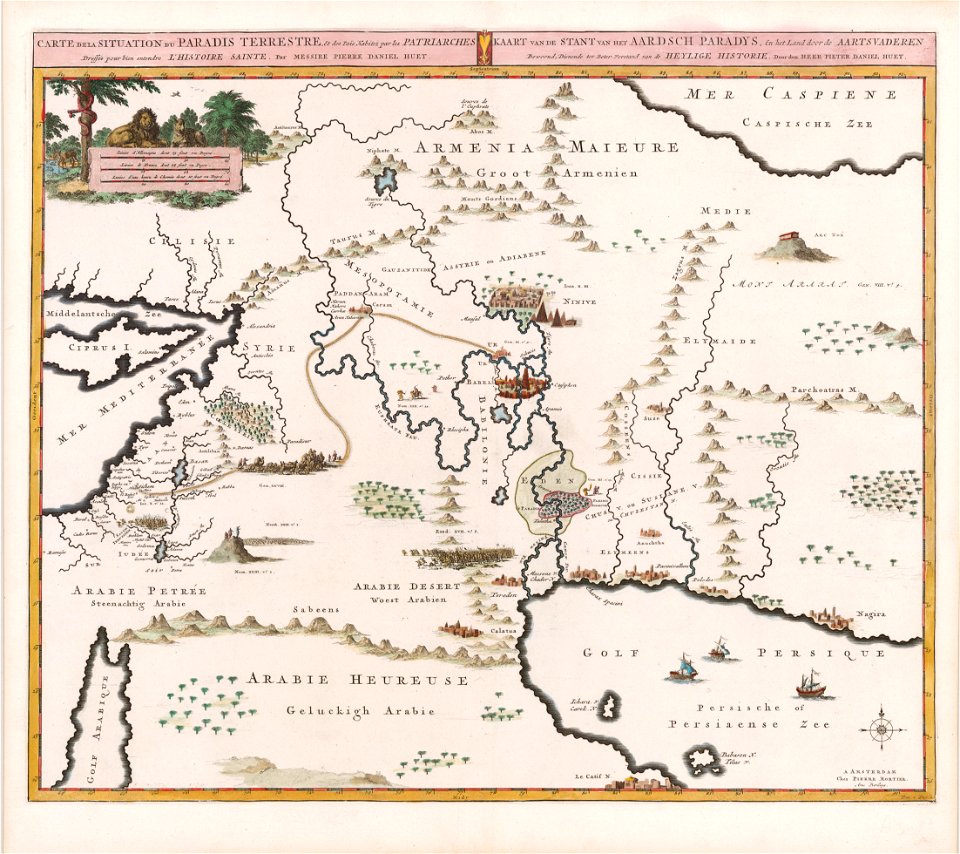
garden of eden
maps made in the 18th century
maps by frederick de wit
georg christoph eimmart
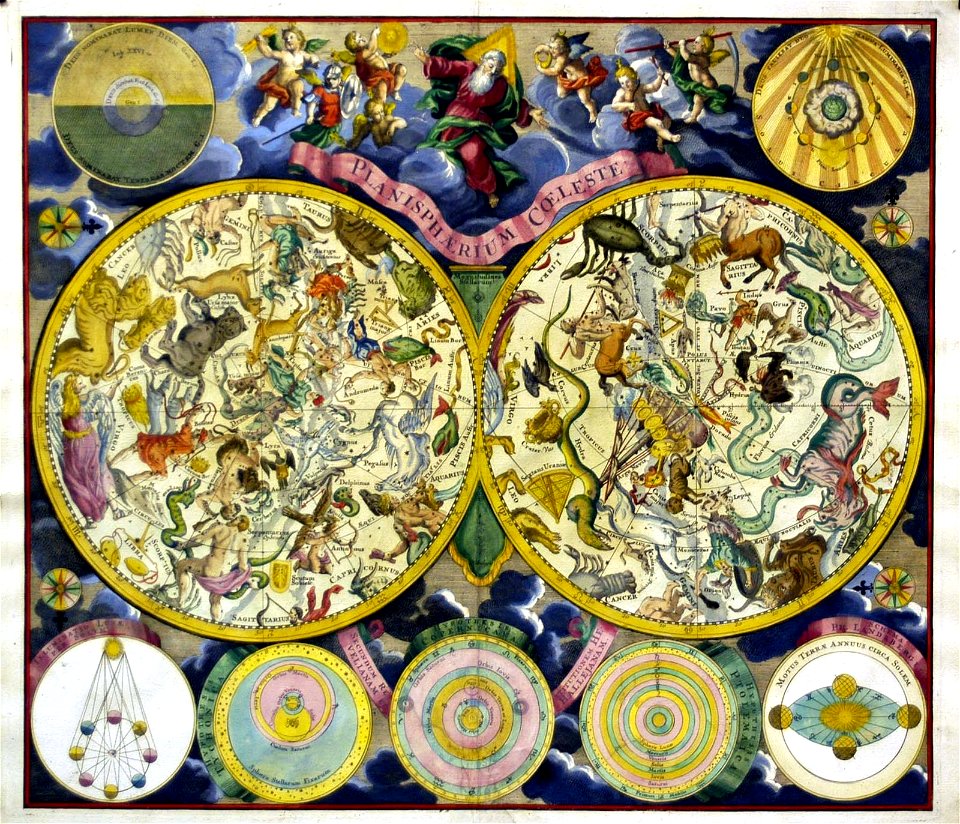
old celestial maps
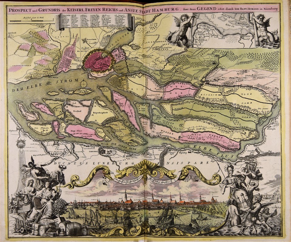
johann baptist homann
ships on maps
maps
art
old maps of toulon
toulon naval base
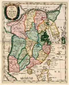
china in the 1700s
old maps of taiwan
latin-language maps
carolus allard
maps in the library of congress
old maps of asia
maps in the library of congress
old maps of asia
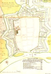
stadtbefestigung rinteln
maps of rinteln
copper engraving
gerard valck
maps made in the 17th century
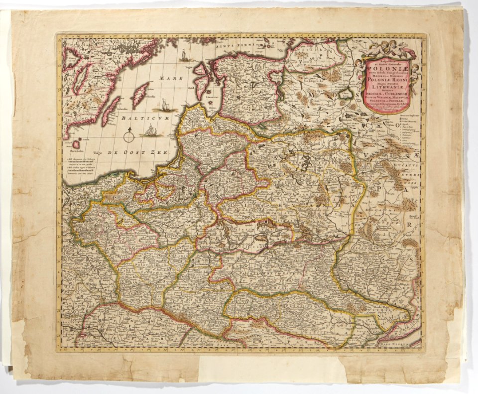
1700 maps of lithuania
atlantis magni tomus quintus (biblioteca comunale di trento)
maps made in the 18th century
atlantis magni tomus quintus (biblioteca comunale di trento)
maps by pieter schenk (i)
maps made in the 17th century
maps by pieter schenk (i)
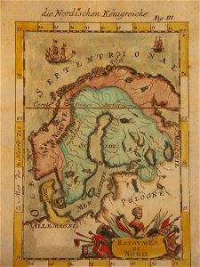
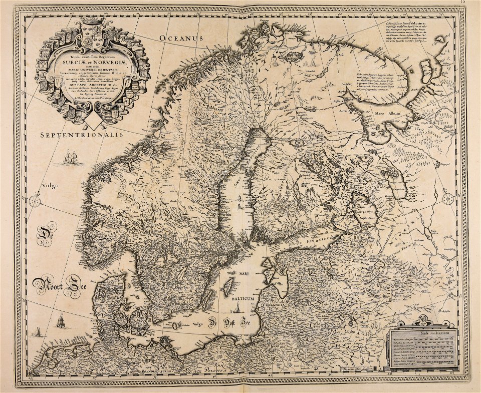
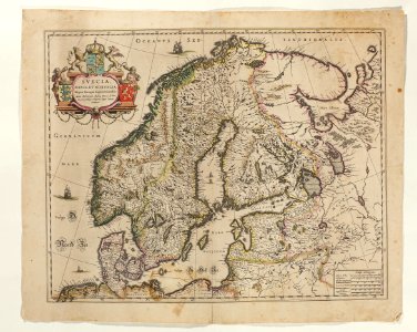
old maps of scandinavia
johannes ratelband
old maps of indonesia
old maps of tibet
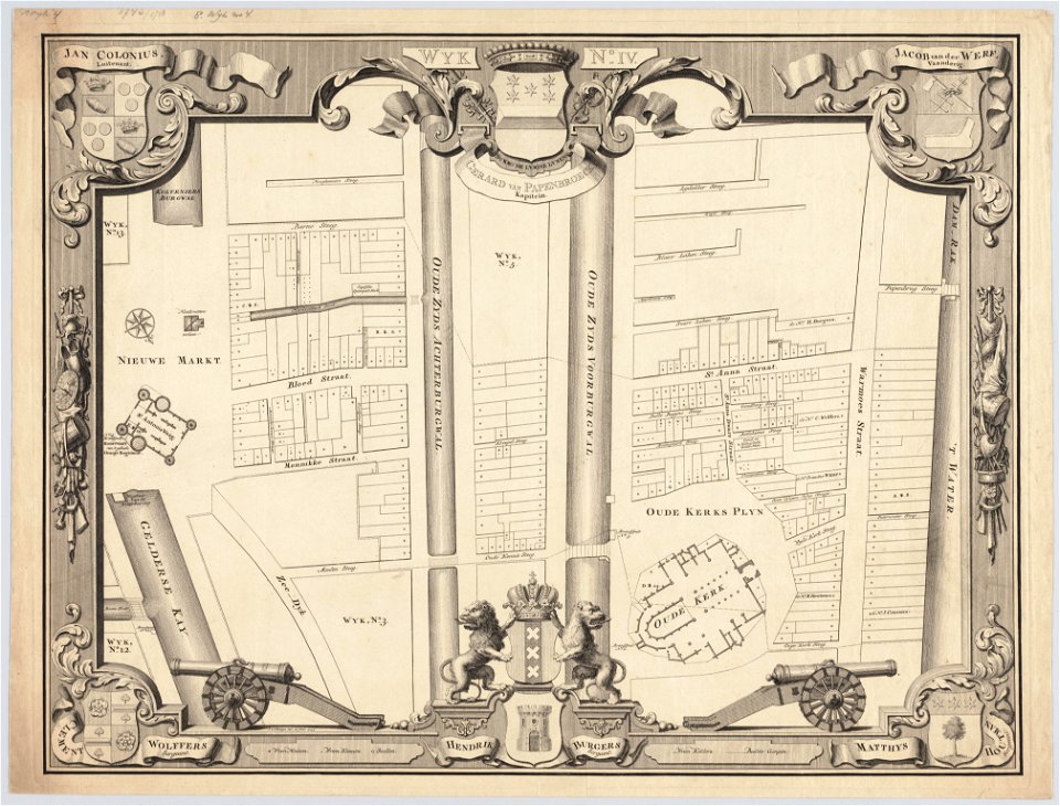
maps in the stadsarchief amsterdam
jan caspar philips
maps in the stadsarchief amsterdam
jan caspar philips
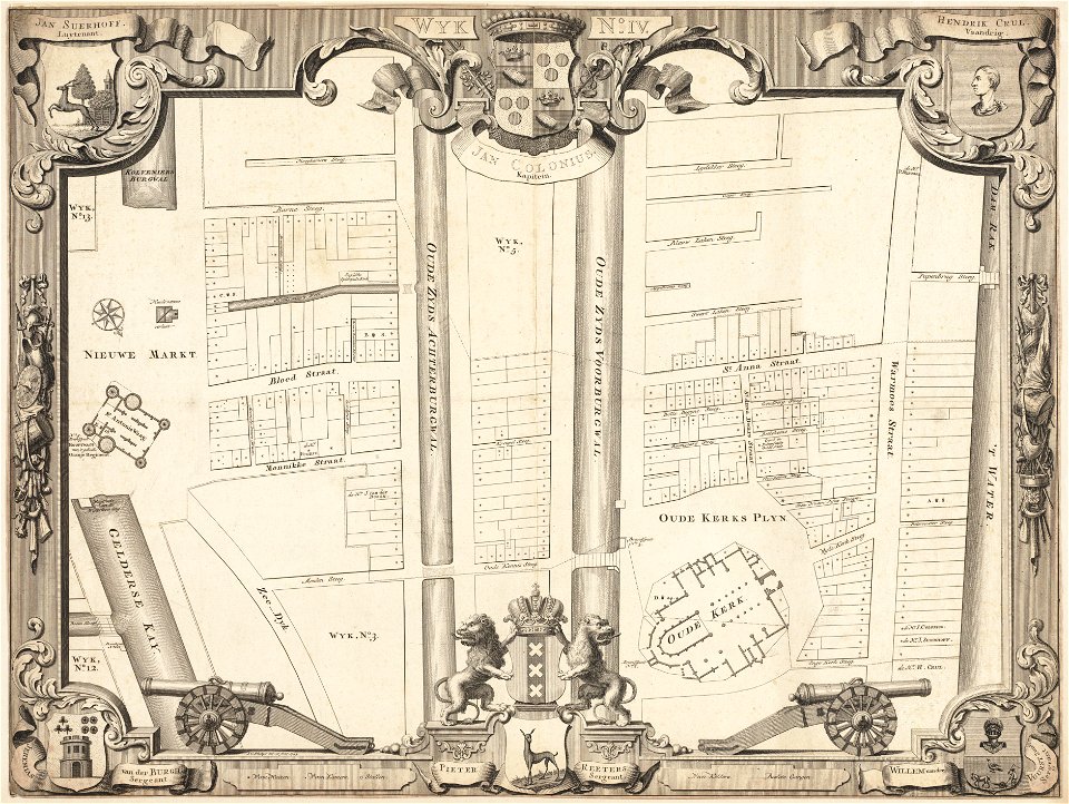
maps in the stadsarchief amsterdam
jan caspar philips
maps in the stadsarchief amsterdam
jan caspar philips
maps in the stadsarchief amsterdam
jan caspar philips
atlantis magni tomus primus (biblioteca comunale di trento)
maps by pieter schenk (i)
maps made in the 18th century
maps in skokloster castle
maps in skokloster castle
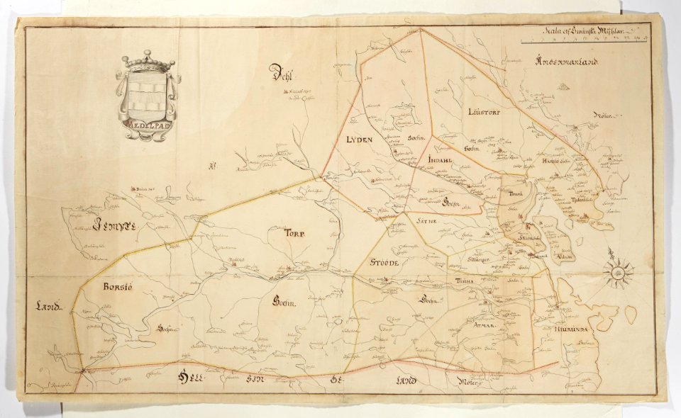
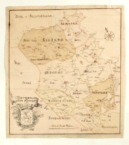
maps of medelpad
18th-century maps of sweden
maps in skokloster castle
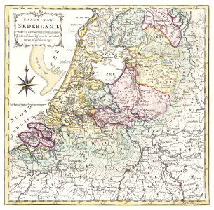
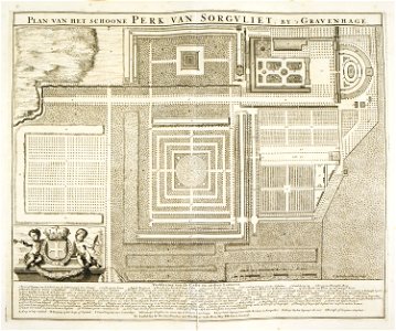
zorgvliet
den haag
old celestial maps
gerard valck
nicolaes visscher ii
abraham goos
self-published work
pages with maps
maps made in the 18th century
maps in skokloster castle
maps made in the 18th century
old maps of scandinavia
dendermonde
lillo
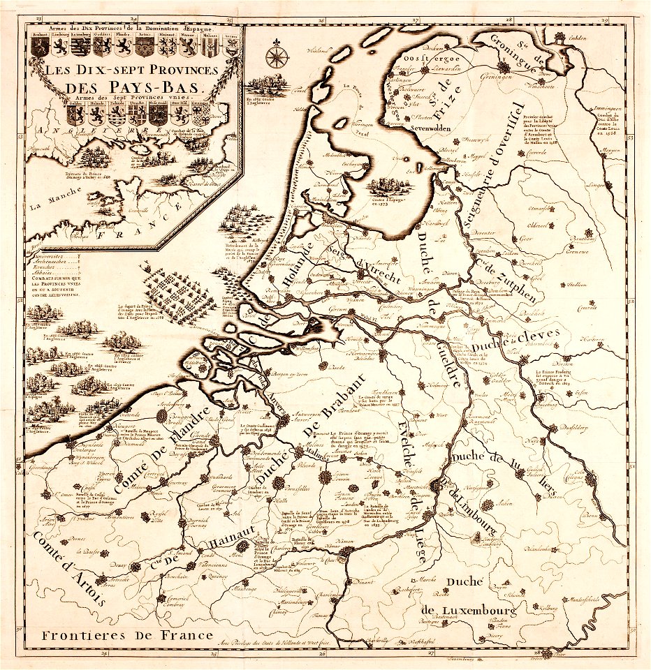
prints from the peace palace library
military history of the netherlands
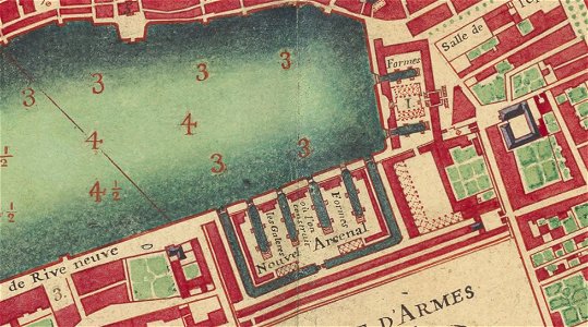
old maps of marseille
french navy bases
maps made in the 18th century
johann baptist homann
old maps of marseille
french navy bases
maps made in the 18th century
maps by nicolas sanson
18th-century maps of denmark
maps in skokloster castle
18th-century maps of sweden
maps in skokloster castle
maps in skokloster castle
sønderjylland
self-published work
architecture
self-published work
card
self-published work
pages with maps
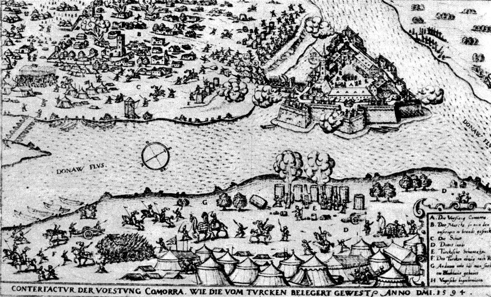
history of hungary (1526–1700)
historical images of komárno
interior
indoor
architecture
interior
interior
inside
architecture
epp
architecture
interior
self-published work
cc-pd-mark
self-published work
cc-pd-mark
self-published work
cc-pd-mark
self-published work
cc-pd-mark
shadows of sculptures
self-published work
artist missing
london
pages with maps
facade
self-published work
pages with maps
self-published work
pages with maps
self-published work
pages with maps
skyline
city
self-published work
pages with maps
self-published work
cc-pd-mark
vehicle
car
maps with figures
michael burghers
18th-century maps of the strait of magellan
1700s maps of argentina
engravings of buildings
maps by pieter mortier
city map of regensburg (1700)
obermünster (regensburg)
maps of brest, france by antoine aveline
17th-century maps of brest
maps of paris from bibliothèque nationale de france
maps of paris by alexis-hubert jaillot
18th-century maps of north america
1708 maps of north america
1 - 100 of 385
Next page
/ 4


![Map of Paraguay, Chile, and Strait of Magellan - Guillaume de L'Isle, [1703-1708]](https://cdn.creazilla.com/illustrations/10001534848/map-of-paraguay-chile-and-strait-of-magellan-guillaume-de-lisle-1703-1708-md.jpg)


