Log in
All resources
Create a design
24 Free Artworks of Old Maps Of Lorraine
atlas van der hagen
atlas van der hagen (volume 1)
baroque
géographie illustrée de la france et de ses colonies
palatinatus rheni (merian)
gerard valck
atlantis magni tomus tertius (biblioteca comunale di trento)
maps with cartouches
maps by pieter schenk (i)
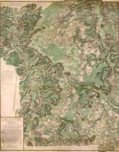
old maps of meurthe (department)
dillingen
saarland
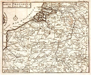
1700s maps of belgium
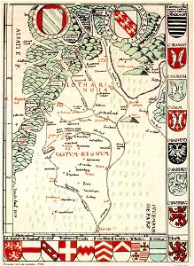
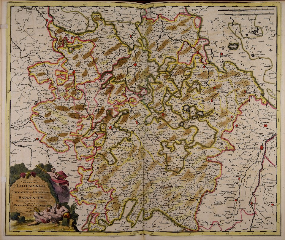
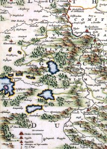
old maps of lorraine
maps made in the 17th century
gerard valck
maps with cartouches
old maps of toul
maps made in the 18th century
gerard valck
maps with cartouches
atlas van der hagen
maps with cartouches
atlas van der hagen
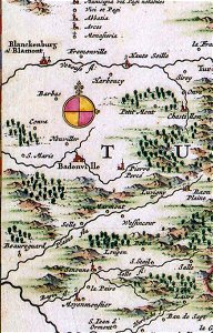
badonviller
blâmont
réchicourt-le-château
assenoncourt
collections of the bibliothèques-médiathèques de metz
old maps of lorraine
palatinatus rheni (merian)
baroque
victor levasseur - maps of france
old maps of meurthe (department)
palatinatus rheni (merian)
baroque
palatinatus rheni (merian)
baroque
engravings of topographia palatinatus rheni
baroque
palatinatus rheni (merian)
baroque
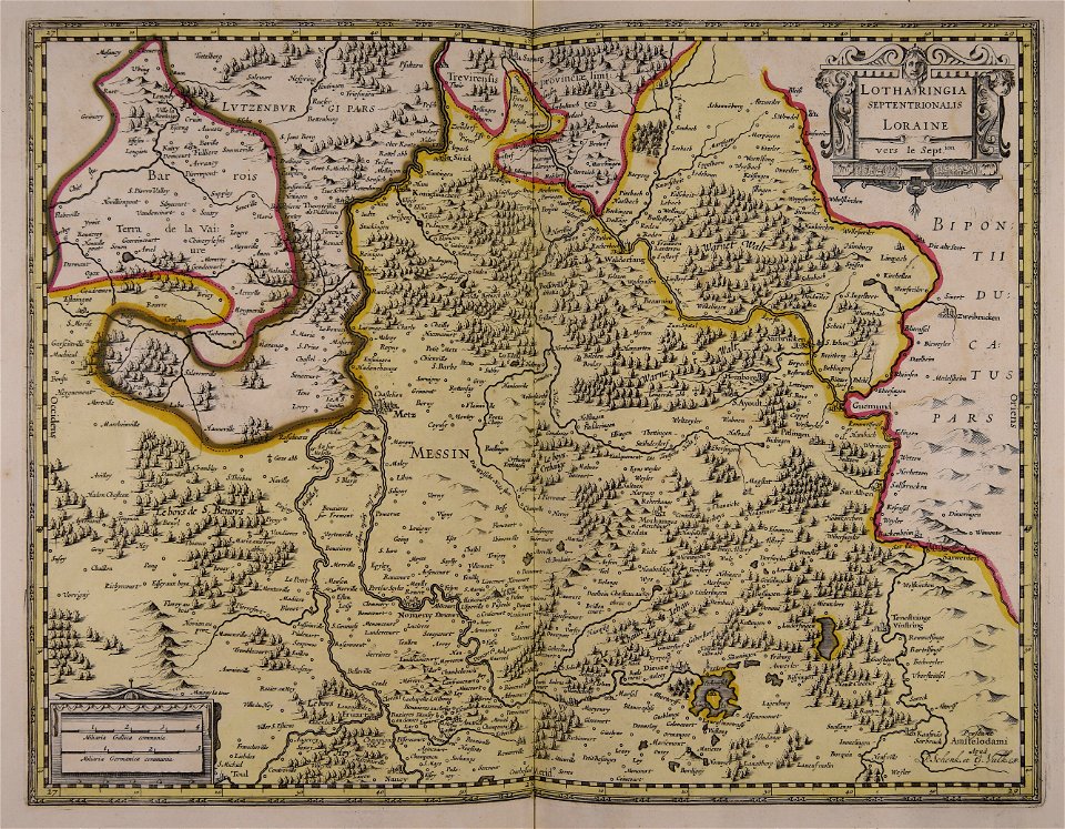
17th-century maps of lorraine
old maps of pays messin
géographie générale; physique, politique et économique (1876)
1870s maps of germany
old maps of regions of france
pierre françois tardieu
géographie illustrée de la france et de ses colonies
old maps of france
géographie illustrée de la france et de ses colonies
old maps of france
géographie illustrée de la france et de ses colonies
old maps of allier
géographie illustrée de la france et de ses colonies
orientalist painting
géographie illustrée de la france et de ses colonies
orientalist painting
1 - 24 of 24
/ 1