Log in
All resources
Create a design
1,142 Free Artworks of Scandinavia
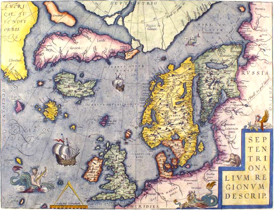
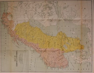
old maps of scandinavia
smithsonian libraries
classification
latin-language maps
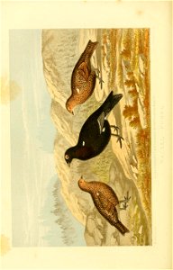
bird
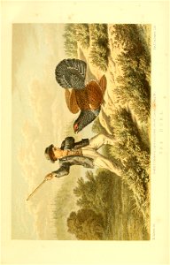
game birds and wild fowl of sweden and norway
nomenclature
ornithologia svecica pt.1-2 (1817-1821)
old maps of the white sea
maps of the barents sea
third voyage of willem barentsz
16th-century maps of the arctic
third voyage of willem barentsz
history of dutch sea fisheries
third voyage of willem barentsz
history of dutch sea fisheries
third voyage of willem barentsz
16th-century maps of the arctic
third voyage of willem barentsz
16th-century maps of the arctic
the voyage of the vega round asia and europe
third voyage of willem barentsz
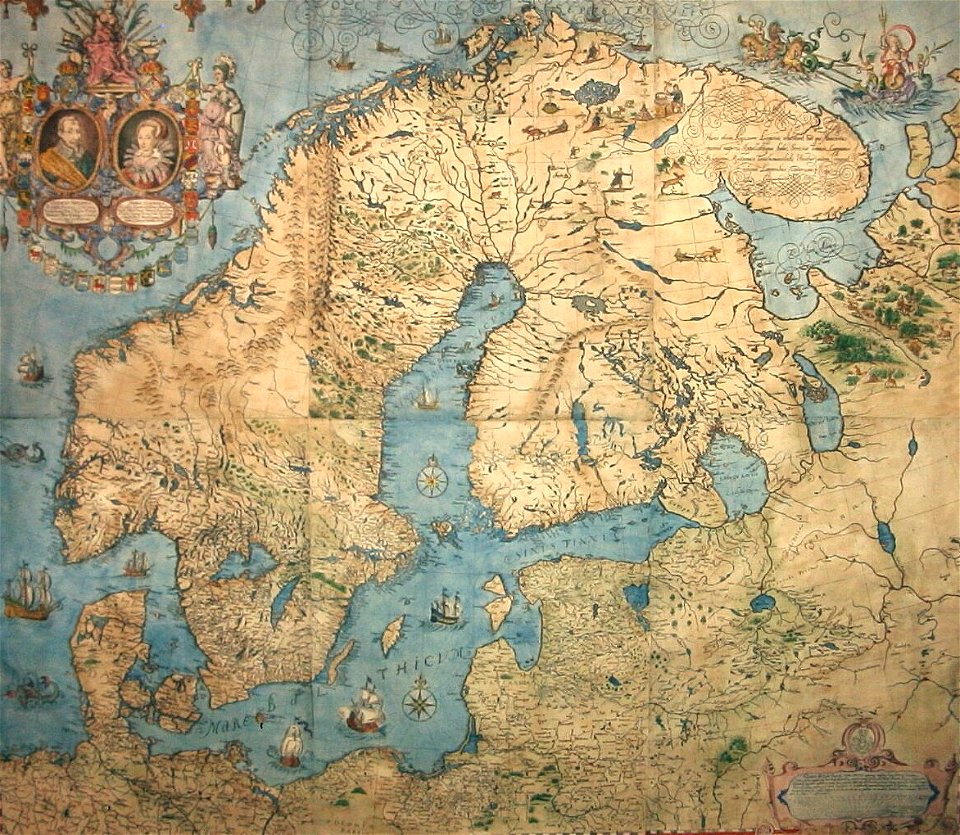
old maps of scandinavia
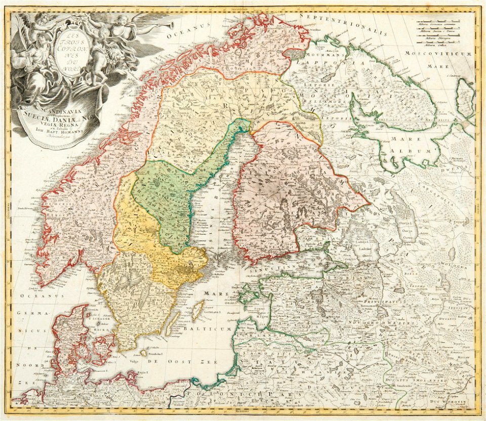
johann baptist homann
itinerario (jan huygen van linschoten)
latin-language maps
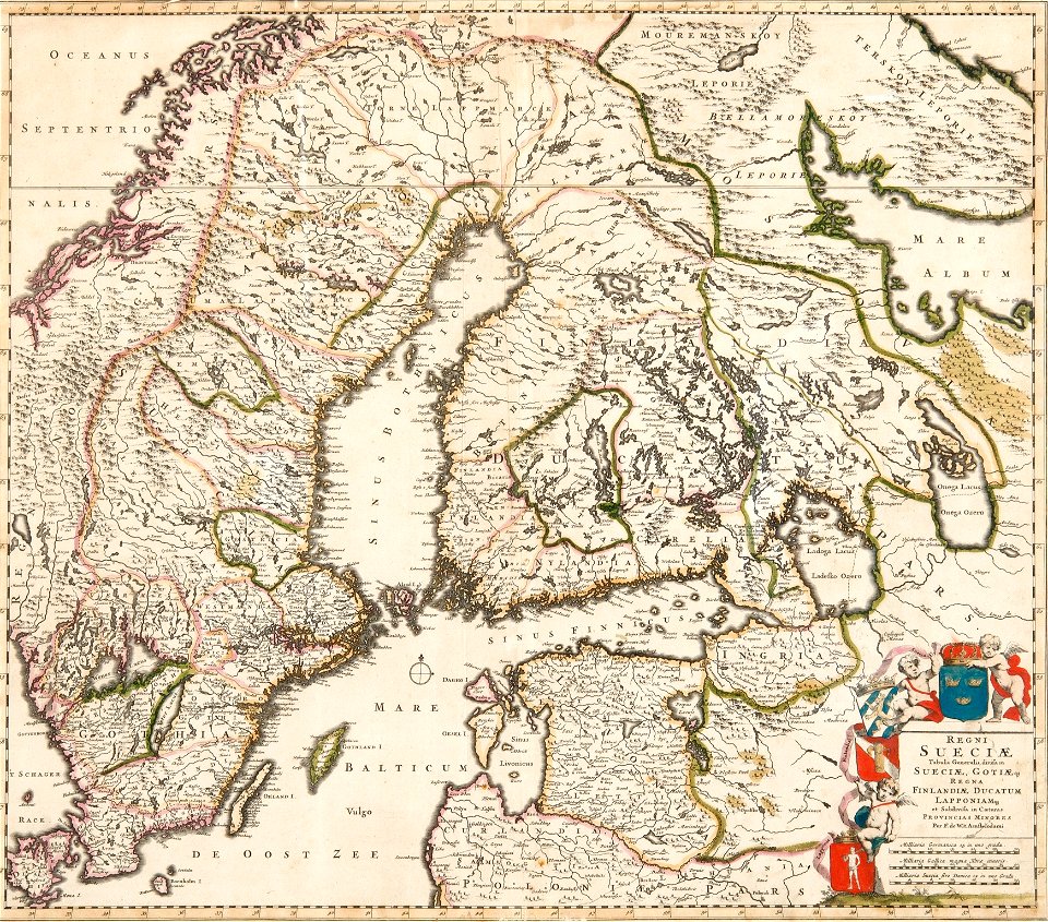
old maps of scandinavia
johannes ratelband
eidsvold 1814, painting
christian magnus falsen
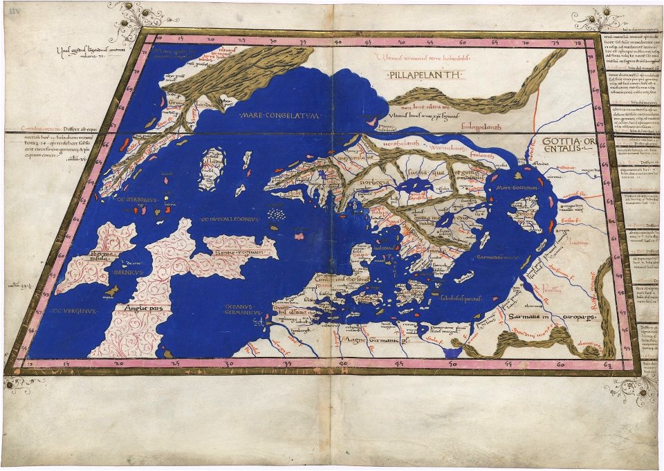
extra-ptolemaic maps of scandinavia
latin-language maps
extra-ptolemaic maps of scandinavia
latin-language maps
old maps of scandinavia
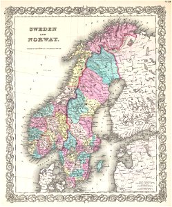
1855 maps
old maps of scandinavia
old maps of scandinavia
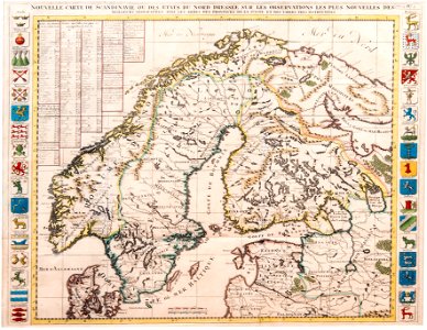
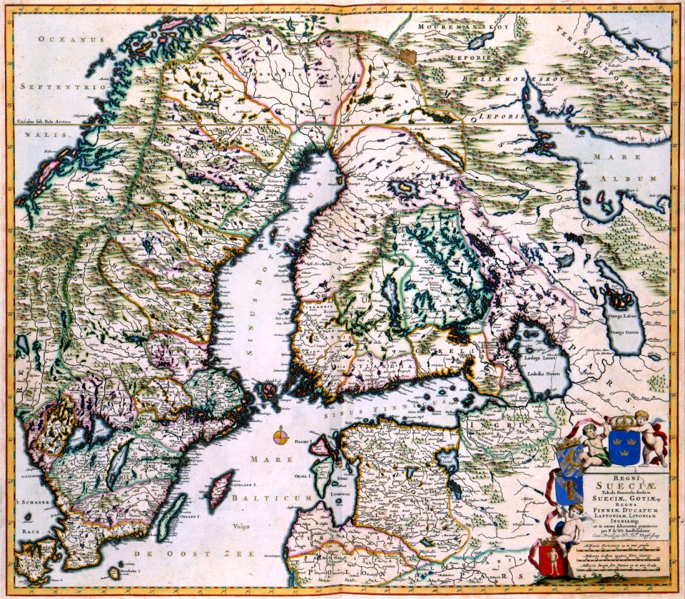
1680 maps
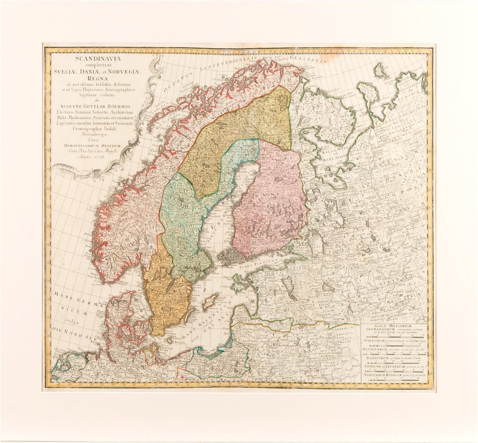
old maps of scandinavia
1750 maps
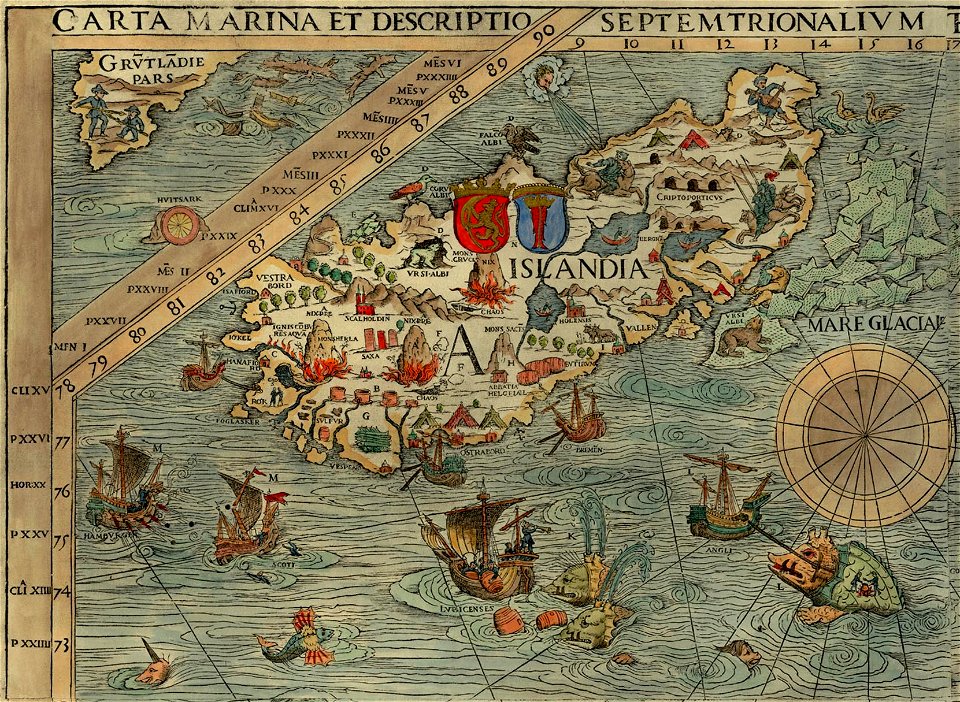
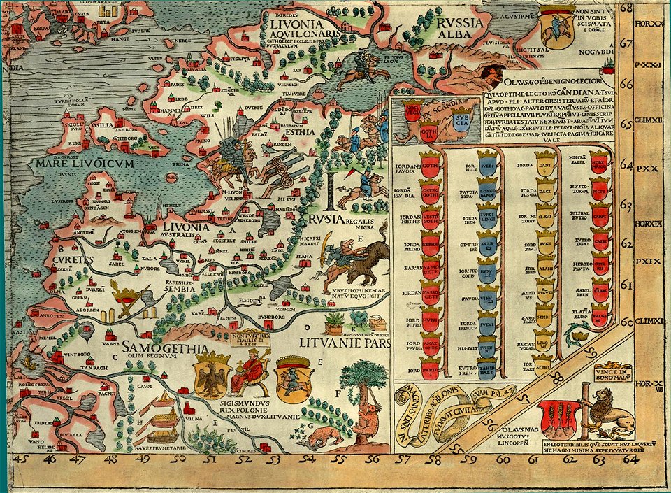
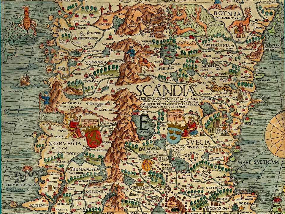
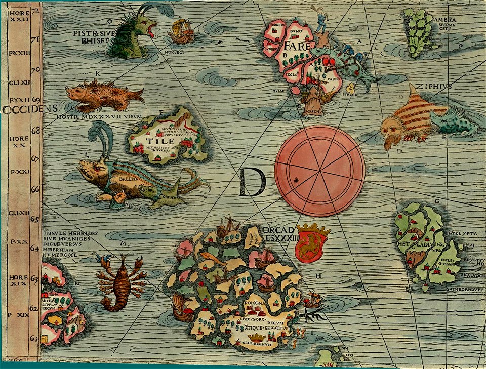
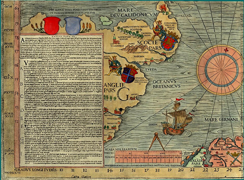
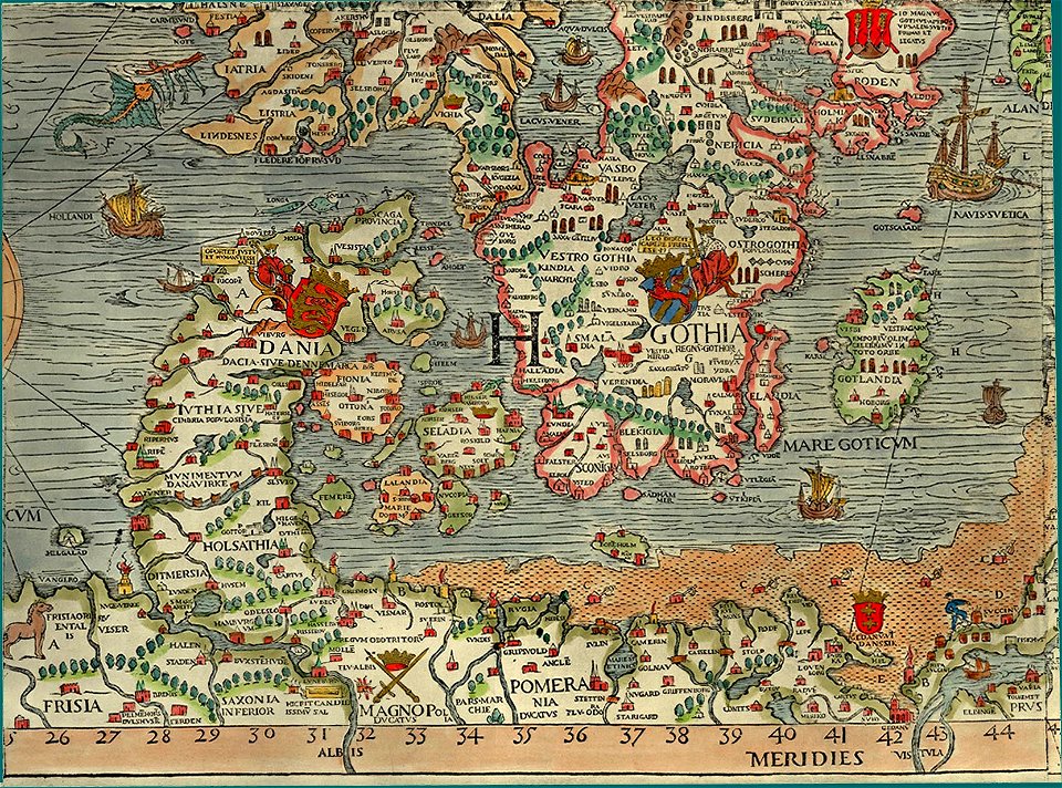
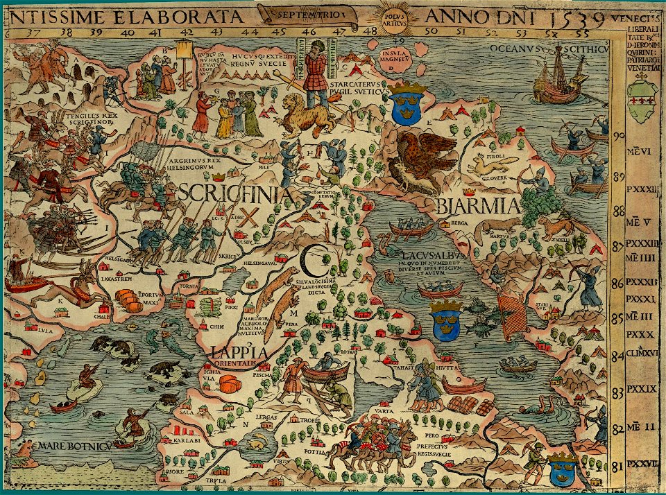
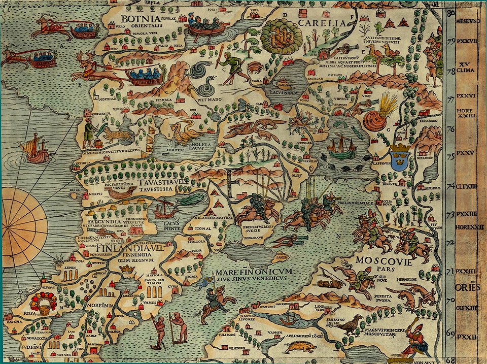
carta marina (details)
overwintering on nova zembla by willem barentsz, 1596-1597
maps in the rijksmuseum amsterdam
carta marina (details)
carta marina (details)
carta marina (details)
carta marina (details)
carta marina (details)
carta marina (details)
extra-ptolemaic maps of scandinavia
latin-language maps
portrait paintings in the nationalmuseum stockholm
ulrika pasch
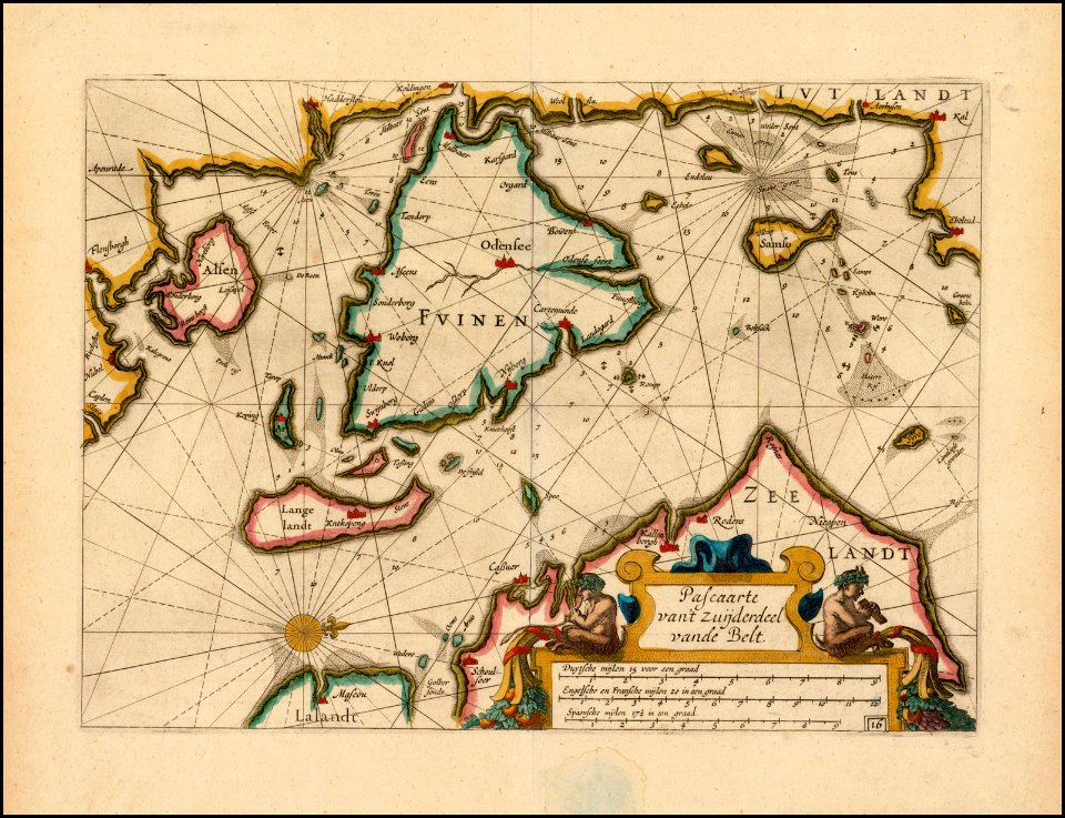
portolan charts by willem and johannes blaeu
old maps of scandinavia
old maps of scandinavia
maps by anders bure
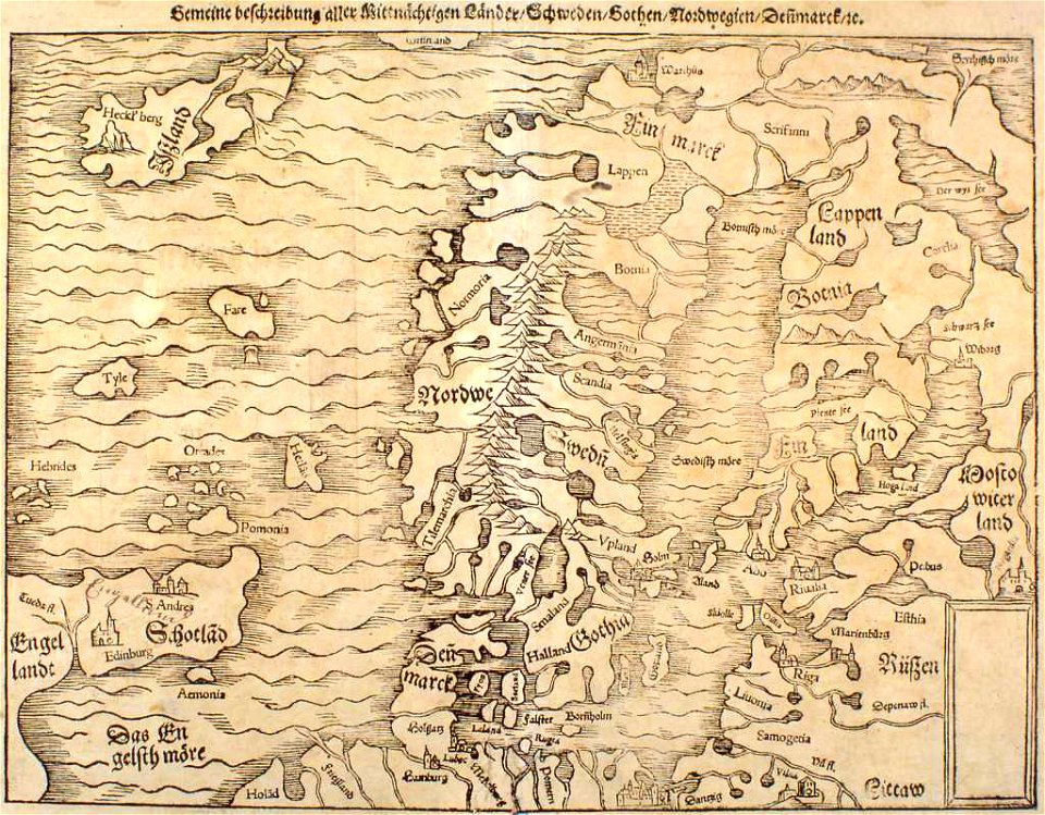
illustrations of cosmographia (münster)
extra-ptolemaic maps of scandinavia
old maps of scandinavia
1552
maps by martin waldseemüller
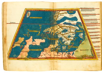
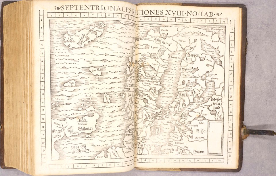
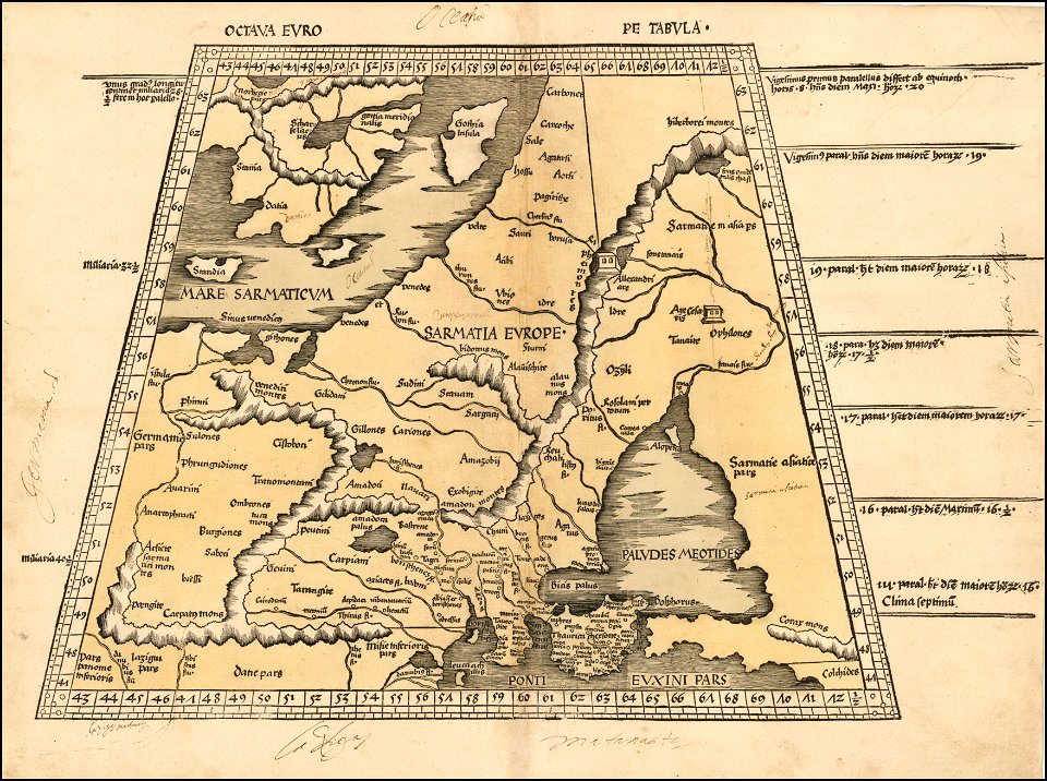
ptolemy's 8th european map
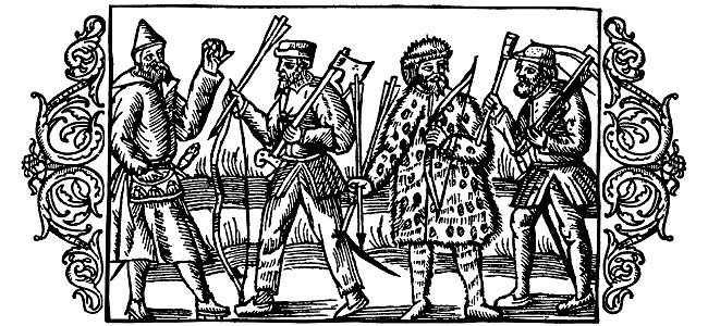
historia de gentibus septentrionalibus
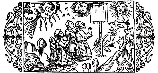
paganism in art
german-language maps
latin-language maps
carta marina (details)
maps of vyborg
carta marina (details)
history of skiing
maps of scandinavia
1877 maps
english wars (scandinavia)
1805
winter and spring on the shores of the mediterranean (1875)
old maps of the british isles
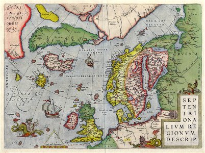
old maps of scandinavia
maps made in the 17th century
old maps of scandinavia
itinerario (jan huygen van linschoten)
latin-language maps
maps by willem and johannes blaeu
copper engraving
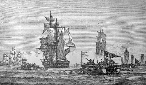
battle of narva (1700)
1700
christmas
winter
old maps of scandinavia
old maps of iceland
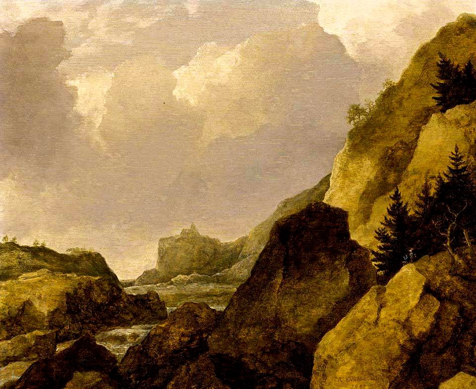
17th-century oil on panel paintings
oil paintings of landscapes
overwintering on nova zembla by willem barentsz, 1596-1597
maps in the rijksmuseum amsterdam
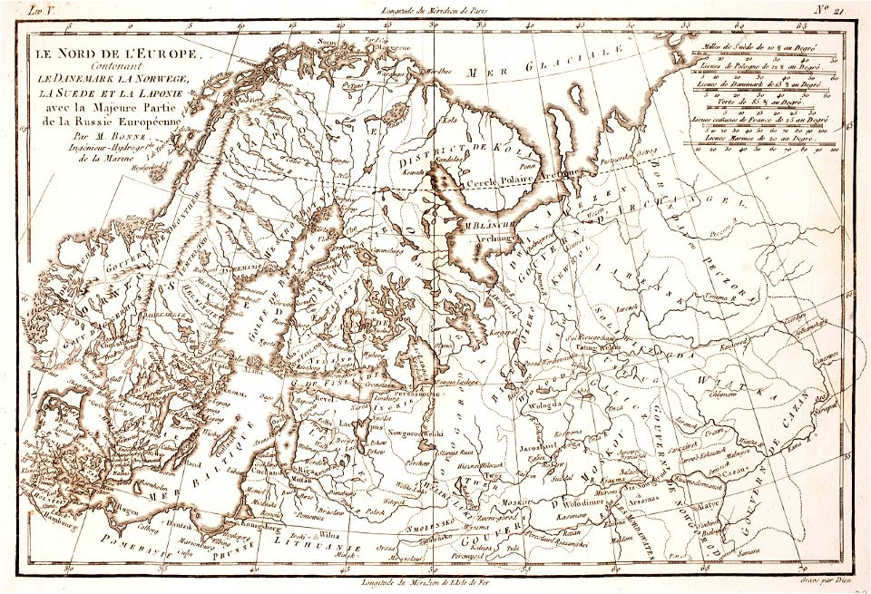
old maps of scandinavia
maps with cartouches
the nordic region
broadaxe
swede
melee
1780 maps of finland
1780 maps of norway
1781
1796
old maps of greenland
old maps of iceland
church of our lady
copenhagen
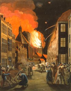
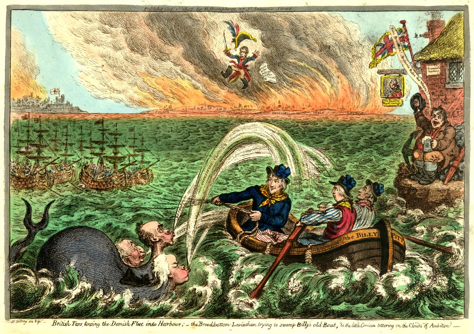
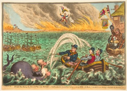
1807 in denmark
leviathan
1807 in denmark
leviathan
london
navy
1807 in denmark
leviathan
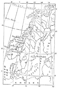
old maps of the nordic region
1840 maps
historisk atlas (stockholm, norstedt & söner, 1880)
maps of the history of scandinavia
family tree of the house of pomerania
philippa of england in art
classicism
1482 maps
geography of northern europe
scandinavia
portraits of men with moustaches
columbia’s courtship
photographs and photograms by lászló moholy-nagy
constructivism
17th-century maps of scandinavia
description de l'universe
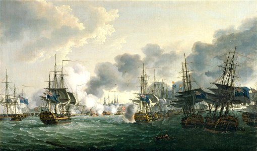
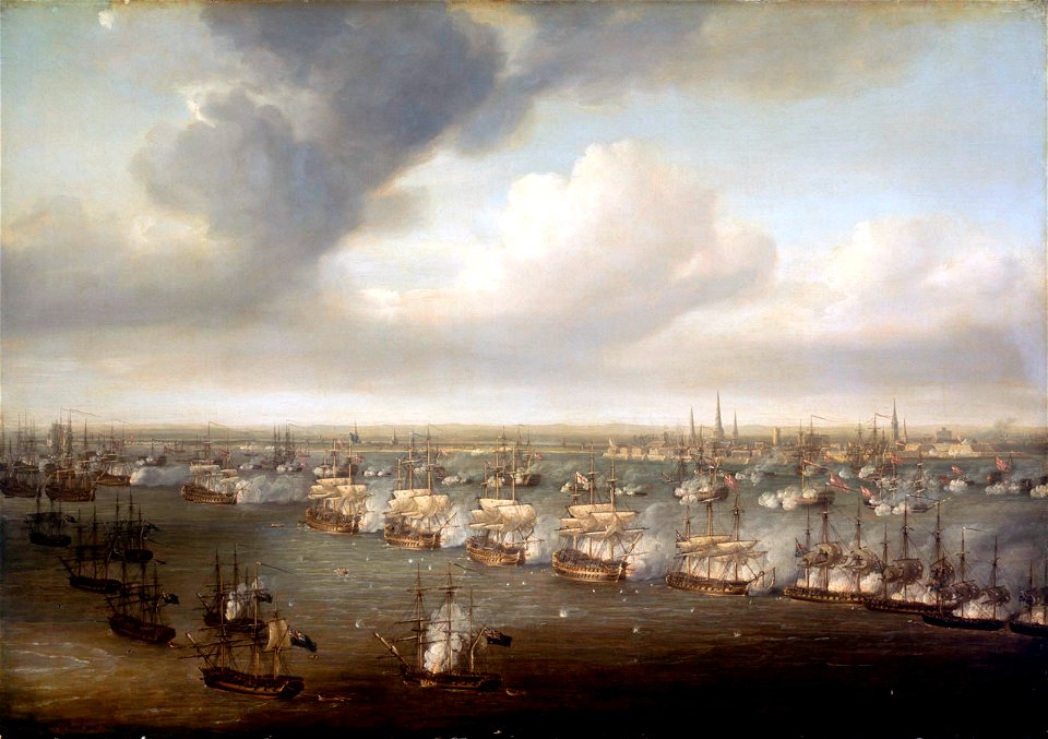
paintings of naval battles
battle of copenhagen
maps of the history of denmark
old maps of scandinavia
sweden
maps
smithsonian libraries
scandinavia
maps by cornelis anthonisz.
1560 maps of europe
scandinavia
wat
scandinavia
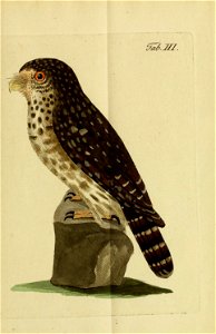
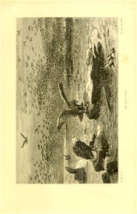
bird
scandinavia
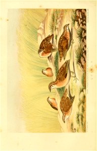
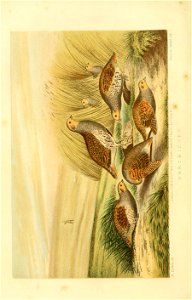
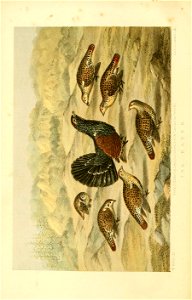
quail
scandinavia
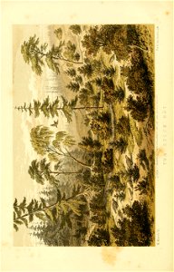
landscape
scandinavia
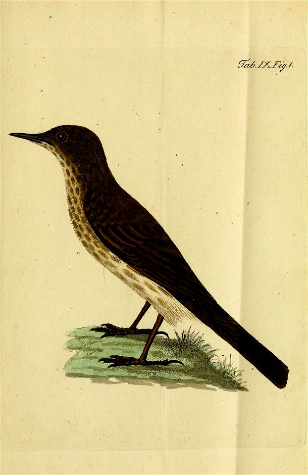
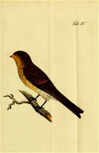
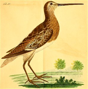
bird
scandinavia
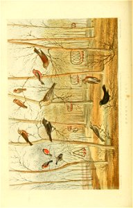
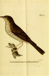
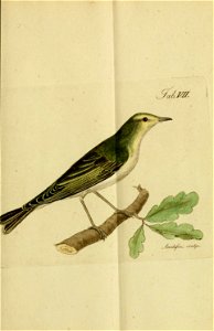
bird
scandinavia
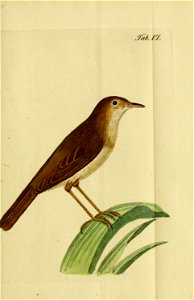
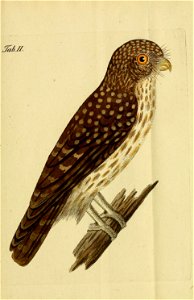
bird
scandinavia
bird
scandinavia
bird
scandinavia
bird
scandinavia
partridge
scandinavia
bird
scandinavia
bird
scandinavia
bird
scandinavia
bird
smithsonian libraries
scandinavia
identification
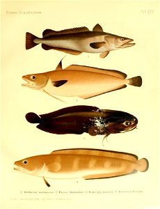
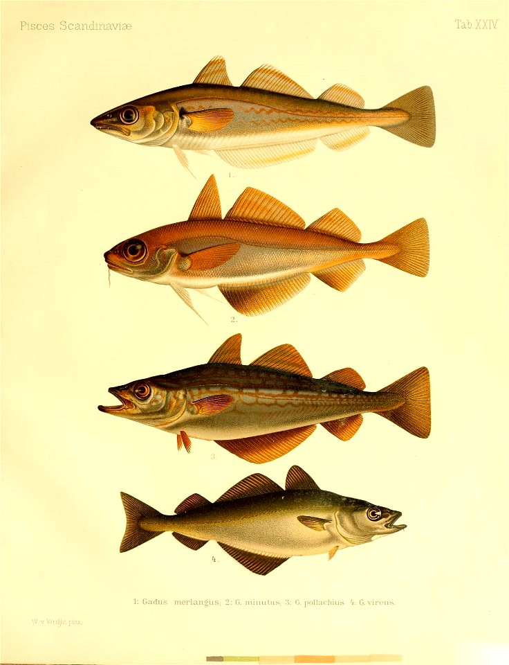
fish
identification
fish
identification
fish
identification
fish
scandinavia
scania
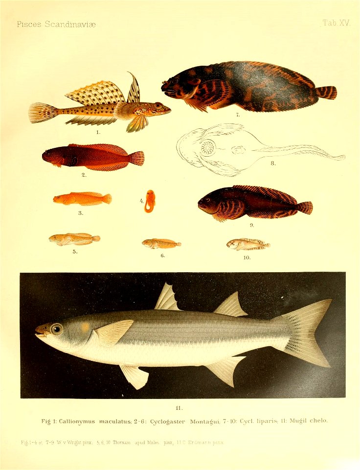
identification
fish
identification
fish
journal
bird
marine animals
scandinavia
scandinavia
bird
identification
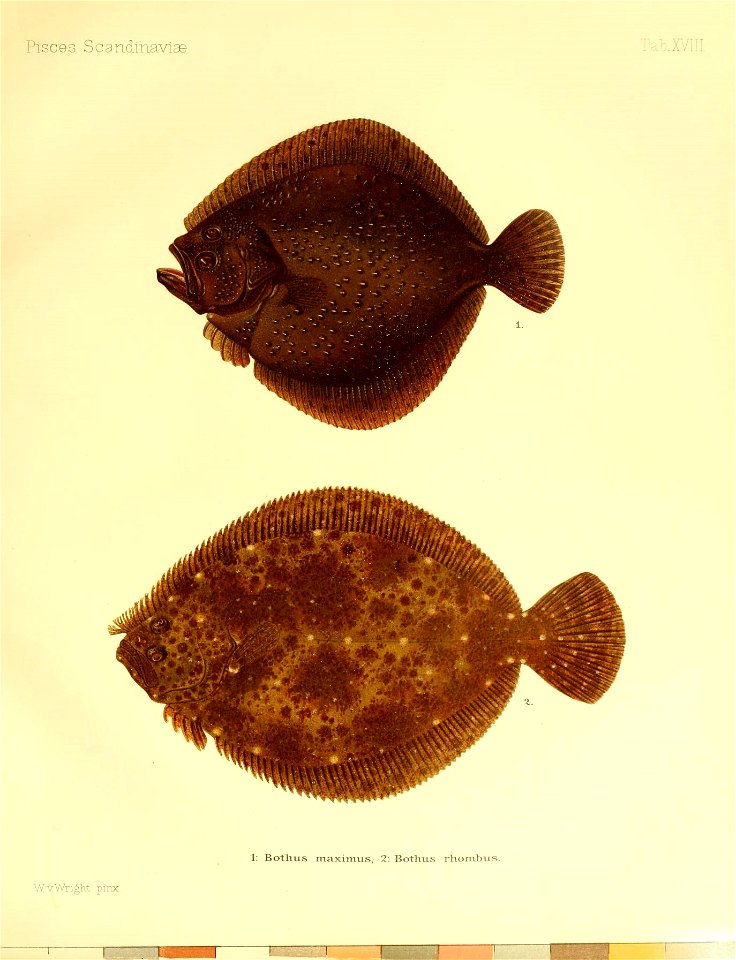
fish
identification
fish
identification
fish
1 - 100 of 1,142
Next page
/ 12