Log in
All resources
Create a design
66 Free Artworks of Old Maps Of Ireland
copper engraving print
1667 maps
atlas maior, vol 6 (scotland and ireland) - joan blaeu, 1667 - bl 114.h(star).6
joan blaeu
british library
miniature speed atlas (1627) pieter van den keere
pieter van den keere
historical national coats of arms of ireland
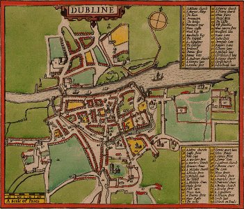
old maps of dublin
old maps of ayrshire
university of toronto wenceslas hollar digital collection
old maps of ireland
images from the new york public library
old maps of ireland
old maps of ireland
gerard valck
old maps of ireland
gerard valck
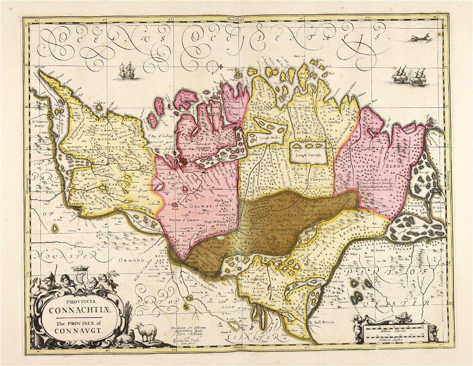
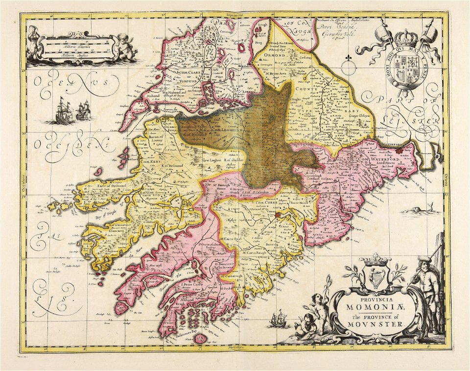
maps by willem and johannes blaeu
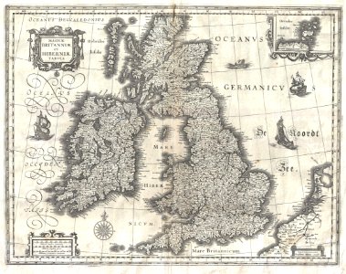
old maps of the british isles
old maps of the british isles
karl spruner von merz
atlante veneto (raremaps.com) volume 2
old maps of ireland
atlante veneto (raremaps.com) volume 2
old maps of ireland
university of toronto wenceslas hollar digital collection
old maps of ireland
hatched coats of arms
old maps of ireland
images uploaded as part of nlw - wmuk collaboration
cc-zero
old maps of ireland
ireland
files from the bodleian libraries
old maps of ireland
files from the bodleian libraries
old maps of ireland
st mary's church
dublin
old maps of the british isles
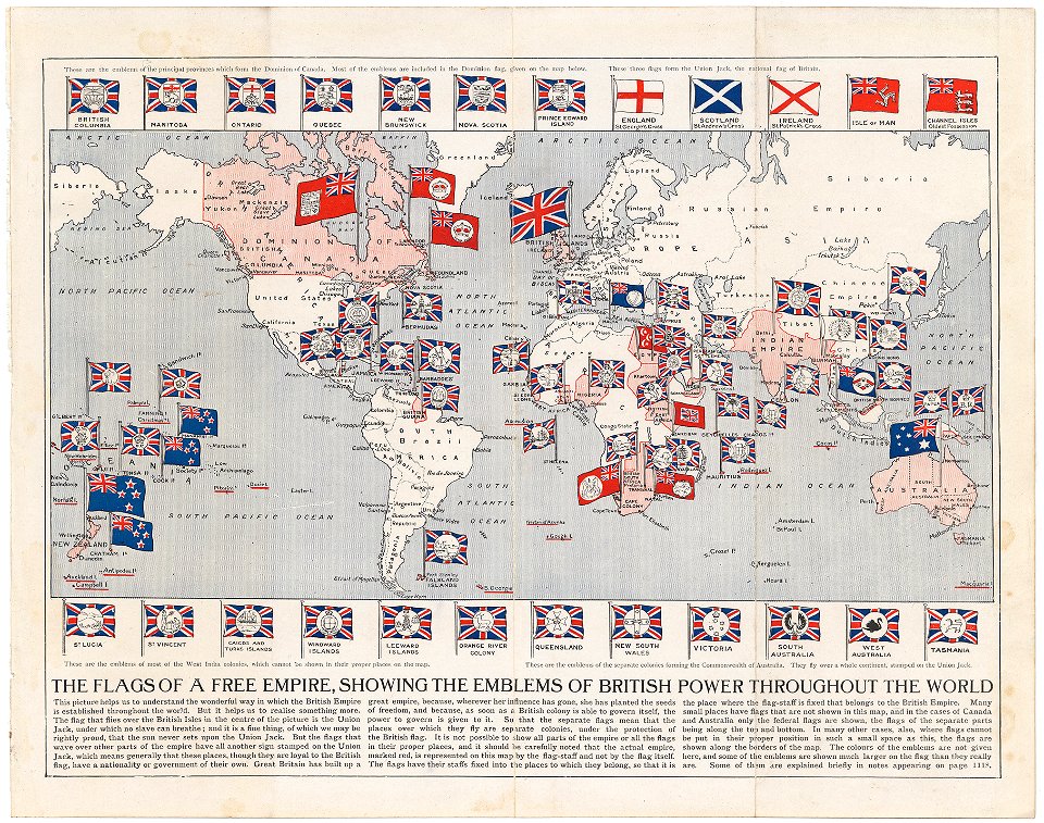
victorian era
colonial
global
the french invasion of ireland in '98 (1890) by gribayèdoff
maps from the mechanical curator collection
admiralty charts region b: england wales ireland english channel southern north sea
admiralty charts 1401-1600
miniature speed atlas (1627) pieter van den keere
old county maps of anglesey
old maps of guernsey
old maps of jersey
maps by nicolaes visscher i
atlas van der hagen
atlas maior, vol 6 (scotland and ireland) - joan blaeu, 1667 - bl 114.h(star).6
1667 maps
atlas maior, vol 6 (scotland and ireland) - joan blaeu, 1667 - bl 114.h(star).6
1667 maps
miniature speed atlas (1627) pieter van den keere
old maps of the orkney islands
miniature speed atlas (1627) pieter van den keere
old county maps of lincolnshire
keshcarrigan
lough scur
miniature speed atlas (1627) pieter van den keere
old county maps of cheshire
miniature speed atlas (1627) pieter van den keere
old county maps of herefordshire
miniature speed atlas (1627) pieter van den keere
old county maps of lancashire
miniature speed atlas (1627) pieter van den keere
1620s maps of wales
atlas maior, vol 6 (scotland and ireland) - joan blaeu, 1667 - bl 114.h(star).6
1667 maps
old maps of the canadian arctic region
victory expedition
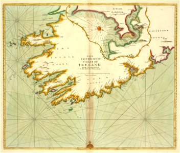
18th-century maps of ireland
old maps of dublin
miniature speed atlas (1627) pieter van den keere
old county maps of gloucestershire
miniature speed atlas (1627) pieter van den keere
old county maps of huntingdonshire
atlas maior, vol 6 (scotland and ireland) - joan blaeu, 1667 - bl 114.h(star).6
1667 maps
atlas maior, vol 6 (scotland and ireland) - joan blaeu, 1667 - bl 114.h(star).6
1667 maps
atlas maior, vol 6 (scotland and ireland) - joan blaeu, 1667 - bl 114.h(star).6
1667 maps
atlas maior, vol 6 (scotland and ireland) - joan blaeu, 1667 - bl 114.h(star).6
1667 maps
atlas maior, vol 6 (scotland and ireland) - joan blaeu, 1667 - bl 114.h(star).6
1667 maps
atlas maior, vol 6 (scotland and ireland) - joan blaeu, 1667 - bl 114.h(star).6
1667 maps
atlas maior, vol 6 (scotland and ireland) - joan blaeu, 1667 - bl 114.h(star).6
1667 maps
atlas maior, vol 6 (scotland and ireland) - joan blaeu, 1667 - bl 114.h(star).6
1667 maps
atlas maior, vol 6 (scotland and ireland) - joan blaeu, 1667 - bl 114.h(star).6
1667 maps
miniature speed atlas (1627) pieter van den keere
old county maps of leicestershire
miniature speed atlas (1627) pieter van den keere
old county maps of derbyshire
miniature speed atlas (1627) pieter van den keere
old maps of the hebrides
atlas maior, vol 6 (scotland and ireland) - joan blaeu, 1667 - bl 114.h(star).6
1667 maps
atlas maior, vol 6 (scotland and ireland) - joan blaeu, 1667 - bl 114.h(star).6
1667 maps
atlas maior, vol 6 (scotland and ireland) - joan blaeu, 1667 - bl 114.h(star).6
1667 maps
atlas maior, vol 6 (scotland and ireland) - joan blaeu, 1667 - bl 114.h(star).6
1667 maps
atlas maior, vol 6 (scotland and ireland) - joan blaeu, 1667 - bl 114.h(star).6
1667 maps
atlas maior, vol 6 (scotland and ireland) - joan blaeu, 1667 - bl 114.h(star).6
1667 maps
atlas maior, vol 6 (scotland and ireland) - joan blaeu, 1667 - bl 114.h(star).6
1667 maps
atlas maior, vol 6 (scotland and ireland) - joan blaeu, 1667 - bl 114.h(star).6
1667 maps
atlas maior, vol 6 (scotland and ireland) - joan blaeu, 1667 - bl 114.h(star).6
1667 maps
atlas maior, vol 6 (scotland and ireland) - joan blaeu, 1667 - bl 114.h(star).6
1667 maps
atlas maior, vol 6 (scotland and ireland) - joan blaeu, 1667 - bl 114.h(star).6
1667 maps
atlas maior, vol 6 (scotland and ireland) - joan blaeu, 1667 - bl 114.h(star).6
1667 maps
daniel de la feuille
1747 maps
laying the atlantic telegraph cable from ship to shore (1857)
valentia island
maps by john cary
1801 maps
old maps of scotland from the norman b. leventhal map center
old maps of ireland from the norman b. leventhal map center
russo-turkish war (1877–1878) in art
great eastern crisis (1875–78)
magazine fort, dublin
maps by john rocque
1 - 66 of 66
/ 1