Log in
All resources
Create a design
54 Free Artworks of Old Maps Of Brabant
old maps of north brabant
maps in the rijksmuseum amsterdam
maps made in the 17th century
atlantis magni tomus secundus (biblioteca comunale di trento)
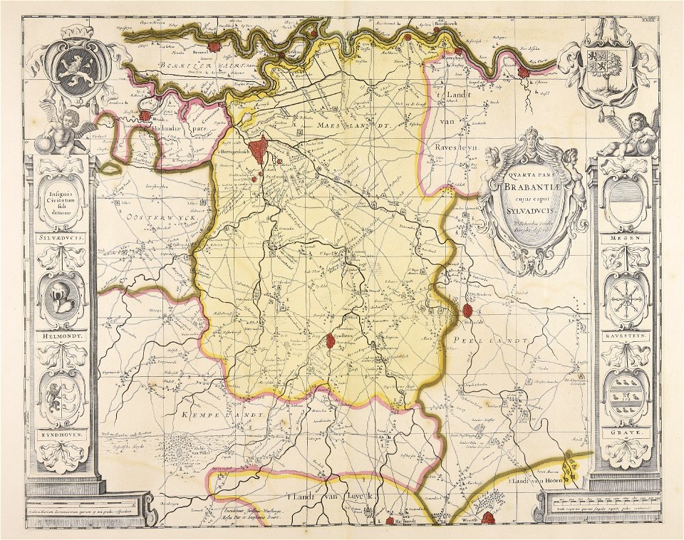
old maps of 's-hertogenbosch
gemeente atlas van nederland - north brabant
old maps of antwerp
atlas novus (blaeu)
1666 in belgium
pieter verbiest (ii)
netherlands
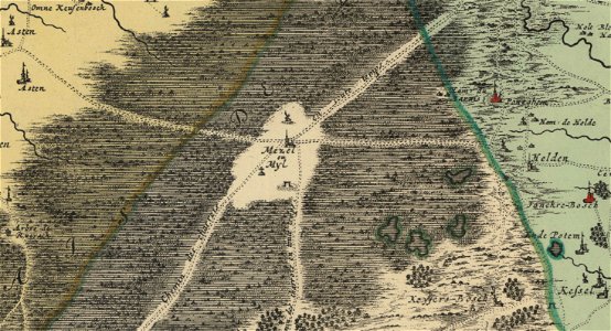
peel
17th-century maps of the netherlands
old maps of north brabant
old maps of north brabant
old maps of zeeland
old maps of north brabant
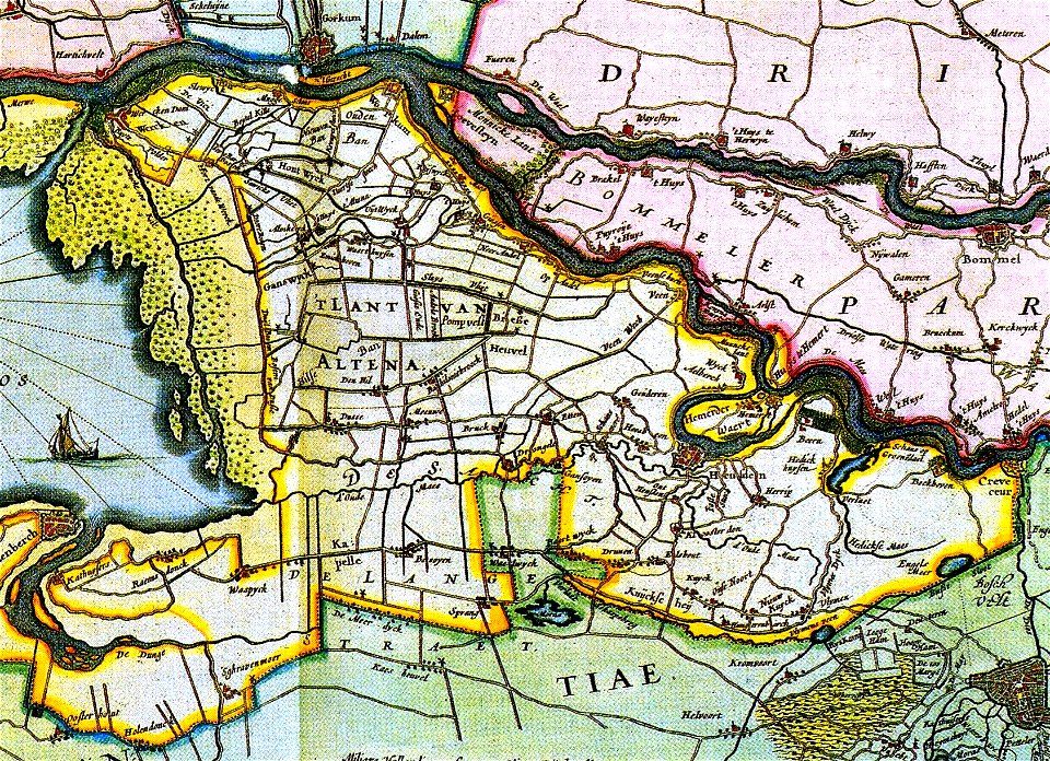
old maps of south holland
atlantis magni tomus secundus (biblioteca comunale di trento)
maps made in the 17th century
atlantis magni tomus secundus (biblioteca comunale di trento)
maps made in the 17th century
atlantis magni tomus secundus (biblioteca comunale di trento)
maps made in the 17th century
atlantis magni tomus secundus (biblioteca comunale di trento)
maps made in the 17th century
atlantis magni tomus secundus (biblioteca comunale di trento)
maps made in the 17th century
merksem
lillo
maps made in the 17th century
gerard valck
maps made in the 17th century
nicolaes visscher ii
maps made in the 17th century
nicolaes visscher ii
maps made in the 17th century
nicolaes visscher ii
old maps of 's-hertogenbosch
empel en meerwijk
old maps of brabant
1666 in belgium
old maps of north brabant
1645 maps of belgium
maps in the phoebus foundation
maps by pieter van der keere
maps by pieter van der keere
old maps of north brabant
old maps of north brabant
maps of megen
siege of geertruidenberg 1593
maps of geertruidenberg
maps by gerardus mercator
kempen (region)
1602 in the netherlands
siege of grave 1602
gemeente atlas van nederland - north brabant
empel
gemeente atlas van nederland - north brabant
old maps of veghel
gemeente atlas van nederland - north brabant
old maps of eindhoven
gemeente atlas van nederland - north brabant
old maps of breda, netherlands
gemeente atlas van nederland - north brabant
old maps of 's-hertogenbosch
old maps of north brabant
coats of arms on maps
gemeente atlas van nederland - north brabant
old maps of bergen op zoom
old maps of north brabant
1645 maps of belgium
breda, netherlands in the 17th century
old maps of north brabant
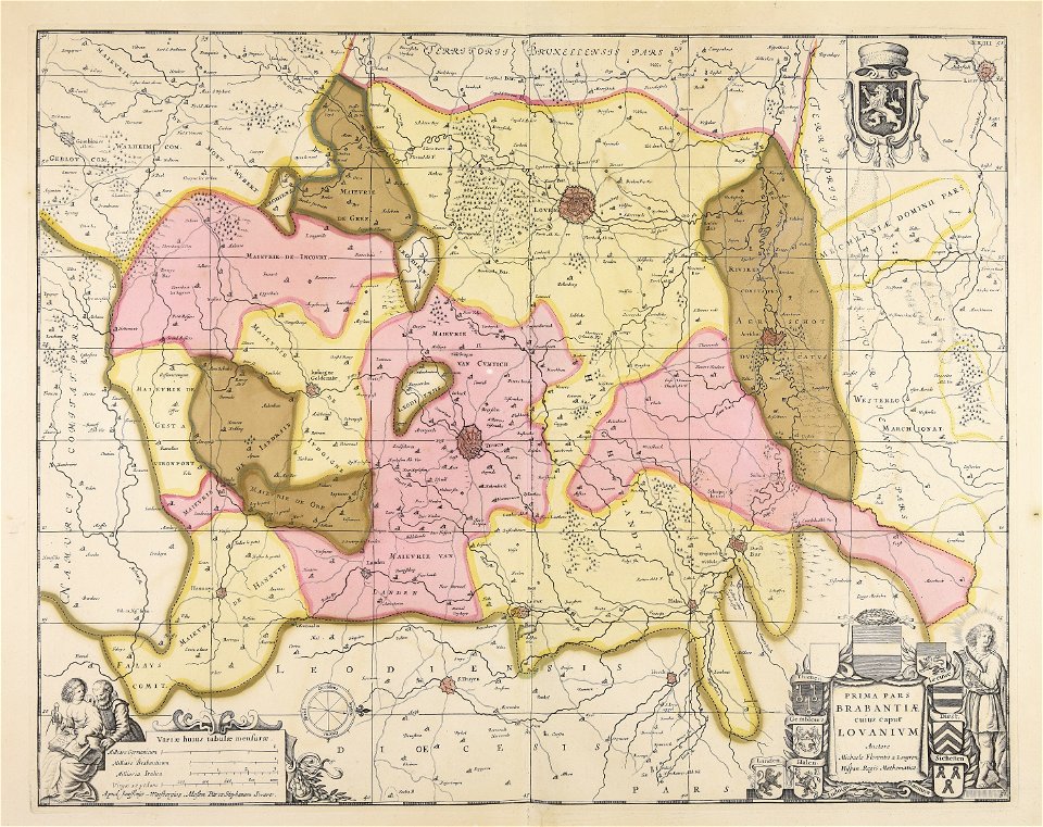
old maps of brabant
guillaume sanson
old maps of brabant
1666 in belgium
siege of bergen-op-zoom 1622
old maps of north brabant
maps by hendrik hondius the younger
old maps of overijssel
old maps of brabant
old maps of leuven
old maps of heusden, north brabant
piet schipperus
maps from university of amsterdam special collections
atlas der neederlanden
old maps of brabant
1666 in belgium
old maps of brabant
1666 in belgium
maps in the rijksmuseum amsterdam
maps by willem and johannes blaeu
maps in the rijksmuseum amsterdam
old maps of antwerp
prints by abraham allard in the rijksmuseum amsterdam
maps in the rijksmuseum amsterdam
prints by abraham allard in the rijksmuseum amsterdam
maps in the rijksmuseum amsterdam
prints published by claes jansz. visscher (ii) in the rijksmuseum amsterdam
maps in the rijksmuseum amsterdam
fortifications of charleroi
old maps of charleroi
old maps of duchy of cleves
guillaume sanson
maps in the rijksmuseum amsterdam
maps by willem and johannes blaeu
maps in the rijksmuseum amsterdam
old maps of 's-hertogenbosch
maps in the rijksmuseum amsterdam
old maps of 's-hertogenbosch
maps in the rijksmuseum amsterdam
david coster
maps in the rijksmuseum amsterdam
maps by willem and johannes blaeu
dutch 17th-century prints in the rijksmuseum amsterdam
siege of breda 1637
1 - 54 of 54
/ 1


![Special map of a part of Dutch Brabant, Guelders and Cleves or the surroundings of Grave, Ravestein, Helmont, Nijmegen, Fort de Schenk, Cleves, Gennip, Emmerick &c. / I. Condet f. 1748, Johannes Condet, [1748]](https://cdn.creazilla.com/illustrations/10000963180/special-map-of-a-part-of-dutch-brabant-guelders-and-cleves-or-the-surroundings-of-grave-ravestein-helmont-nijmegen-fort-de-schenk-cleves-gennip-emmerick-c-i-condet-f-1748-johannes-condet-1748-md.jpg)


