Log in
All resources
Create a design
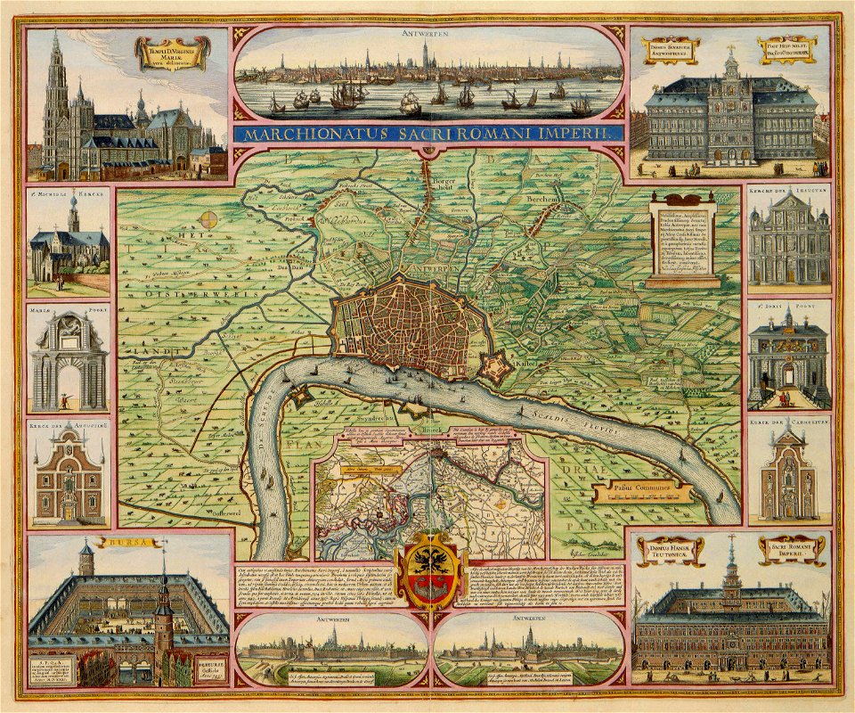
48 Free Artworks of Old Maps Of Antwerp
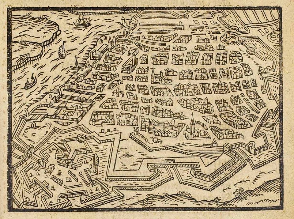
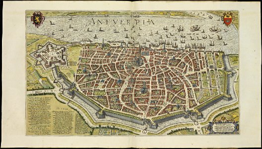
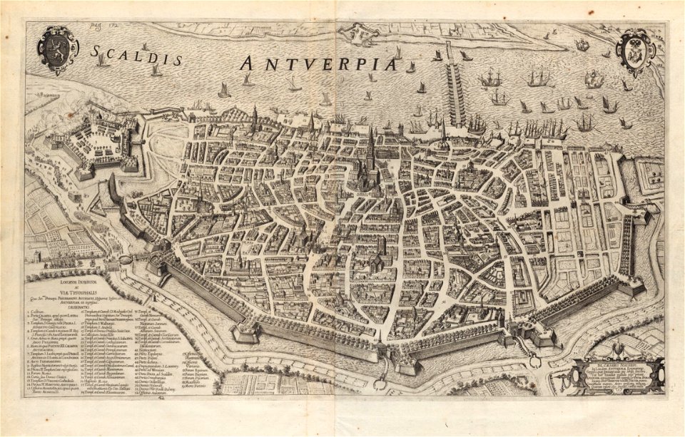
maps of antwerp city walls
maps in the rijksmuseum amsterdam
prints of cartouches in the rijksmuseum amsterdam
bibliothèque nationale de france
maps and topographical views by joris hoefnagel
frans hogenberg
print room of the university of antwerp
jacob peeters
frederick de wit
atlas de wit 1698
maps of antwerp city walls
old maps of antwerp
flemish 16th-century prints in the rijksmuseum amsterdam
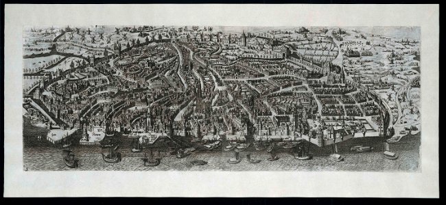
maps of antwerp city walls
maps of antwerp city walls
frederick de wit
maps by willem and johannes blaeu
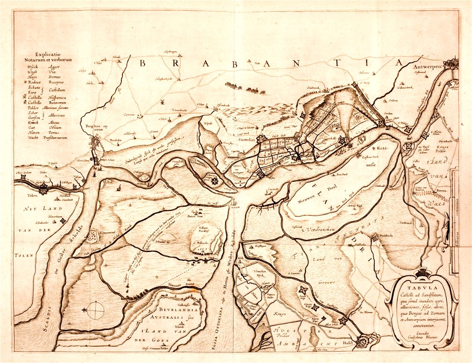
lillo
claes jansz. visscher (ii)
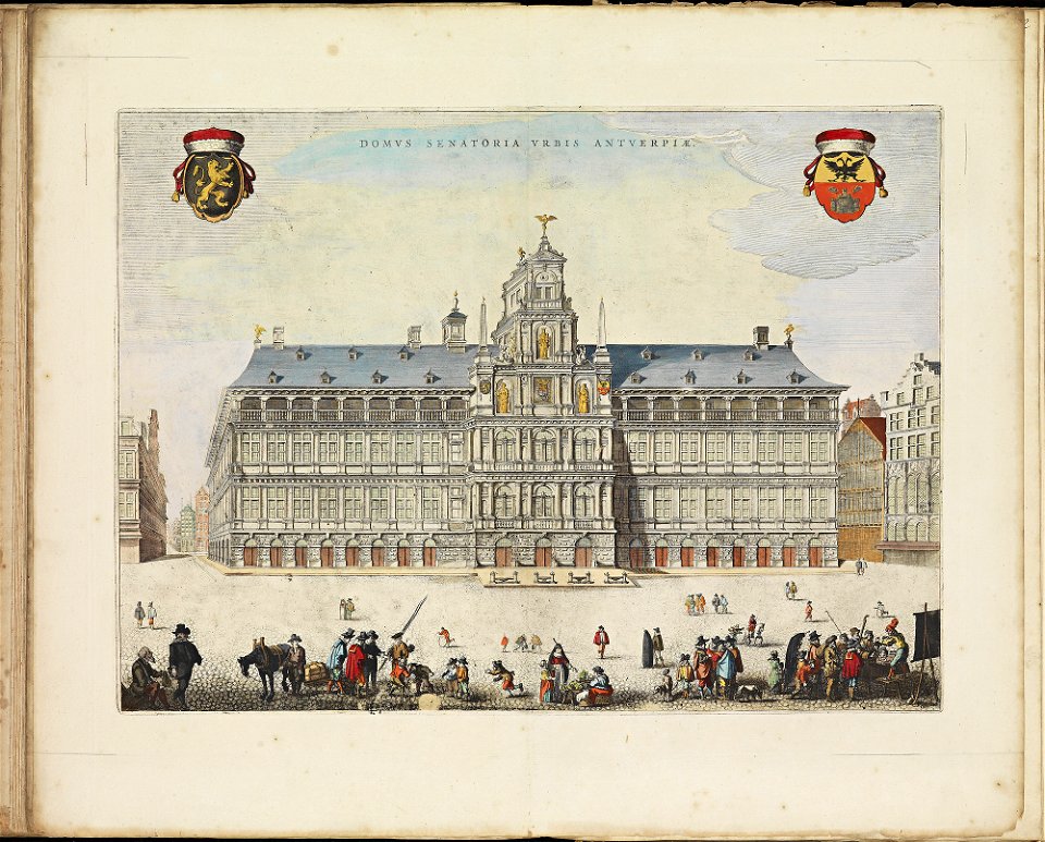
antwerp
maps of antwerp city walls
frederick de wit
prints from manesson travaux de mars at the peace palace library
fortifications in belgium
engravings after peter paul rubens
harvard university
maps of antwerp city walls
frederick de wit
antwerp
hoboken
maps of antwerp city walls
old maps of antwerp
ekeren
lillo
dendermonde
lillo
artworks with known accession number
artworks without wikidata item
artworks with known accession number
artworks without wikidata item
artworks with known accession number
artworks without wikidata item
history of antwerp
renaissance
maps by giacomo gastaldi
maps by gerard de jode
maps of the crown of aragon
old maps of medieval iberia
1590s maps of the world
cornelis de jode
old maps of brabant
1666 in belgium
print room of the university of antwerp
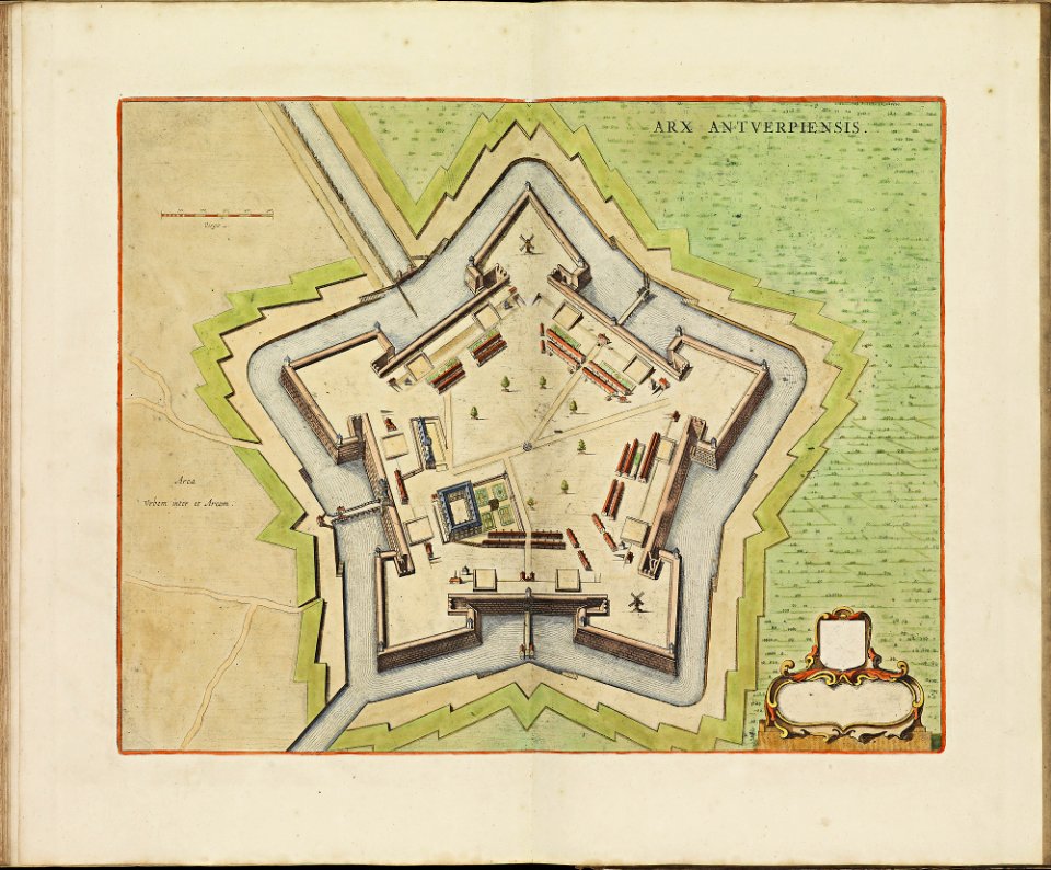
citadel van antwerpen
print room of the university of antwerp
plattegrond van antwerpen
print room of the university of antwerp
citadel van antwerpen
maps of antwerp city walls
old maps of antwerp
maps of antwerp city walls
old maps of antwerp
print room of the university of antwerp
kaarten van vlaanderen (prentenkabinet)
maps by pieter van der keere
old maps of north brabant
americae 1562 by diego gutiérrez and hieronymus cock
renaissance
maps of the ganges river
old maps of bengal
old maps of hainaut (province)
1590s maps of belgium
korte beschryvinghe (1686)
old maps of valletta
korte beschryvinghe (1686)
old maps of heraklion
maps and topographical views by joris hoefnagel
1580s maps of spain
old maps of lima
joseph mulder
description des principales villes (1690)
durrës in the 17th century
description des principales villes (1690)
old maps of santa maura
maps of provence by pierre-jean de bompar
bibliothèque nationale de france
serie 9, nederlandse en duitse gebeurtenissen, 1583-1587
album met 345 prenten van hogenberg
prints by abraham allard in the rijksmuseum amsterdam
maps in the rijksmuseum amsterdam
prints by abraham allard in the rijksmuseum amsterdam
maps in the rijksmuseum amsterdam
maps in the rijksmuseum amsterdam
maps by willem and johannes blaeu
maps in the rijksmuseum amsterdam
old maps of antwerp
maps in the rijksmuseum amsterdam
old maps of antwerp
flemish 17th-century prints in the rijksmuseum amsterdam
assault on antwerp 1605
maps in the rijksmuseum amsterdam
maps by willem and johannes blaeu
maps in the rijksmuseum amsterdam
old maps of antwerp
maps in the rijksmuseum amsterdam
old maps of antwerp
1 - 48 of 48
/ 1


![Carpetaniae partis descr. / [Georgius Hoefnaglius], Joris Hoefnagel, 1584](https://cdn.creazilla.com/illustrations/10000765930/carpetaniae-partis-descr-georgius-hoefnaglius-joris-hoefnagel-1584-md.jpg)


