Log in
All resources
Create a design
99 Free Artworks of Maps Of Stockholm
historisk atlas (stockholm, norstedt & söner, 1880)
19th-century maps of stockholm
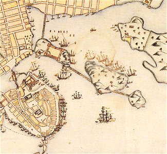
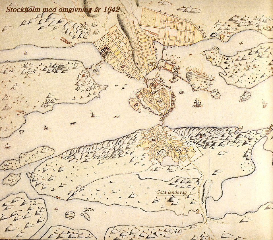
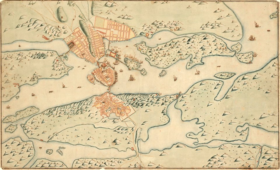
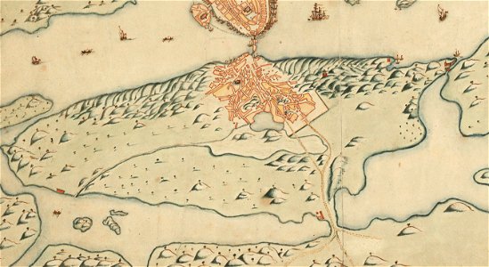
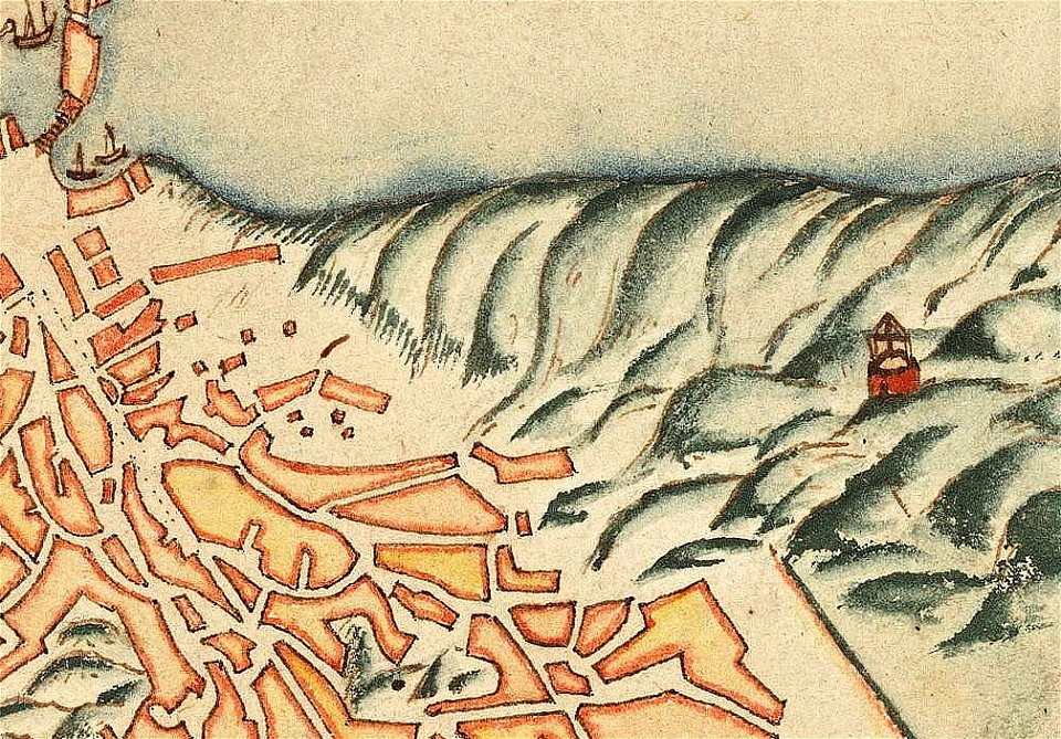
old map of stockholm 1642
maps by wilhelm maximilian carpelan
18th-century maps of stockholm
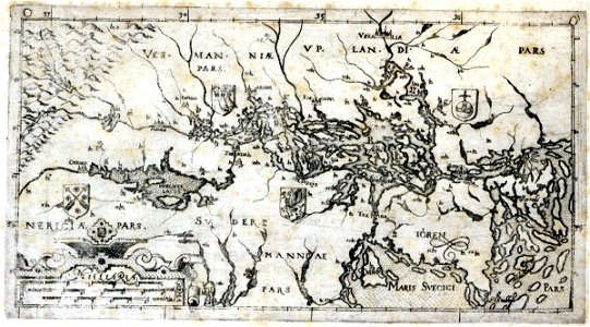
old maps of stockholm county
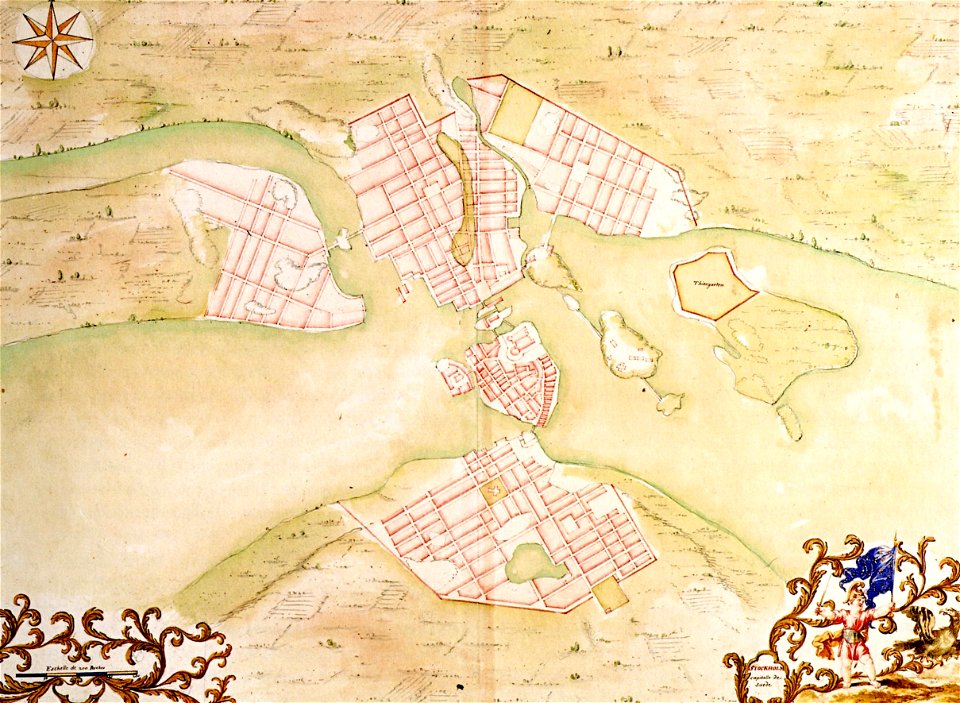
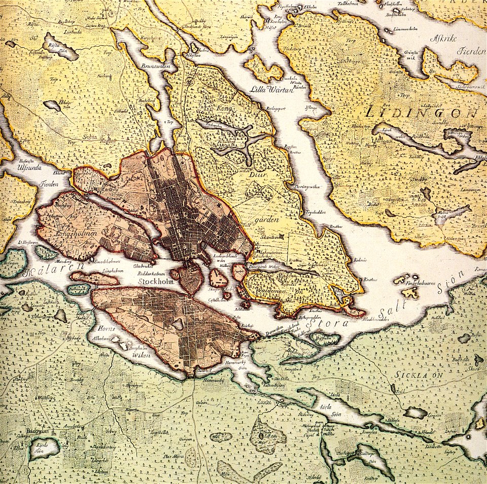
maps of stockholm by petrus tillaeus
17th-century maps of stockholm
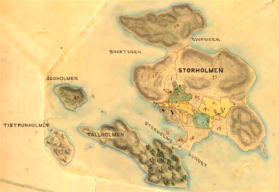
maps of lidingö
maps of the history of sweden
19th-century maps of stockholm
1870 maps
18th-century maps of stockholm
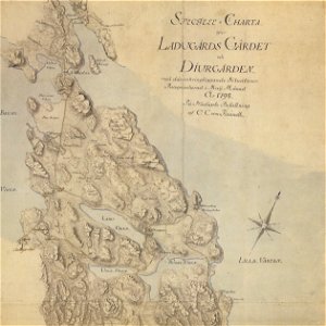
maps of gärdet
windmills in stockholm
maps of östermalm
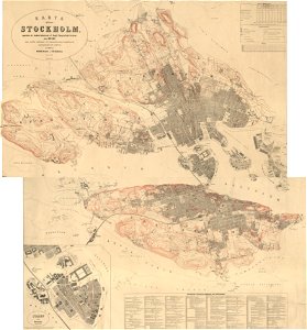
19th-century maps of stockholm
gamla stockholm 1897
19th-century maps of stockholm
street lights in stockholm
stockholm
mälaren
old map of stockholm 1642
old map of stockholm 1642
göta landsväg
17th-century maps of stockholm
old map of stockholm 1642
maps of stockholm by petrus tillaeus
ingemarshof
17th-century maps of stockholm
maps of hjorthagen
brännkyrka kyrka
älvsjö gård
18th-century maps of stockholm
maps of hjorthagen
old maps of stockholm county
maps of lidingö
kvarnholmen
maps
maps of gamla stan
1862 in stockholm
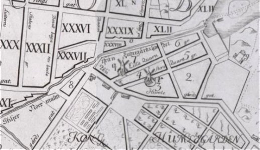
old maps of stockholm by georg biurman
ulvsunda slott - park
haninge municipality
haninge
kvarteret rännilen
stockholm
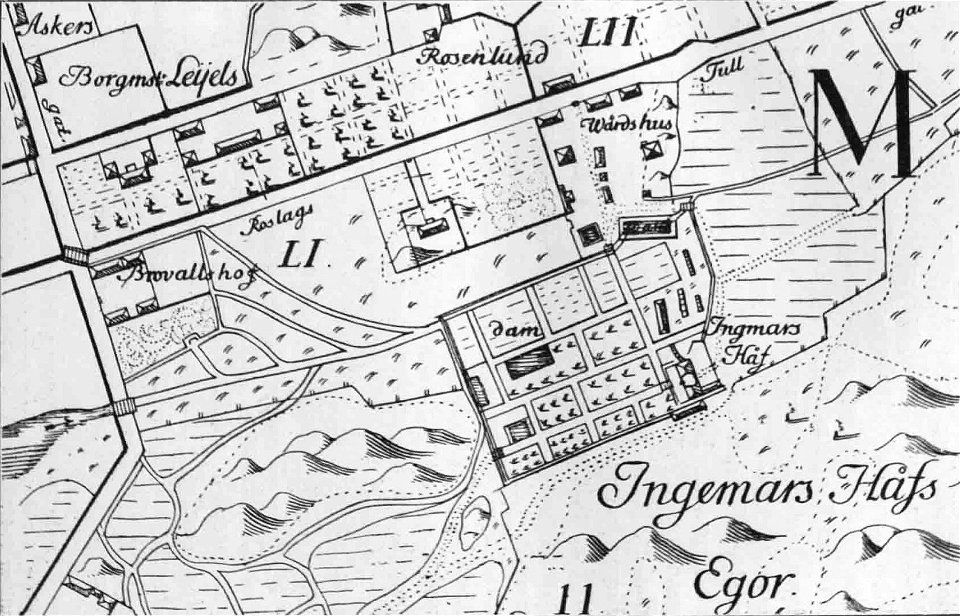
lidingöbro värdshus
villervallan
17th-century maps of stockholm
17th-century maps of stockholm
old map of stockholm 1642
södermalm
old maps of stockholm by georg biurman
old map of stockholm 1642
södermalm
stockholm
mälaren
maps of stockholm by petrus tillaeus
nybroviken
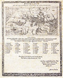
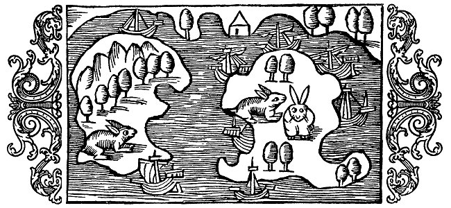
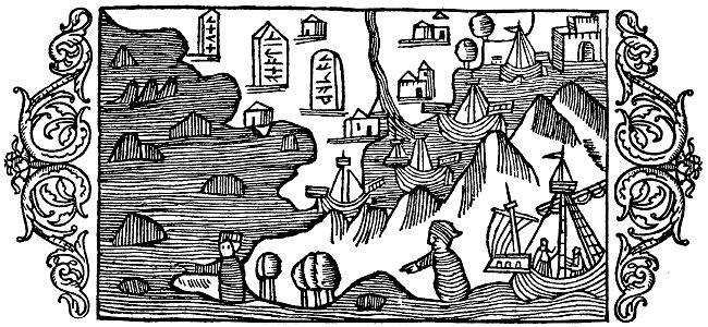
historia de gentibus septentrionalibus
värmdö,
19th-century maps of stockholm
lidingö kommun
18th-century maps of stockholm
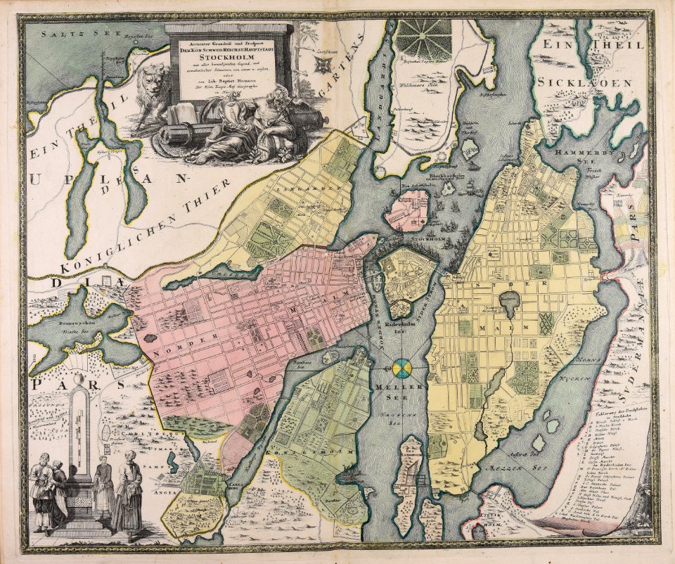
johann baptist homann
world
maps
portrait paintings in the nationalmuseum stockholm
ulrika pasch
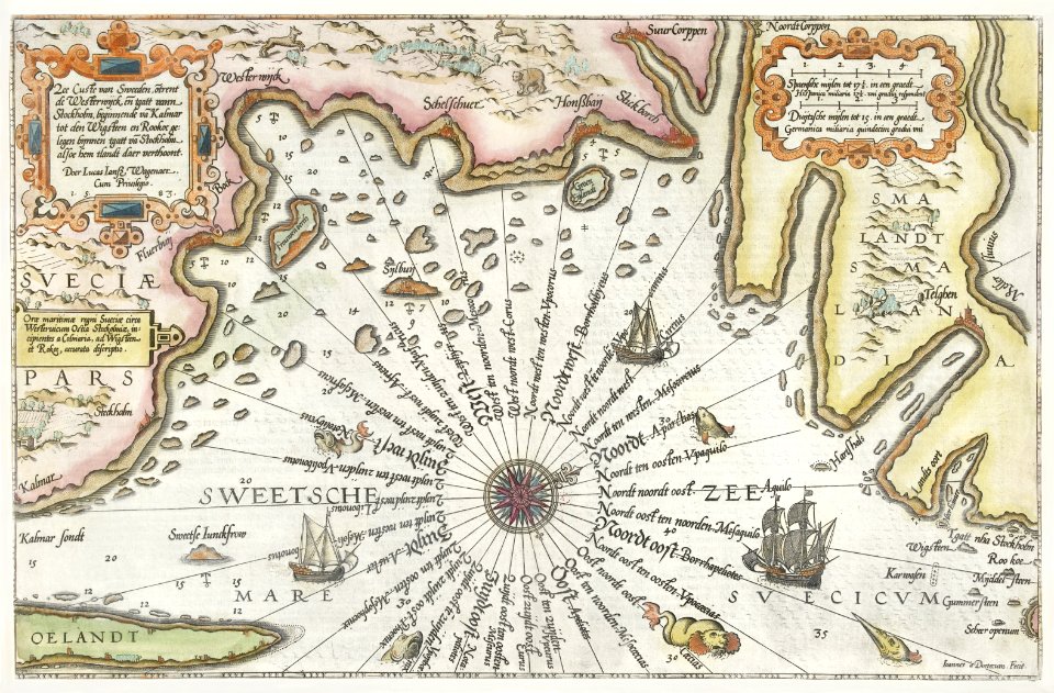
lucas janszoon waghenaer
1588 maps
maps of stockholm county
tyresö slott
18th-century maps of stockholm
veduta
a.de la motraye's travels through europe, asia, and into part of africa (1723) by la mottraye
18th-century maps of stockholm
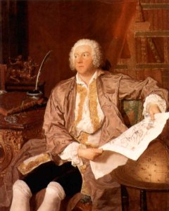
carl gustaf tessin
paris
gustav iii
male
christina of sweden
rené descartes
maps of djurgården
djurgårdsslätten
enskede slakthus
slakthusområdet
maps by wilhelm maximilian carpelan
19th-century maps of stockholm
smedslätten
ålsten
maps of the history of sweden
maps of the kalmar union
lorens pasch the younger
rococo
historisk atlas (stockholm, norstedt & söner, 1880)
maps of the history of scandinavia
strålsjön
älta
19th-century maps of stockholm
prins eugens waldemarsudde
maps of the history of the middle east
maps of 12th-century asia
old maps of the kingdom of france (987-1792)
19th-century maps of the british isles
maps by wilhelm maximilian carpelan
maps of lidingö
historisk atlas (stockholm, norstedt & söner, 1880)
old maps of the polish-lithuanian commonwealth
maps of the history of denmark
old maps of scandinavia
naturalism,symbolism
maps of stockholm
maps by wilhelm maximilian carpelan
gröndal, maps
eric (xii) of sweden (erik magnusson)
maps of the history of sweden
maps of the history of palestine
1880s maps of palestine
maps of lidingö
1781 in sweden
maps of the history of sweden
1386 in sweden
maps of the umayyad caliphate (damascus)
old maps of the caliphate
historisk atlas (stockholm, norstedt & söner, 1880)
maps showing 843
a.de la motraye's travels through europe, asia, and into part of africa (1723) by la mottraye
realism
maps showing history of the early middle ages
charles the bald
windmills in stockholm
naturalism,symbolism
maps of lidingö
1774 in sweden
historisk atlas (stockholm, norstedt & söner, 1880)
maps showing 5th-century bc history
historisk atlas (stockholm, norstedt & söner, 1880)
19th-century maps of the british isles
maps of 12th-century asia
maps of the crusades
historisk atlas (stockholm, norstedt & söner, 1880)
old maps of the polish-lithuanian commonwealth
historisk atlas (stockholm, norstedt & söner, 1880)
old maps of the carolingian empire
historisk atlas (stockholm, norstedt & söner, 1880)
maps of 13th-century greece
maps by wilhelm maximilian carpelan
slättens gård, mälarhöjden
naturalism,symbolism
drawings of ships
historisk atlas (stockholm, norstedt & söner, 1880)
maps of 14th-century europe
historisk atlas (stockholm, norstedt & söner, 1880)
old maps of the polish-lithuanian commonwealth
historisk atlas (stockholm, norstedt & söner, 1880)
maps of 13th-century germany
maps of the history of sweden
old maps of scandinavia
historical images of watch towers
naturalism,symbolism
historisk atlas (stockholm, norstedt & söner, 1880)
maps of the history of asia
hummelmora torp
hummelmora hage
media from the national library of finland
classicism
historisk atlas (stockholm, norstedt & söner, 1880)
maps of 11th-century italy
historisk atlas (stockholm, norstedt & söner, 1880)
old maps of the roman empire
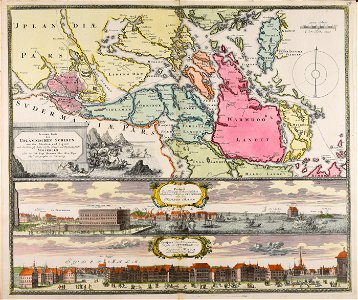
suecia antiqua et hodierna, volume 3
history of visby
cartography
maps
etchings in the rijksmuseum amsterdam
johannes van den aveelen
maps from the earth and its inhabitants, vol. v
19th-century maps of stockholm
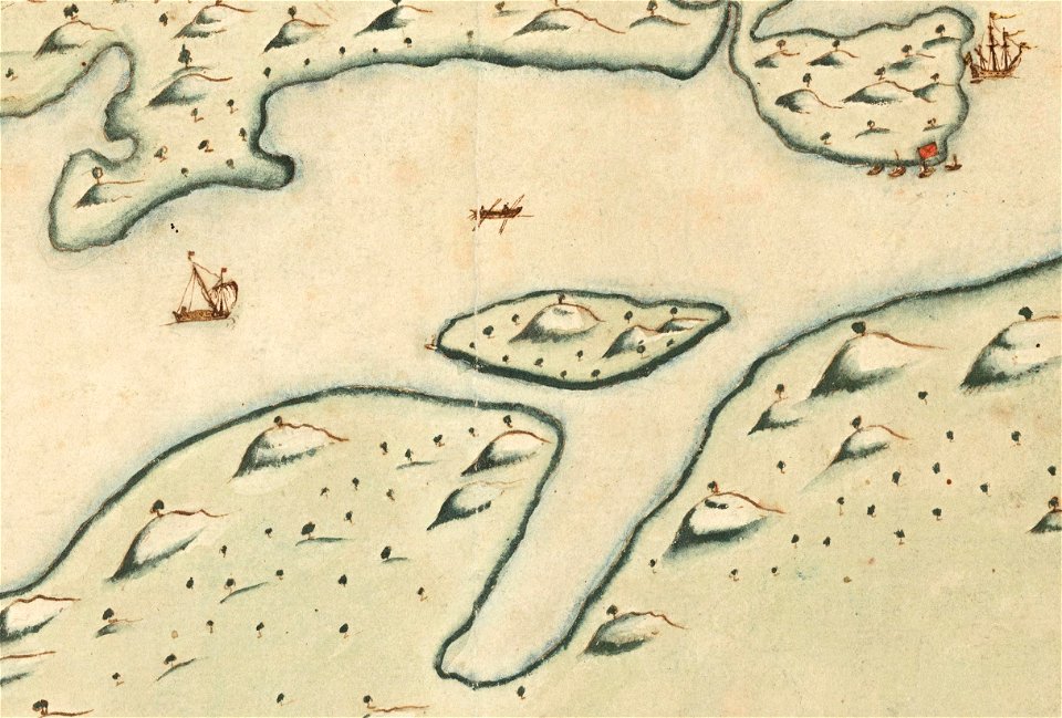
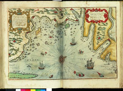
zee custe van sweeden, ontrent de westerwijck, ende tgatt vann stockholm, beginnende van kalmar tot den wigsteen en rookoe gelegen bynnen tgatt van stockholm alsoe hem tlandt daer verthoont - doer lucas... - btv1b53235860x
bibliothèque nationale de france
zee custe van sweeden, ontrent de westerwijck, ende tgatt vann stockholm, beginnende van kalmar tot den wigsteen en rookoe gelegen bynnen tgatt van stockholm alsoe hem tlandt daer verthoont - doer lucas... - btv1b53235860x
bibliothèque nationale de france
maps from the earth and its inhabitants, vol. v
19th-century maps of stockholm
travel
maps
zee custe van sweeden, ontrent de westerwijck, ende tgatt vann stockholm, beginnende van kalmar tot den wigsteen en rookoe gelegen bynnen tgatt van stockholm alsoe hem tlandt daer verthoont - doer lucas... - btv1b53235860x
bibliothèque nationale de france
alvesta municipality
battle of brávellir
prints by william hogarth in the british museum
realism
vegas färd kring asien och europa
fra mauro map derivative works
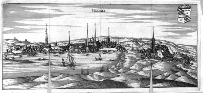
civitates orbis terrarum. urbium praecipuarum totius mundi. liber quartus
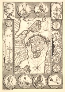
maps of stockholm by braun & hogenberg
maps in the rijksmuseum amsterdam
lucas janszoon waghenaer
drawings by louis jean desprez
drawings in musée carnavalet
1 - 99 of 99
/ 1