Log in
All resources
Create a design
778 Free Artworks of 1870 Maps
maps in the library of congress
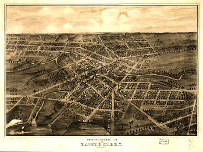
albert ruger
gemeente atlas van nederland - south holland
1860s maps of south holland
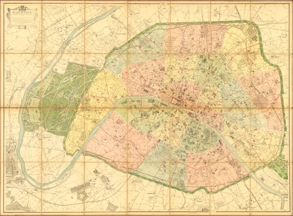
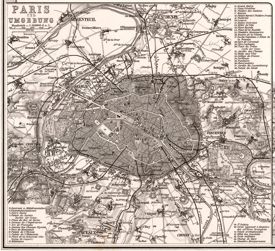
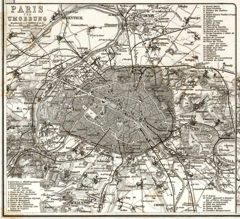
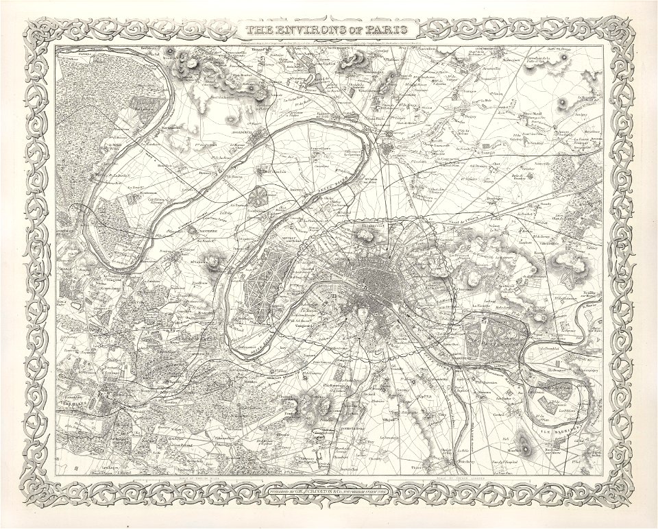
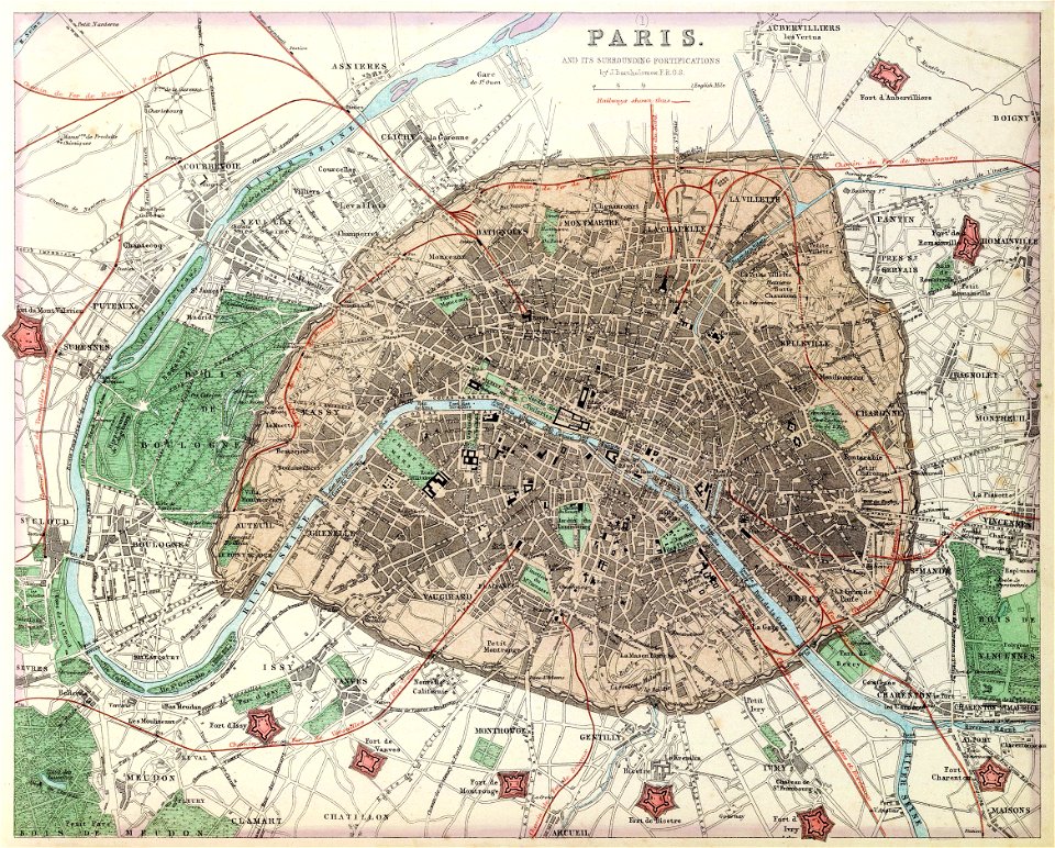
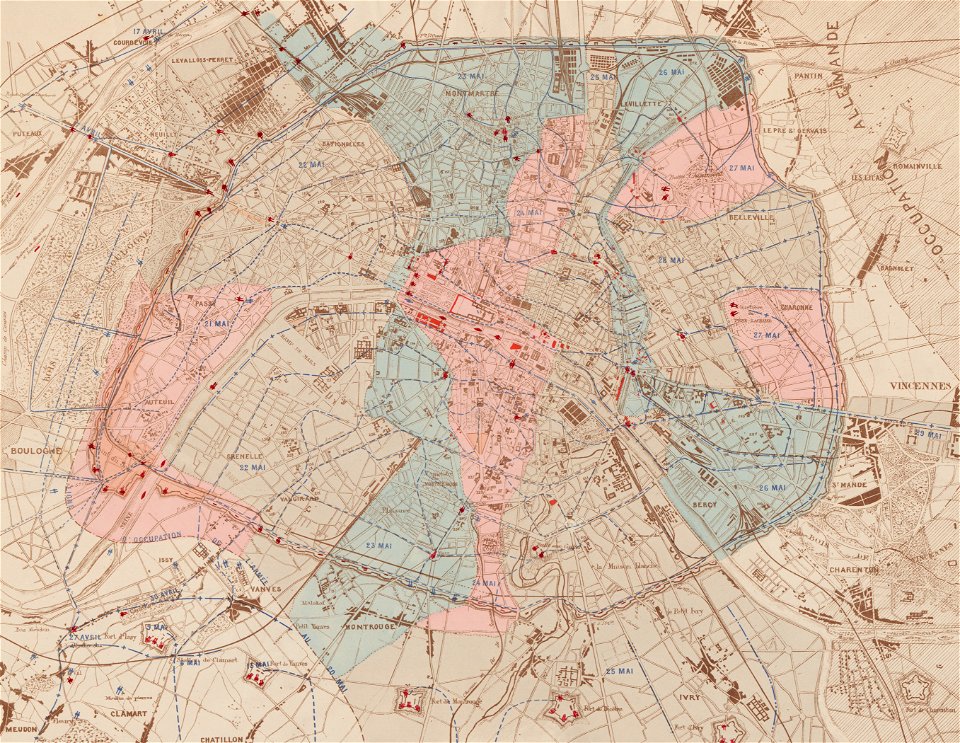
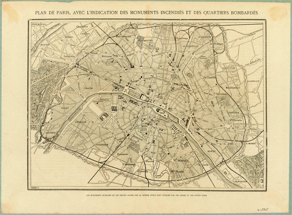
maps of paris in the 1870s
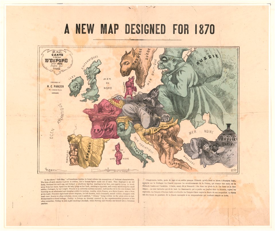
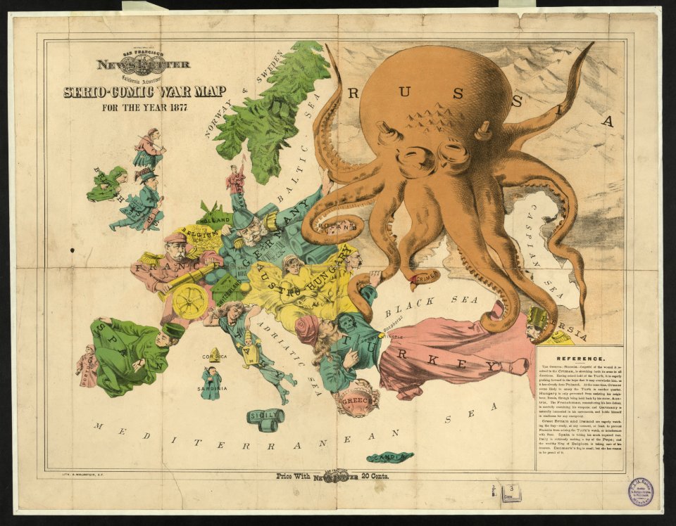
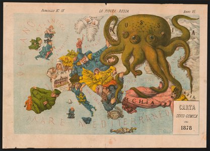
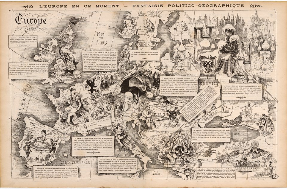
19th-century satirical maps
1870s maps of paris
maps of paris from the david rumsey historical map collection
19th-century maps of rotterdam
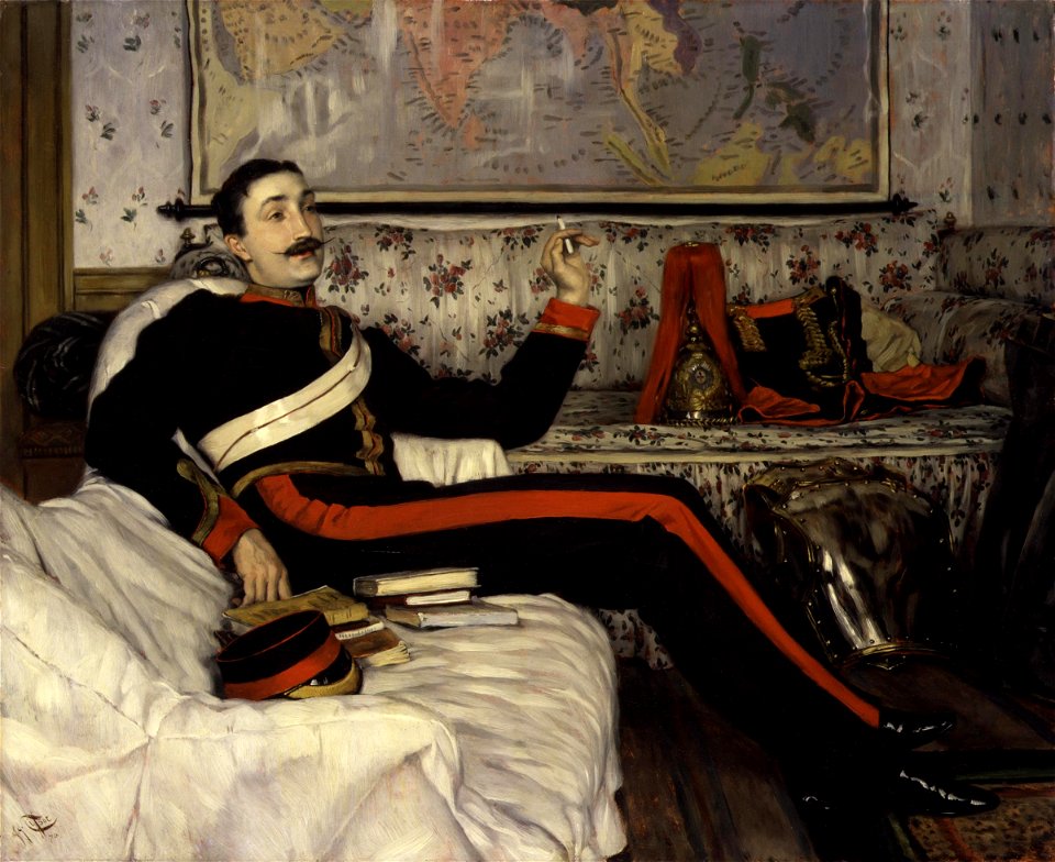
maps in portrait paintings
19th-century portrait paintings in the musée national du château de versailles
jean-adolphe beaucé
maps of paris from the norman b. leventhal map center
siege of paris, 1870-1871
1870s maps of paris
1870 maps
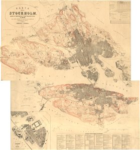
19th-century maps of stockholm
1870 maps
portrait paintings by élisabeth vigée-lebrun (italian royalty)
portraits of children by élisabeth vigée-lebrun
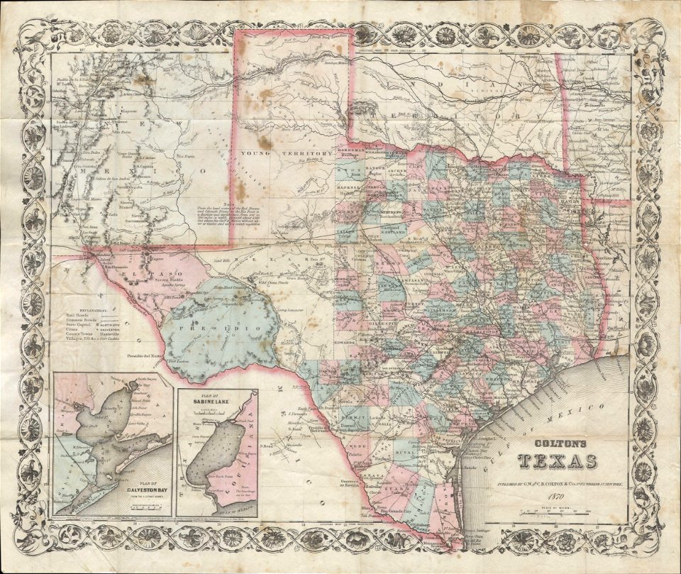
old maps of texas
1870 maps
19th-century satirical maps
1870 maps of europe
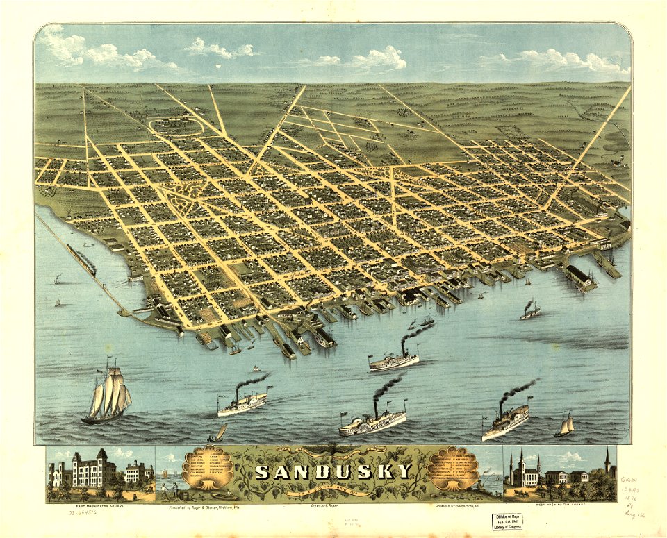
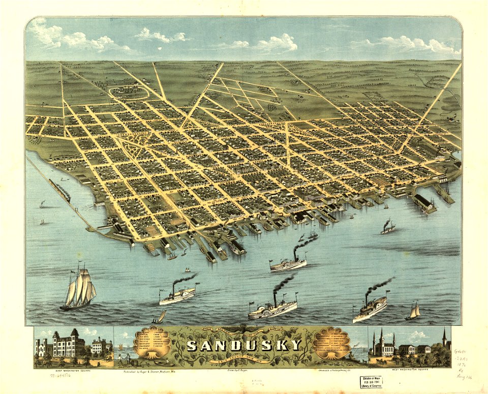
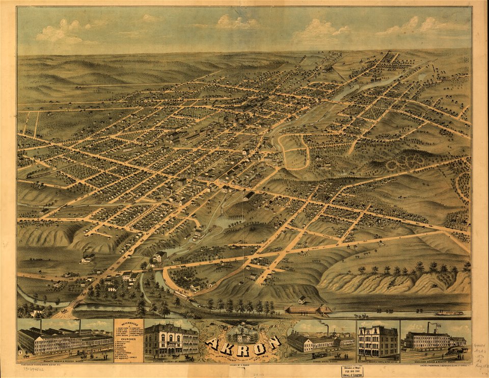
akron
ohio
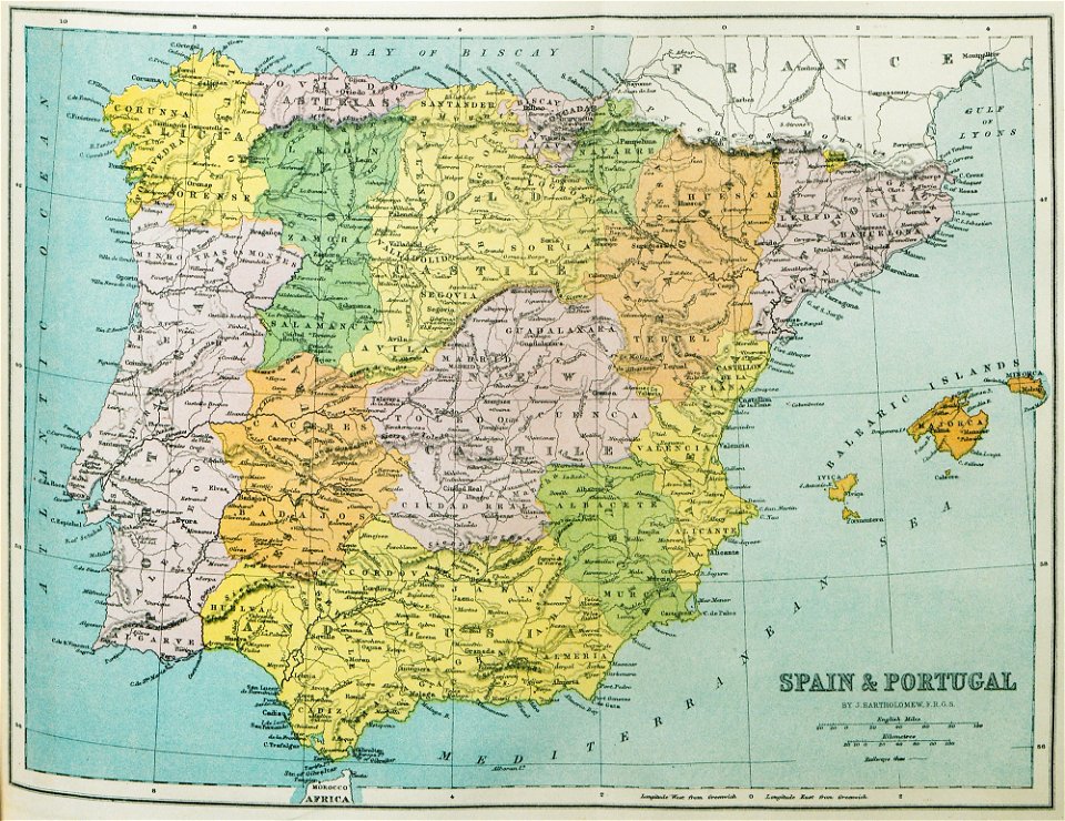
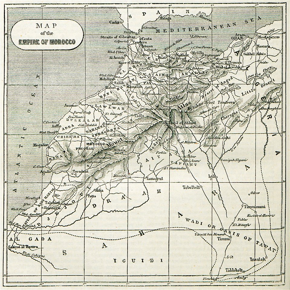
old maps of the iberian peninsula
1870 in spain
maps in the library of congress
ohio
maps in the library of congress
ohio
maps of paris from the david rumsey historical map collection
1873 in paris
maps in the library of congress
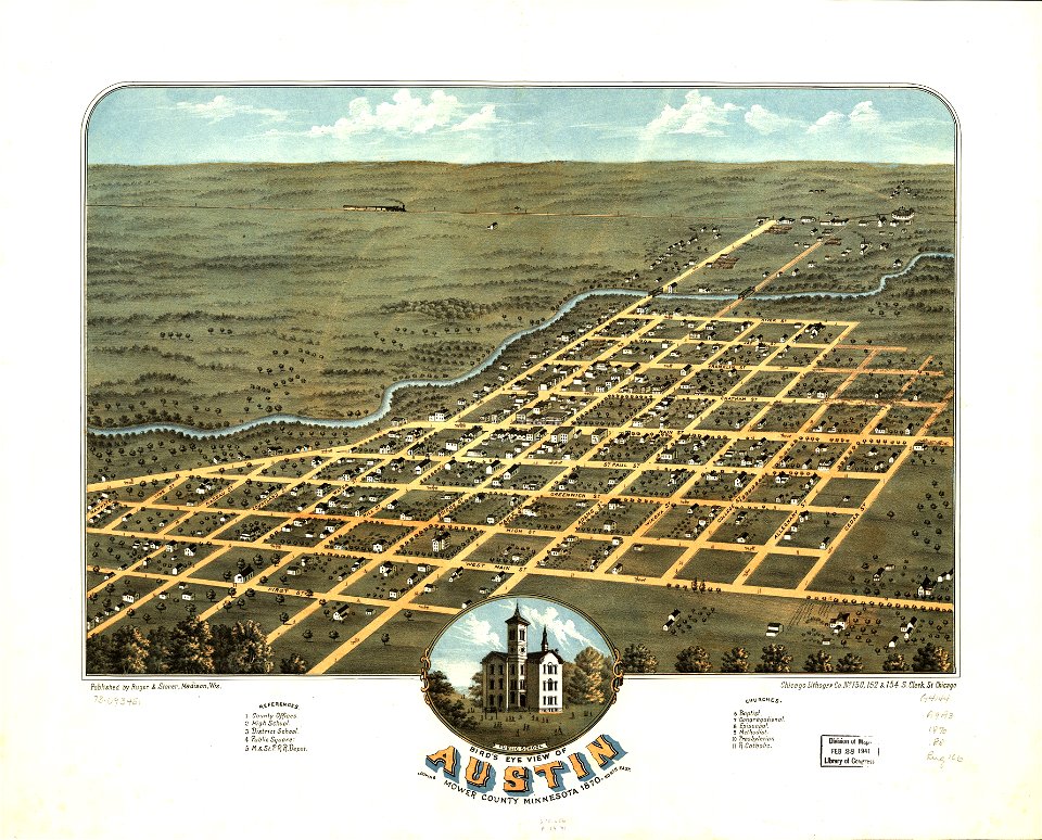
albert ruger
maps in the library of congress
albert ruger
old maps of france
1873 in paris
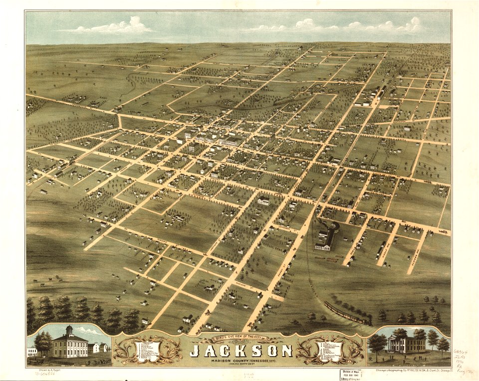
maps in the library of congress
albert ruger
maps in the library of congress
albert ruger
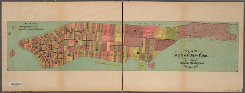
manual of the corporation of the city of new york (1870)
new york city
1870s maps of australia
1879 maps
maps in the library of congress
albert ruger
maps in the library of congress
albert ruger
maps in the library of congress
albert ruger
1874 in paris
1874 maps
maps in the library of congress
albert ruger
maps in the library of congress
albert ruger
maps of paris from the david rumsey historical map collection
1872 maps
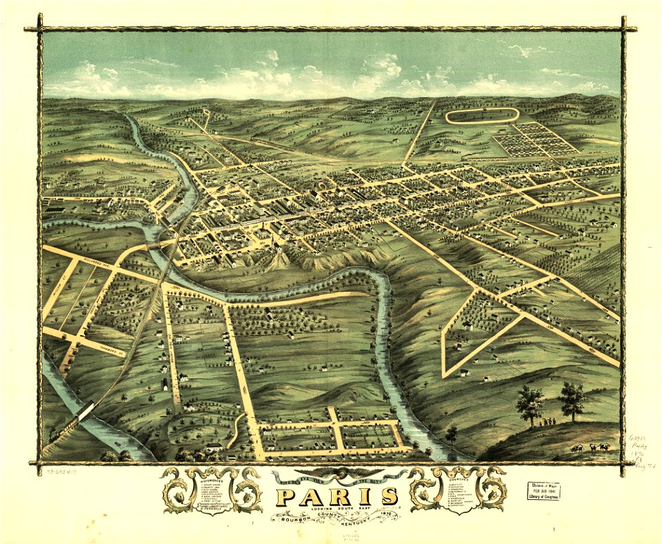
kentucky
paris
kentucky
paris
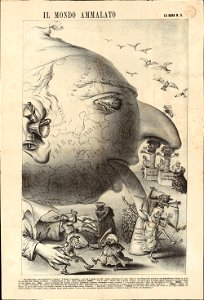
maps with human or animal shapes
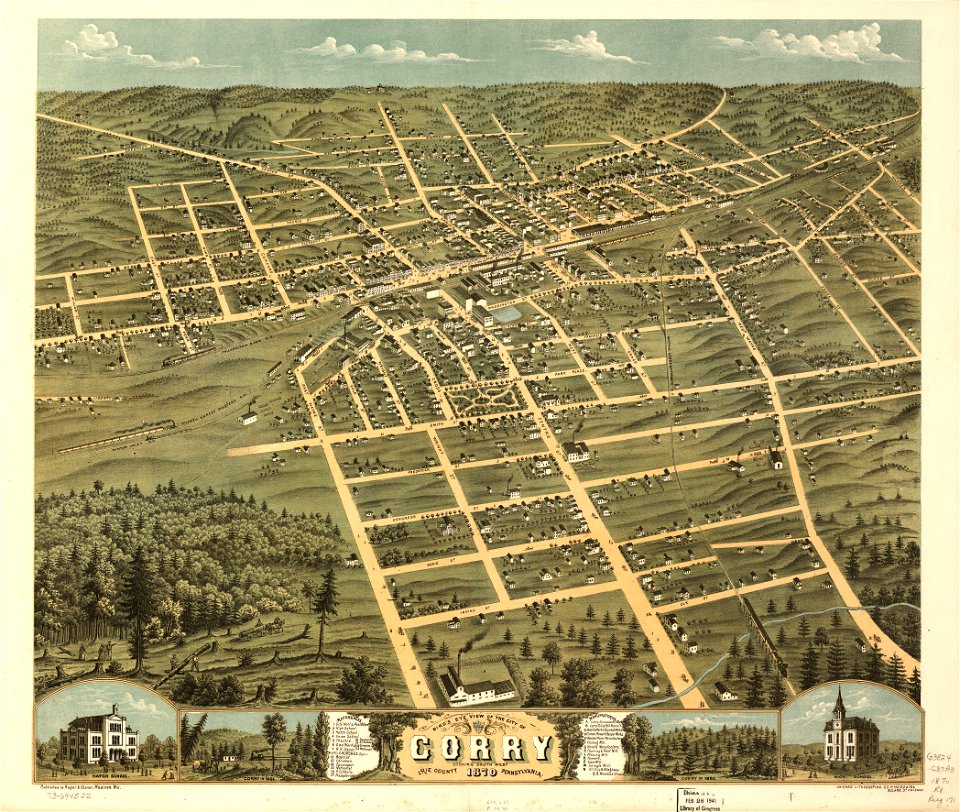
maps in the library of congress
pennsylvania
maps in the library of congress
pennsylvania
maps in the library of congress
pennsylvania
maps in the library of congress
pennsylvania
english-language maps
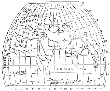
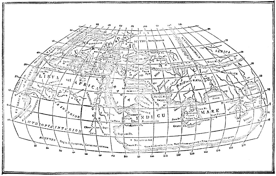
ptolemaic world maps
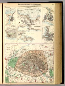
port of cherbourg
france
19th-century satirical maps
europe in the 1870s
1870s maps of the world
latin-language maps
19th-century satirical maps
1870s maps of the world
maps in the library of congress
albert ruger
maps in the library of congress
albert ruger
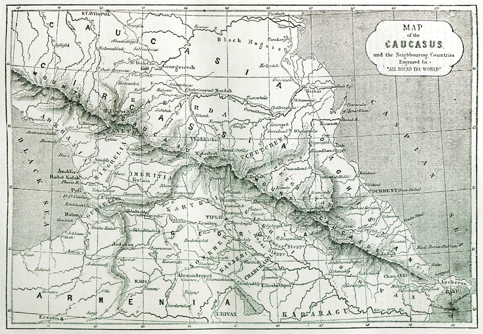
travels and adventures in all parts of the globe (1870)
all round the world: an illustrated record of voyages
travels and adventures in all parts of the globe (1870)
all round the world: an illustrated record of voyages
old maps of bremen (state)
bremen in the 1870s
maps of paris in the 1870s
1871 in paris
maps of paris in the 1870s
1871 in paris
old maps of south africa
boer
ukiyo-e by unknown artists
1870s maps of the world
jean-baptiste martenot
1875 maps
liverpool
debunking
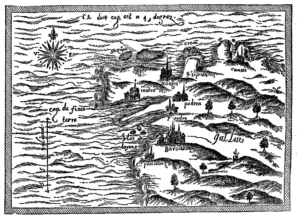
maps by samuel de champlain
old maps of galicia (spain)
19th-century satirical maps
europe in the 1870s
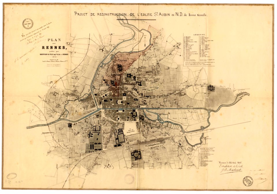
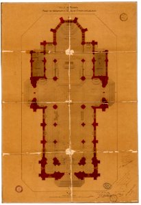
plans of churches in france
1875 maps
plans of churches in france
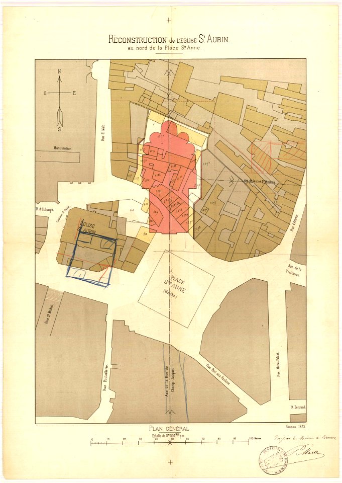
1873 in bretagne
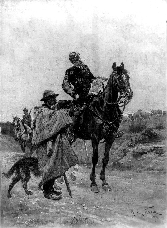
1870s paintings from france
1876 paintings
drawings by samuel de champlain
old maps of galicia (spain)
chromolithograph
new york city
chromolithograph
new york city
torquato tasso in art
italian-language maps
portraits with cigarette or cigar
london
franco-prussian war
prussia
portraits with cigarette or cigar
london
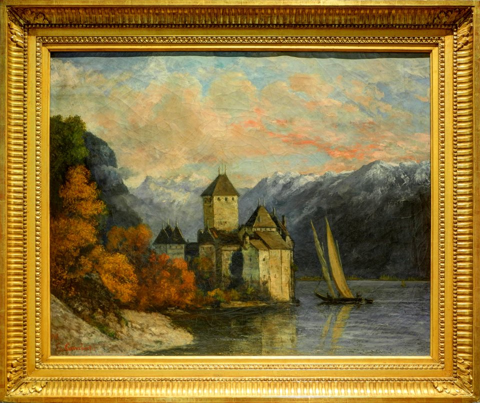
1870s paintings by gustave courbet
paintings of château de chillon
adriaan justus enschedé
old maps of haarlem
old cartoon maps of europe
1870 cartoons
bird's-eye views of paris
engravings of paris
historical maps of ethnic groups in romania
nouvelle géographie universelle
maps from the earth and its inhabitants, vol. vii
maps indicating exploration
old maps of the père-lachaise cemetery
romanticism
rail transport maps of hamburg
berliner bahnhof (hamburg)
gemeente atlas van nederland - south holland
maps of peursum
maps in the library of congress
1877 in ohio
maps of waterways in the netherlands
maps of nieuwe merwede
gemeente atlas van nederland - groningen
maps of winschoten
maps in the library of congress
1870 cartoons
gemeente atlas van nederland - south holland
1860s maps of south holland
maps from the mechanical curator collection available to georeference
maps from the mechanical curator collection
gemeente atlas van nederland - south holland
maps of maassluis
gemeente atlas van nederland - north holland
19th-century maps of amsterdam
gemeente atlas van nederland - south holland
1860s maps of south holland
gemeente atlas van nederland - south holland
old maps of katwijk, south holland
maps from the mechanical curator collection available to georeference
maps from the mechanical curator collection
gemeente atlas van nederland - south holland
maps of wateringen
maps from the earth and its inhabitants, vol. xvi
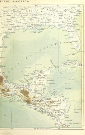
1870s maps of mexico
gemeente atlas van nederland - south holland
19th-century maps of rotterdam
gemeente atlas van nederland - south holland
1860s maps of south holland
gemeente atlas van nederland - south holland
19th-century maps of rotterdam
den danske hærs historie til nutiden og den norske hærs historie indtil 1814
maps from the mechanical curator collection
gemeente atlas van nederland - south holland
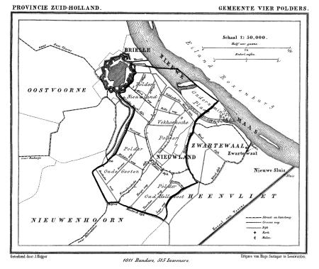
old maps of brielle
gemeente atlas van nederland - groningen
maps of appingedam
gemeente atlas van nederland - south holland
1860s maps of south holland
gemeente atlas van nederland - south holland
maps of 's-gravenzande
maps from the mechanical curator collection available to georeference
maps from the mechanical curator collection
gemeente atlas van nederland - south holland
maps of hellevoetsluis
gemeente atlas van nederland - north holland
old maps of beverwijk
gemeente atlas van nederland - south holland
old maps of gorinchem
gemeente atlas van nederland - north holland
maps of haarlemmermeer
gemeente atlas van nederland - south holland
old maps of dordrecht
gemeente atlas van nederland - south holland
1860s maps of south holland
gemeente atlas van nederland - south holland
1860s maps of south holland
gemeente atlas van nederland - south holland
19th-century maps of rotterdam
1 - 100 of 778
Next page
/ 8