Log in
All resources
Create a design
217 Free Artworks of Maps Of Scotland
old maps of scotland
bibliothèque nationale de france
third voyage of willem barentsz
16th-century maps of the arctic
history of dutch sea fisheries
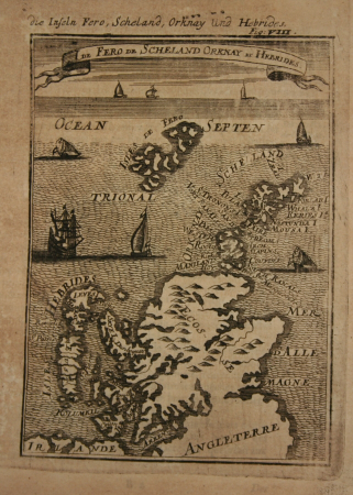
old maps of spitsbergen
old maps of scandinavia
maps of novaya zemlya
old maps of the arctic
old maps of the white sea
third voyage of willem barentsz
16th-century maps of the arctic
third voyage of willem barentsz
history of dutch sea fisheries
third voyage of willem barentsz
history of dutch sea fisheries
third voyage of willem barentsz
16th-century maps of the arctic
third voyage of willem barentsz
16th-century maps of the arctic
the voyage of the vega round asia and europe
third voyage of willem barentsz
overwintering on nova zembla by willem barentsz, 1596-1597
maps in the rijksmuseum amsterdam
overwintering on nova zembla by willem barentsz, 1596-1597
maps in the rijksmuseum amsterdam
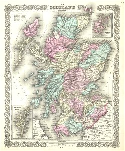
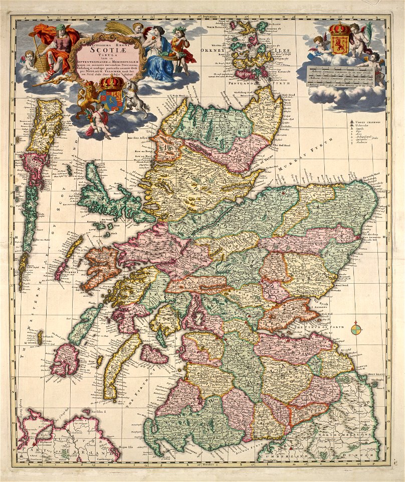
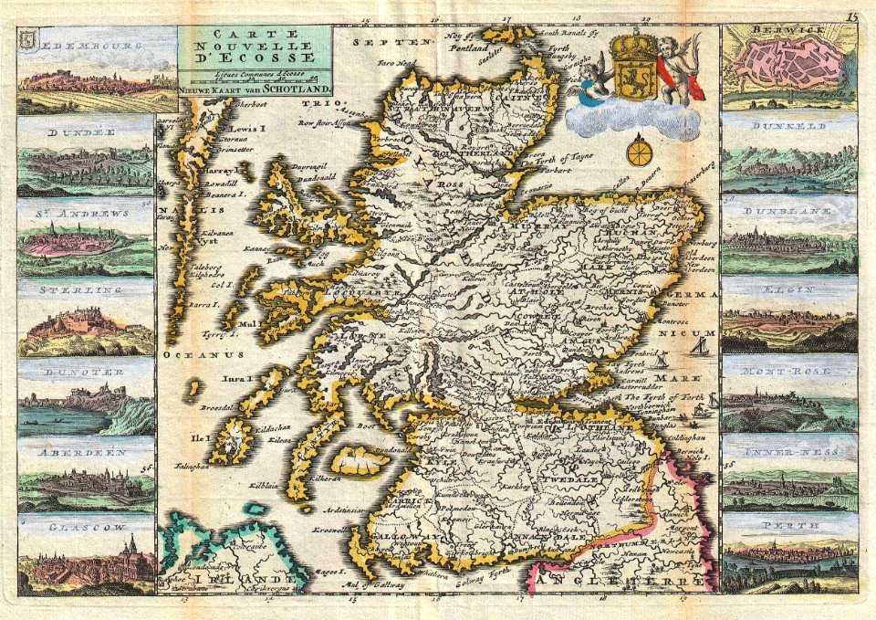
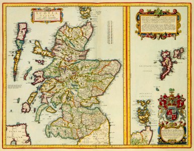
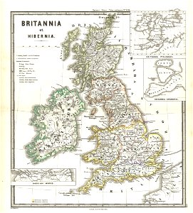
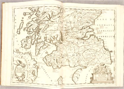
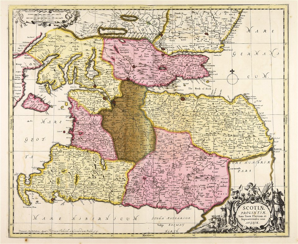
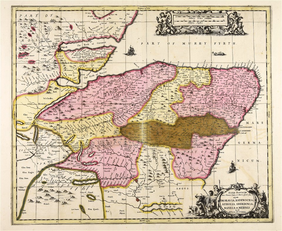
maps of traditional counties of scotland
old maps of scotland
scotland in the 17th century
history of scotland
old maps of scotland
maps by john thomson
media in the houghton library
harvard university
nicolaes visscher ii
1689 maps
scotland in the early modern period
maps of battles
latin-language maps
johannes ratelband
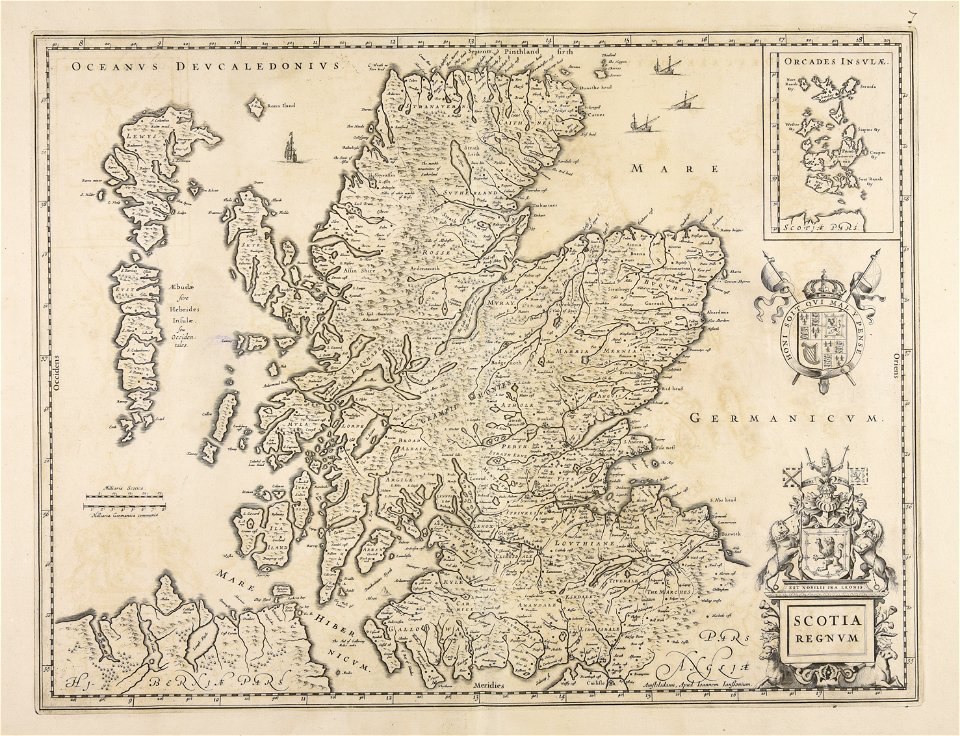
islands of scotland
maps of scotland
miniature speed atlas (1627) pieter van den keere
pieter van der keere
miniature speed atlas (1627) pieter van den keere
pieter van der keere
miniature speed atlas (1627) pieter van den keere
pieter van der keere
national museums of scotland
jean preudhomme
volcanic rock
isle of mull
joan blaeu
scotland
manuscripts in the houghton library
harvard university
vintage
maps
history of scotland
victorian era
maps by willem and johannes blaeu
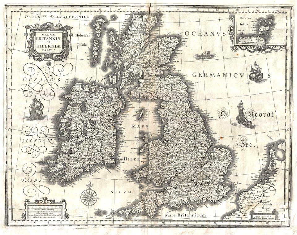
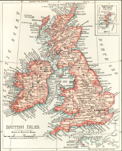
old maps of the british isles
scotland
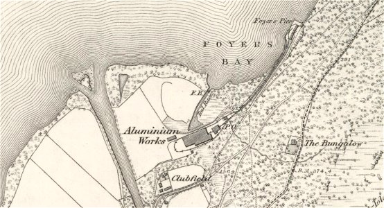
foyer
old maps of the british isles
karl spruner von merz
maps
sea
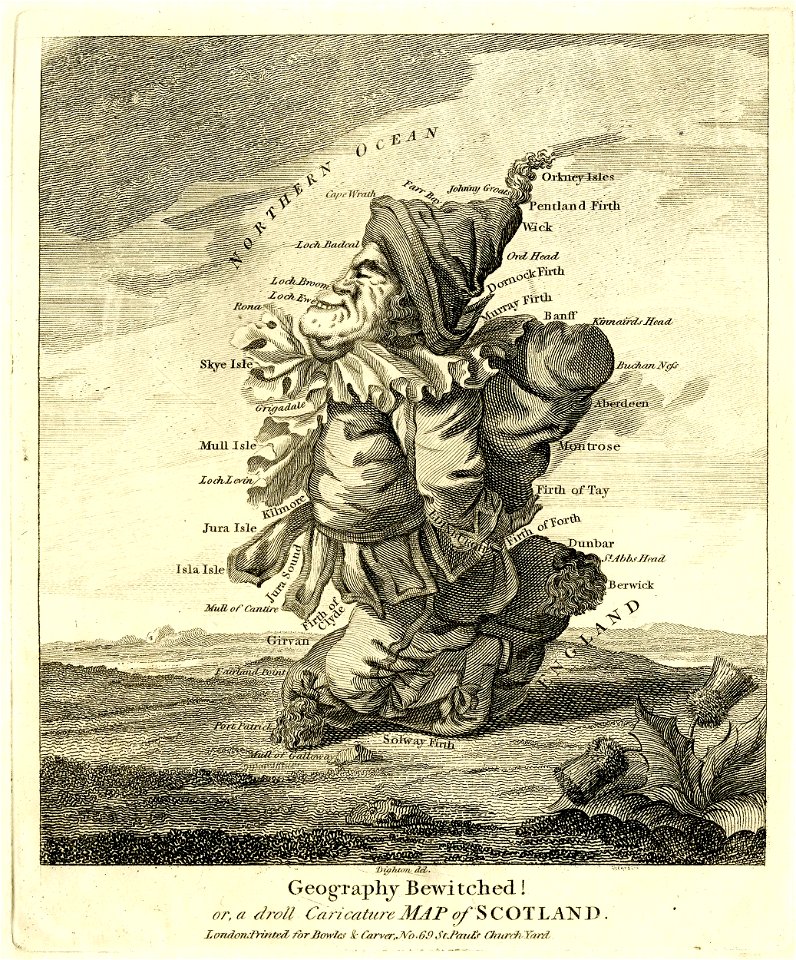
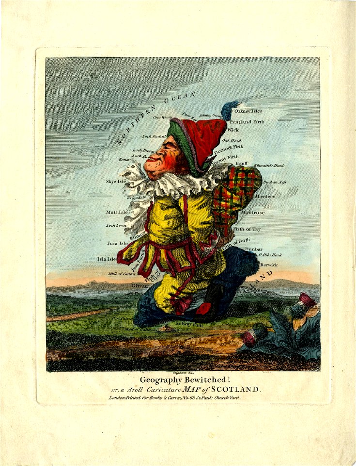
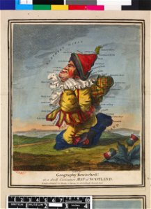
satirical prints in the british museum
satirical prints in the british museum
carta marina (details)
satirical prints in the british museum
atlantis magni tomus secundus (biblioteca comunale di trento)
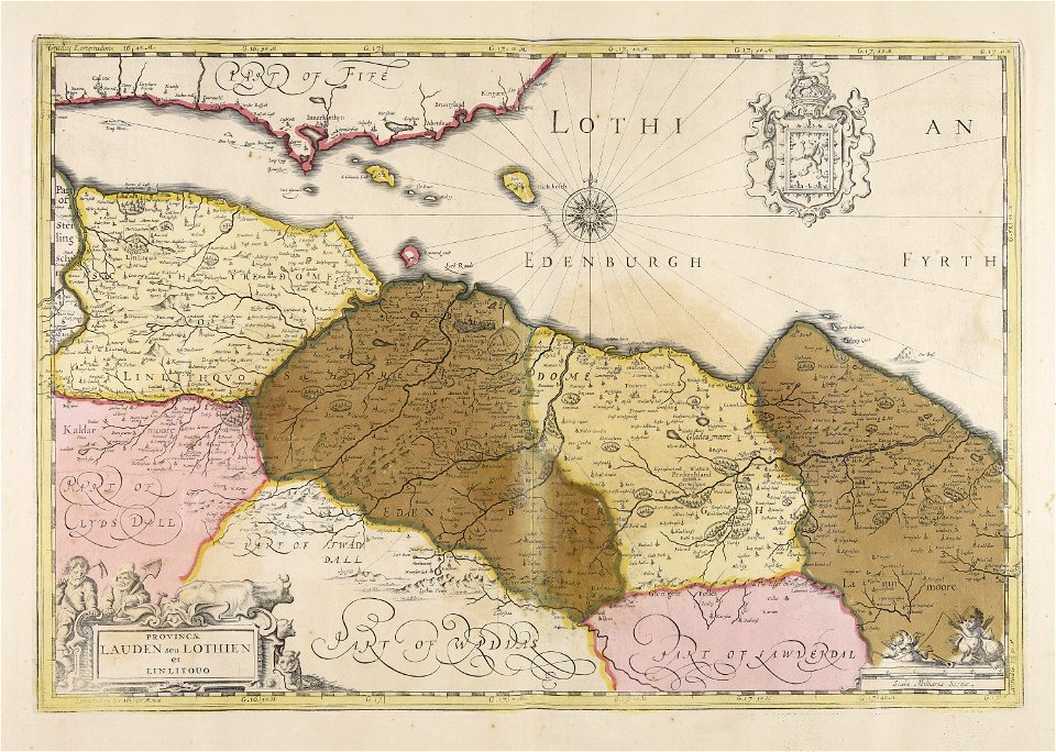
old maps of lothian
maps made in the 17th century
jan janssonius
atlante veneto (raremaps.com) volume 2
old maps of scotland
atlante veneto (raremaps.com) volume 2
old maps of scotland
old maps of scotland
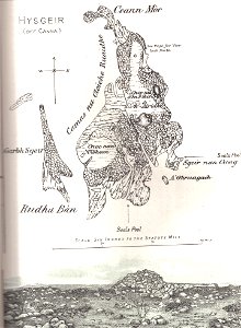
hyskeir
maps made in the 17th century
gerard valck
gerard valck
scotland
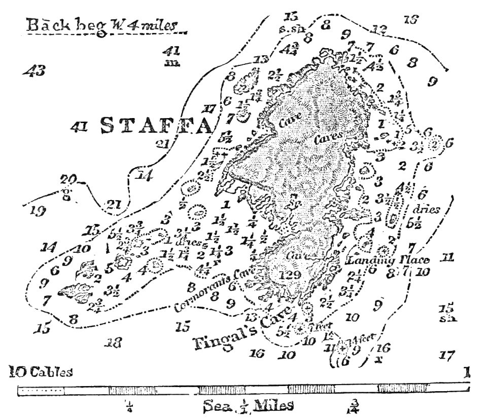
fingal's cave
1883 maps
drawings and watercolours of the royal museums greenwich
printing
coats of arms of scotland
hatched coats of arms
portrait paintings of men by george romney
rococo
english society
somerset
portrait paintings of standing men with left hand on hip
18th-century portrait paintings in the united kingdom
1900 maps of russia
1900 maps of china
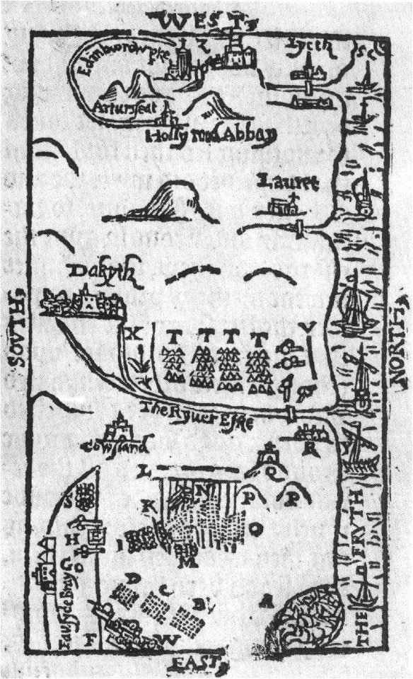
old maps of edinburgh
maps by john rocque
maps of edinburgh by braun & hogenberg
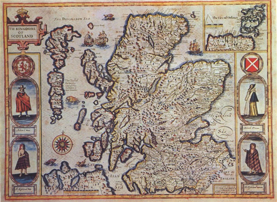
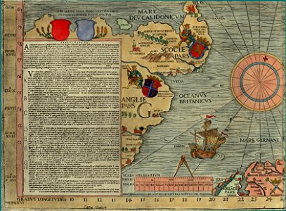
16th-century maps of scotland
john rocque's 1746 map of london
northumberland house
maps by john cary
1801 maps
the gazetteer of scotland (1838)
william home lizars
wars of the united kingdom
william wallace
blaeu atlas of scotland 1654
coats of arms on maps
maps by willem and johannes blaeu
robert gordon of straloch
old maps of edinburgh
history of edinburgh
maps of the history of scotland
wars of the united kingdom
maps of edinburgh by braun & hogenberg
18th-century maps of scotland
admiralty charts region b: england wales ireland english channel southern north sea
admiralty charts 1801-2000
boreray, st kilda
maps of st kilda
description de l'universe
1680s maps of scotland
the gazetteer of scotland (1838)
edinburgh in art
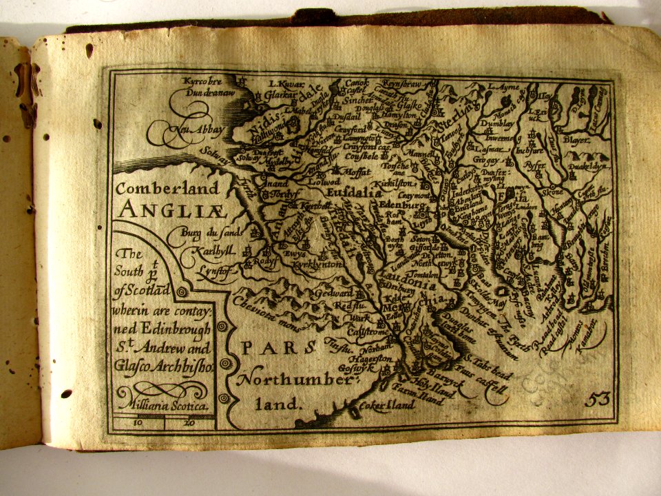
miniature speed atlas (1627) pieter van den keere
maps of scotland by john speed
old maps of great britain
1250s maps
18th-century maps of edinburgh-shire
maps of scotland by herman moll
maps in the national library of scotland
blaeu atlas of scotland 1654
le neptune francois
charles pène 8th
maps from the mechanical curator collection available to georeference
maps from the mechanical curator collection
maps of st kilda
norman heathcote
ordnance survey 1:25000 maps (full sheets)
uphall, west lothian
wały jagiellońskie street in gdańsk
maps of gdańsk by braun & hogenberg
robert gordon of straloch
1650s maps of scotland
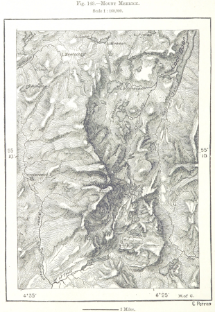
maps from the earth and its inhabitants, vol. iv
topographic maps of scotland
maps by thomas kitchin
old maps of scotland
atlas maior, vol 6 (scotland and ireland) - joan blaeu, 1667 - bl 114.h(star).6
1667 maps
atlas maior, vol 6 (scotland and ireland) - joan blaeu, 1667 - bl 114.h(star).6
1667 maps
images of places from encyclopædia britannica
old maps of edinburgh
norman heathcote
maps of st kilda
maps from the mechanical curator collection available to georeference
maps from the mechanical curator collection
john spilsbury
puzzle maps
images of places from encyclopædia britannica
old maps of glasgow
maps of the british isles by gerardus mercator
maps by hendrik hondius the younger
maps from the earth and its inhabitants, vol. iv
maps of lewis, scotland
maps by willem and johannes blaeu
robert gordon of straloch
ordnance survey 1:25000 maps (full sheets)
maps of linlithgow
description de l'universe
1680s maps of scotland
maps from the earth and its inhabitants, vol. iv
topographic maps of scotland
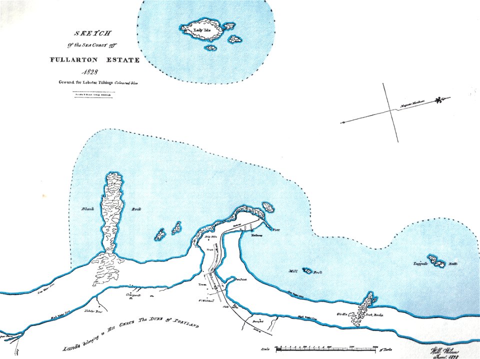
maps of the firth of forth
old maps of fife
admiralty charts region c: scotland
admiralty charts 1801-2000
atlas maior, vol 6 (scotland and ireland) - joan blaeu, 1667 - bl 114.h(star).6
1667 maps
maps of edinburgh by braun & hogenberg
18th-century maps of scotland
maps from the earth and its inhabitants, vol. iv
topographic maps of scotland
description de l'universe
old maps of scotland
maps of edinburgh by braun & hogenberg
18th-century maps of scotland
robert gordon of straloch
old maps of sutherland
blaeu atlas of scotland 1654
timothy pont
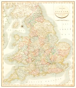
cary's new itinerary (1815)
1810s maps of england
maps from the earth and its inhabitants, vol. iv
glenroy, scotland
miniature speed atlas (1627) pieter van den keere
old county maps of lincolnshire
17th-century maps of scotland
maps of islay
1 - 100 of 217
Next page
/ 3


![Scotia antiqua, qualis priscis temporibus, Romanis praesertim, cognita fuit quam in lucem eruere conabatur / R. Gordonius a Straloch... [1653], 1654](https://cdn.creazilla.com/illustrations/10000806371/scotia-antiqua-qualis-priscis-temporibus-romanis-praesertim-cognita-fuit-quam-in-lucem-eruere-conabatur-r-gordonius-a-straloch-1653-1654-sm.jpg)