Log in
All resources
Create a design
8 Free Artworks of Timothy Pont
maps of lothian by timothy pont
bibliothèque nationale de france
blaeu atlas of scotland 1654
cuninghame, topographized by timothy pont (1876)
blaeu atlas of scotland 1654
timothy pont
cuninghame, topographized by timothy pont (1876)
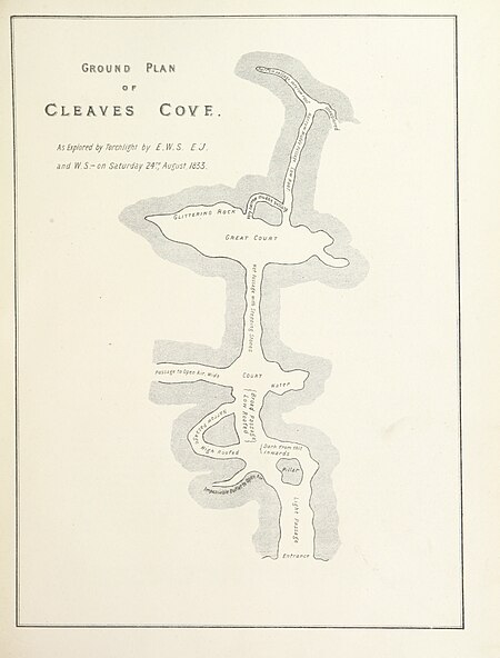
maps of caves in the united kingdom
cuninghame, topographized by timothy pont (1876)
1870s maps of scotland
blaeu atlas of scotland 1654
coats of arms on maps
atlas sive cosmographicae (gerardus mercator, 1630)
maps of lothian by timothy pont
17th-century maps of scotland
maps of islay
bibliothèque nationale de france
maps of lothian by timothy pont
18th-century maps of edinburgh-shire
maps of scotland by herman moll
1 - 8 of 8
/ 1


![Provincae Lauden seu Lothien et Linlitouo / [Mercator], 1646](https://cdn.creazilla.com/illustrations/10000737732/provincae-lauden-seu-lothien-et-linlitouo-mercator-1646-md.jpg)
