Log in
All resources
Create a design
20 Free Artworks of Maps Of Roermond
old maps of roermond
rijksmuseum
dutch 17th-century prints in the rijksmuseum amsterdam
maps of arnhem by braun & hogenberg
maps of venlo by braun & hogenberg
maps of roermond by braun & hogenberg
maps of geldern by braun & hogenberg
maps in the rijksmuseum amsterdam
etching print and engraving on paper
symbols of roermond
roermond in the 17th century
old maps of roermond
old maps of roermond
upper guelders
engravings by frans hogenberg
maps of roermond
maps by willem and johannes blaeu
old maps of roermond
dutch 17th-century prints in the rijksmuseum amsterdam
old maps of roermond
dutch 17th-century prints in the rijksmuseum amsterdam
old maps of roermond
dutch 18th-century prints in the rijksmuseum amsterdam
symbols of roermond
maps of arnhem by braun & hogenberg
maps of venlo by braun & hogenberg
dutch 18th-century prints in the rijksmuseum amsterdam
old maps of roermond
roermond municipal art collection
henry luyten
maps by christian sgrothen
maps of rur
vrbivm praecipvarvm totivs mvndi liber tertivs (1616)
maps of venlo by braun & hogenberg
maps by alexis-hubert jaillot
old maps of duchy of cleves
maps by alexis-hubert jaillot
old maps of duchy of cleves
maps in the library of congress
civitates orbis terrarvm
1649 in maastricht
atlas beudeker
dutch 17th-century prints in the rijksmuseum amsterdam
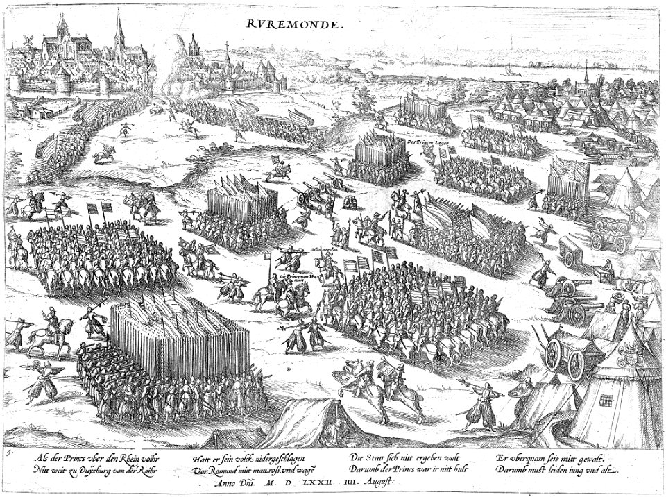
siege by frederick henry
civitates orbis terrarum. contrafactur und beschreibung von den vornembsten stetten der welt. liber tertius
maps of arnhem by braun & hogenberg
maps in the rijksmuseum amsterdam
maps by carolus allard
prints by claes jansz. visscher (ii) in the rijksmuseum amsterdam
maps in the rijksmuseum amsterdam
1 - 20 of 20
/ 1