Log in
All resources
Create a design
56 Free Artworks of Maps Of Paris In The 1880s
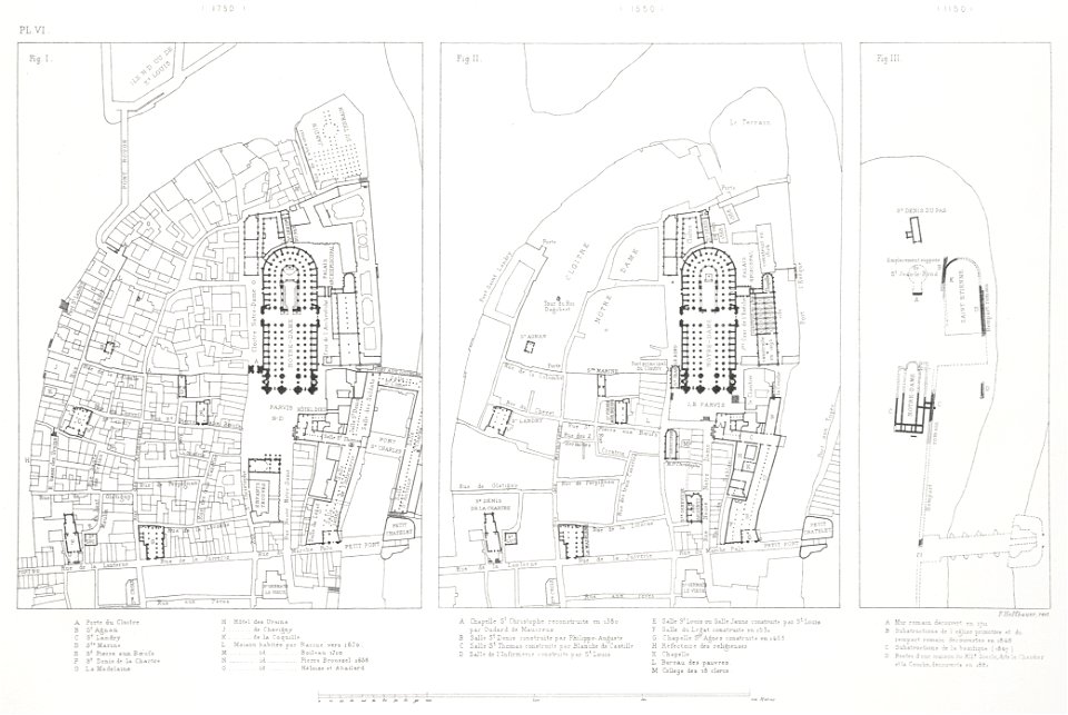
atlas des anciens plans de paris by imprimerie nationale, 1880 from bhvp
maps of paris from paris musées
maps of paris by paul dujardin
atlas des anciens plans de paris by imprimerie nationale, 1880 from the musée carnavalet
musée carnavalet
map of paris by jouvin de rochefort (boutier 112)
turgot map of paris, musée carnavalet
heliogravure
18th-century maps of paris
turgot map of paris, bibliothèque historique de la ville de paris
1880 maps of france
auguste logerot
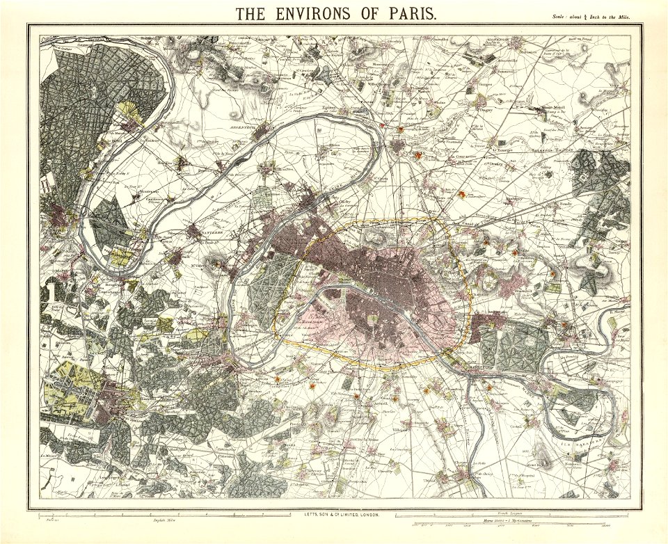
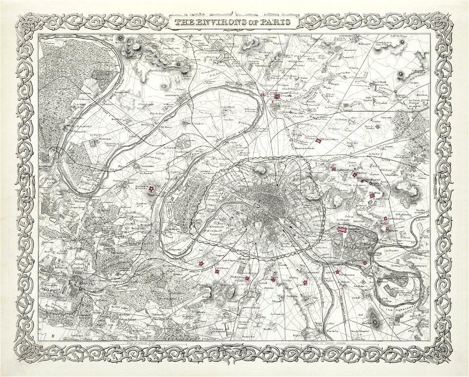
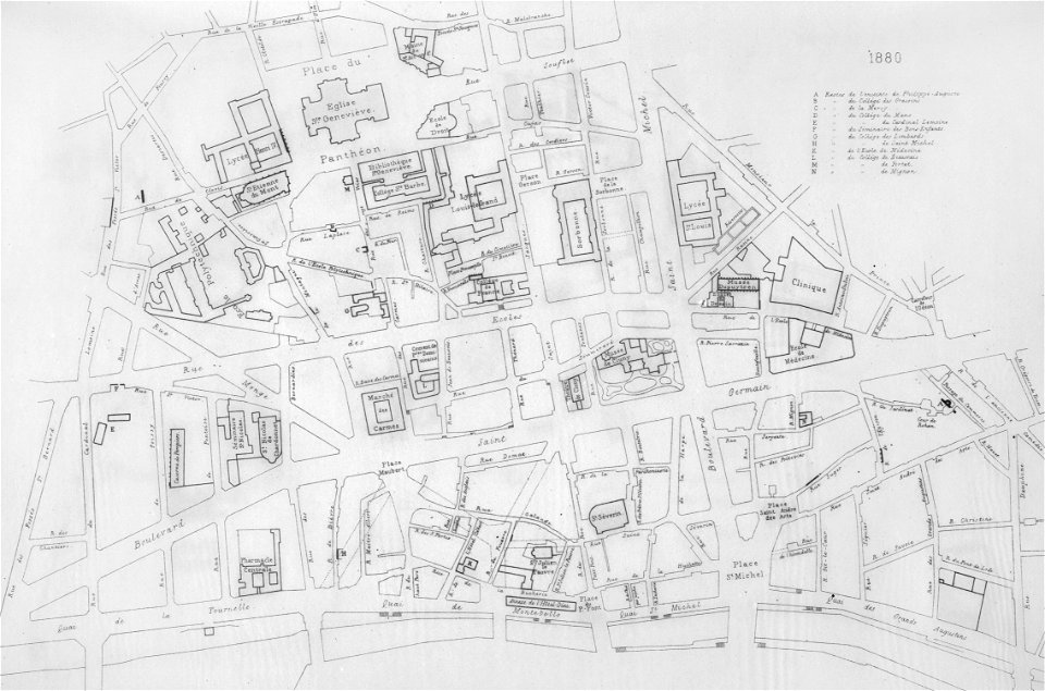
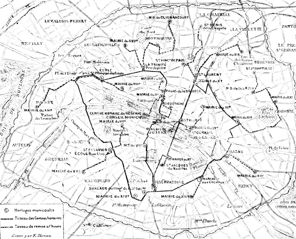
maps of paris in the 1880s
1883 in paris
1886 in paris
1886 maps
lithographs of paris
université de paris
1880s images of paris
1882 maps
paris in the 16th century
lithographs of paris
maps of paris from paris musées
plan de jaillot (1775)
maps of paris from paris musées
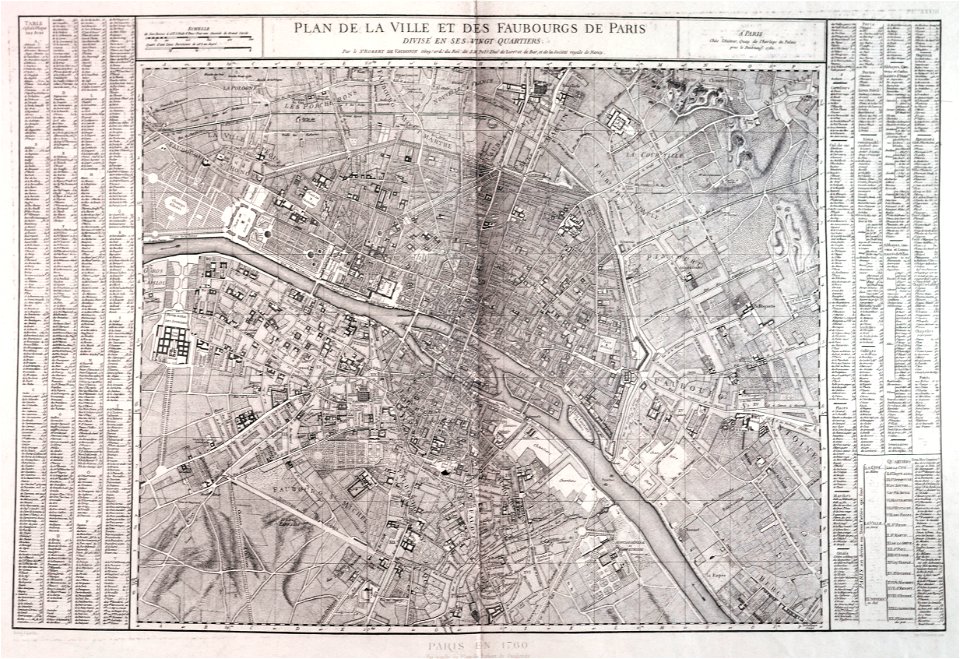
1760 in paris
maps of paris from bibliothèque nationale de france
old maps of the paris metro
turgot map of paris, musée carnavalet
maps of paris from paris musées
turgot map of paris, musée carnavalet
maps of paris from paris musées
turgot map of paris, musée carnavalet
maps of paris from paris musées
turgot map of paris, musée carnavalet
maps of paris from paris musées
maps of paris from paris musées
plan de turgot
atlas des anciens plans de paris by imprimerie nationale, 1880 from the musée carnavalet
maps of paris from paris musées
atlas des anciens plans de paris by imprimerie nationale, 1880 from the musée carnavalet
maps of paris from paris musées
maps of paris from paris musées
baroque
atlas des anciens plans de paris by imprimerie nationale, 1880 from the musée carnavalet
maps of paris from paris musées
maps of paris from paris musées
baroque
atlas des anciens plans de paris by imprimerie nationale, 1880 from bhvp
plan de roussel
atlas des anciens plans de paris by imprimerie nationale, 1880 from bhvp
map of paris by jouvin de rochefort (boutier 112)
atlas des anciens plans de paris by imprimerie nationale, 1880 from bhvp
proletarian literature
old maps of algiers
maps from gallica
atlas des anciens plans de paris by imprimerie nationale, 1880 from bhvp
maps of paris by braun & hogenberg
atlas des anciens plans de paris by imprimerie nationale, 1880 from bhvp
dheulland map of paris
atlas des anciens plans de paris by imprimerie nationale, 1880 from bhvp
18th-century maps of paris
atlas des anciens plans de paris by imprimerie nationale, 1880 from bhvp
map of paris by jouvin de rochefort (boutier 112)
atlas des anciens plans de paris by imprimerie nationale, 1880 from bhvp
map of paris by jouvin de rochefort (boutier 112)
maps from gallica
old maps of genoa
atlas des anciens plans de paris by imprimerie nationale, 1880 from bhvp
map of paris by françois quesnel
1880s maps of tunisia
maps from gallica
atlas des anciens plans de paris by imprimerie nationale, 1880 from bhvp
plan de roussel - partial files
atlas des anciens plans de paris by imprimerie nationale, 1880 from bhvp
map of paris by françois quesnel
atlas des anciens plans de paris by imprimerie nationale, 1880 from bhvp
map of paris by françois quesnel
atlas des anciens plans de paris by imprimerie nationale, 1880 from bhvp
plan de roussel - partial files
atlas des anciens plans de paris by imprimerie nationale, 1880 from bhvp
baroque
map of paris by jouvin de rochefort (boutier 112)
maps of paris by françois de la pointe
atlas des anciens plans de paris by imprimerie nationale, 1880 from bhvp
proletarian literature
atlas des anciens plans de paris by imprimerie nationale, 1880 from bhvp
dheulland map of paris
atlas des anciens plans de paris by imprimerie nationale, 1880 from bhvp
dheulland map of paris
atlas des anciens plans de paris by imprimerie nationale, 1880 from bhvp
baroque
atlas des anciens plans de paris by imprimerie nationale, 1880 from bhvp
plan de turgot
atlas des anciens plans de paris by imprimerie nationale, 1880 from bhvp
turgot map of paris, bibliothèque historique de la ville de paris
atlas des anciens plans de paris by imprimerie nationale, 1880 from bhvp
turgot map of paris, bibliothèque historique de la ville de paris
atlas des anciens plans de paris by imprimerie nationale, 1880 from bhvp
turgot map of paris, bibliothèque historique de la ville de paris
atlas des anciens plans de paris by imprimerie nationale, 1880 from bhvp
turgot map of paris, bibliothèque historique de la ville de paris
atlas des anciens plans de paris by imprimerie nationale, 1880 from bhvp
romanticism
engravings in musée carnavalet
plan de turgot
lutetia parisiorum urbs, toto orbe celeberrima notissimaque caput regni franciæ by sebastian münster
atlas des anciens plans de paris by imprimerie nationale, 1880 from bhvp
géographie du département d'ille-et-vilaine (1881)
19th-century maps of ille-et-vilaine
la palestine (1883, by chardin)
travel maps of palestine
nouveau cours d'instruction primaire de géographie (1886)
1880s maps of the americas
old maps of the franco-prussian war
alfred quesnay de beaurepaire
la hongrie de l'adriatique au danube. impressions de voyage (1883)
1880s maps of austria-hungary
la hongrie de l'adriatique au danube. impressions de voyage (1883)
1880s maps of austria-hungary
carte de l'afrique françoise par guillaume delisle (1726)
philippe buache
1 - 56 of 56
/ 1