Log in
All resources
Create a design
12 Free Artworks of Maps Of Loiret
bibliothèque nationale de france
old maps of loiret
joris hoefnagel
gerard valck
maps by pieter schenk (i)
atlantis magni tomus quartus (biblioteca comunale di trento)
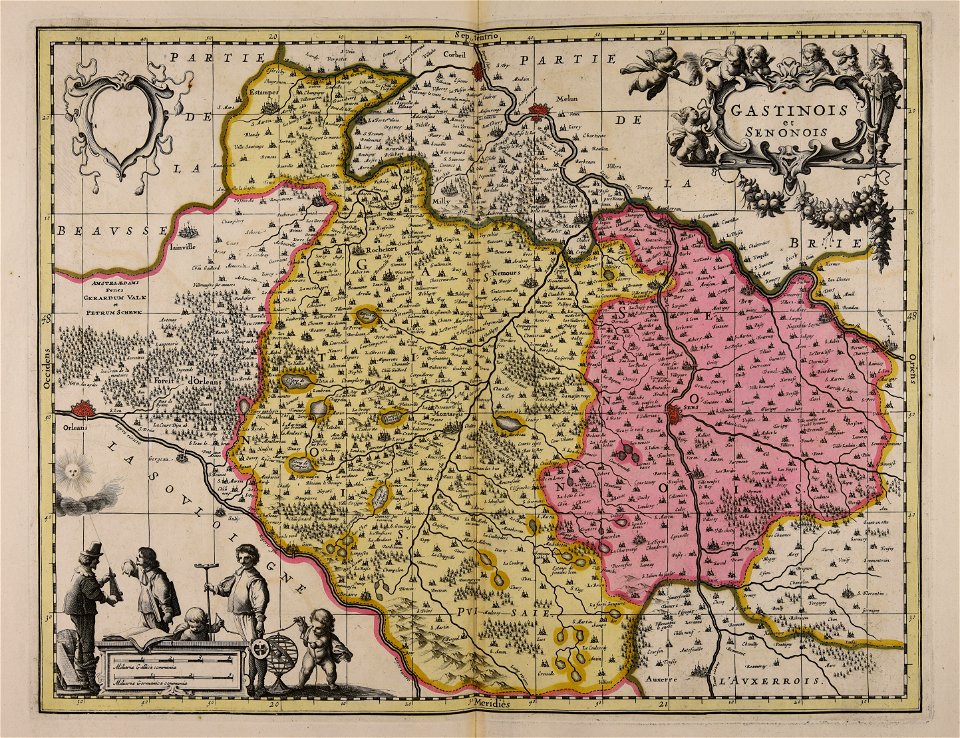
old maps of gâtinais and sénonais
maps by willem and johannes blaeu
maps of orléans by joris hoefnagel
maps of bourges by braun & hogenberg
frédéric-auguste laguillermie
coats of arms of orléans
maps made in the 17th century
gerard valck
maps of loiret
giens
cartes de franz schrader
1894 maps of france
17th-century maps of france
old maps of loiret
maps by willem and johannes blaeu
old maps of loiret
maps from géographie illustrée de la france et de ses colonies
maps of loiret
maps of bourges by braun & hogenberg
maps of orléans by joris hoefnagel
maps by willem and johannes blaeu
beausse
maps of bourges by braun & hogenberg
maps of orléans by joris hoefnagel
maps and topographical views by joris hoefnagel
maps of orléans by braun & hogenberg
maps of orléans by braun & hogenberg
bibliothèque nationale de france
1 - 12 of 12
/ 1


![Senonois, and the southern part of Champagne / [Johannes Blaeu], 1662](https://cdn.creazilla.com/illustrations/10000743635/senonois-and-the-southern-part-of-champagne-johannes-blaeu-1662-md.jpg)


