Log in
All resources
Create a design
13 Free Artworks of Maps Of Orléans By Braun & Hogenberg
joris hoefnagel
maps of bourges by braun & hogenberg
maps of orléans by joris hoefnagel
bibliothèque nationale de france
national library of poland
drawing
digital library of university of wroclaw
maps of bourges by braun & hogenberg
eran laor cartographic collection
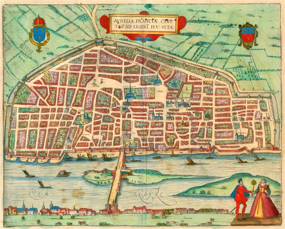
maps of orléans by braun & hogenberg
1682 maps of france
beschreibung der städt der welt - braun & hogenberg - btv1b52512111k
maps of orléans by joris hoefnagel
maps of orléans by braun & hogenberg
1581 maps of france
maps of bourges by braun & hogenberg
maps of orléans by joris hoefnagel
maps of bourges by braun & hogenberg
maps of orléans by joris hoefnagel
maps and topographical views by joris hoefnagel
maps of orléans by braun & hogenberg
maps of orléans by braun & hogenberg
bibliothèque nationale de france
de praecipvis totivs vniversi vrbibvs, liber secvndvs (1612)
maps of orléans by joris hoefnagel
de praecipvis totivs vniversi vrbibvs, liber secvndvs (1575)
maps of orléans by joris hoefnagel
civitates orbis terrarum. de praecipuis totius universi urbibus. liber secundus
maps of orléans by joris hoefnagel
maps in the library of congress
civitates orbis terrarvm
civitates orbis terrarum. contrafactur und beschreibung von den vornembsten stetten der welt. liber tertius
maps of orléans by braun & hogenberg
1 - 13 of 13
/ 1