Log in
All resources
Create a design
185 Free Artworks of Maps Of Israel
eran laor cartographic collection
national library of israel
jodocus hondius ii, nova totius terrarum orbis geographica ac hydrographica tabula, 1636
world map
old maps of israel
jodocus hondius ii
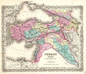
old maps of the middle east
henricus hondius ii, nova totius terrarum orbis geographica ac hydrographica tabula, 1630
henricus hondius ii
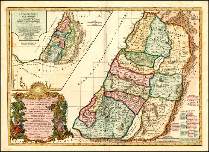
old maps of the tribes of israel
levante
sodom
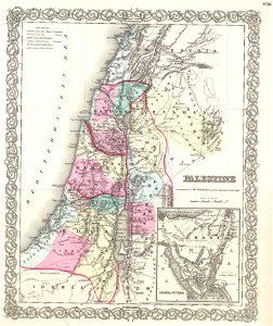
1850s maps of palestine
1850s maps of israel
1860s maps of palestine
1865 maps
illustration
maps
old maps of the middle east
maps of canaan
maps from the mechanical curator collection
1800s maps of palestine
old maps of the middle east
harvard university
maps by abraham ortelius
ships on maps
maps by willem and johannes blaeu
old maps of israel
maps by matthäus seutter
1744 maps
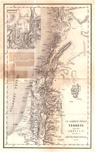
topographic maps of palestine
topographic maps of israel
maps of israel
józsef farkas
topographic maps of palestine
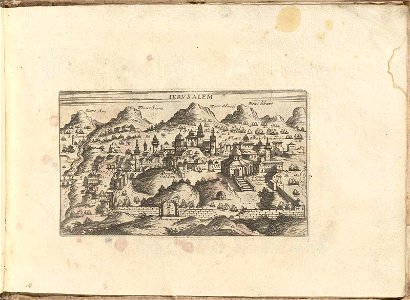
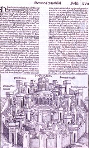
jerusalem
old maps of asia
1855 maps
charles françois delamarche
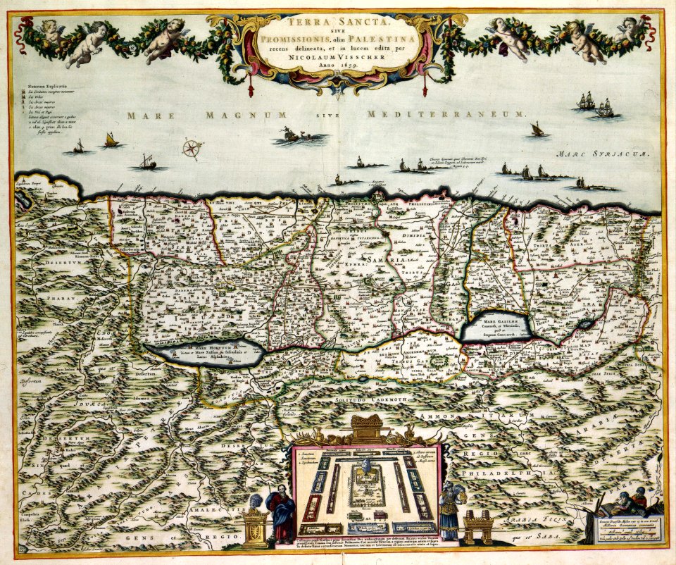
old maps of the holy land
16th century maps of the middle east
1590 maps of israel
old maps of asia
1855 maps
maps in the library of congress
old maps of israel
maps in the library of congress
old maps of israel
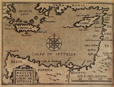
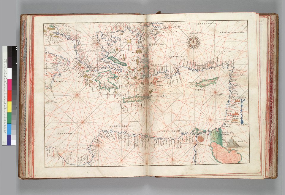
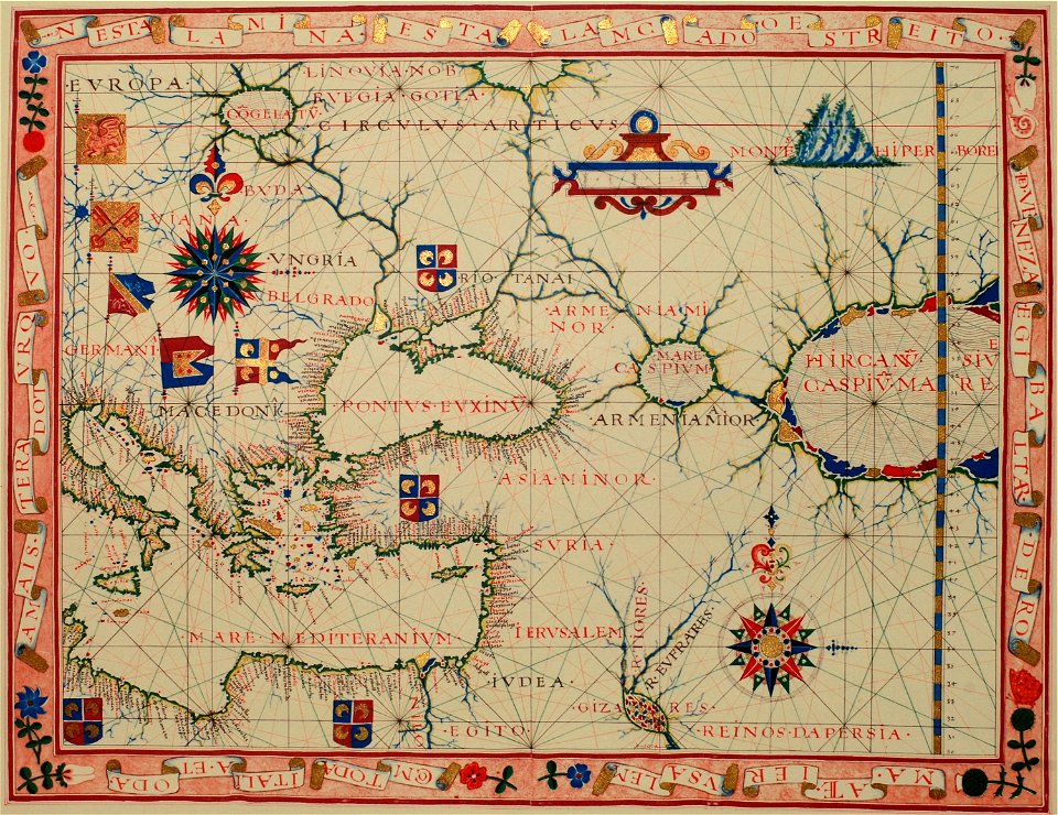
maps of the eastern mediterranean
jr
16th century maps of the middle east
1590 maps of israel
18th-century maps of the caucasus
old maps of the middle east
17th-century maps of the caucasus
old maps of the middle east
old maps of the middle east
1590 maps of iran
collections of the jewish museum (new york city)
old maps of israel
david rumsey historical map collection
old maps of the middle east
itinerarium hierosolymitanum et syriacum..., 1619
maps of the eastern mediterranean
david rumsey historical map collection
german-language maps
old maps of the holy land
old maps of israel
maps by willem and johannes blaeu
1650 maps
old maps of the middle east
assyrian people
19th-century maps of the caucasus
old maps of the middle east
old maps of the middle east
old maps of greece
old maps of the middle east
jr
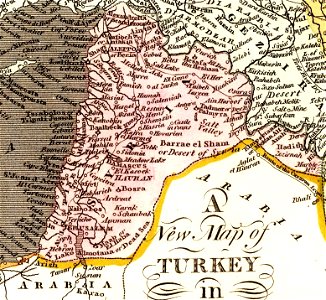
old maps of jordan
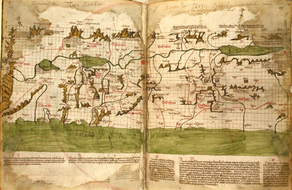
catalan atlas
maps with cartouches
old maps of israel
holy land
israelite
maps by willem and johannes blaeu
maps made in the 17th century
maps by willem and johannes blaeu
maps made in the 17th century
maps by willem and johannes blaeu
maps made in the 17th century
16th-century maps of the black sea
old maps of the middle east
maps in the amsterdam museum
maps in the amsterdam museum
maps in the amsterdam museum
maps in the amsterdam museum
maps of ceylon by petrus plancius
eran laor cartographic collection
old maps of the tribes of israel
guillaume sanson
maps of ancient israel by philippe de la rué
map of modern syria by philippe de la rué
eran laor cartographic collection
emanuel bowen
1840s maps of palestine
old maps of israel
eran laor cartographic collection
thomas starling
eran laor cartographic collection
emanuel bowen
eran laor cartographic collection
edward weller
eran laor cartographic collection
william hughes (geographer)
maps from the earth and its inhabitants, vol. x
19th-century maps of the sinai peninsula
eran laor cartographic collection
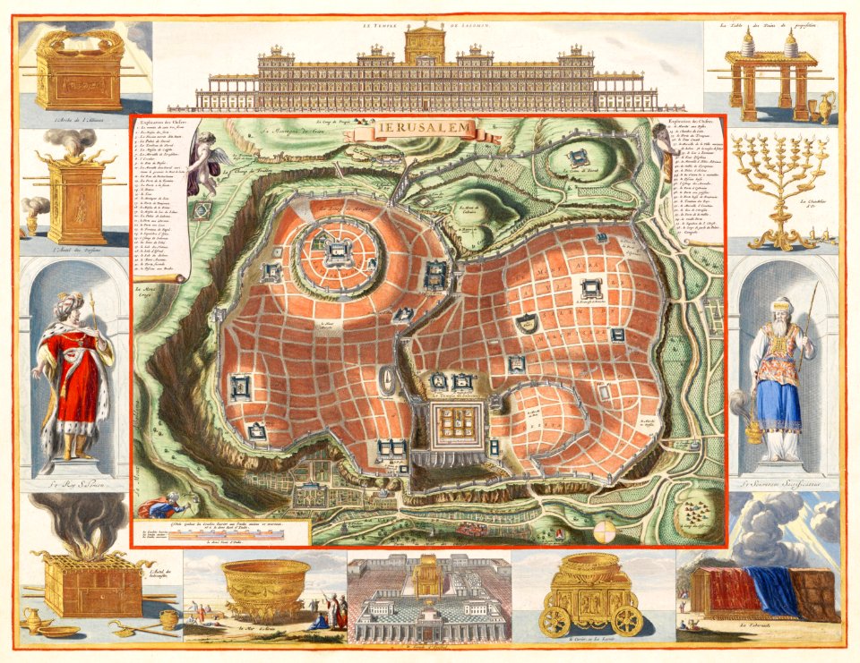
afbeeldinge der stad jerusalem
17th-century maps of the eastern mediterranean
andré daulier deslandes
bernhard von breydenbach
erhard reuwich
henricus hondius ii, nova totius terrarum orbis geographica ac hydrographica tabula, 1630
eran laor cartographic collection
eran laor cartographic collection
william hughes (geographer)
maps in the amsterdam museum
1690s maps of palestine
collections of the national library of israel
1725 maps
eran laor cartographic collection
william hughes (geographer)
collections of the national library of israel
louis-joseph mondhare
eran laor cartographic collection
johannes van den aveelen
eran laor cartographic collection
afbeeldinge der stad jerusalem
eran laor cartographic collection
afbeeldinge der stad jerusalem
jodocus hondius ii, nova totius terrarum orbis geographica ac hydrographica tabula, 1636
eran laor cartographic collection
maps of lidingö
1781 in sweden
jodocus hondius ii, nova totius terrarum orbis geographica ac hydrographica tabula, 1636
eran laor cartographic collection
jodocus hondius ii, nova totius terrarum orbis geographica ac hydrographica tabula, 1636
eran laor cartographic collection
jodocus hondius ii, nova totius terrarum orbis geographica ac hydrographica tabula, 1636
eran laor cartographic collection
jodocus hondius ii, nova totius terrarum orbis geographica ac hydrographica tabula, 1636
eran laor cartographic collection
eran laor cartographic collection
afbeeldinge der stad jerusalem
old maps of the tribes of israel
old maps of ancient israel
henricus hondius ii, nova totius terrarum orbis geographica ac hydrographica tabula, 1630
eran laor cartographic collection
henricus hondius ii, nova totius terrarum orbis geographica ac hydrographica tabula, 1630
eran laor cartographic collection
henricus hondius ii, nova totius terrarum orbis geographica ac hydrographica tabula, 1630
eran laor cartographic collection
henricus hondius ii, nova totius terrarum orbis geographica ac hydrographica tabula, 1630
eran laor cartographic collection
henricus hondius ii, nova totius terrarum orbis geographica ac hydrographica tabula, 1630
eran laor cartographic collection
maps of ancient israel by philippe de la rué
old maps of ancient israel
eran laor cartographic collection
johannes van den aveelen
jodocus hondius ii, nova totius terrarum orbis geographica ac hydrographica tabula, 1636
eran laor cartographic collection
jodocus hondius ii, nova totius terrarum orbis geographica ac hydrographica tabula, 1636
eran laor cartographic collection
jodocus hondius ii, nova totius terrarum orbis geographica ac hydrographica tabula, 1636
eran laor cartographic collection
jodocus hondius ii, nova totius terrarum orbis geographica ac hydrographica tabula, 1636
eran laor cartographic collection
jodocus hondius ii, nova totius terrarum orbis geographica ac hydrographica tabula, 1636
eran laor cartographic collection
jodocus hondius ii, nova totius terrarum orbis geographica ac hydrographica tabula, 1636
eran laor cartographic collection
jodocus hondius ii, nova totius terrarum orbis geographica ac hydrographica tabula, 1636
eran laor cartographic collection
jodocus hondius ii, nova totius terrarum orbis geographica ac hydrographica tabula, 1636
eran laor cartographic collection
jodocus hondius ii, nova totius terrarum orbis geographica ac hydrographica tabula, 1636
eran laor cartographic collection
maps in the library of congress
1770s maps showing history
engravings by israël silvestre
spain in the 17th century
eran laor cartographic collection
claes jansz. visscher (ii)
eran laor cartographic collection
evert maaskamp
henricus hondius ii, nova totius terrarum orbis geographica ac hydrographica tabula, 1630
eran laor cartographic collection
henricus hondius ii, nova totius terrarum orbis geographica ac hydrographica tabula, 1630
eran laor cartographic collection
henricus hondius ii, nova totius terrarum orbis geographica ac hydrographica tabula, 1630
eran laor cartographic collection
henricus hondius ii, nova totius terrarum orbis geographica ac hydrographica tabula, 1630
eran laor cartographic collection
maps by nicolaes visscher i
old maps of assyria
1 - 100 of 185
Next page
/ 2


![Ins. Ceilan, quæ incolís Tenarifin dicitur [cartographic material] / dedit clarissismus vir Petrus Plancius., 1595](https://cdn.creazilla.com/illustrations/10001171850/ins-ceilan-qu-incol-s-tenarifin-dicitur-cartographic-material-dedit-clarissismus-vir-petrus-plancius-1595-md.jpg)


