Log in
All resources
Create a design
64 Free Artworks of Maps Of Canals In France
fonds ancely - bibliothèque municipale de toulouse - maps
steel engraving print
bibliothèques de toulouse
raymond bonheur
victor levasseur - maps of france
bibliothèque nationale de france
victor levasseur - maps of the world
1854 maps of france
maps from gallica
maps by alexandre vuillemin
works after map of amsterdam, 1544
ships on maps
cartes de franz schrader
maps of canals in france
maps from gallica
maps of tlemcen
19th-century maps of france
1854 maps of france
coats of arms of cities in oise
pierre de la ramée
eran laor cartographic collection
alexis-hubert jaillot
victor levasseur - maps of france
19th-century maps of finistère
pieter verbiest (ii)
maps from gallica
victor levasseur - maps of the world
coats of arms of switzerland
coats of arms of mézières (ardennes)
victor levasseur - maps of france
old maps of regions of france
pierre françois tardieu
coats of arms of cities in nièvre
andré dupin
coats of arms of rhône
old maps of rhône
18th-century maps of the bosphorus
joseph roux
coats of arms of cities in haute-marne
charles-guillaume étienne
victor levasseur - maps of the world
1850s maps of oceania
victor levasseur - maps of france
coats of arms of perpignan
coats of arms of cities in var
19th-century maps of var
19th-century maps of seine-et-marne
coats of arms of seine-et-marne
coats of arms of cities in haute-loire
marquis de lafayette in art
georges-louis leclerc, comte de buffon
coats of arms of dijon
coats of arms of auch
old maps of gers
coats of arms of cities in doubs
bon adrien jeannot de moncey
coats of arms of cities in vaucluse
jean-sifrein maury
victor levasseur - maps of france
engravings by nicolas mignard
coats of arms of cities in ardèche
victor levasseur - maps of france
coats of arms of orléans
gaspard de coligny
coats of arms of cities in drôme
jean étienne championnet
19th-century maps of haute-saône
coats of arms of vesoul
victor levasseur - maps of france
old maps of gironde
19th-century maps of loire-atlantique
pierre cambronne
pierre terrail de bayard
casimir pierre perier
19th-century maps of loire (department)
coats of arms of cities in loire
victor levasseur - maps of the world
old maps of north america
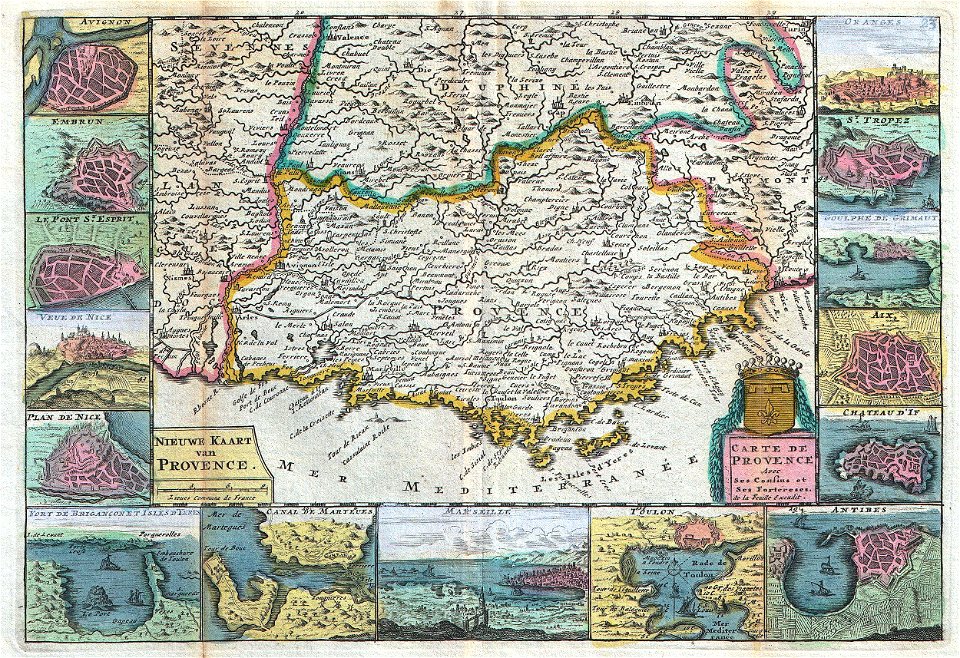
old maps of provence
1747 maps of france
coats of arms of cities in lot-et-garonne
victor levasseur - maps of france
19th century maps of haute-vienne
coats of arms of haute-vienne
coats of arms of nîmes
baroque
coats of arms of chalon-sur-saône
alphonse de lamartine
coats of arms of saint-brieuc
old maps of côtes-d'armor
19th-century maps of indre-et-loire
coats of arms of tours
victor levasseur - maps of france
pierre-jean david
victor levasseur - maps of the world
neoclassicism
old maps of meurthe (department)
coats of arms of nancy
coats of arms of cities in manche
19th-century maps of manche
victor levasseur - maps of france
19th-century maps of ain
coats of arms of cities in pyrénées-atlantiques
old maps of pyrénées-atlantiques
old maps of charente-maritime
coats of arms of la rochelle
maps by herman moll
john perry
victor levasseur - maps of the world
french algeria
victor levasseur - maps of the world
1854 maps of africa
19th-century double hemisphere world maps
maps by alexandre vuillemin
romanticism,neoclassicism
jacques nompar de caumont
maps of paris from the david rumsey historical map collection
1778 in paris
victor levasseur - maps of the world
historical images of arecaceae
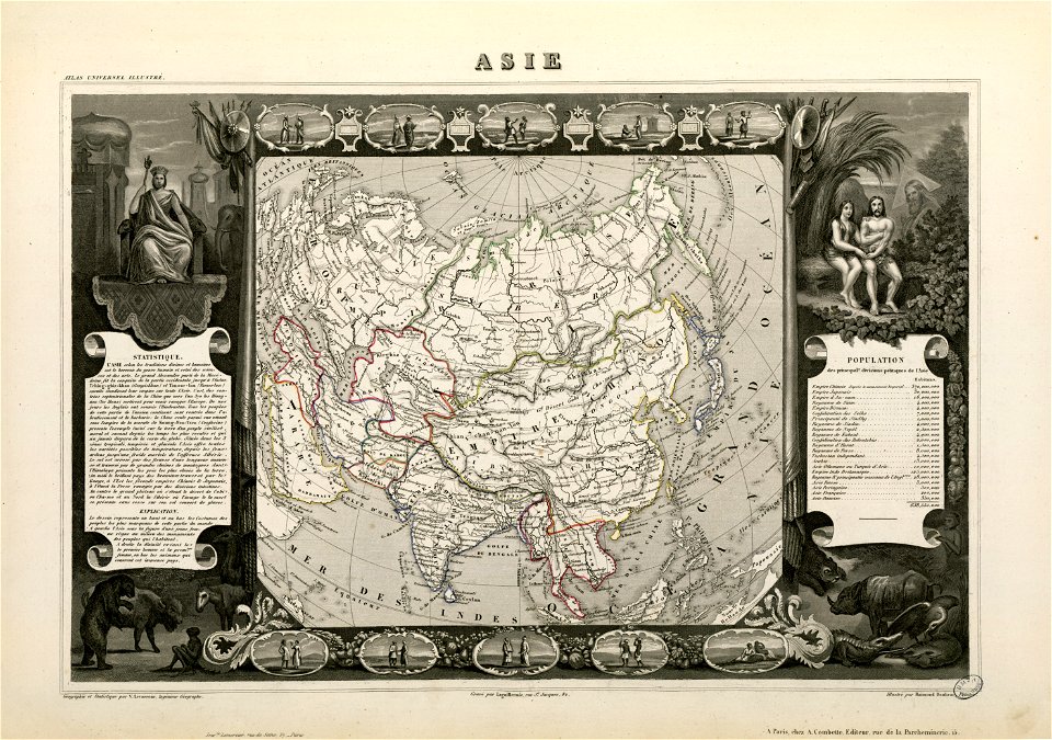
victor levasseur - maps of the world
old maps of asia
victor levasseur - maps of the world
19th-century maps of martinique
cartouches by joseph roux
cartouche (cartography)
kaart van het nieuwe diep aan de helder - vervaardigtenk in july en augustus 1785, door leendert den berger ; leon.d schenk, jansz. sculpsit - btv1b53102961h
leonard schenk jansz.
kaart van het nieuwe diep aan de helder - vervaardigtenk in july en augustus 1785, door leendert den berger ; leon.d schenk, jansz. sculpsit - btv1b53102961h
leonard schenk jansz.
bibliothèque nationale de france
félix robaut
fonds ancely - bibliothèque municipale de toulouse - maps
19th-century maps of calvados
fossa sanctae mariae quae et eugeniana dicitur vulgo de nieuwe grift - btv1b532255218
maps of venlo by willem and johannes blaeu
the book of ser marco polo the venetian concerning the kingdoms and marvels of the east (1903)
historical images of canal grande (venice)
1 - 64 of 64
/ 1