Log in
All resources
Create a design
87 Free Artworks of 1783 Maps
bibliothèque nationale de france
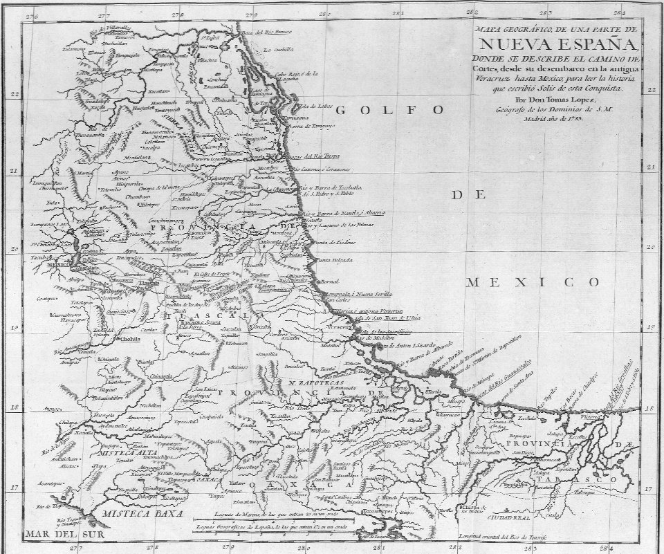
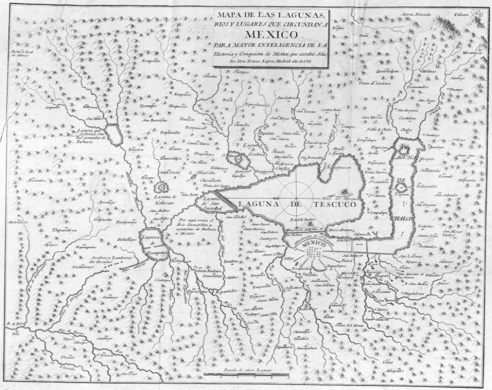
maps by tomas lopez
1783 maps of spain
maps of spain by tomas lopez
atlas géographique des quatre parties du monde (delisle)
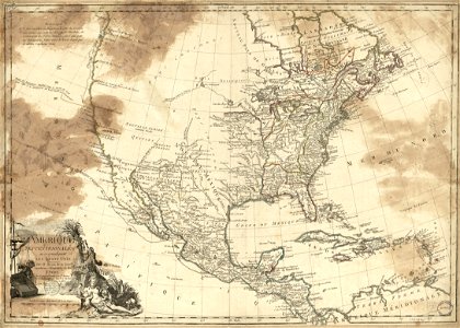
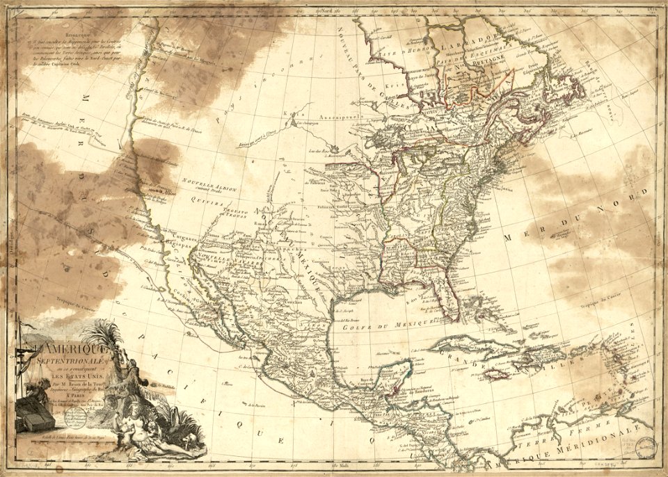
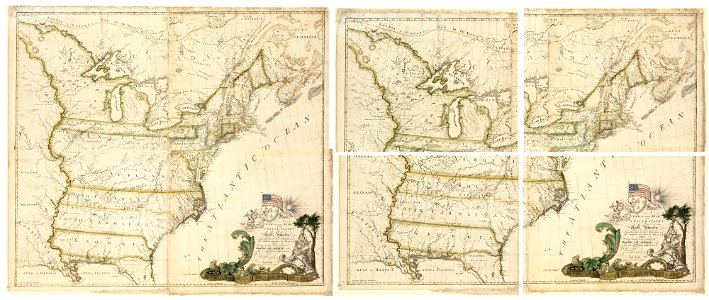
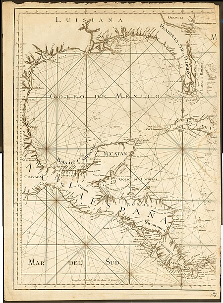
1783 maps of north america
an account of the pelew islands
maps in the library of congress
old maps of the province of salamanca
prints by dancker danckerts in the rijksmuseum amsterdam
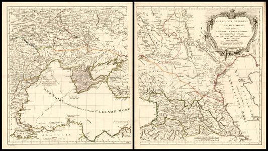
18th-century maps of the black sea
charles françois delamarche
maps in russian state archives of ancient documents
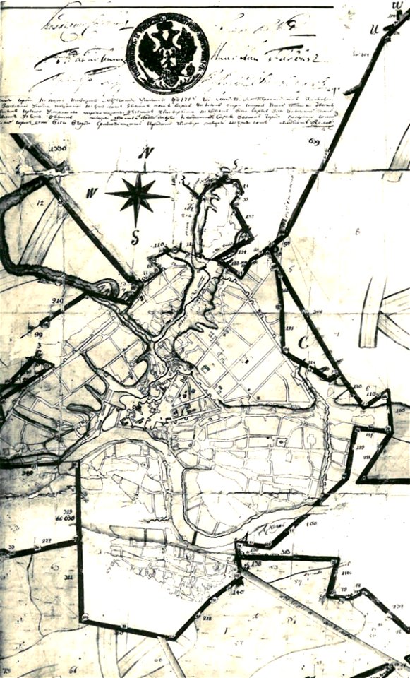
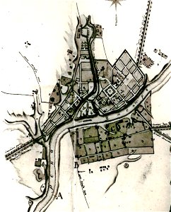
maps of mahilioŭ
maps in russian state archives of ancient documents
historical images of čerykaŭ
maps in russian state archives of ancient documents
historical images of orša
maps in the library of congress
1783 maps of north america
maps in the library of congress
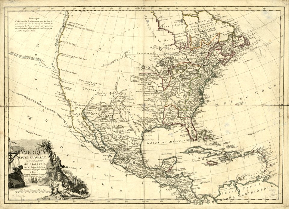
1783 maps of north america
maps in the library of congress
1783 maps of north america
maps in the library of congress
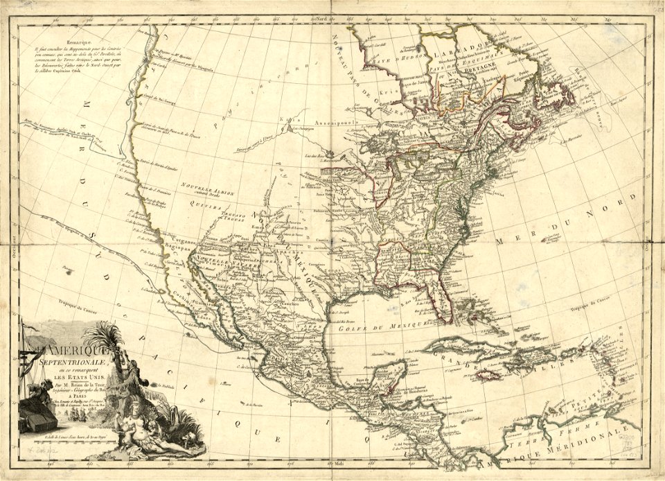
1783 maps of north america
maps in the library of congress
1783 maps of north america
maps in the library of congress
1783 maps of north america
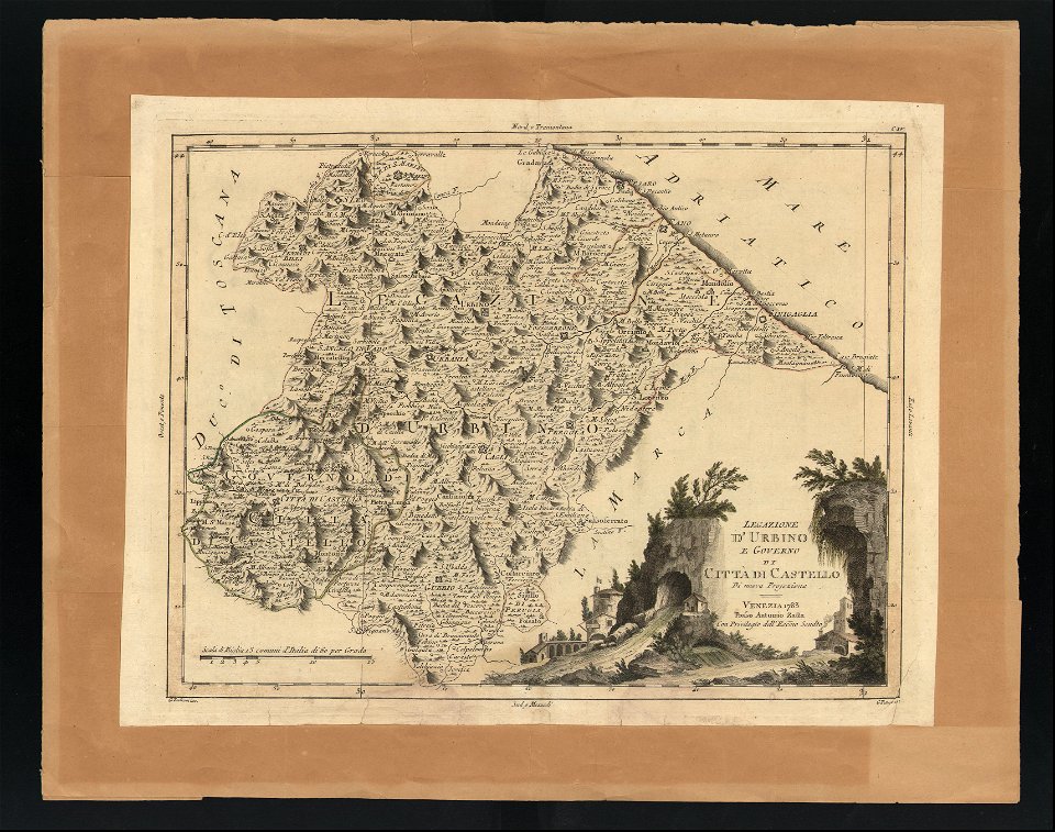
maps in the biblioteca federiciana
old maps of marche
maps of the united states
johann christoph brotze
old maps of riga
charles françois delamarche
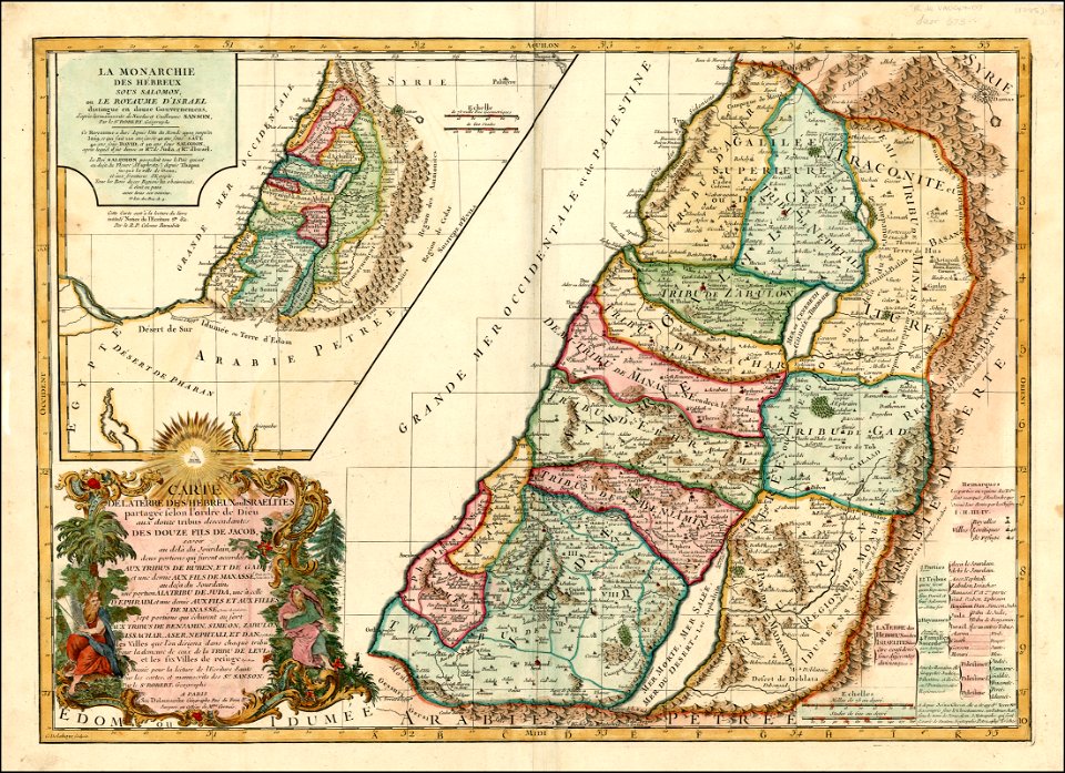
old maps of the holy land
18th-century maps of estonia
old maps of livonia
maps by alexis-hubert jaillot
maps by nicolas sanson
1780s maps of florida
maps of florida
maps of paris from bibliothèque nationale de france
maps of paris by jean lattré
maps of paris from bibliothèque nationale de france
nouveau plan de paris by louis brion de la tour
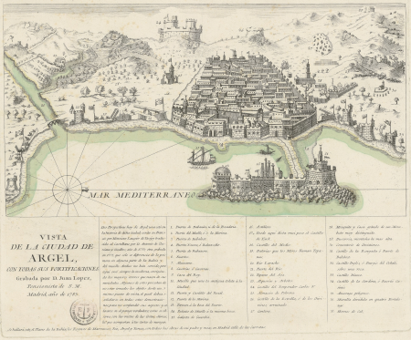
maps of ottoman algeria
old maps of algiers
naval battles involving the ottoman empire in art
bombardment of algiers (1783)
maps of spain by tomas lopez
1783 maps of spain
st. augustine, florida in the 18th century
1783 maps of north america
maps of spain by tomas lopez
1783 maps of spain
maps of spain by tomas lopez
1783 maps of spain
maps of spain by tomas lopez
1783 maps of spain
maps of spain by tomas lopez
1783 maps of spain
maps of spain by tomas lopez
1783 maps of spain
maps of spain by tomas lopez
1783 maps of spain
maps of spain by tomas lopez
1783 maps of spain
maps of spain by tomas lopez
1783 maps of spain
istanbul in the 1780s
maps by tomas lopez
old maps of algiers
maps by juan lopez
first manned hydrogen balloon flight by jacques charles
benoît louis prévost
palau in the 18th century
old maps of palau
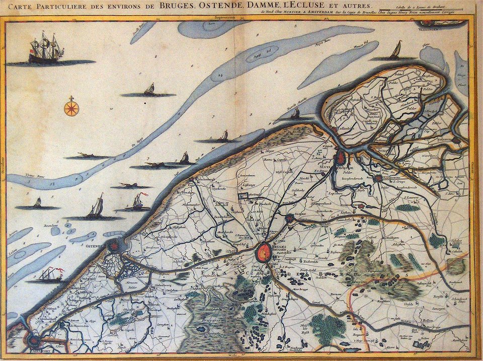
maps by pieter mortier
covens en mortier
atlas géographique des quatre parties du monde (delisle)
18th-century double hemisphere world maps
maps in the stadsarchief amsterdam
hendrik de leth
maps in the stadsarchief amsterdam
hendrik de leth
first manned hydrogen balloon flight by jacques charles
benoît louis prévost
bibliothèque nationale de france
maps by tomas lopez
map of the circle of bavaria by sanson
bibliothèque nationale de france
bibliothèque nationale de france
maps by tomas lopez
select views in india, drawn on the spot, in the years 1780, 1781, 1782, and 1783
british library asia, pacific and africa collections
history
maps
maps of italy by sanson and cordier
bibliothèque nationale de france
history
maps
lawrence h. slaughter collection of english maps, charts, globes, books and atlases
nypl lionel pincus and princess firyal map division
cartography
maps
atlas géographique des quatre parties du monde (delisle)
18th-century maps of africa
atlas géographique des quatre parties du monde (delisle)
map of europe by guillaume delisle (1700)
atlas géographique des quatre parties du monde (delisle)
folded maps
atlas géographique des quatre parties du monde (delisle)
folded maps
atlas géographique des quatre parties du monde (delisle)
18th-century maps of the world
atlas géographique des quatre parties du monde (delisle)
map of italy by guillaume delisle (1700)
hôtel de choiseul (rue de richelieu)
salle favart i
cartography
maps
atlas géographique des quatre parties du monde (delisle)
map of scandinavia by guillaume de l'isle (1706)
atlas géographique des quatre parties du monde (delisle)
map of scandinavia by guillaume de l'isle (1706)
palau in the 18th century
old maps of palau
juan de la cruz cano y olmedilla
maps by tomas lopez
juan de la cruz cano y olmedilla
maps by tomas lopez
etchings in the rijksmuseum amsterdam
carel frederik bendorp (i)
the hand-book for travellers in italy, from london to naples (1838)
old maps of tuscany
travel
maps
prints by daniel chodowiecki in the rijksmuseum amsterdam
rococo,neoclassicism
etchings in the rijksmuseum amsterdam
carel frederik bendorp (i)
plano de la bahia de argel situada en la costa de africa - explicacion del ataque que executo en esta bahia el ex.mo señor don antonio barcelo, siendo su mayor general el capitan de navio don joseph... - btv1b53238422p
maps by tomas lopez
an account of the pelew islands
1793 fleurons
an account of the pelew islands
1793 fleurons
an account of the pelew islands
1789 fleurons
an account of the pelew islands
1788 fleurons
an account of the pelew islands
1788 fleurons
an account of the pelew islands
1788 fleurons
1779 maps of the united states
1770s maps of the caribbean
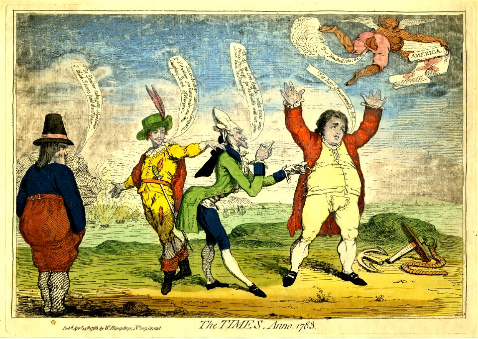
prints by james gillray in the british museum
satirical prints in the british museum
prints in the royal collection of the united kingdom
thomas vivares
1830s maps of persia, afghanistan and baluchistan
historical and descriptive account of persia
engravings of amsterdam in the rijksmuseum amsterdam
schouwburg van de witte
prints by william dent in the british museum
satirical prints in the british museum
prints by cornelis danckerts (i) in the rijksmuseum amsterdam
prints by dancker danckerts in the rijksmuseum amsterdam
caart van de stad rotterdam, door johannes de vouw
albums in the rijksmuseum amsterdam
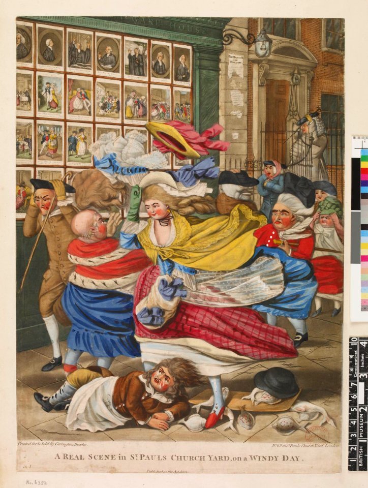
satirical prints in the british museum
caricatures of fashion
maps in the rijksmuseum amsterdam
dutch baroque architecture
prints by dancker danckerts in the rijksmuseum amsterdam
royal palace of amsterdam
prints by dancker danckerts in the rijksmuseum amsterdam
royal palace of amsterdam in art
prints by dancker danckerts in the rijksmuseum amsterdam
royal palace of amsterdam in art
1 - 87 of 87
/ 1