Log in
All resources
Create a design
77 Free Artworks of 1731 Maps
cartography
engraving
chalcography
grabados
fondo antiguo
calcografía
cartografía
libros del siglo xviii
cartografía, mapas | cartography, maps
18th century books
veracruz
florida
charts and maps of the royal museums greenwich
1731 maps
confluence of the seine and marne rivers
plan de roussel - derivative files
maps by alexis-hubert jaillot
1730s maps of france
abbaye de longchamp
bac de suresnes
plan de roussel - derivative files
maps of montrouge
plan de roussel - derivative files
château de bercy
plan de roussel - derivative files
cimetière ancien d'ivry-sur-seine
maps in the library of congress
plan de roussel
plan de roussel - derivative files
maps of the bois de boulogne
avenue maurice-thorez (ivry-sur-seine)
maps of ivry-sur-seine
maps in the library of congress
plan de roussel
avenue de fontainebleau (le kremlin-bicêtre)
plan de roussel - derivative files
atlas des anciens plans de paris by imprimerie nationale, 1880 from bhvp
plan de roussel
plan de roussel - derivative files
château de bagnolet (paris)
atlas des anciens plans de paris by imprimerie nationale, 1880 from bhvp
plan de roussel - partial files
atlas des anciens plans de paris by imprimerie nationale, 1880 from bhvp
plan de roussel - partial files
maps of paris from the david rumsey historical map collection
plan de roussel
plan de roussel - derivative files
rue d'aubervilliers (paris)
plan de roussel - derivative files
maps in the library of congress
old submaps of paris 7e arrondissement
île des cygnes
atlas des anciens plans de paris by imprimerie nationale, 1880 from the musée carnavalet
maps of paris from paris musées
maps of meeresteijn
hendrik de leth
paintings by christoph bernhard francke in the herzog anton ulrich-museum
portrait paintings in the herzog anton ulrich-museum
atlas des anciens plans de paris by imprimerie nationale, 1900 from the david rumsey historical map collection
maps of paris from the david rumsey historical map collection
environs de paris levés géométriquement by jean delagrive (1731-1742)
maps of paris from bibliothèque nationale de france
environs de paris levés géométriquement by jean delagrive (1731-1742)
maps of paris from bibliothèque nationale de france
environs de paris levés géométriquement by jean delagrive (1731-1742)
maps of paris from bibliothèque nationale de france
environs de paris levés géométriquement by jean delagrive (1731-1742)
maps of paris from bibliothèque nationale de france
environs de paris levés géométriquement by jean delagrive (1731-1742)
maps of paris from bibliothèque nationale de france
environs de paris levés géométriquement by jean delagrive (1731-1742)
maps of paris from bibliothèque nationale de france
environs de paris levés géométriquement by jean delagrive (1731-1742)
maps of paris from bibliothèque nationale de france
environs de paris levés géométriquement by jean delagrive (1731-1742)
maps of paris from bibliothèque nationale de france
environs de paris levés géométriquement by jean delagrive (1731-1742)
maps of paris from bibliothèque nationale de france
atlas des anciens plans de paris by imprimerie nationale, 1900 from the david rumsey historical map collection
maps of paris from the david rumsey historical map collection
atlas des anciens plans de paris by imprimerie nationale, 1900 from the david rumsey historical map collection
maps of paris from the david rumsey historical map collection
eran laor cartographic collection
isaak tirion
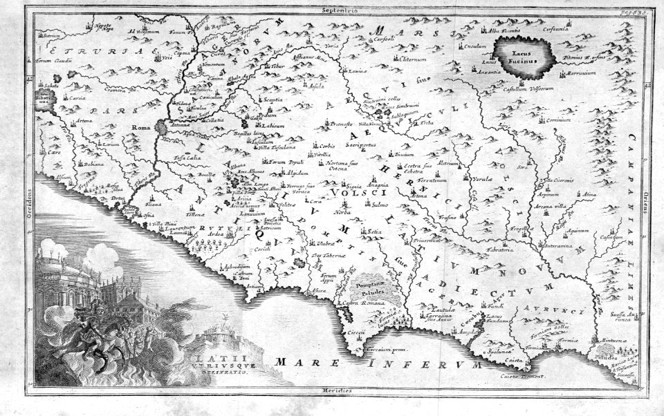
cartography
maps
maps by guillaume delisle showing history
old maps of alexander the great's empire
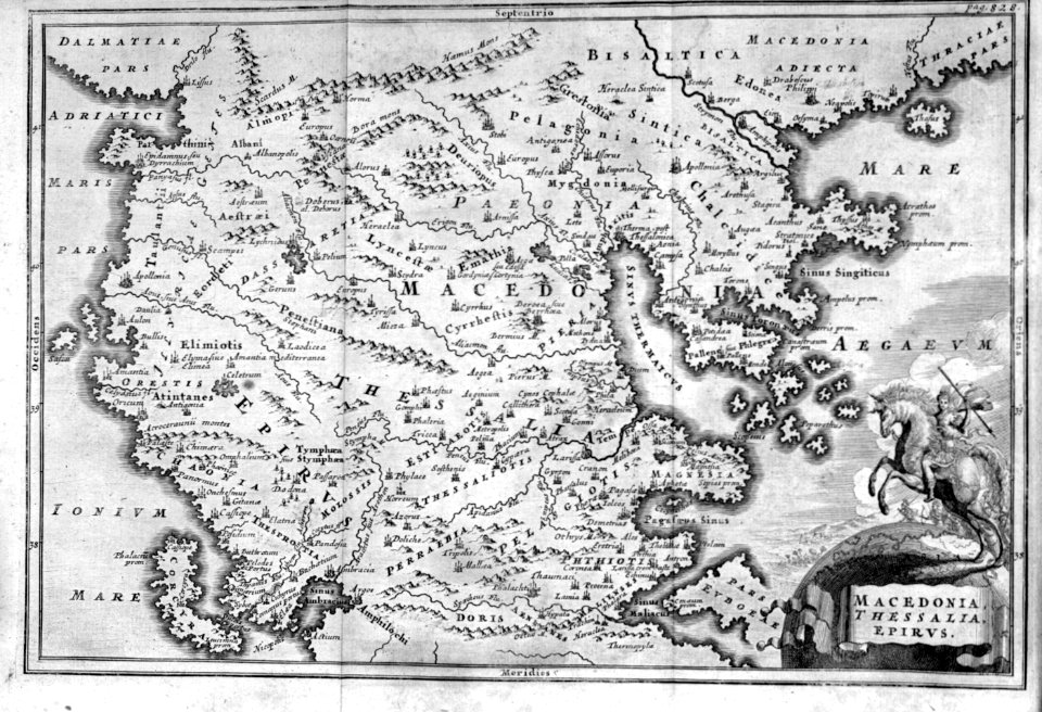
cartography
maps
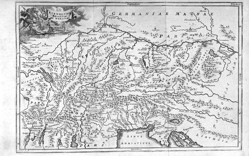
cartography
maps
1744 maps of quebec
saguenay river
cartography
maps
cartography
maps
cartography
maps
cartography
maps
cartography
maps
cartography
maps
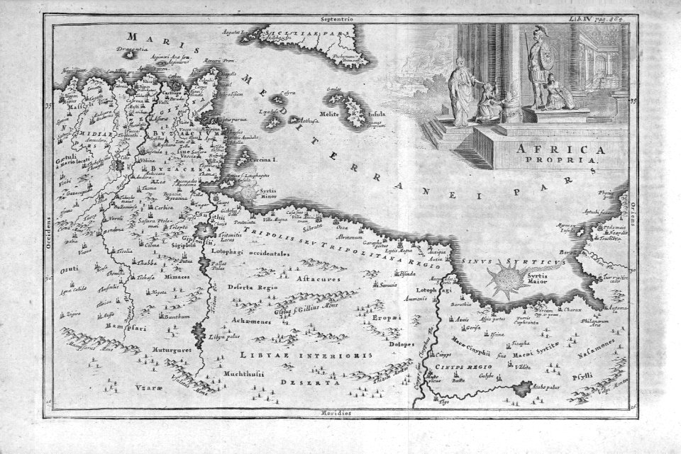
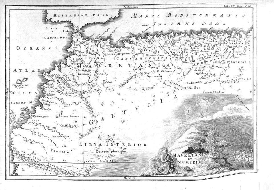
africa
maps
africa
maps
cartography
maps
cartography
maps
cartography
maps
cartography
maps
cartography
maps
cartography
maps
cartography
maps
cartography
maps
cartography
maps
cartography
maps
cartography
maps
cartography
maps
cartography
maps
africa
maps
cartography
maps
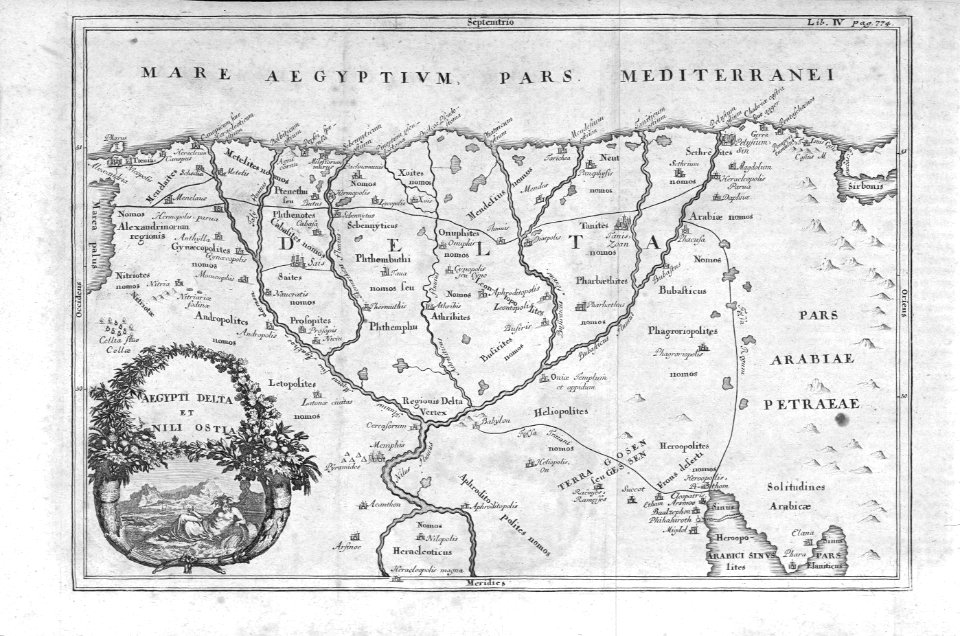
egypt
maps
duin en kruidberg, santpoort
hendrik de leth
duin en kruidberg, santpoort
hendrik de leth
hendrik de leth
huis te spijk
prints by johann esaias nilson in the rijksmuseum amsterdam
maps in the rijksmuseum amsterdam
recueil d'antiquités égyptiennes, étrusques, greques et romaines (1756)
18th-century maps of paris
maps in the rijksmuseum amsterdam
hendrik de leth
maps in the rijksmuseum amsterdam
hendrik de leth
maps in the rijksmuseum amsterdam
hendrik de leth
maps in the rijksmuseum amsterdam
hendrik de leth
duin en kruidberg, santpoort
hendrik de leth
recueil d'antiquités égyptiennes, étrusques, greques et romaines (1756)
historical images of paris
1 - 77 of 77
/ 1