Log in
All resources
Create a design
31 Free Artworks of 1730s Maps Of The Americas
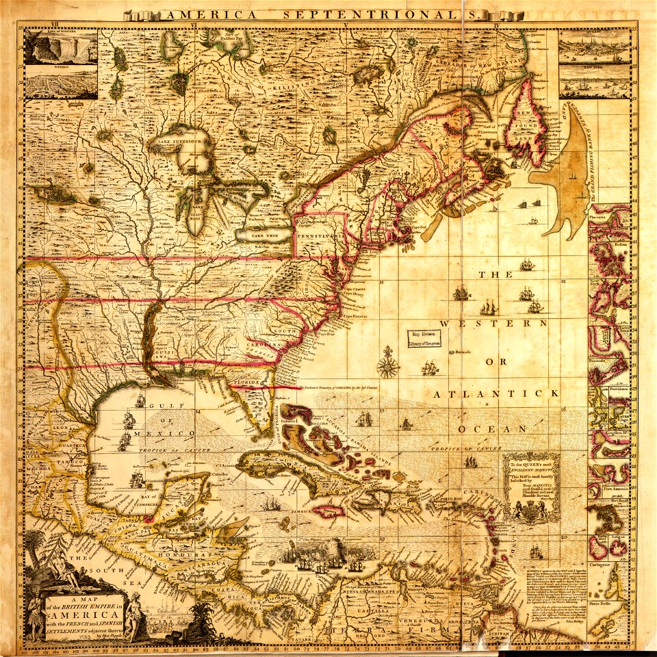
a map of the british empire in america with the french and spanish settlements adjacent thereto
1730s maps of the caribbean
bibliothèque nationale de france
maps in the library of congress
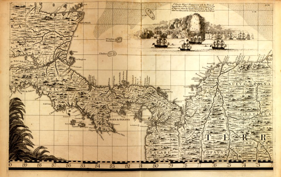
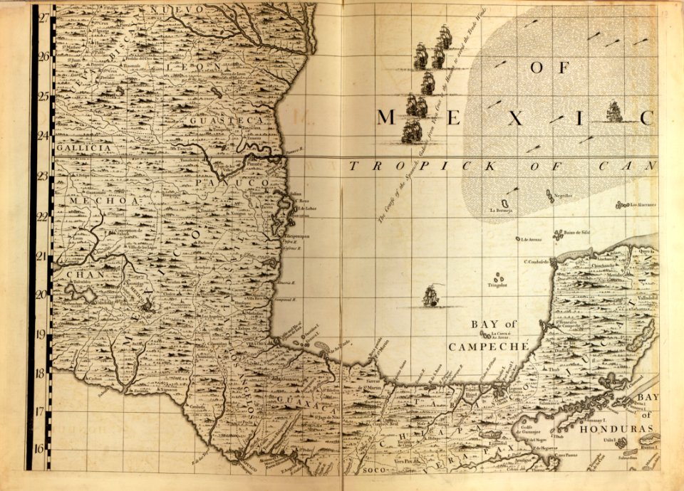
1730s maps of central america
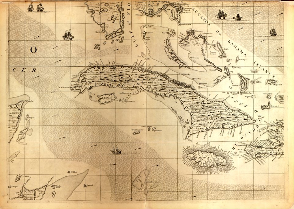
1730s maps of cuba
latin-language maps
covens en mortier
geocentric model
heliocentric model
1730s maps of south carolina
old maps of north america
a map of the british empire in america with the french and spanish settlements adjacent thereto
1730s maps of the caribbean
maps of the war of the spanish succession
apalachee
1730s maps of the americas
1730s maps
a map of the british empire in america with the french and spanish settlements adjacent thereto
1730s maps of the caribbean
a map of the british empire in america with the french and spanish settlements adjacent thereto
1730s maps of the caribbean
18th-century maps of havana
1730s maps of cuba
a map of the british empire in america with the french and spanish settlements adjacent thereto
maps in the library of congress
a map of the british empire in america with the french and spanish settlements adjacent thereto
maps in the library of congress
eran laor cartographic collection
gottfried hensel
war of jenkins' ear
edward vernon
a map of the british empire in america with the french and spanish settlements adjacent thereto
1730s maps of the caribbean
lawrence h. slaughter collection of english maps, charts, globes, books and atlases
covens en mortier
a map of the british empire in america with the french and spanish settlements adjacent thereto
1730s maps of central america
a map of the british empire in america with the french and spanish settlements adjacent thereto
maps in the library of congress
a map of the british empire in america with the french and spanish settlements adjacent thereto
1730s maps of the caribbean
a map of the british empire in america with the french and spanish settlements adjacent thereto
1730s maps of the caribbean
a map of the british empire in america with the french and spanish settlements adjacent thereto
maps in the library of congress
a map of the british empire in america with the french and spanish settlements adjacent thereto
maps in the library of congress
a map of the british empire in america with the french and spanish settlements adjacent thereto
maps in the library of congress
a map of the british empire in america with the french and spanish settlements adjacent thereto
maps in the library of congress
a map of the british empire in america with the french and spanish settlements adjacent thereto
maps in the library of congress
18th-century double hemisphere world maps
1730s maps of the world
18th-century double hemisphere world maps
1730s maps of the world
jean-fréderic phélypeaux
guillaume dheulland
geocentric model
1730 maps
lawrence h. slaughter collection of english maps, charts, globes, books and atlases
covens en mortier
maps of the south atlantic
guillaume dheulland
18th-century maps of antarctica
1741 maps
nicolas sanson. “mappe-monde, ou carte generale du monde.”
1667 map of madagascar by guillaume sanson
nicolas sanson. “mappe-monde, ou carte generale du monde.”
map of the bosphorus strait by guillaume sanson (1665)
1 - 31 of 31
/ 1