Log in
All resources
Create a design
31 Free Images of Old Maps Of Lower Saxony
skillshare 2010 stadtarchiv
stadtarchiv lüneburg
17th-century maps of lower saxony
de wikisource book leaflet
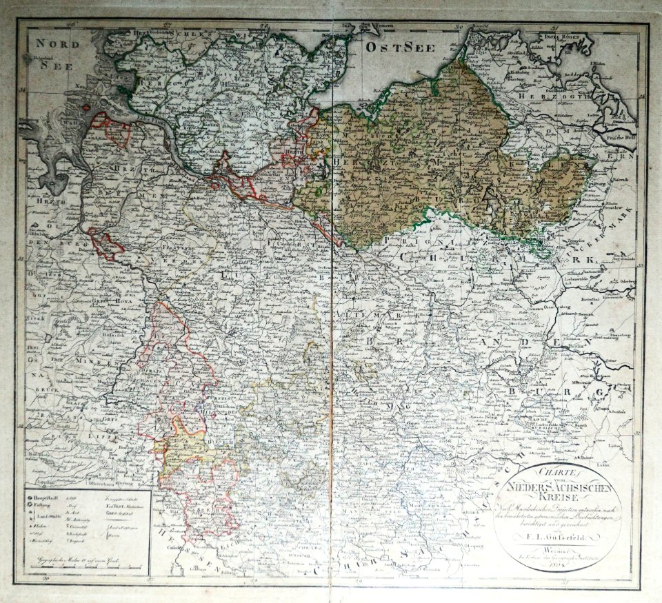
19th-century maps of lower saxony
maps of buxtehude
old maps of neuwerk
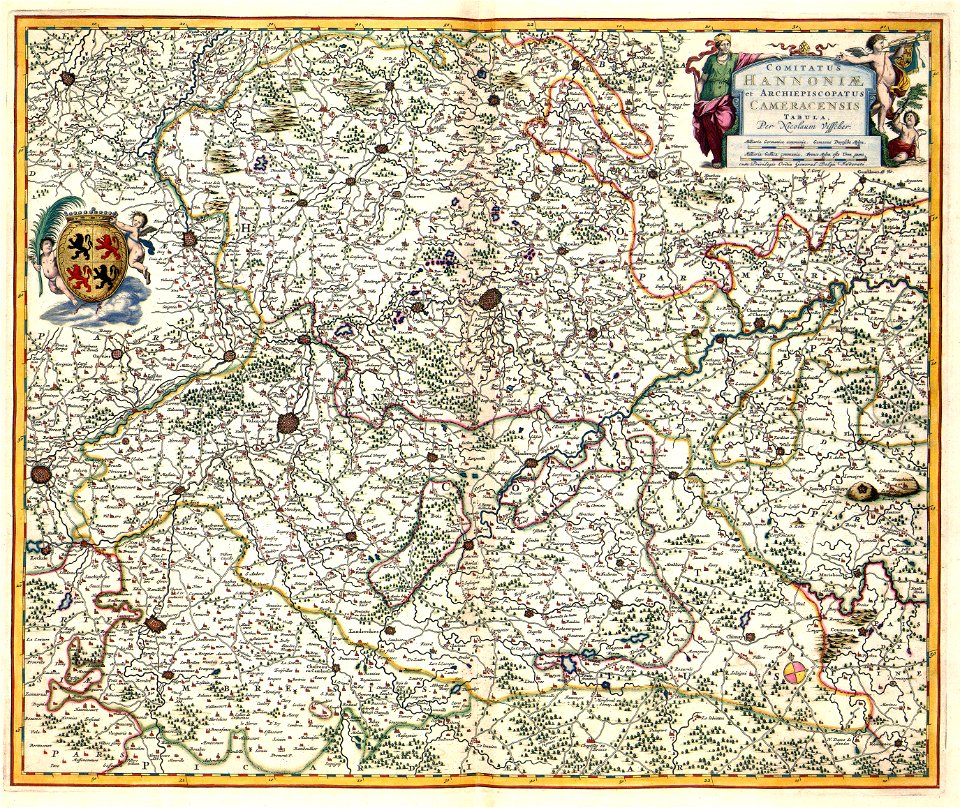
maps of territories in the lower saxony circle
maps with cartouches
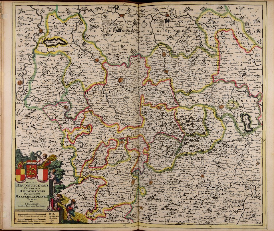
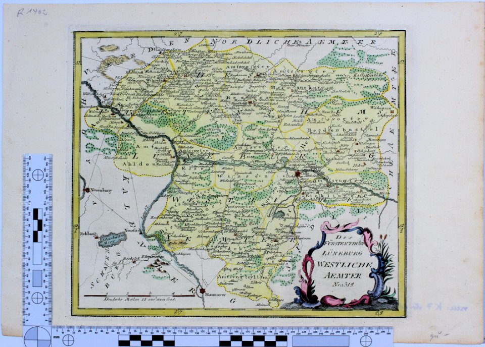
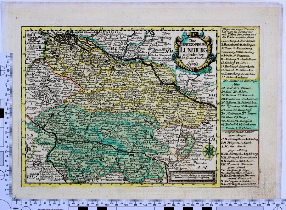
maps of the principality of lüneburg
maps of the elbe
alster (river)
maps of territories in the lower saxony circle
old maps of neuwerk
old maps of north rhine-westphalia
maps by willem and johannes blaeu
maps from the mechanical curator collection
old maps of prussia
old maps of lower saxony
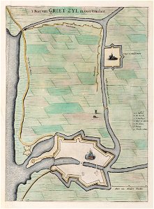
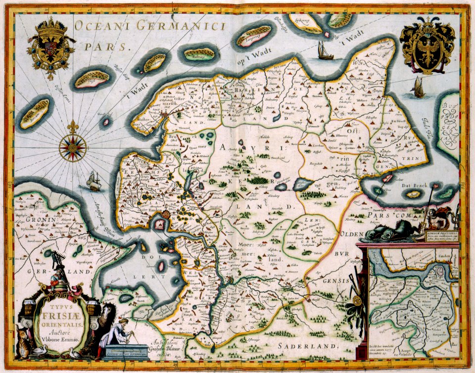
greetsiel
19th-century maps of lower saxony
old maps of mecklenburg
maps made in the 17th century
old maps of lower saxony
old maps of lower saxony
maps with cartouches
old maps of lower saxony
maps with cartouches
skillshare 2010 stadtarchiv
de wikisource book leaflet
skillshare 2010 stadtarchiv
stadtarchiv lüneburg
maps of territories in the lower saxony circle
19th-century maps of lower saxony
skillshare 2010 stadtarchiv
card
skillshare 2010 stadtarchiv
stadtarchiv lüneburg
skillshare 2010 stadtarchiv
de wikisource book leaflet
de wikisource book leaflet
card
skillshare 2010 stadtarchiv
de wikisource book leaflet
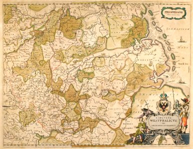
topographia westphaliae (merian)
baroque
old maps of emden
baroque
maps by willem and johannes blaeu
old maps of emden
maps of districts of lower saxony
steinfurt in the 1640s
maps of emden by braun & hogenberg
1575 in lower saxony
maps by john cary
1799 maps
1640s maps of lower saxony
atlas novus (blaeu)
atlas ou representation du monde universel t. 2 (1633)
maps by jan janssonius
hamburgische elbkarte von melchior lorichs
maps of buxtehude
david rumsey historical map collection
old maps of the holy roman empire
historical
history
maps by john cary
1799 maps
historical
history
historical
history
1 - 31 of 31
/ 1


![Gerardi Mercatoris and I. Hondii Atlas or Representation of the Universal World, and of the Parts of It, Made in Tables and Very Ample Descriptions. [t. 2].](https://cdn.creazilla.com/illustrations/10001063637/gerardi-mercatoris-and-i-hondii-atlas-or-representation-of-the-universal-world-and-of-the-parts-of-it-made-in-tables-and-very-ample-descriptions-t-2-sm.webp)