Log in
All resources
Create a design
8 Free Images of Old County Maps Of Hampshire
maps in the library of congress
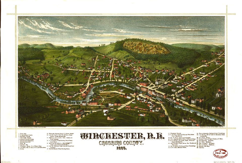
1887 maps of new hampshire
old maps of winchester
gerard valck
maps by pieter schenk (i)
atlantis magni tomus secundus (biblioteca comunale di trento)
old county maps of berkshire
17th-century maps of hampshire
bibliothèque nationale de france
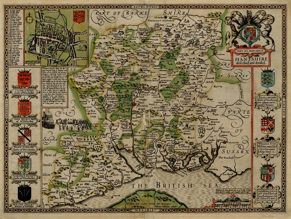
county maps of england by john speed
old county maps of hampshire
maps in the library of congress
1887 maps of new hampshire
maps in the library of congress
1887 maps of new hampshire
maps made in the 17th century
gerard valck
old county maps of hampshire
old county maps of berkshire
chorographia britanniae (1741-1742)
18th-century maps of hampshire
maps by thomas kitchin
old maps of hampshire
atlas maior, vol 5 (england) - joan blaeu, 1667 - bl 114.h(star).5
17th-century maps of hampshire
1 - 8 of 8
/ 1