Log in
All resources
Create a design
7 Free Images of Old County Maps Of Berkshire
university of toronto wenceslas hollar digital collection
hundred (county division)
county maps of england by wenzel hollar
gerard valck
maps by pieter schenk (i)
atlantis magni tomus secundus (biblioteca comunale di trento)
old county maps of hampshire
18th-century maps of berkshire
17th-century maps of berkshire
university of toronto wenceslas hollar digital collection
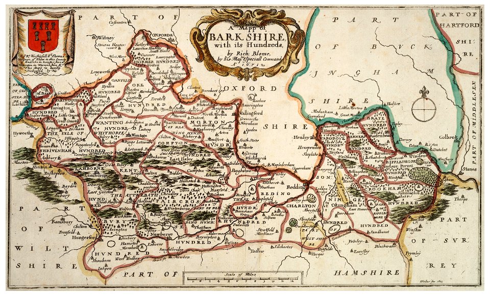
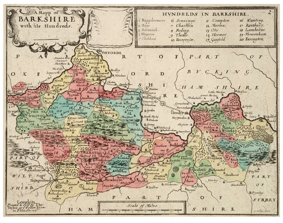
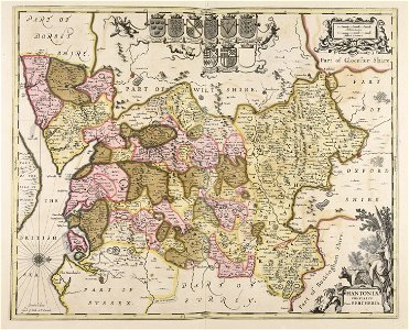
old county maps of berkshire
university of toronto wenceslas hollar digital collection
old county maps of berkshire
maps made in the 17th century
gerard valck
18th-century maps of berkshire
britannia depicta
old county maps of hampshire
old county maps of berkshire
chorographia britanniae (1741-1742)
18th-century maps of berkshire
atlas maior, vol 5 (england) - joan blaeu, 1667 - bl 114.h(star).5
17th-century maps of berkshire
1 - 7 of 7
/ 1