Log in
All resources
Create a design
27,441 Free Images of Maps
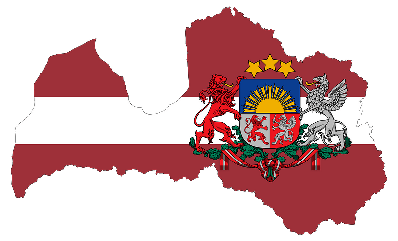
flag
eran laor cartographic collection
bibliothèque nationale de france
the comprehensive history of england (1876)
english-language maps showing history
1870s maps showing history
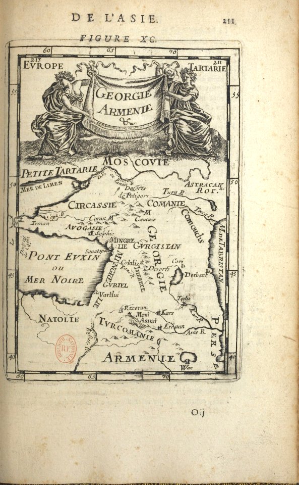
description de l'universe
alain manesson mallet
maps by willem and johannes blaeu
baroque
the comprehensive history of england (1876)
english-language maps showing history
the comprehensive history of england (1876)
english-language maps showing history
the comprehensive history of england (1876)
english-language maps showing history
the comprehensive history of england (1876)
english-language maps showing history
the comprehensive history of england (1876)
danube in 1704
the comprehensive history of england (1876)
english-language maps showing history
maps from the earth and its inhabitants, vol. vii
charles eugène perron
the comprehensive history of england (1876)
english-language maps showing history
media from accademia delle scienze di torino
high renaissance
curt teich postcard archives, curt teich & company
map postcards
old maps of namur (province)
1640s maps of belgium
old maps of hainaut (province)
1590s maps of belgium
17th-century maps of switzerland
maps by pieter van der keere
maps by jodocus hondius
old maps of nassau
media contributed by university of illinois urbana-champaign university library
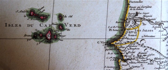
carte de barbarie, nigritie, guinée par guillaume delisle (1707)
old maps of leiden
baroque
maps of france by hendrik hondius
old maps of cambrai
maps of heidelberg by braun & hogenberg
maps of speyer by braun & hogenberg
old maps of the viceroyalty of new spain
1570s maps of mexico
18th-century maps of crimea
1780s maps of ukraine
cartouches by sanson family
pierre mariette i
german renaissance,northern renaissance
maps in the british museum
eran laor cartographic collection
johann ulrich krauß
maps of haussmann's renovation of paris
rue de médicis (paris)
maps of haussmann's renovation of paris
rue de médicis (paris)
december 1933 in washington, d.c.
public works of art project
maps
flag
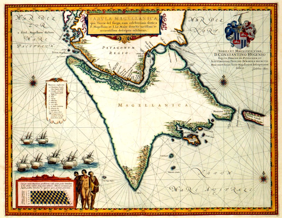
jacob le maire
1635 maps
turgot map of paris, david rumsey historical map collection – derivative files
collège des quatre-nations
turgot map of paris, david rumsey historical map collection – derivative files
historical images of the hôpital de la pitié-salpêtrière
final report of the northwest territory celebration commission
1938 maps
maps
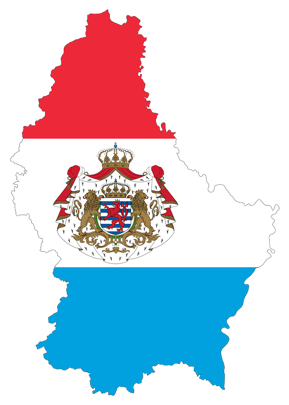
flag
maps
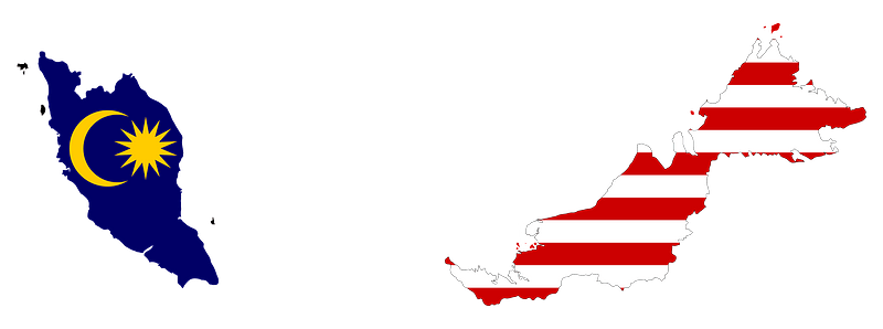
flag
maps
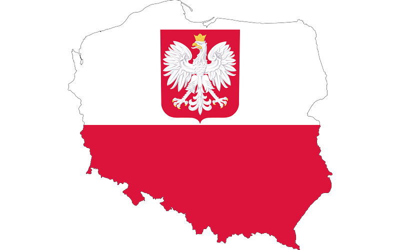
flag
maps
flag
maps
flag
maps
flag
maps
flag
maps
flag
maps
flag
maps
flag
maps
flag
maps
flag
maps
flag
maps
flag
maps
flag
maps
flag
maps
flag
maps
flag
maps
flag
maps
flag
maps
flag
19th-century maps of the black sea
tuzly lagoons national nature park
klosterberg (oberlausitz)
symbolism
lechenich
baroque
1594 maps of baden-württemberg
wilhelm besserer
maps of the west-indische compagnie
1770 maps
peter schwingen
peter de weerth
merian mainz trier köln
baroque
1680s maps of the caucasus
description de l'universe
transpadana venetorum ditio (galleria delle carte geografiche)
old maps of the province of bergamo
turgot map of paris, norman b. leventhal map center – derivative files
rue de braque on maps
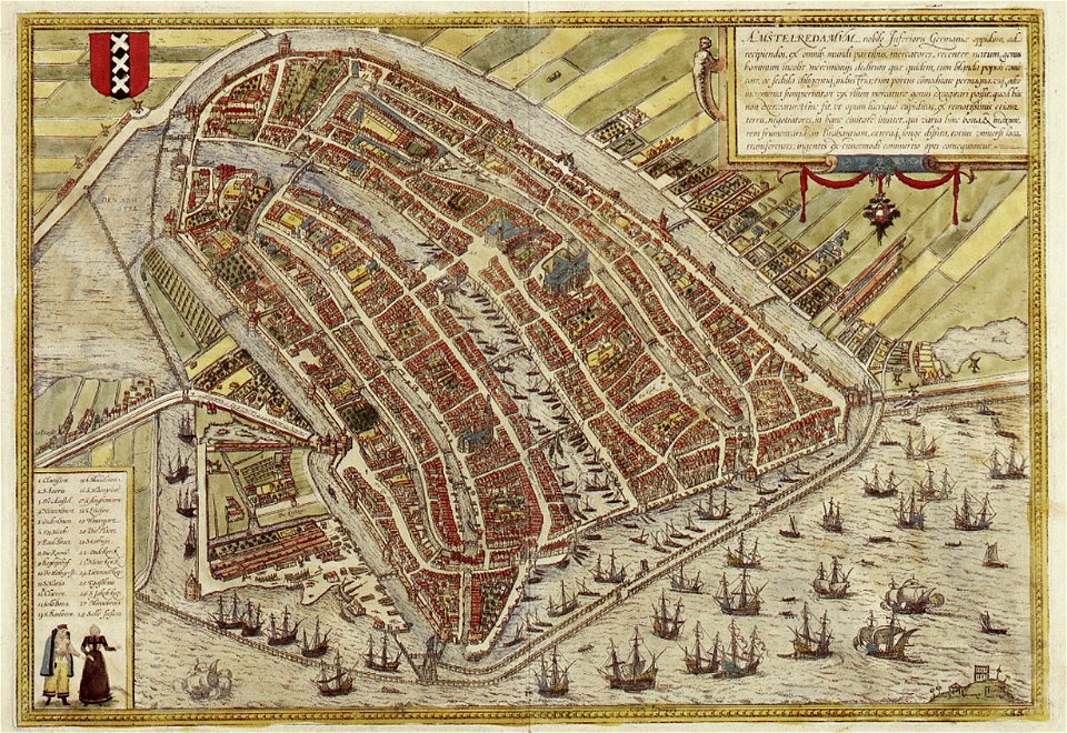
maps of amsterdam by braun & hogenberg
coats of arms of amsterdam on maps
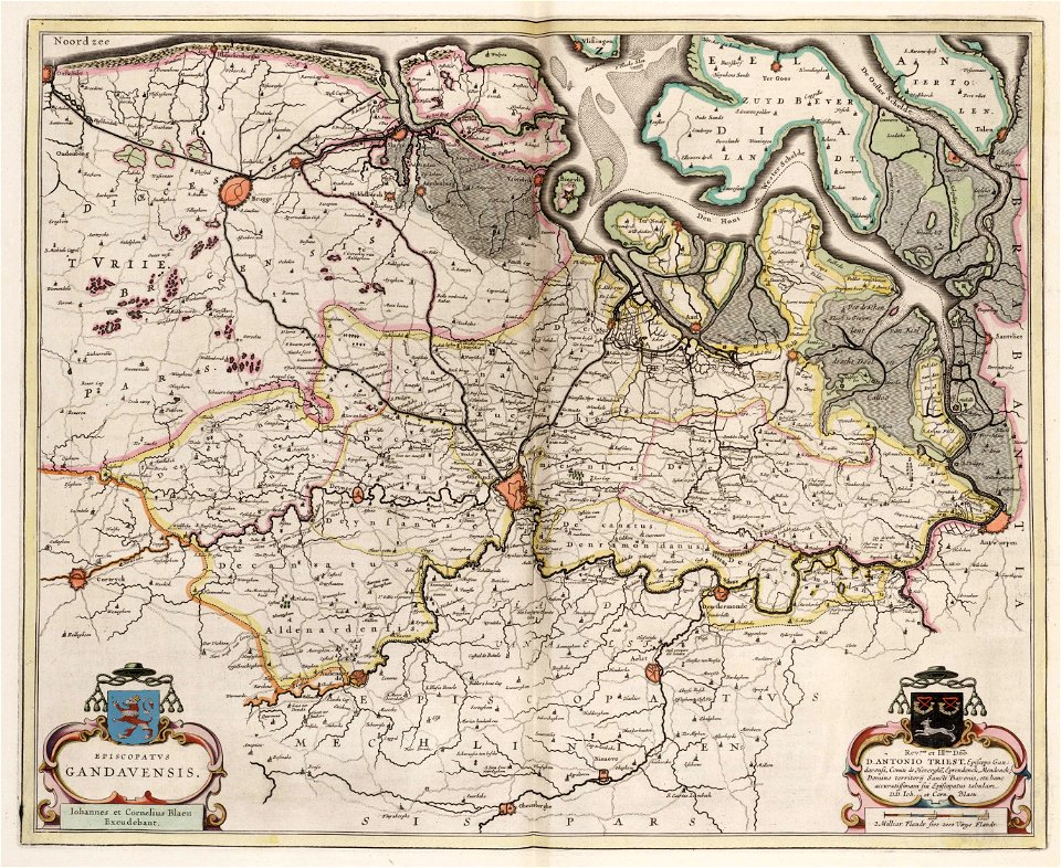
old maps of ghent
atlas van loon
robert surcouf, corsaire et armateur
antoine roux
maps by willem and johannes blaeu
maps of gelderland
maps of wales by humphrey llwyd
peeps at many lands: china
old maps of china
maps of london by braun & hogenberg
peeps at many lands: japan
old maps of japan
maps by hendrik hondius the younger
cartouches by jan janssonius
maps by willem and johannes blaeu
old maps of aardenburg
latin-language title pages
girolamo porro
eran laor cartographic collection
latin-language maps
17th-century maps of herefordshire
old county maps of herefordshire
maps from the earth and its inhabitants, vol. xi
africa in the 1890s
plan de roussel - derivative files
maps of the bois de boulogne
maps by willem and johannes blaeu
old maps of gouda
1720s maps of slovenia
1725 maps
1830s maps of jerusalem
romanticism
ancien couvent des dominicains (avignon)
cosmographia (1575) by sebastian münster
description de l'universe
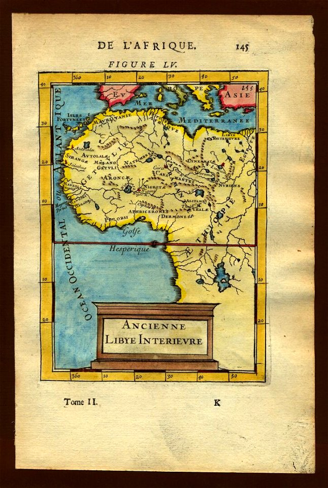
1680s maps of africa
madagascar in the 17th century
description de l'universe
turgot map of paris, kyoto university library
plan de turgot
maps from géographie illustrée de la france et de ses colonies
orientalist painting
maps from géographie illustrée de la france et de ses colonies
orientalist painting
old maps of southeast asia
philips galle
madagascar in the 17th century
description de l'universe
maps from géographie illustrée de la france et de ses colonies
orientalist painting
eran laor cartographic collection
antonio lafreri
eran laor cartographic collection
arnold colom
eran laor cartographic collection
joseph schwarz
eran laor cartographic collection
raymond bonheur
eran laor cartographic collection
willem blaeu
maps of vienna by braun & hogenberg
vienna in the 1580s
media from regionaal archief alkmaar
oudkarspel
gemeente atlas van nederland - north holland
maps of kwadijk
collège de lisieux
collège du plessis
eran laor cartographic collection
romeyn de hooghe
description de l'universe
alain manesson mallet
8301 - 8400 of 27,441
Next page
/ 275