Log in
All resources
Create a design
27,441 Free Images of Maps
maps in the library of congress
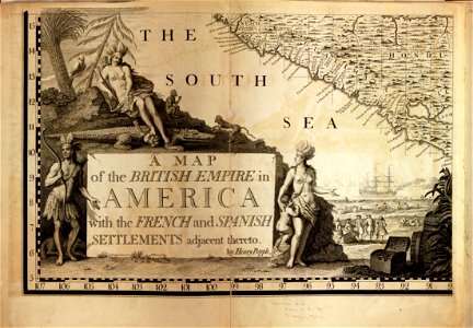
a map of the british empire in america with the french and spanish settlements adjacent thereto
bibliothèque nationale de france
eran laor cartographic collection
vrbivm praecipvarvm totivs mvndi (1612)
national library of poland
latin-language maps
german renaissance,humanism
hartmann schedel
1493 maps
map collection of leibniz-institut für länderkunde
dheulland map of paris
dheulland map of paris
map collection of leibniz-institut für länderkunde
dheulland map of paris
map collection of leibniz-institut für länderkunde
dheulland map of paris
vrbivm praecipvarvm totivs mvndi (1612)
maps of lauingen by braun & hogenberg
17th-century maps of the mediterranean sea
maps in the library of congress
vrbivm praecipvarvm totivs mvndi (1612)
maps of flensburg by braun & hogenberg
vrbivm praecipvarvm totivs mvndi (1612)
maps of krempe by braun & hogenberg
vrbivm praecipvarvm totivs mvndi (1612)
maps of oberwesel by braun & hogenberg
vrbivm praecipvarvm totivs mvndi (1612)
maps of eisleben by braun & hogenberg
maps of chalon-sur-saône by braun & hogenberg
vrbivm praecipvarvm totivs mvndi (1612)
vrbivm praecipvarvm totivs mvndi (1612)
maps of husum by braun & hogenberg
vrbivm praecipvarvm totivs mvndi (1612)
maps of lippstadt by braun & hogenberg
maps of moers by johannes mercator
old maps of duisburg
vrbivm praecipvarvm totivs mvndi (1612)
maps of marchena by braun & hogenberg
atlas vingboons
1665
maps by hendrik hondius the younger
1630s maps of the world
engravings of topographia superioris saxoniae, thüringiae, misniae et lusatiae (merian)
baroque
collections of the blanton museum of art
maps by alexis-hubert jaillot
roman catholic archdiocese of salzburg
old maps of salzburg (state)
nicolaas samuel crucquius
old maps of delfland
maps by willem and johannes blaeu
old maps of swabia
sanborn maps of manhattan published in 1903
irt second avenue line stations
1870s maps of libya
ghadames
sanson maps of the netherlands
cartouches by sanson family
maps by thomas jefferys
maps by tomas lopez
gino bottiglioni
guido colucci
1869 advertisements
1869 in boston
eran laor cartographic collection
richard william seale
galleria delle carte geografiche - ceiling
paintings of justice
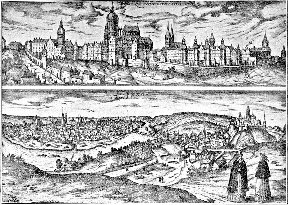
the story of prague (1902)
prague in art
english-language maps from ios map collection
classicism
maps in the library of congress
1777 maps
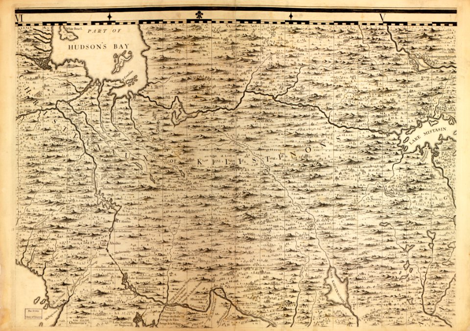
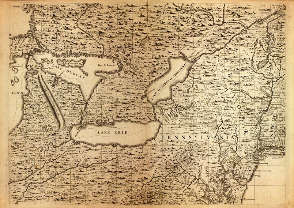
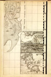
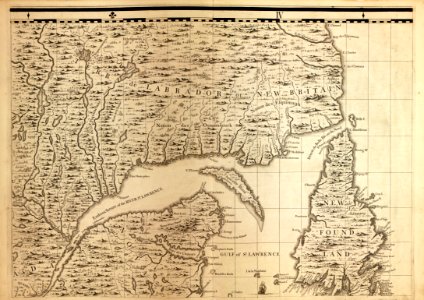
zehn karten und ansichten den schlachtfelden des amerikanischen unabhängigkeitskreiges in den staaten pennsylvanien und new york
maps in the library of congress
maps by christian sgrothen
maps of linnich
turgot map of paris, kyoto university library – derivative files
hôtel de guénégaud (quai de nevers)
sheet 11 of the turgot map of paris
rue neuve-notre-dame (paris)
atlas minor gerardi mercatoris (1621, maps)
17th-century maps of siberia
gemeente atlas van nederland - north holland
maps of texel
maps in the library of congress
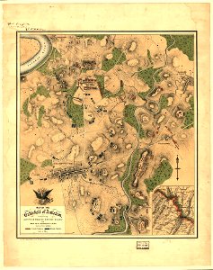
maps of the battle of antietam
old maps of the sinai peninsula
1870s maps of palestine
maps of israel
józsef farkas
maps of frankfurt-innenstadt
maps of frankfurt-nordend
guillaume sanson
maps of meaux
1799 maps of the russian empire
maps by john cary
a plan of the operations of the king's army under the command of general sr. william howe, k.b. in new york and east new jersey, against the american forces commanded by general washington, from the 12th. of october, to the 28th. of november 1776
battle of white plains
prints in the metropolitan museum of art
maps of alexandria by braun & hogenberg
maps in the library of congress
1792 maps of africa
maps from the mechanical curator collection available to georeference
maps from the mechanical curator collection
atlas - voyage pittoresque à l'île-de-france, au cap de bonne-espérance et à l'île de ténériffe (1812) by milbert
maps from the mechanical curator collection
1771 maps of africa
maps by tomas lopez
1780s maps of cuba
maps by juan lopez
17th-century maps of the isle of wight
joan blaeu
nouvelle géographie universelle, vol. xii
charles eugène perron
town maps by l. r. burleigh
delhi, new york
maps by willem and johannes blaeu
old maps of leiden
turgot map of paris, david rumsey historical map collection – derivative files
reuilly (paris)
maps by willem and johannes blaeu
old maps of leeuwarden
maps of rügen by eilhard lubinus
maps of castile by mercator-hondius
maps by john cary
1799 maps
18th-century maps of sri lanka
maps by thomas kitchin
maps in the library of congress
1771 maps of north america
maps in the library of congress
1755 maps of north america
john rocque 1746 london map (216 parts)
alie street
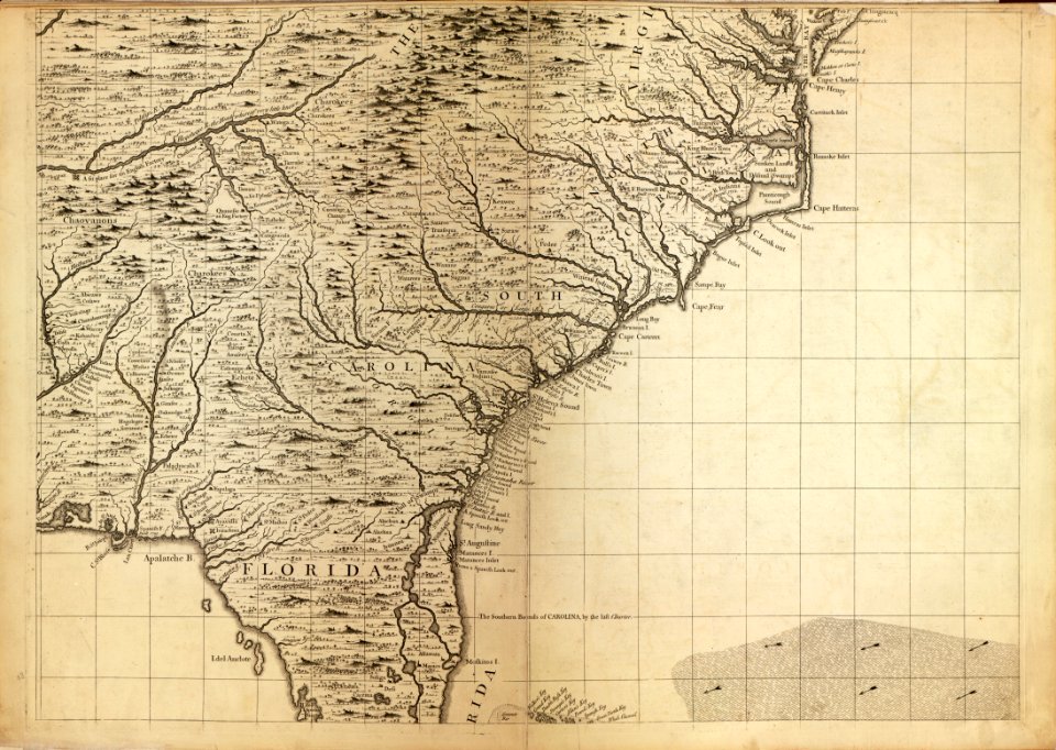
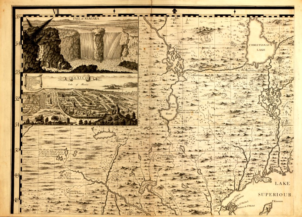
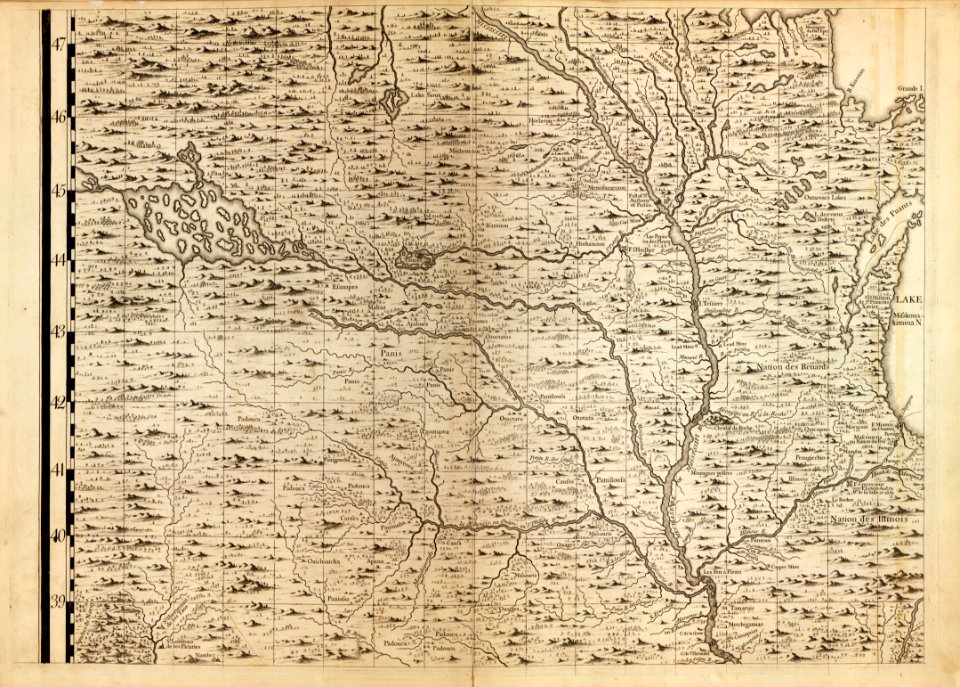
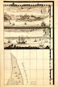
a map of the british empire in america with the french and spanish settlements adjacent thereto
maps in the library of congress
a map of the british empire in america with the french and spanish settlements adjacent thereto
maps in the library of congress
a map of the british empire in america with the french and spanish settlements adjacent thereto
maps in the library of congress
a map of the british empire in america with the french and spanish settlements adjacent thereto
maps in the library of congress
a map of the british empire in america with the french and spanish settlements adjacent thereto
maps in the library of congress
a map of the british empire in america with the french and spanish settlements adjacent thereto
maps in the library of congress
a map of the british empire in america with the french and spanish settlements adjacent thereto
maps in the library of congress
a map of the british empire in america with the french and spanish settlements adjacent thereto
maps in the library of congress
a map of the british empire in america with the french and spanish settlements adjacent thereto
maps in the library of congress
a map of the british empire in america with the french and spanish settlements adjacent thereto
maps in the library of congress
a map of the british empire in america with the french and spanish settlements adjacent thereto
maps in the library of congress
a map of the british empire in america with the french and spanish settlements adjacent thereto
maps in the library of congress
a map of the british empire in america with the french and spanish settlements adjacent thereto
maps in the library of congress
a map of the british empire in america with the french and spanish settlements adjacent thereto
maps in the library of congress
a map of the british empire in america with the french and spanish settlements adjacent thereto
maps in the library of congress
a map of the british empire in america with the french and spanish settlements adjacent thereto
maps in the library of congress
paintings by antônio parreiras in the museu antônio parreiras
paintings of seascapes by antônio parreiras
charles william meredith van de velde
eran laor cartographic collection
eran laor cartographic collection
isaak tirion
old maps of nassau
salomon rogiers
plan de la ville et faubourg de paris, divisé en ses 48 sections by mondhare & jean
maps of paris from the stanford libraries
1640s maps of the world
maps from gallica
pieter verbiest (ii)
maps from gallica
maps of loudun
mirebalais
lawrence h. slaughter collection of english maps, charts, globes, books and atlases
covens en mortier
brazilian paintings in the museu antônio parreiras
antônio rafael pinto bandeira
latin-language maps of africa
nicolas picart
eran laor cartographic collection
german renaissance,humanism
eran laor cartographic collection
romeyn de hooghe
eran laor cartographic collection
german renaissance,humanism
eran laor cartographic collection
german renaissance,humanism
eran laor cartographic collection
german renaissance,humanism
eran laor cartographic collection
cornelis de bruyn
eran laor cartographic collection
german renaissance,humanism
eran laor cartographic collection
german renaissance,humanism
6601 - 6700 of 27,441
Next page
/ 275