Log in
All resources
Create a design
10 Free Artworks of Old Maps Of Leeuwarden
jacob kuyper
gemeente atlas van nederland - utrecht
old maps of leeuwarden
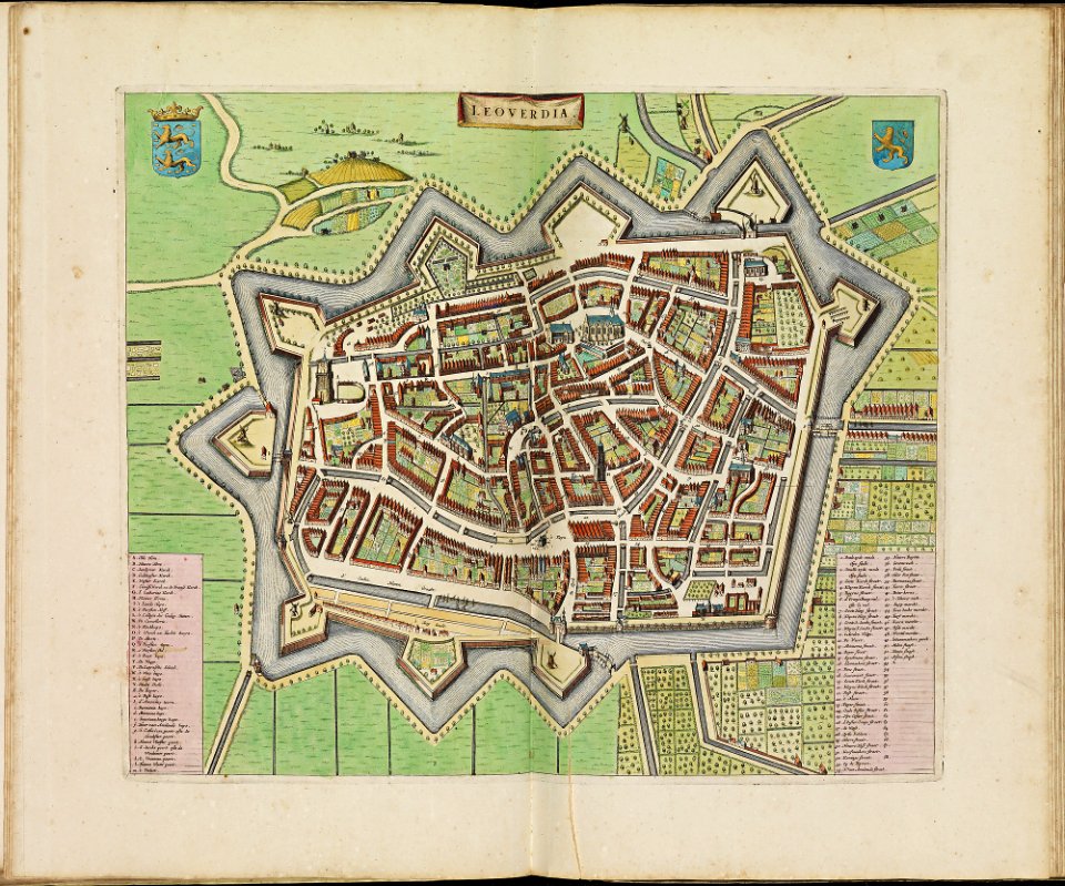
atlas de wit 1698
gemeente atlas van nederland - friesland
old maps of leeuwarden
maps by willem and johannes blaeu
old maps of leeuwarden
old maps of koedijk
old maps of alkmaar
gemeente atlas van nederland - utrecht
maps of oudewater
old maps of amersfoort
hoogland
prints published by claes jansz. visscher (ii) in the rijksmuseum amsterdam
dutch 17th-century prints in the rijksmuseum amsterdam
gemeente atlas van nederland - drenthe
old maps of coevorden
gemeente atlas van nederland - groningen
old maps of delfzijl
maps in the rijksmuseum amsterdam
old maps of germany
1 - 10 of 10
/ 1