Log in
All resources
Create a design
138 Free Images of Maps Of New England
bibliothèque nationale de france
maps in the library of congress
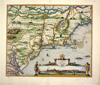
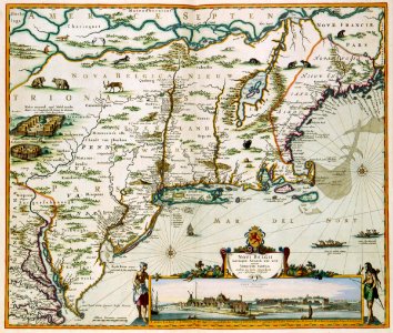
novi belgii, atlas maior
maps by thomas kitchin
thomas kitchin
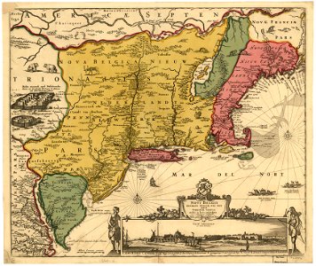
maps of nieuw nederland
copper engravings
nicolaes visscher
new amsterdam
maps made in the 17th century
novi belgii, atlas maior
new netherland
maps by willem and johannes blaeu
hudson valley
old constellation maps
maps by samuel dunn
maps in the library of congress
adriaen van der donck
maps made in the 17th century
adriaen van der donck
maps in the library of congress
adriaen van der donck
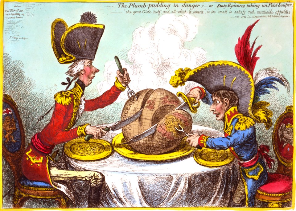
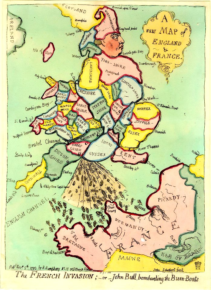
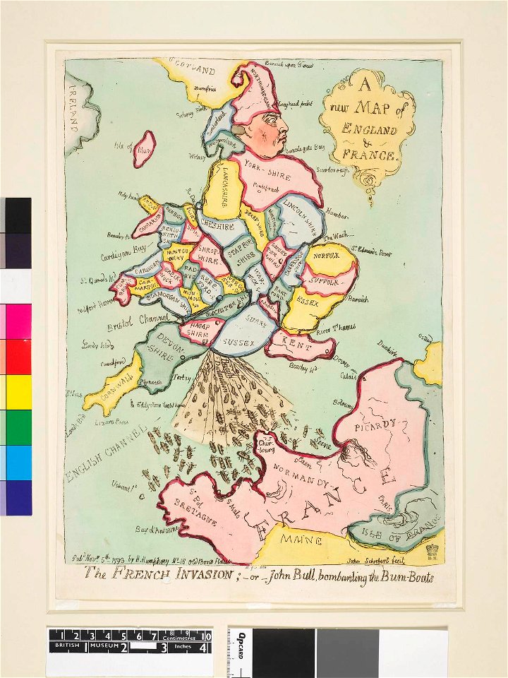
the plumb-pudding in danger (cartoon)
1805-02-26
maps in the library of congress
adriaen van der donck
old maps of the united states
copper engravings
maps of the west-indische compagnie
1800 maps of the united states
lawrence h. slaughter collection of english maps, charts, globes, books and atlases
maps of nieuw nederland
the generall historie of virginia (john smith)
1624 books from london
maps in the library of congress
adriaen van der donck
oil paintings of the royal museums greenwich
realism
maps in the library of congress
adriaen van der donck
1777 maps of new york (state)
1777 maps of new jersey
lawrence h. slaughter collection of english maps, charts, globes, books and atlases
de nieuwe en onbekende weereld
a new & correct map of england and wales (foster)
1750s maps of england
the generall historie of virginia (john smith)
1624 engravings
a set of fifty new and correct maps of england and wales
old county maps of northamptonshire
maps of plymouth, massachusetts
william wood
maps in the british museum
maps by thomas kitchin
frontispieces from england
maps by william faden
maps in the library of congress
1747 maps of new jersey
cary's new itinerary (1815)
1810s maps of england
the generall historie of virginia (john smith)
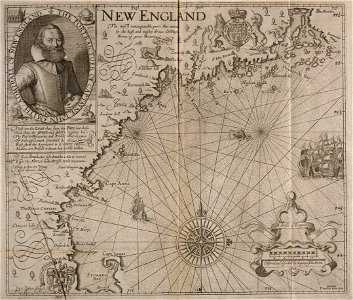
old maps of new england
geological maps of england
william smith (geologist)
maps made in the 17th century
novi belgii, atlas maior
1747 maps of new hampshire
english-language maps
novi belgii, atlas maior
maps of new england
old maps of the united states
copper engravings
maps in the library of congress
1776 maps of new jersey
miscellaneous items in high demand, ppoc, library of congress
maps by claude joseph sauthier
maps in the library of congress
animals on maps
rail transport maps of massachusetts
1845 maps
maps in the library of congress
1776 maps of new jersey
bibliothèque nationale de france
maps by thomas kitchin
maps of north america, nypl collection
novi belgii, atlas maior
old maps of nova belgica et anglia nova
maps by willem and johannes blaeu
maps in the library of congress
1777 maps of north america
old maps of new england
1684
maps by pieter mortier
maps from gallica
old county maps of hertfordshire
maps by thomas kitchin
maps in the library of congress
1776 maps of new jersey
old county maps of hertfordshire
maps by thomas kitchin
maps in the library of congress
1776 maps of new jersey
maps by john cary
1801 maps
maps in the library of congress
1771 maps of north america
lawrence h. slaughter collection of english maps, charts, globes, books and atlases
atlas novus (blaeu)
lawrence h. slaughter collection of english maps, charts, globes, books and atlases
atlas novus (blaeu)
lawrence h. slaughter collection of english maps, charts, globes, books and atlases
atlas novus (blaeu)
the generall historie of virginia (john smith)
1624 engravings
images released by british library images online, march 2014
totius neobelgii nova et accuratissima tabula (1710)
maps in the library of congress
1771 maps of north america
19th-century maps of the isle of wight
william price
maps in the library of congress
1778 maps of new jersey
19th-century maps of gloucestershire
old maps of cheltenham
maps by edward wright
molyneux globes
maps by pieter mortier
maps from gallica
maps by emanuel bowen
negroland
admiralty charts region b: england wales ireland english channel southern north sea
admiralty charts 1401-1600
maps from the earth and its inhabitants, vol. iv
1880s maps of england
maps by thomas kitchin
old maps of hampshire
maps by edward wright
molyneux globes
1806 maps of the united states
maps by john cary
1876 maps of the united states
old maps of new england
maps from the earth and its inhabitants, vol. xvii
anton francesco lucini
maps from the earth and its inhabitants, vol. iv
kingsmead, bath
lawrence h. slaughter collection of english maps, charts, globes, books and atlases
novi belgii, atlas maior
maps by peter lesley
maps by james hall
a class-book of modern geography (1898)
maps of the lake district
a class-book of modern geography (1898)
old maps of the river thames
a class-book of modern geography (1898)
old maps of liverpool
1821 maps of the united states
maps by john cary
maps from the earth and its inhabitants, vol. iv
old maps of hastings, england
old maps of northumberland
maps by thomas kitchin
atlas sive cosmographicae (gerardus mercator, 1623)
maps of north england by gerardus mercator
atlas sive cosmographicae (gerardus mercator, 1623)
maps of england by gerardus mercator
atlas sive cosmographicae (gerardus mercator, 1623)
maps of southeast england by gerardus mercator
historical collections of the state of new jersey (1852)
1852 maps of the united states
maps by willem and johannes blaeu
1610s maps of the americas
lawrence h. slaughter collection of english maps, charts, globes, books and atlases
de nieuwe en onbekende weereld
old maps of the polish-lithuanian commonwealth
1790s maps of poland
19th-century maps of the isle of wight
cary's new itinerary (1815)
19th-century maps of middlesex
cary's new itinerary (1815)
19th-century maps of hampshire
cary's new itinerary (1815)
19th-century maps of somerset
cary's new itinerary (1815)
cary's new itinerary (1815)
19th-century maps of kent
18th-century maps of cornwall
maps by thomas kitchin
old maps of oxfordshire
maps by thomas kitchin
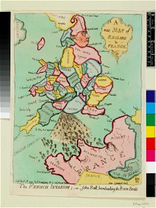
prints by james gillray in the british museum
satirical prints in the british museum
prints by james gillray in the british museum
satirical prints in the british museum
prints by james gillray in the british museum
satirical prints in the british museum
prints by james gillray in the british museum
satirical prints in the british museum
english-language maps
maps by john cary
maps in the library of congress
1777 maps of boston
maps from the earth and its inhabitants, vol. iv
middlesbrough
john rocque's 1748 map of london and adjacent country
remigius parr
john rocque's 1748 map of london and adjacent country
remigius parr
john rocque's 1748 map of london and adjacent country
remigius parr
1 - 100 of 138
Next page
/ 2