Log in
All resources
Create a design
131 Free Images of Old Maps Of New York (state)
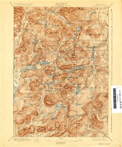
maps of the adirondack mountains
united states geological survey maps
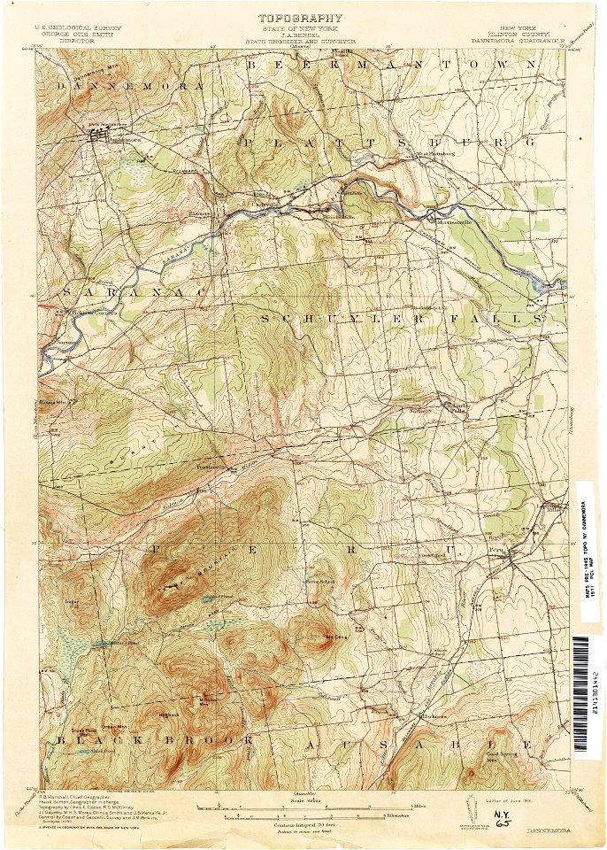
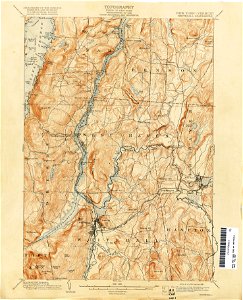
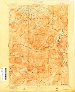
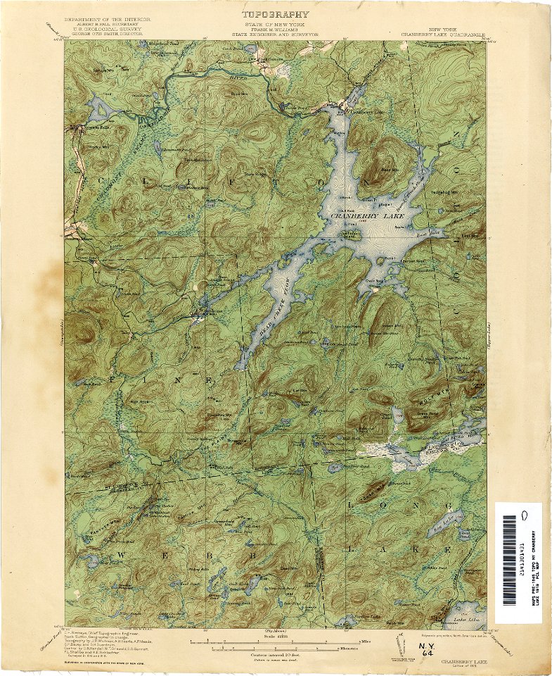
topographic maps of new york (state)
maps in the library of congress
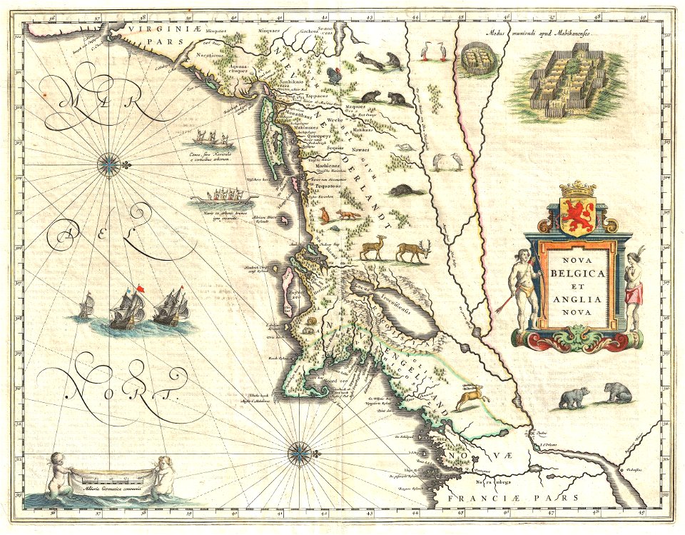
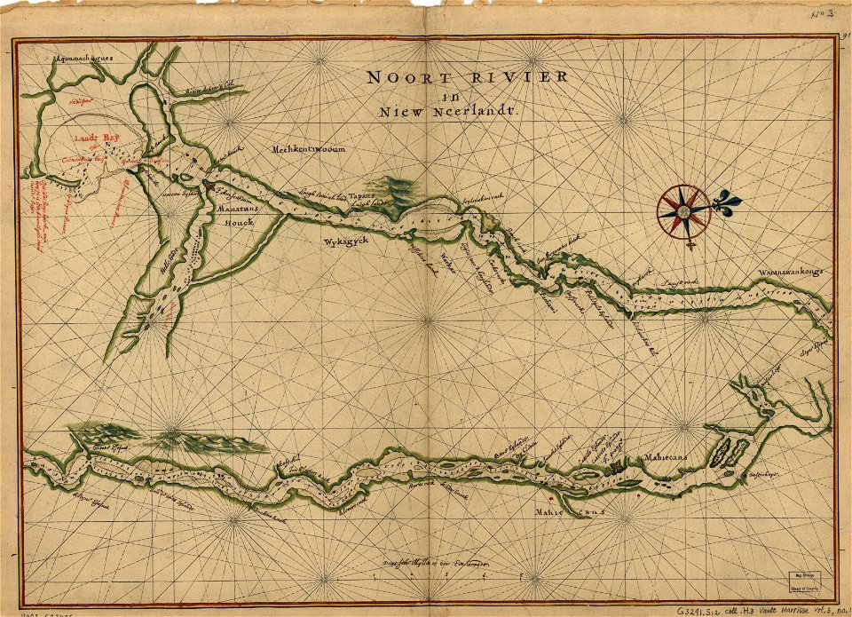
new amsterdam
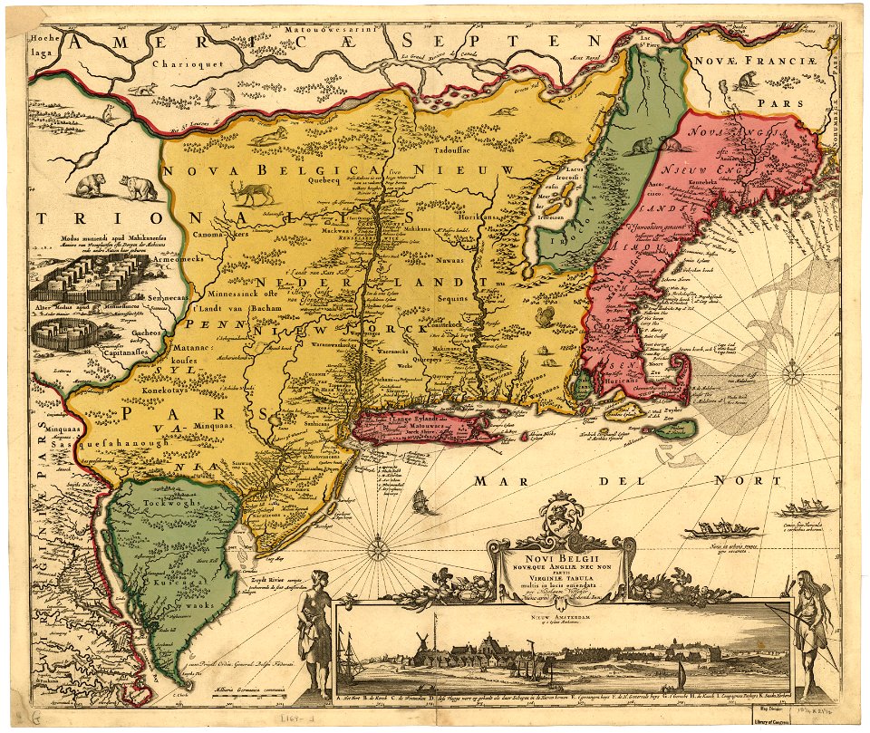
maps by nicolaes visscher i
maps made in the 17th century
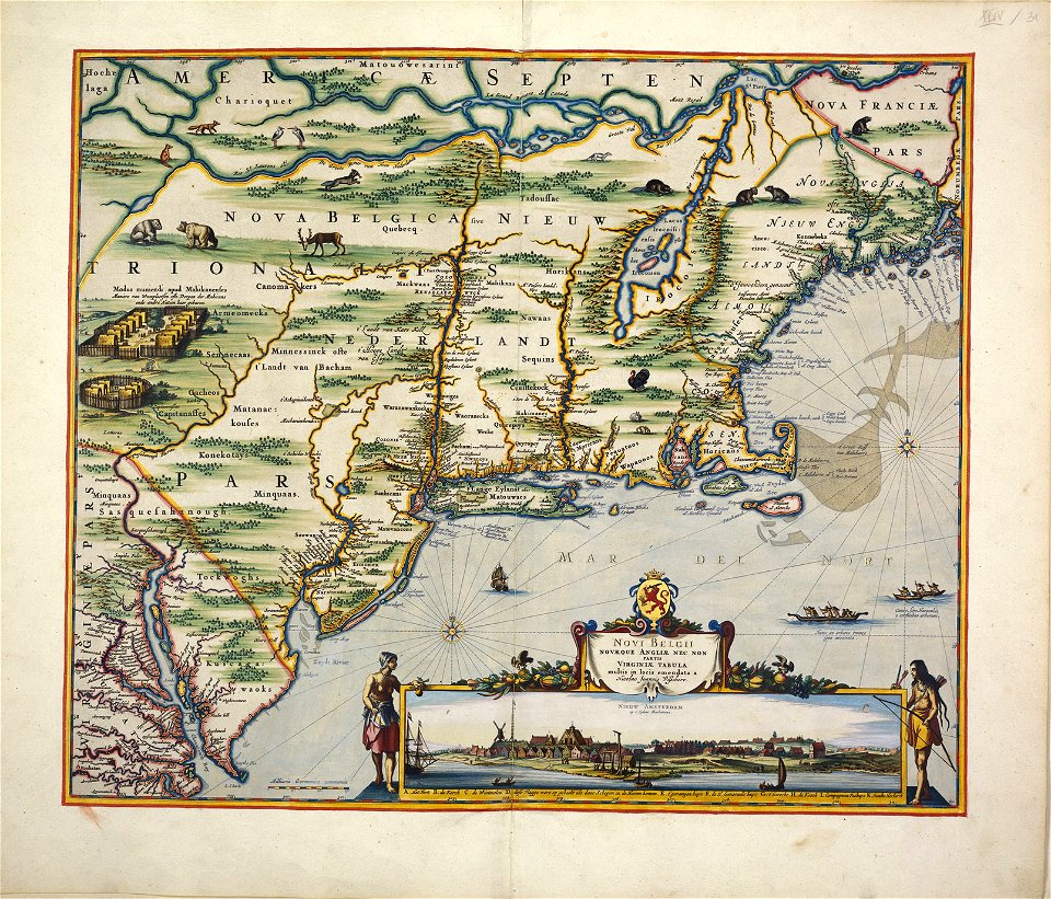
adriaen van der donck
maps of nieuw nederland
dirk janszoon van santen
1639 maps
1670 maps
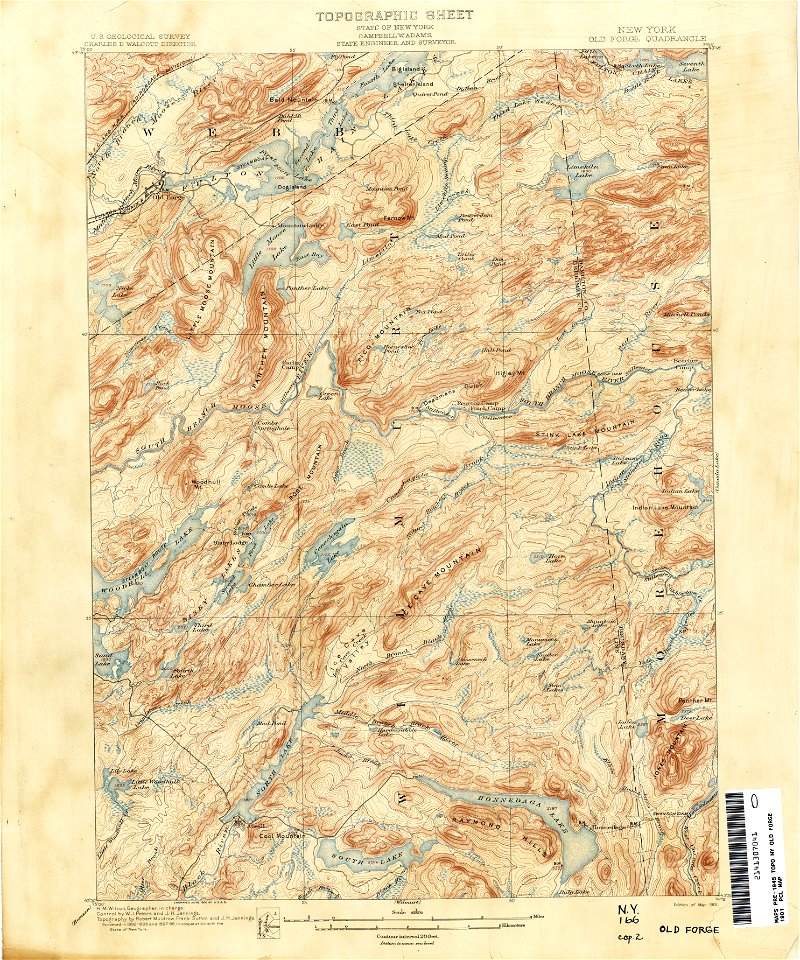
old forge
new york
old maps of new york (state)
new york
united states geological survey maps
old maps of new york (state)
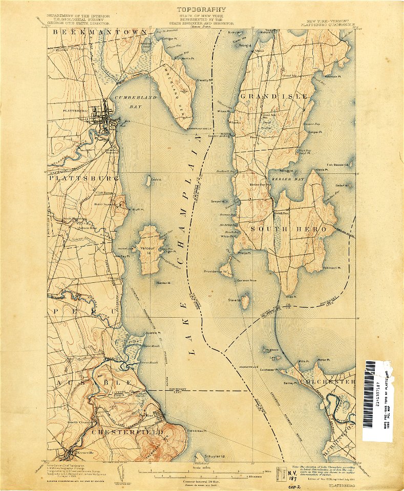
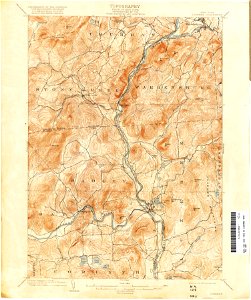
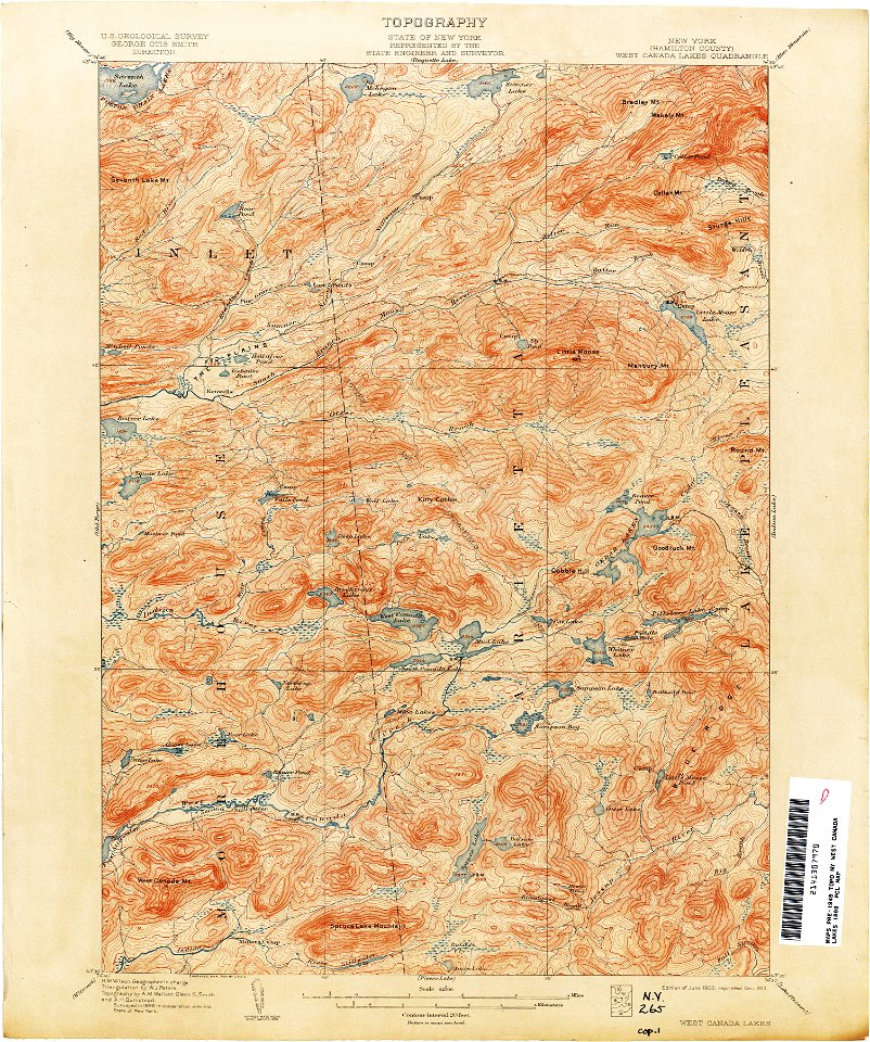
united states geological survey maps
old maps of new york (state)
united states geological survey maps
old maps of new york (state)
united states geological survey maps
old maps of new york (state)
united states geological survey maps
old maps of new york (state)
united states geological survey maps
old maps of new york (state)
united states geological survey maps
old maps of new york (state)
united states geological survey maps
old maps of new york (state)
united states geological survey maps
old maps of new york (state)
united states geological survey maps
old maps of new york (state)
united states geological survey maps
old maps of new york (state)
united states geological survey maps
old maps of new york (state)
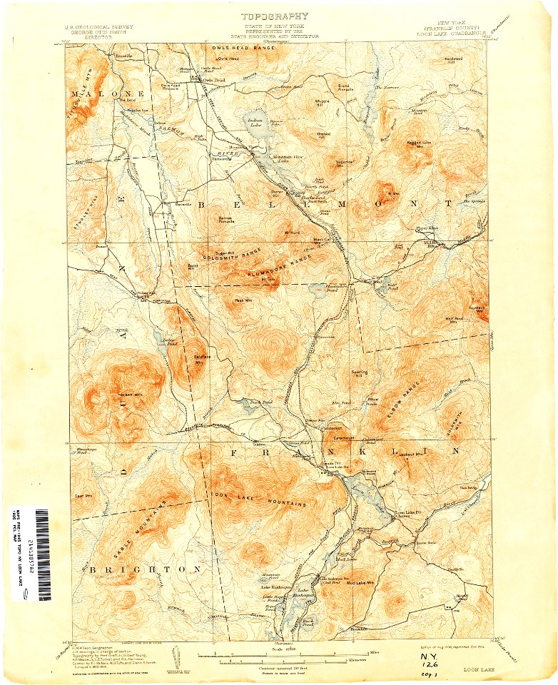
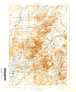
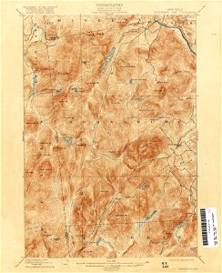
maps of the adirondack mountains
old maps of new york (state)
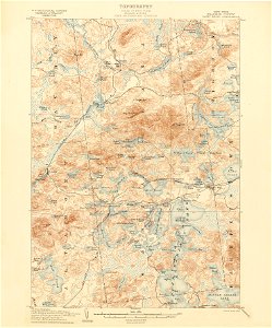
loon lake
new york
old maps of new york (state)
new york
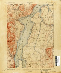
united states geological survey maps
old maps of new york (state)
united states geological survey maps
old maps of new york (state)
united states geological survey maps
old maps of new york (state)
united states geological survey maps
old maps of new york (state)
united states geological survey maps
old maps of new york (state)
united states geological survey maps
old maps of new york (state)
united states geological survey maps
old maps of new york (state)
united states geological survey maps
old maps of new york (state)
united states geological survey maps
old maps of new york (state)
united states geological survey maps
old maps of new york (state)
united states geological survey maps
old maps of new york (state)
united states geological survey maps
old maps of new york (state)
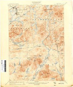
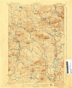
maps of the adirondack mountains
old maps of new york (state)
united states geological survey maps
old maps of new york (state)
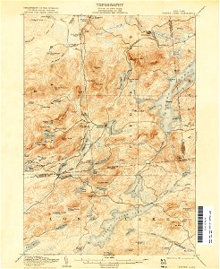
maps of the adirondack mountains
old maps of new york (state)
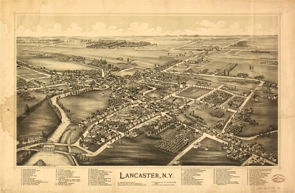
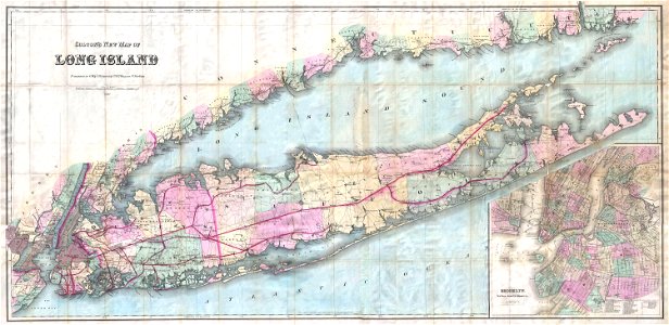
erie county
new york
erie county
new york
maps in the library of congress
old maps of new york (state)
old maps of new york (state)
new york
old maps of new york (state)
new york
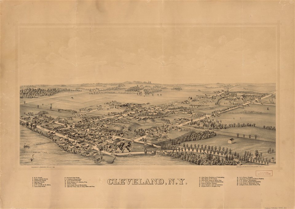
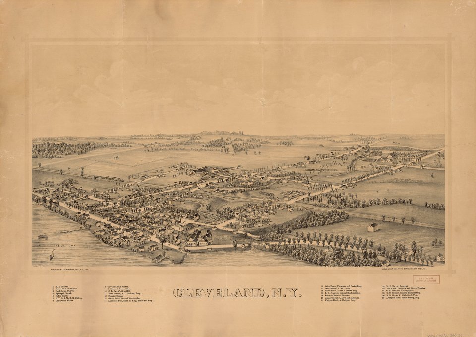
cleveland
new york
old maps of new york (state)
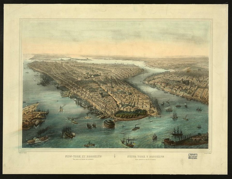
new york city
new york
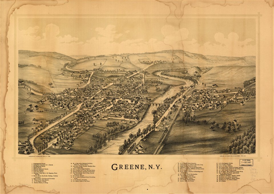
green
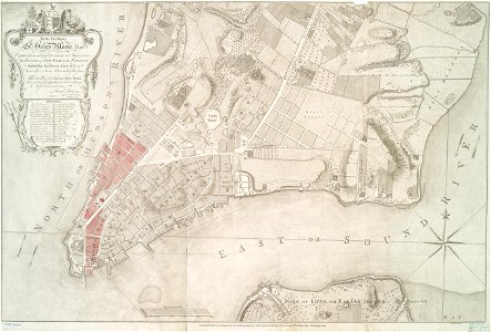
maps by claude joseph sauthier
old maps of new york (state)
maps by claude joseph sauthier
old maps of new york (state)
fires in new york (state)
new york city
images from the new york public library
george hayward
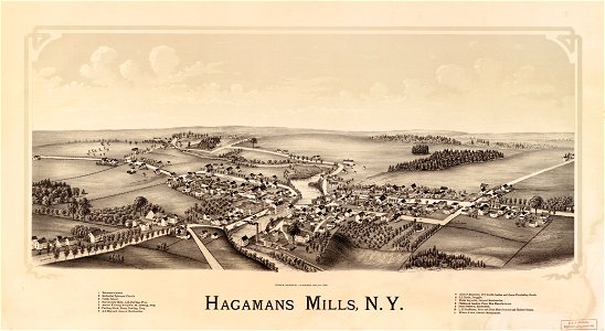
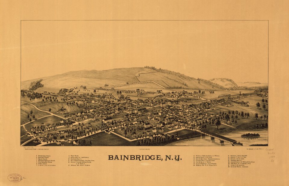
bainbridge
new york
old maps of new york (state)
the palisades (hudson river)
1770 maps
new york
old maps of new york (state)
maps by claude joseph sauthier
old maps of new york (state)
old maps of new york city
english-language maps
old maps of new york (state)
old maps of new york (state)
map images supported by wikimedia uk
1856 maps
maps in the library of congress
old maps of new york (state)
maps in the library of congress
old maps of new york (state)
maps in the library of congress
old maps of new york (state)
new york
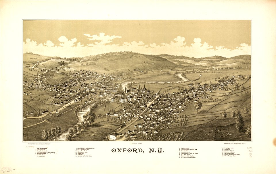
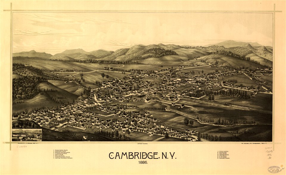
oxford
cambridge
new york
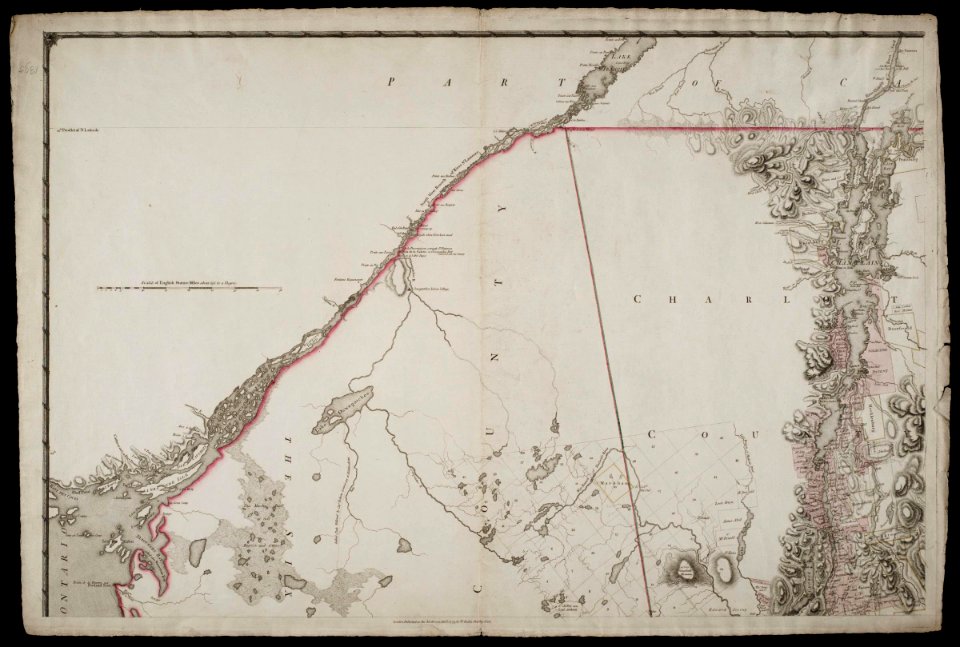
maps in the library of congress
maps of the hudson
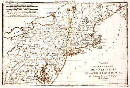
1780 maps of pennsylvania
1780 maps of new jersey
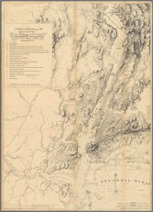
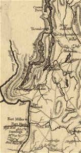
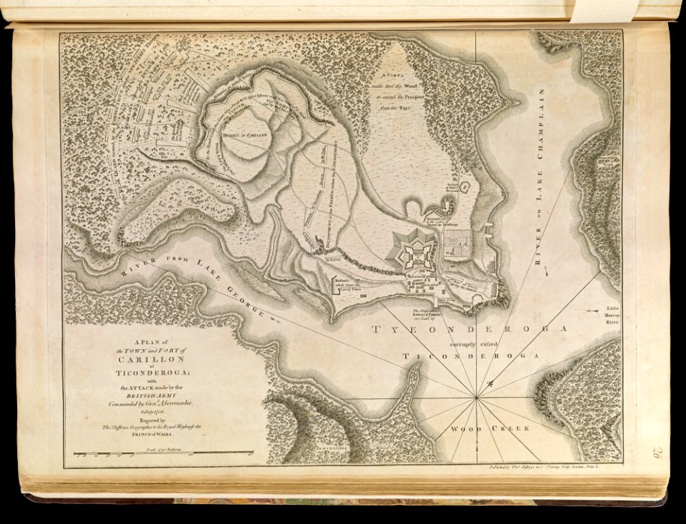
fort ticonderoga
john burgoyne
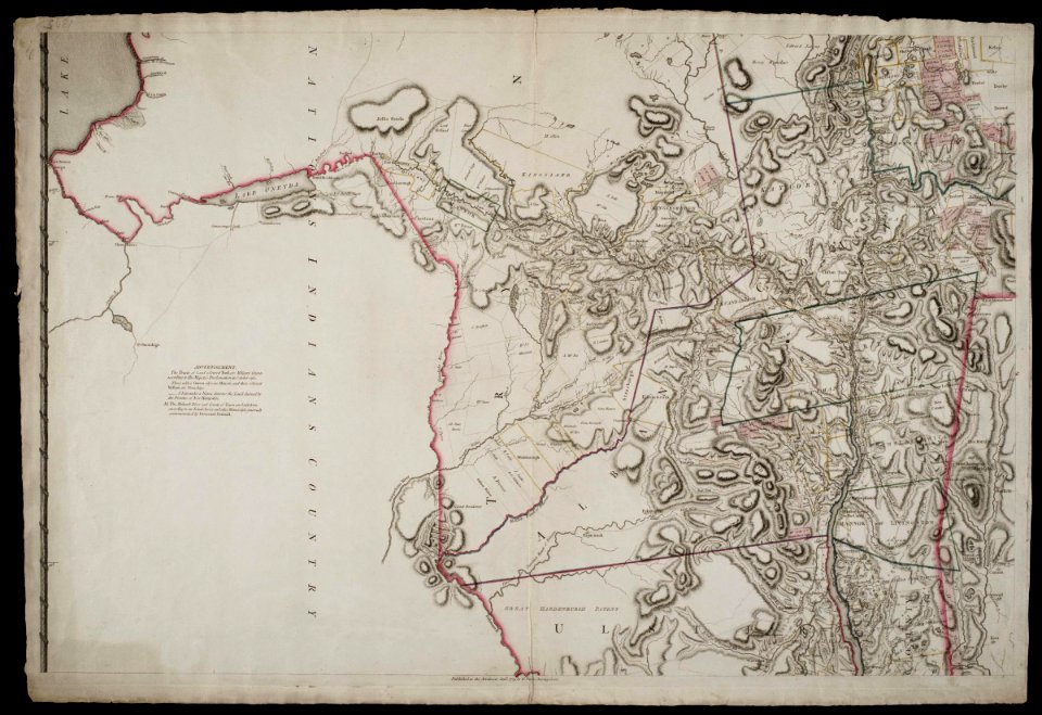
maps in the library of congress
old maps of new york (state)
chromolithograph
new york city
maps in the library of congress
old maps of new york (state)
maps in the library of congress
old maps of new york (state)
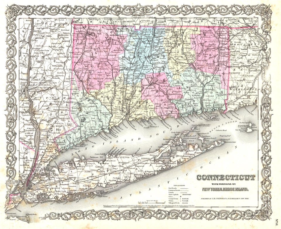
maps by joseph hutchins colton
1880 maps of new york (state)
prints from bonne atlas de toutes les parties at the peace palace library
1780 maps of canada
chromolithograph
currier and ives
copper engraving
beavers in art
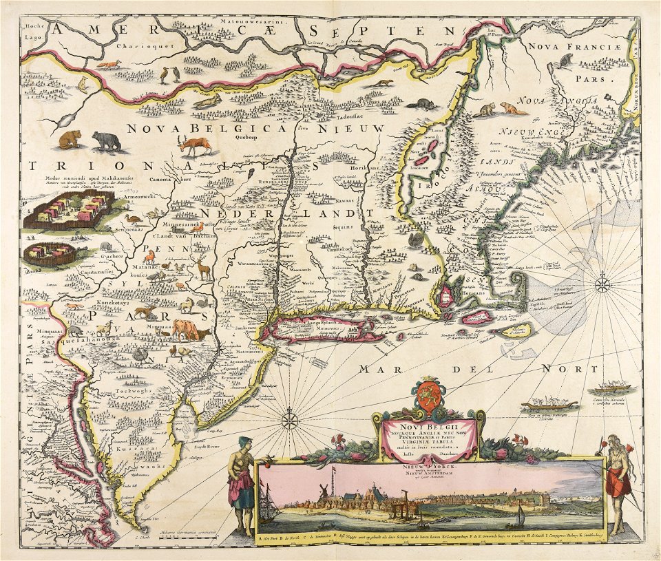
maps by willem and johannes blaeu
hudson valley
new york city
bronx
popular science monthly illustrations/volume 13
1878 maps
old maps of new york (state)
fort ticonderoga
copper engraving
beavers in art
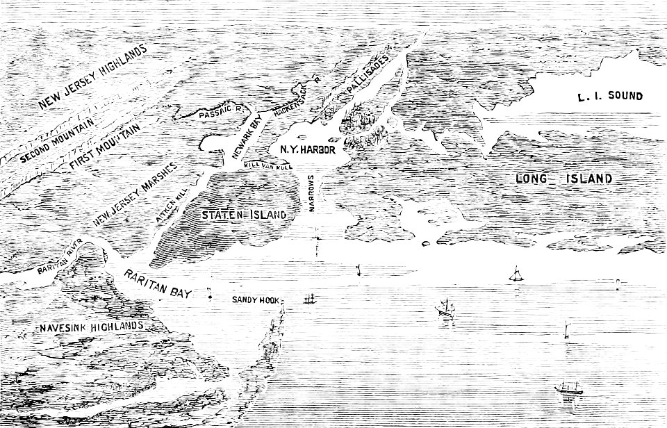
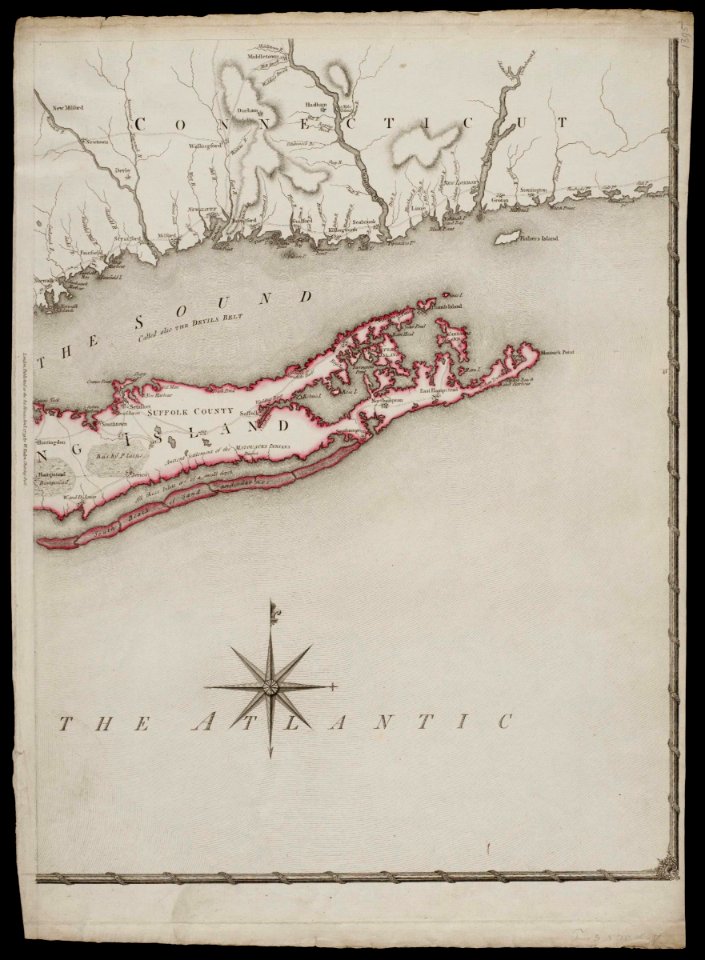
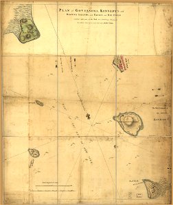
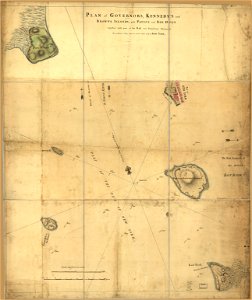
long island sound
block island
copper engraving
beavers in art
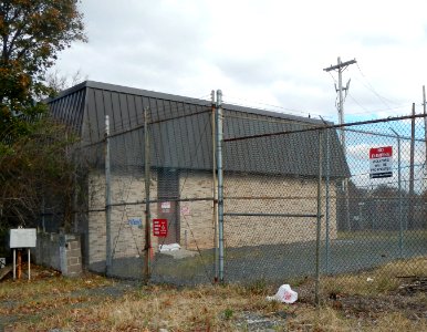
architecture
arched gate
pages with maps
architecture
self-published work
pages with maps
architecture
travel
self-published work
pages with maps
self-published work
pages with maps
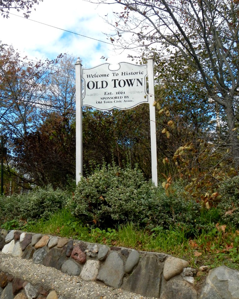
architecture
city
self-published work
pages with maps
pages with maps
car
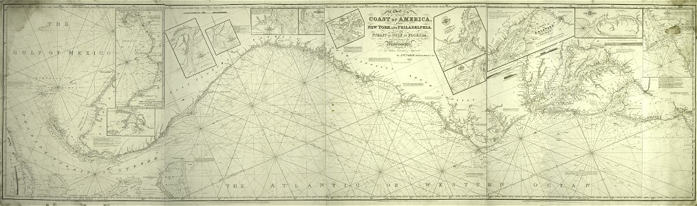
maps in the library of congress
adriaen van der donck
old maps of the american revolution
conflicts in 1778
1895 maps of new york (state)
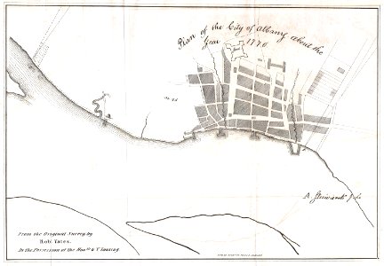
old maps of albany, new york
old constellation maps
maps by samuel dunn
architecture
city
maps in the library of congress
adriaen van der donck
1834 maps of new york (state)
maps of the erie railroad
maps in the library of congress
adriaen van der donck
maps of the west-indische compagnie
1800 maps of the united states
maps in the library of congress
adriaen van der donck
old maps of the american revolution
1777 maps of new york (state)
lawrence h. slaughter collection of english maps, charts, globes, books and atlases
maps of nieuw nederland
maps in the library of congress
adriaen van der donck
maps in the library of congress
adriaen van der donck
1 - 100 of 131
Next page
/ 2