Log in
All resources
Create a design
134 Free Images of Maps Of 18th Century Italy
cartography
italia
engraving
chalcography
grabados
fondo antiguo
calcografía
cartografía
libros del siglo xviii
18th century books
portrait paintings by élisabeth vigée-lebrun (italian royalty)
portraits of children by élisabeth vigée-lebrun
18th-century maps of italy
johann baptist homann
maps made in the 18th century
18th-century maps of italy
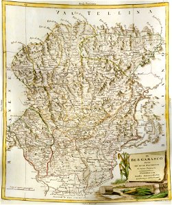
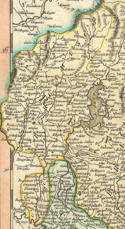
old maps of the province of bergamo
maps by antonio zatta
18th-century maps of italy
old maps of algeria
18th-century maps of italy
frederick de wit
greece
italy
maps made in the 18th century
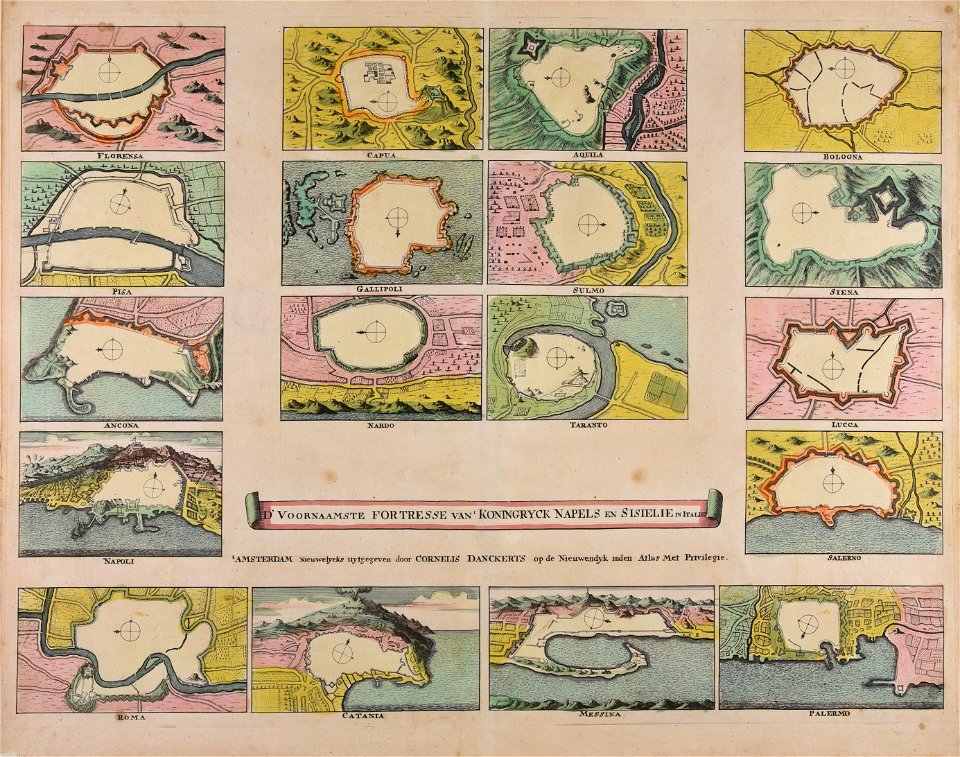
cornelis danckerts (i)
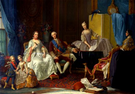
1750s paintings from italy
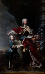
ferdinand
victor amadeus iii of sardinia
ermine (clothing) in art
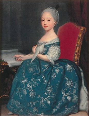
portrait paintings by giuseppe duprà (house of savoy)
portrait paintings of marie josephine louise of savoy
maps by john cary
county of tyrol
maps by john cary
1799 maps
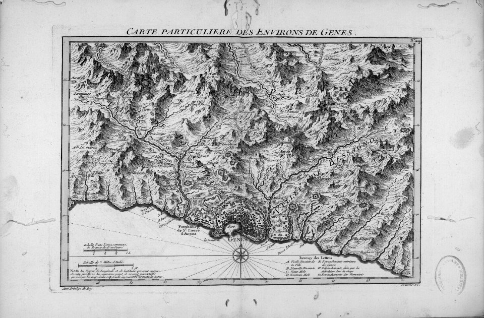
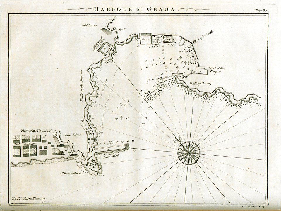
old maps of the republic of genoa
maps of the duchy of milan
portrait paintings by giuseppe duprà (house of savoy)
portrait paintings of marie josephine louise of savoy
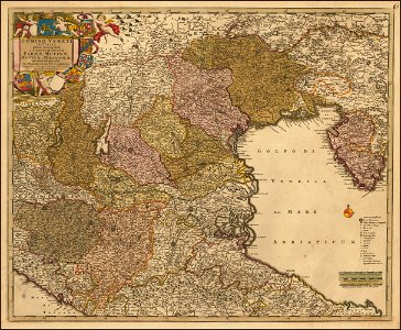
18th-century maps of veneto
1700s maps of slovenia
18th-century maps of veneto
1700s maps of slovenia
maps by john cary
county of tyrol
maps by pieter mortier
maps from gallica
maps in the amsterdam museum
covens en mortier
map of italy by guillaume delisle (1700)
bibliothèque nationale de france
maps by pieter mortier
old maps of genoa
18th-century maps of veneto
1700s maps of slovenia
atlas van der hagen (volume 3)
atlas van der hagen
maps of cagliari by braun & hogenberg
maps of valletta by braun & hogenberg
maps from gallica
pierre mortier
maps
war
maps
war
maps
war
maps
war
maps
war
maps
war
maps
war
maps
war
maps
war
maps
war
maps
war
maps
war
maps
war
maps
war
maps
war
maps
war
maps
war
maps
war
maps
war
maps
war
maps
war
maps
war
maps
war
maps
war
maps
war
maps
war
maps
war
maps
war
maps
war
maps
war
maps
war
maps
war
maps
war
maps
war
maps
war
maps
war
maps
war
maps
war
maps
war
maps
war
maps
war
maps
war
maps
war
maps
war
maps
war
maps
war
maps
war
maps
war
maps
war
maps
war
maps in the rijksmuseum amsterdam
18th-century maps showing history
cartography
maps
cartography
maps
cartography
maps
cartography
maps
cartography
maps
cartography
maps
cartography
maps
cartography
maps
cartography
maps
cartography
maps
cartography
maps
cartography
maps
cartography
maps
cartography
maps
cartography
maps
cartography
maps
cartography
maps
cartography
maps
cartography
maps
cartography
maps
cartography
maps
cartography
maps
cartography
maps
1 - 100 of 134
Next page
/ 2


![Stadsprofiel van] VENETIA, Joan Blaeu, 1704](https://cdn.creazilla.com/illustrations/10000311106/stadsprofiel-van-venetia-joan-blaeu-1704-md.jpeg)
![Calaris; Malta; Rhodes; Famagusta / [Georg Braun]; [Franz Hogenberg]](https://cdn.creazilla.com/illustrations/10000490984/calaris-malta-rhodes-famagusta-georg-braun-franz-hogenberg-md.jpg)