Log in
All resources
Create a design
58 Free Images of Maps Made In The 16th Century
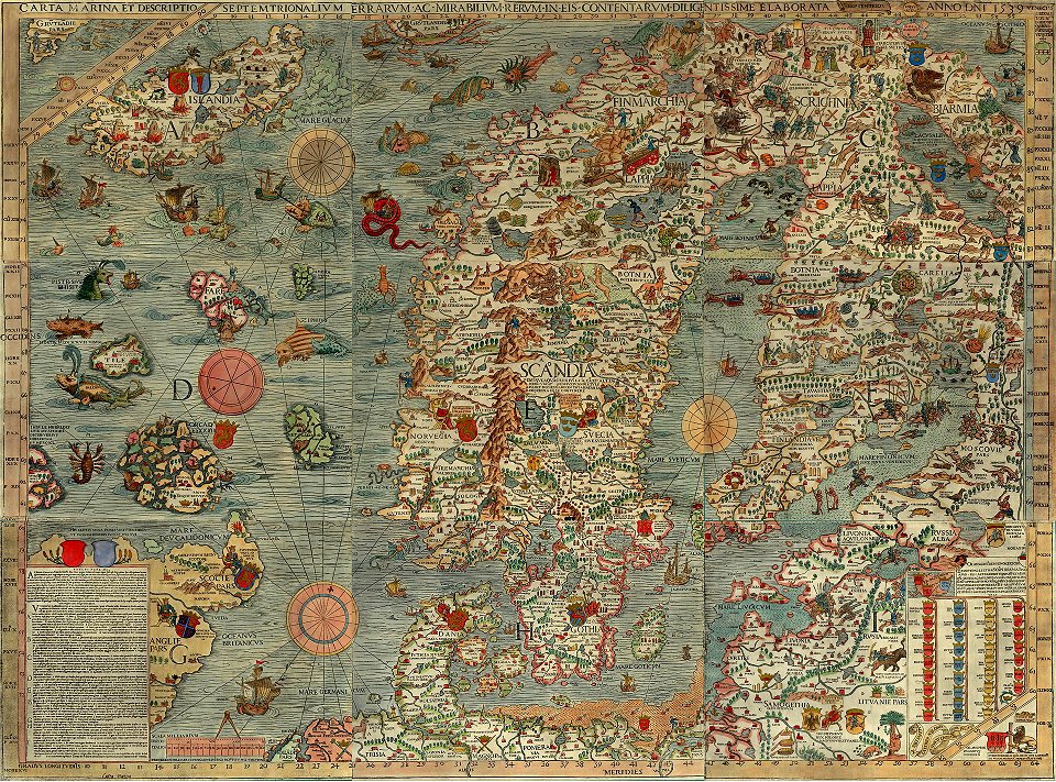
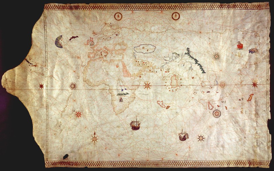
portolan charts made in the 16th century
provided by landsbókasafn íslands
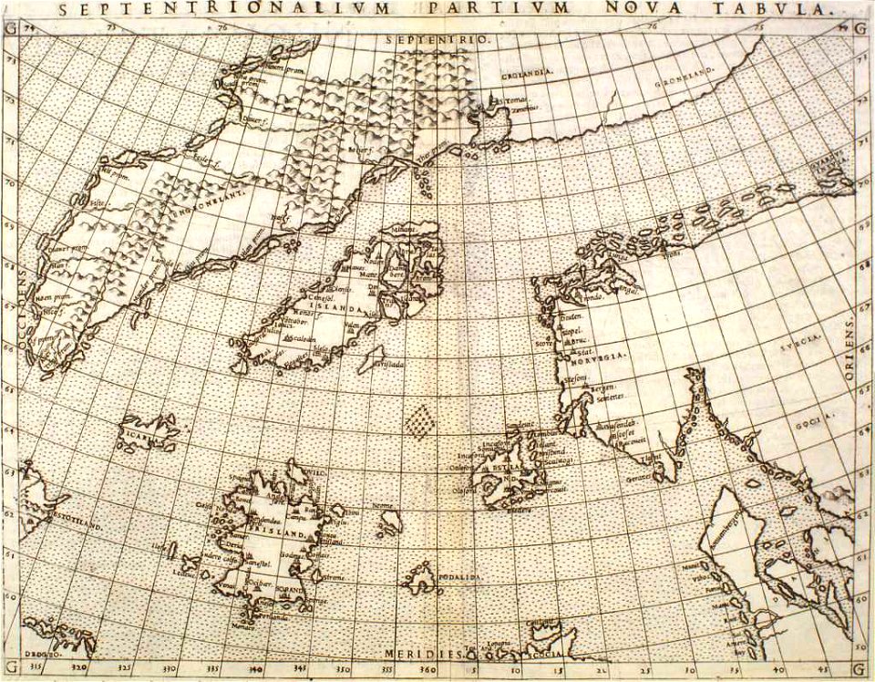
16th-century maps of iceland
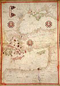
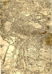
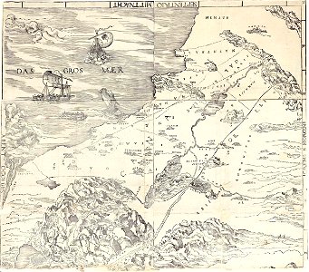
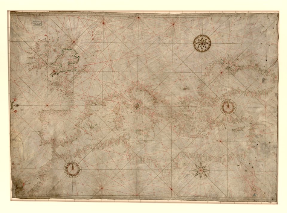
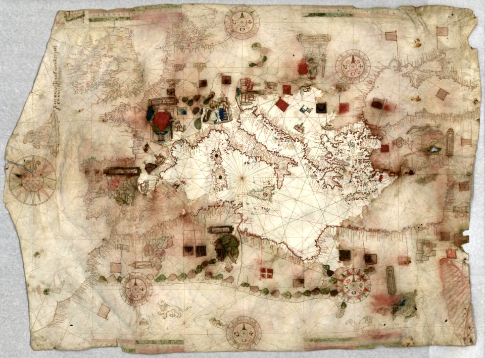
16th-century maps of the mediterranean sea
landen und völckeren chronick wirdiger thaaten beschreybung
gemeiner loblicher eydgnoschafft stetten
history
historical
latin-language maps
maps in the library of congress
the voyage of the vega round asia and europe
third voyage of willem barentsz
provided by landsbókasafn íslands
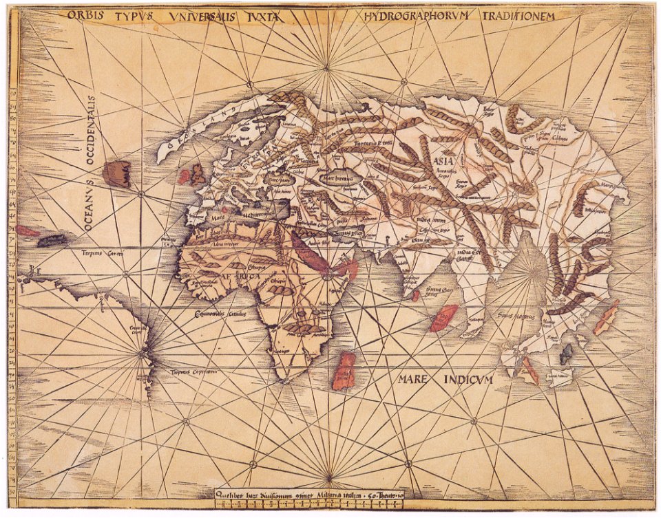
maps made in the 16th century
provided by landsbókasafn íslands
maps made in the 16th century
maps made in the 16th century
1551
maps made in the 16th century
philips galle
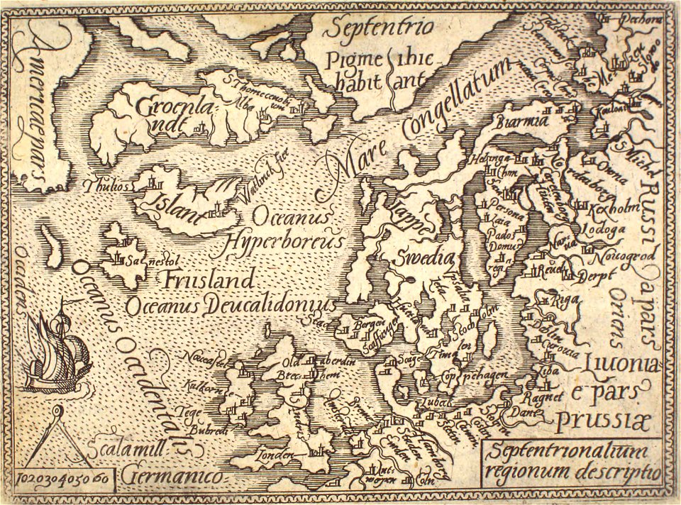
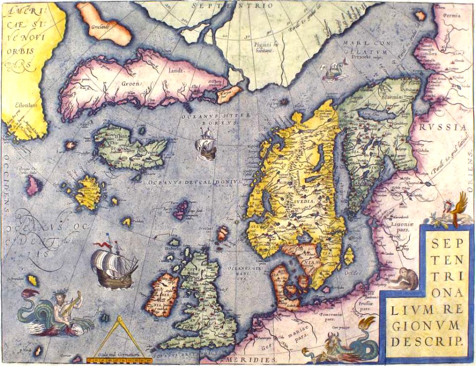
old maps of scandinavia
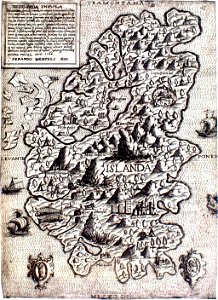
old maps of iceland
16th-century maps of the black sea
maps made in the 16th century
maps made in the 16th century
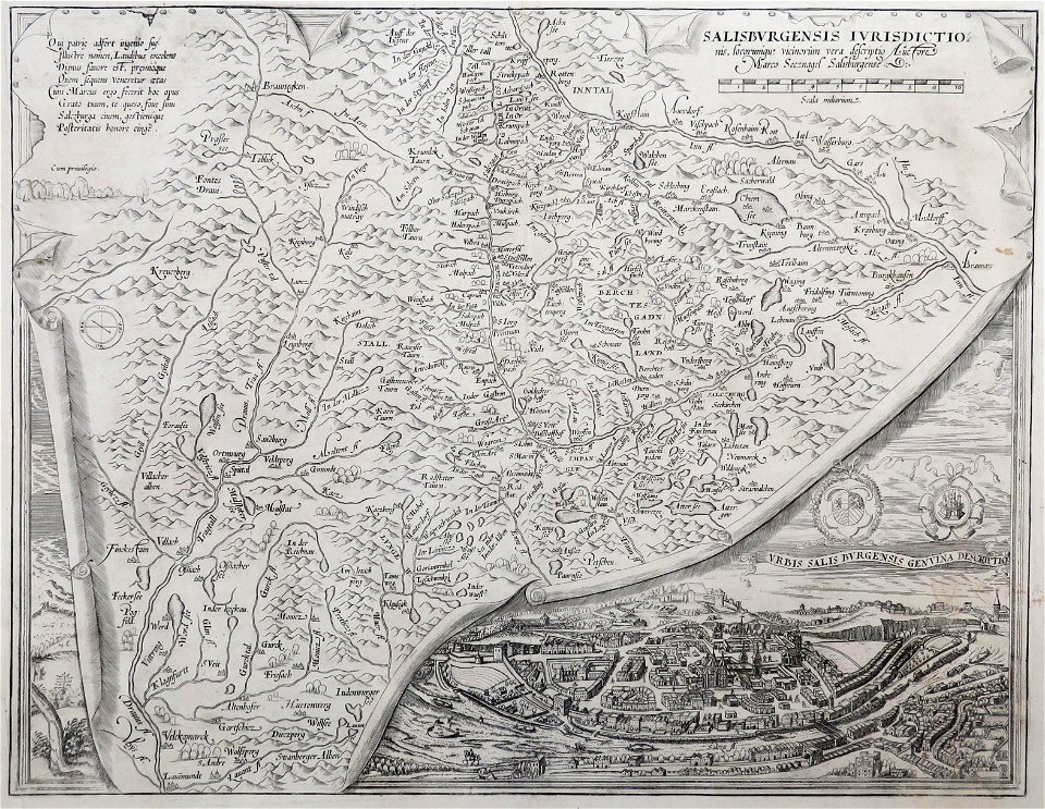
old maps of salzburg (state)
maps made in the 16th century
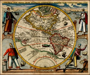
maps by martin waldseemüller
pointing in art
theodor de bry
16th-century maps of the black sea
maps in the library of congress
old maps of iceland
kraken
maps made in the 16th century
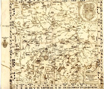
old maps of bavaria
old maps of the arabian peninsula
maps of midian
maps made in the 16th century
ignazio danti
maps made in the 16th century
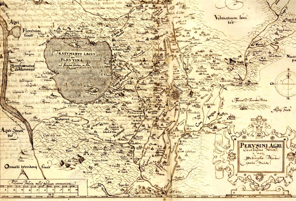
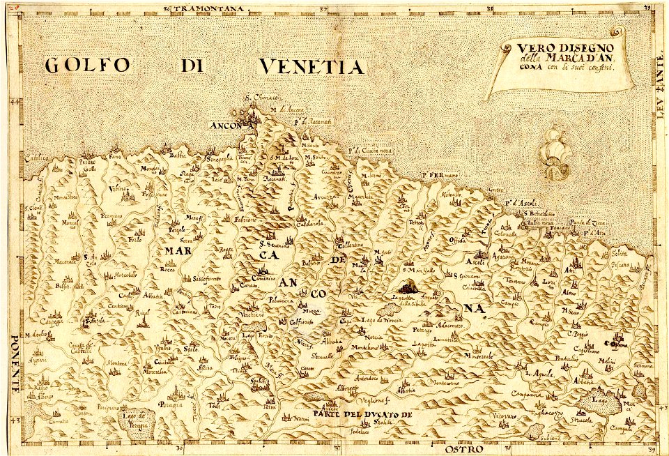
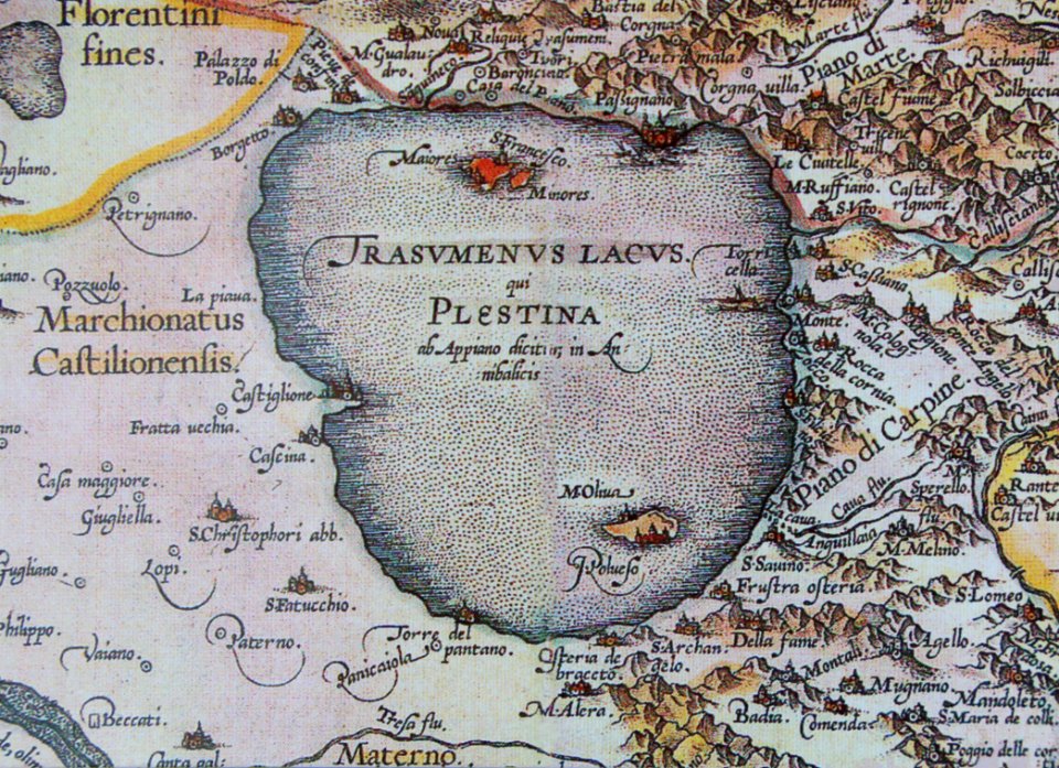
maps of the march of ancona
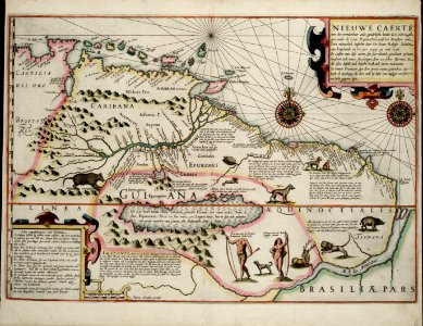
old maps of guyana
el dorado
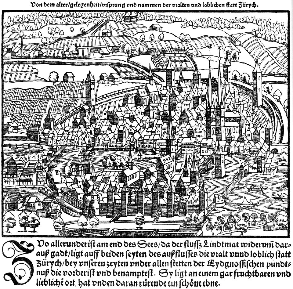
old maps of the canton of zürich
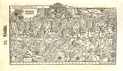
old maps of switzerland
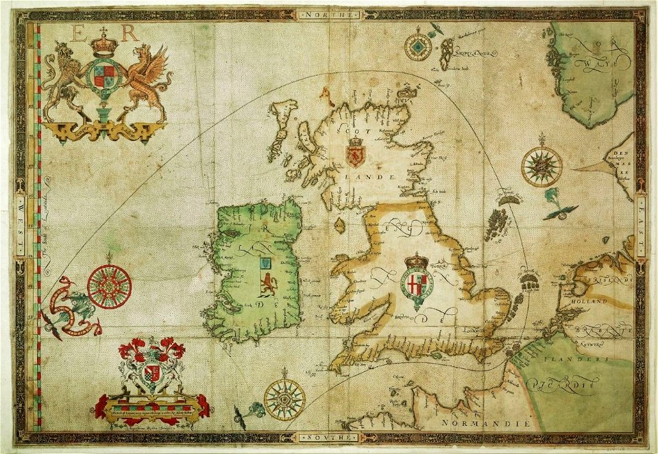
the track of the armada around britain and ireland
london
maps made in the 16th century
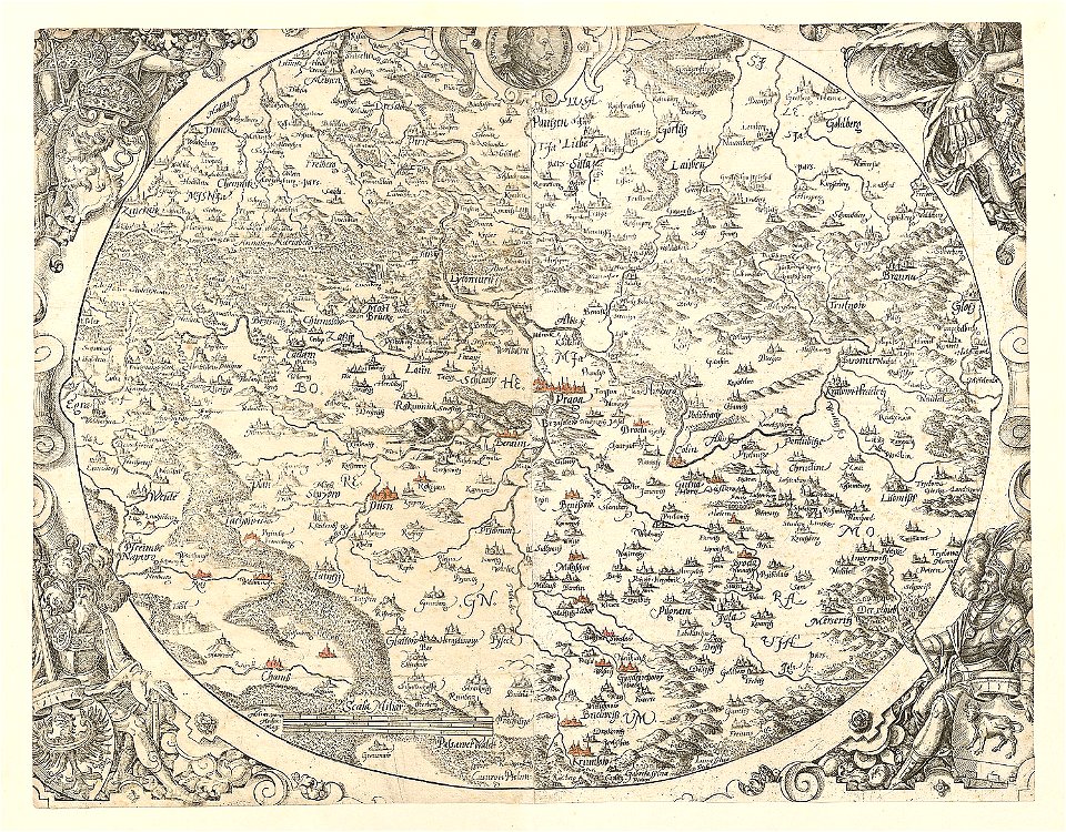
old maps of bohemia
levante
sodom
old maps of the canton of zürich
maps made in the 16th century
maps made in the 16th century
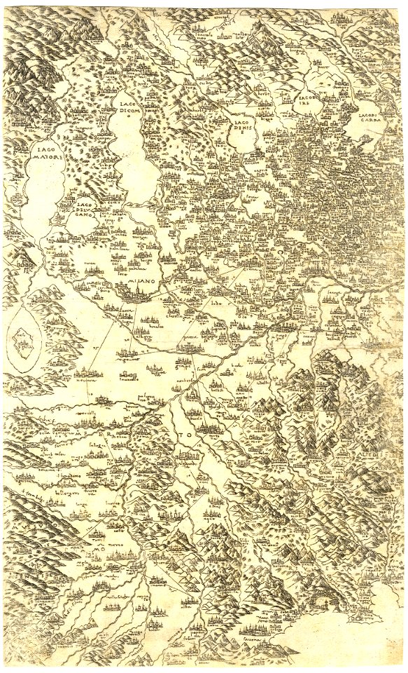
old maps of lombardy
historical images of solothurn
solothurn
maps made in the 16th century
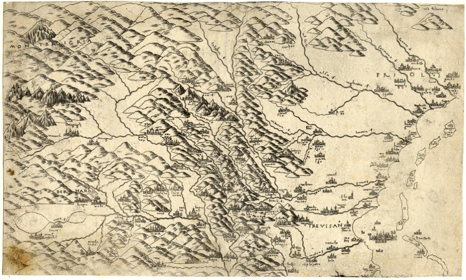
old maps of veneto
maps of midian
darts
maps made in the 16th century
old maps of lazio
maps made in the 16th century
zürich in art
maps made in the 16th century
old maps of switzerland
crowned eagles argent
pictorial maps
metal
gold
diego gutiérrez
renaissance
16th-century maps of guyana
old maps of french guiana
16th-century maps of the iberian peninsula
16th-century maps of spain
maps by christian sgrothen
maps of erkelenz
maps made in the 16th century
johannes ruysch
maps by christian sgrothen
maps of erkelenz
maps in civica raccolta delle stampe achille bertarelli (milan)
mdlxxiii (numeral)
historical
history
maps made in the 16th century
johannes ruysch
historical
history
historical
history
historical
history
historic views of erkelenz
maps by christian sgrothen
perusinus ac tifernas (galleria delle carte geografiche)
ignazio danti
historical
history
maps of bremen by braun & hogenberg
maps made in the 16th century
prints by ambrogio brambilla
maps in the british museum
crux (constellation)
willem blaeu
columba (constellation)
willem blaeu
eran laor cartographic collection
claes jansz. visscher (ii)
atlas ou representation du monde universel t. 1 (1633)
maps of england by gerardus mercator
maps of novaya zemlya
1590s maps
maps of the arctic by gerardus mercator
maps by hendrik hondius the younger
mappe-monde geo-hydrographique (sanson and jaillot, 1674)
cartography of france
1696 maps of the caribbean
1690s maps of mexico
sailing ships of indonesia
ships on maps
mappe-monde geo-hydrographique (sanson and jaillot, 1674)
1 - 58 of 58
/ 1


![Gerardi Mercatoris and I. Hondii Atlas or Representation of the Universal World, and of the Parts of It, Made in Tables and Descriptions Very Ample, and Exact: Divided into Two Volumes [...]. [t. 1].](https://cdn.creazilla.com/illustrations/10000720637/gerardi-mercatoris-and-i-hondii-atlas-or-representation-of-the-universal-world-and-of-the-parts-of-it-made-in-tables-and-descriptions-very-ample-and-exact-divided-into-two-volumes-t-1-sm.webp)


