Log in
All resources
Create a design
10 Free Images of 17th Century Maps Of Yorkshire
gerard valck
maps by pieter schenk (i)
atlantis magni tomus secundus (biblioteca comunale di trento)
maps made in the 17th century
atlas maior, vol 5 (england) - joan blaeu, 1667 - bl 114.h(star).5
copper engraving print
british library
joan blaeu
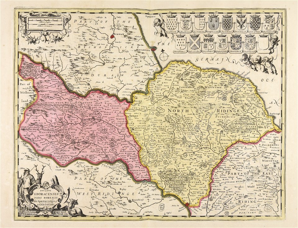
old county maps of the north riding of yorkshire
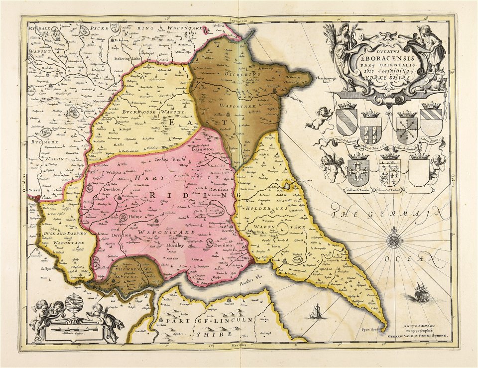
old county maps of the east riding of yorkshire
maps made in the 17th century
gerard valck
maps made in the 17th century
gerard valck
maps made in the 17th century
gerard valck
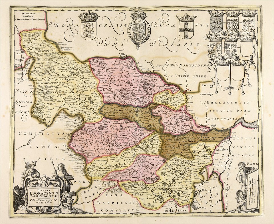
old county maps of the west riding of yorkshire
17th-century maps of yorkshire
old county maps of the east riding of yorkshire
17th-century maps of yorkshire
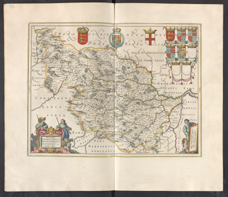
atlas maior, vol 5 (england) - joan blaeu, 1667 - bl 114.h(star).5
17th-century maps of yorkshire
atlas maior, vol 5 (england) - joan blaeu, 1667 - bl 114.h(star).5
17th-century maps of yorkshire
atlas maior, vol 5 (england) - joan blaeu, 1667 - bl 114.h(star).5
17th-century maps of yorkshire
atlas maior, vol 5 (england) - joan blaeu, 1667 - bl 114.h(star).5
17th-century maps of yorkshire
old county maps of the north riding of yorkshire
maps made in the 17th century
1 - 10 of 10
/ 1