Log in
All resources
Create a design
33 Free Images of 17th Century Maps Of Sweden
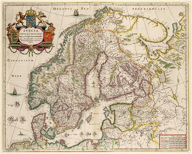
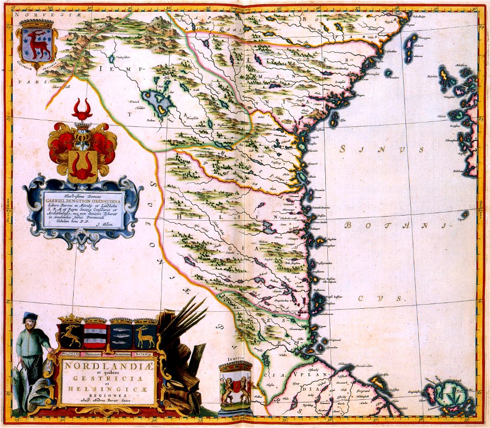
atlas maior, vol 2 (sweden, russia, poland, eastern europe, and greece) - joan blaeu, 1667 - bl 114.h(star).2
copper engraving print
british library
joan blaeu
17th-century maps of finland
17th-century maps of estonia
atlantis magni tomus primus (biblioteca comunale di trento)
moses pitt
17th-century maps of the baltic sea
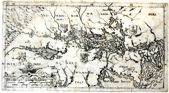
erik dahlbergh
the voyage of the vega round asia and europe
third voyage of willem barentsz
maps by willem and johannes blaeu
copper engraving
17th-century maps of finland
17th-century maps of estonia
17th-century maps of finland
description de l'universe
stockholm
mälaren
nicolaes visscher ii
abraham goos
historical coats of arms of denmark
royal coats of arms of sweden
atlantis magni tomus primus (biblioteca comunale di trento)
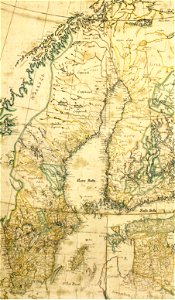
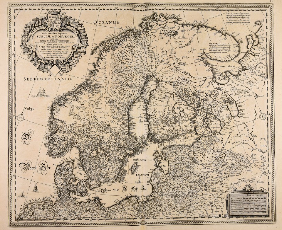
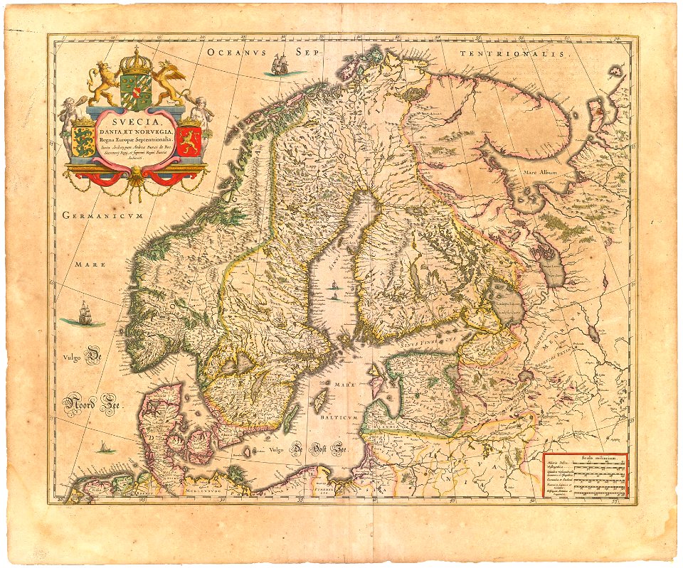
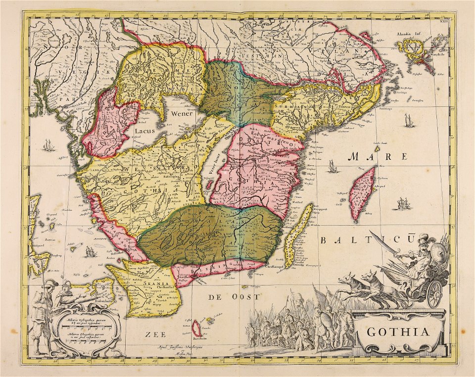
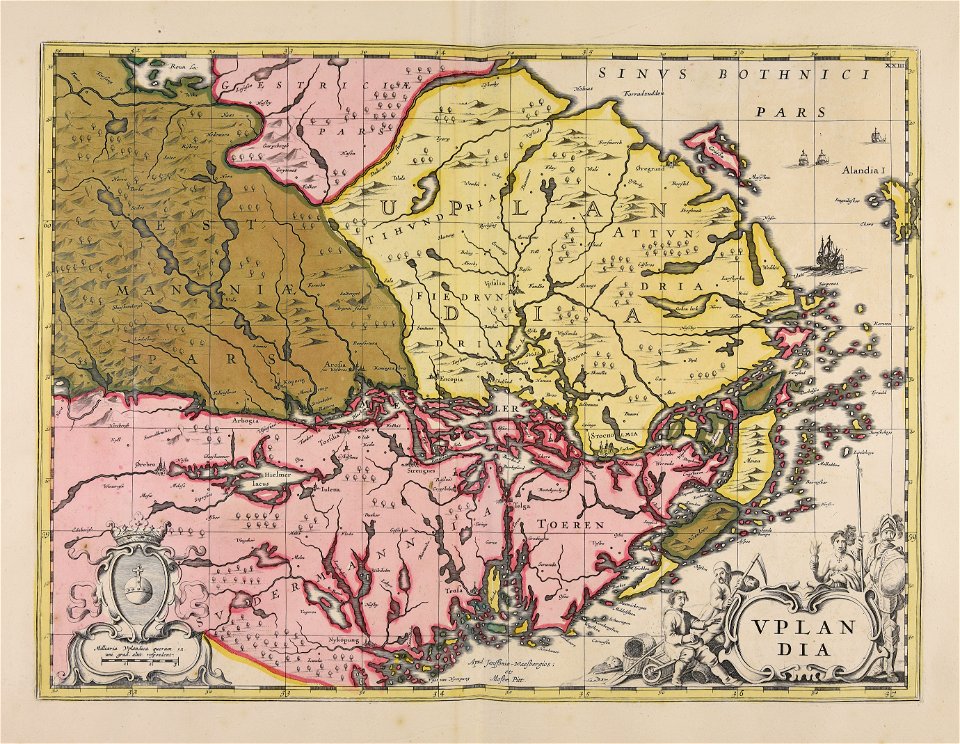
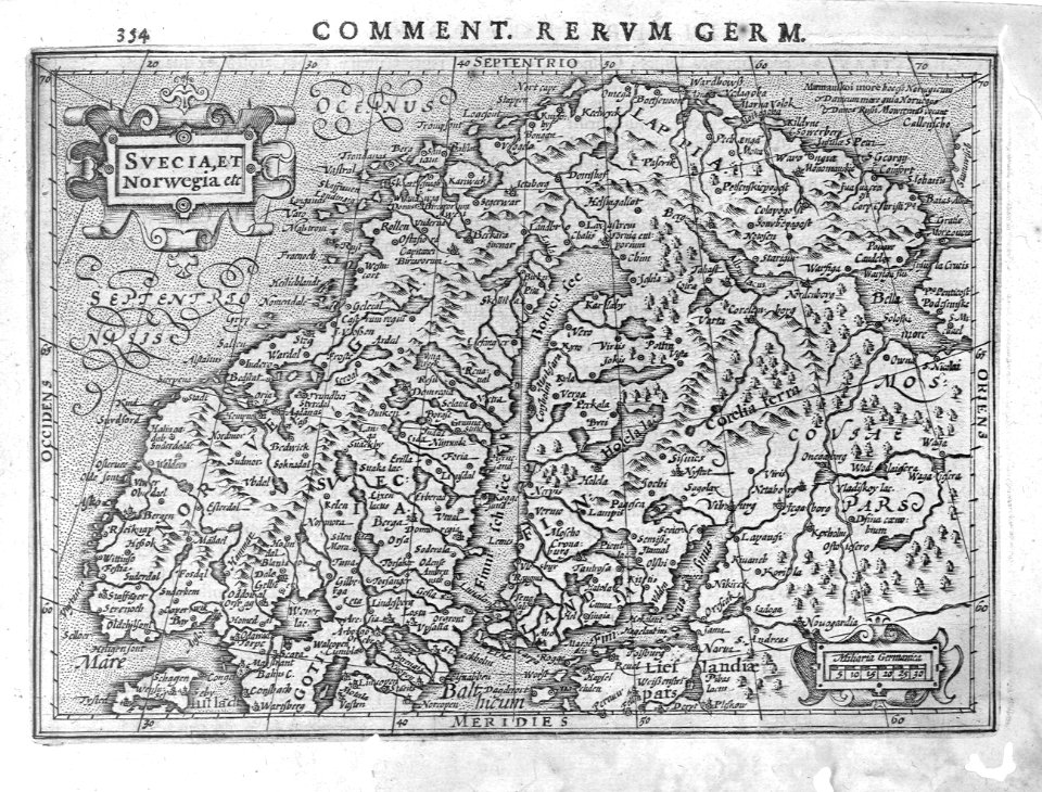
17th-century maps of sweden
atlantis magni tomus primus (biblioteca comunale di trento)
17th-century maps of sweden
atlantis magni tomus primus (biblioteca comunale di trento)
17th-century maps of sweden
maps with cartouches
atlas van der hagen
christina of sweden
rené descartes
17th-century maps of estonia
old maps of latvia
maps in the national archives of sweden
erik dahlbergh
17th-century maps of sweden
1660s maps of norway
den danske hærs historie til nutiden og den norske hærs historie indtil 1814
maps from the mechanical curator collection
suecia antiqua et hodierna, volume 1
17th-century maps of sweden
maps in the national archives of sweden
erik dahlbergh
atlas maior, vol 2 (sweden, russia, poland, eastern europe, and greece) - joan blaeu, 1667 - bl 114.h(star).2
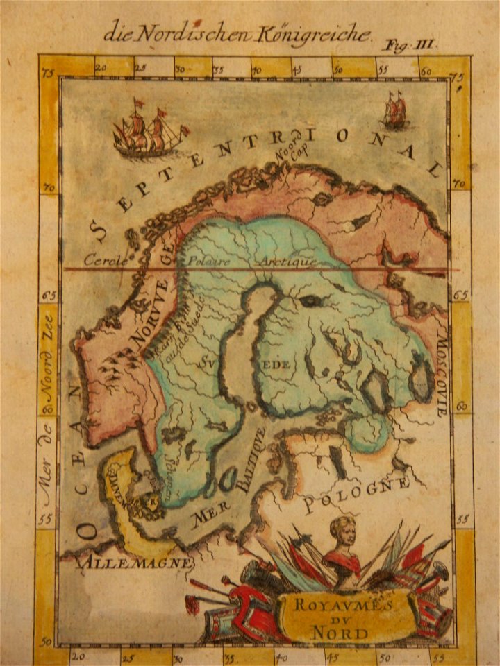
17th-century maps of scandinavia
17th-century maps of europe
latin-language maps
atlas maior, vol 2 (sweden, russia, poland, eastern europe, and greece) - joan blaeu, 1667 - bl 114.h(star).2
17th-century maps of estonia
atlas maior, vol 2 (sweden, russia, poland, eastern europe, and greece) - joan blaeu, 1667 - bl 114.h(star).2
17th-century maps of scandinavia
1656 in berlin
1656 maps
atlas maior, vol 2 (sweden, russia, poland, eastern europe, and greece) - joan blaeu, 1667 - bl 114.h(star).2
17th-century maps of finland
atlas maior, vol 2 (sweden, russia, poland, eastern europe, and greece) - joan blaeu, 1667 - bl 114.h(star).2
17th-century maps of prussia
cartography
maps
atlas maior, vol 2 (sweden, russia, poland, eastern europe, and greece) - joan blaeu, 1667 - bl 114.h(star).2
17th-century maps of hungary
atlas maior, vol 2 (sweden, russia, poland, eastern europe, and greece) - joan blaeu, 1667 - bl 114.h(star).2
17th-century maps of greece
atlas maior, vol 2 (sweden, russia, poland, eastern europe, and greece) - joan blaeu, 1667 - bl 114.h(star).2
17th-century maps of romania
atlas maior, vol 2 (sweden, russia, poland, eastern europe, and greece) - joan blaeu, 1667 - bl 114.h(star).2
17th-century maps of the aegean sea
atlas maior, vol 2 (sweden, russia, poland, eastern europe, and greece) - joan blaeu, 1667 - bl 114.h(star).2
17th-century maps of poland
cartography
maps
atlas maior, vol 2 (sweden, russia, poland, eastern europe, and greece) - joan blaeu, 1667 - bl 114.h(star).2
17th-century maps of the aegean sea
1 - 33 of 33
/ 1