Log in
All resources
Create a design
8 Free Images of 17th Century Maps Of Estonia
maps of livonia
17th-century maps of finland
old maps of latvia
17th-century maps of latvia
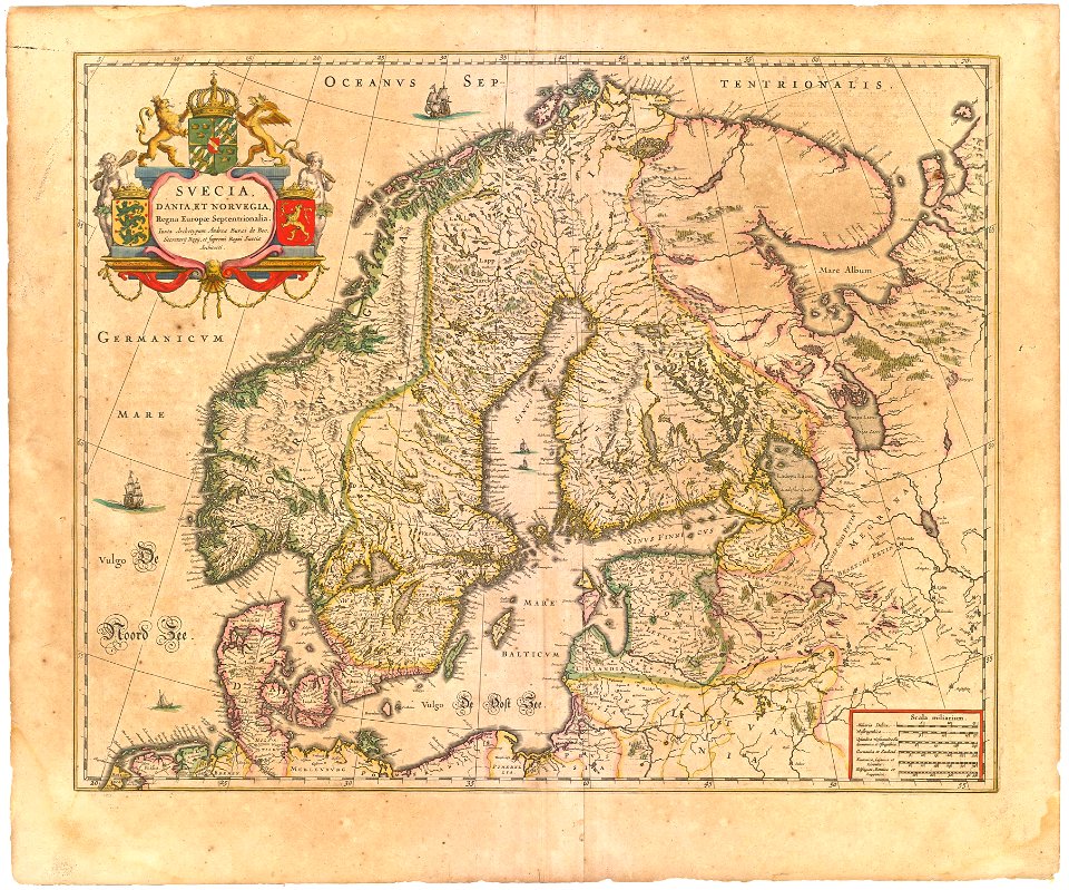
maps by willem and johannes blaeu
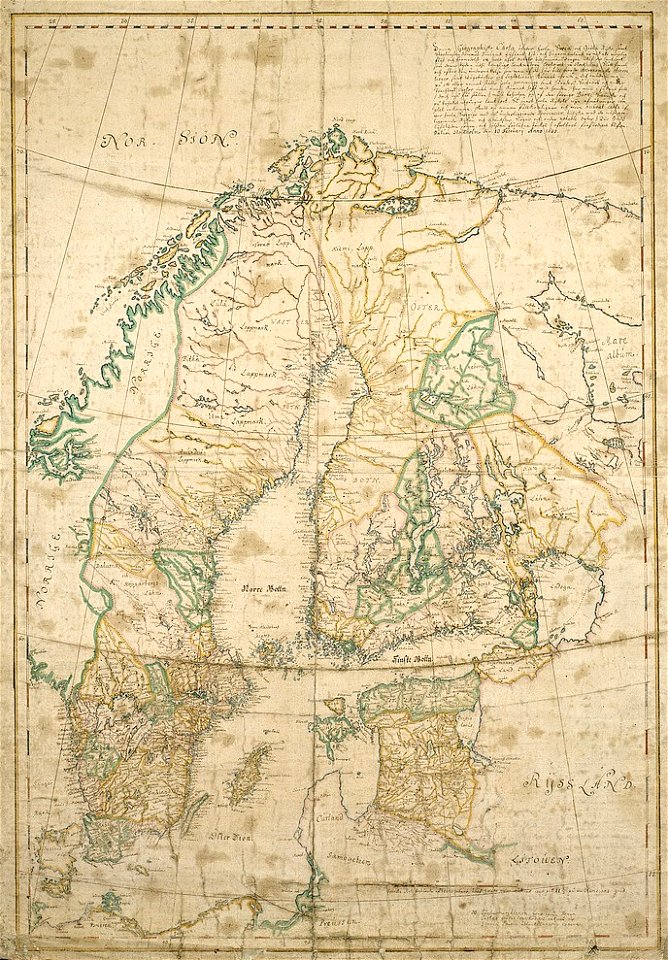
gripenhielms generalkarta
royal coats of arms of sweden
ships on maps
atlas novus (blaeu)
coats of arms of grand duchy of lithuania
17th-century maps of finland
17th-century maps of estonia
17th-century maps of finland
17th-century maps of estonia
historical coats of arms of denmark
royal coats of arms of sweden
17th-century maps of estonia
old maps of latvia
maps by willem and johannes blaeu
maps of livonia
old maps of latvia
maps of livonia
maps by willem and johannes blaeu
maps of livonia
atlas maior, vol 2 (sweden, russia, poland, eastern europe, and greece) - joan blaeu, 1667 - bl 114.h(star).2
17th-century maps of estonia
1 - 8 of 8
/ 1