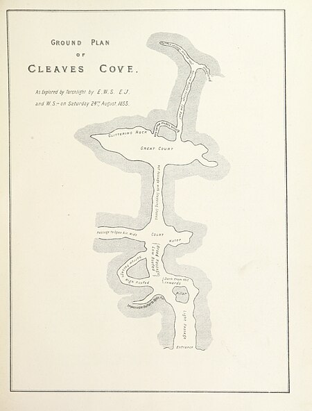
155 of 'Cuninghame, topographized by Timothy Pont ... 1604-1608, with continuations and illustrative notices by ... J. Dobie, ... edited by J. S. Dobie. (With a map.)' (11114616875)
View this map on the bl georeferencer service. Image taken from:
title: "cuninghame, topographized by timothy pont. 1604-1608, with continuations and illustrative notices by. J. Dobie,. Edited by j. S. Dobie. [with a map. ]"
author: pont, timothy. Contributor: dobie, james - f. S. A. Scot
contributor: dobie, john shedden. Shelfmark: "british library hmnts 10370. G. 17. "
page: 155
place of publishing: glasgow
date of publishing: 1876
publisher: j. Tweed
issuance: monographic
identifier: 000955092.