Log in
All resources
Create a design
27 Free Artworks of Old Maps Of Denmark
old maps of scandinavia
old maps of the white sea
maps of the barents sea
dutch-language maps
baptista van doetecum
northern sea route
1590s maps of denmark
old maps of spitsbergen
old maps of the arctic ocean
latin-language maps
third voyage of willem barentsz
16th-century maps of the arctic
third voyage of willem barentsz
history of dutch sea fisheries
third voyage of willem barentsz
history of dutch sea fisheries
third voyage of willem barentsz
16th-century maps of the arctic
third voyage of willem barentsz
16th-century maps of the arctic
the voyage of the vega round asia and europe
third voyage of willem barentsz
overwintering on nova zembla by willem barentsz, 1596-1597
maps in the rijksmuseum amsterdam
overwintering on nova zembla by willem barentsz, 1596-1597
maps in the rijksmuseum amsterdam
itinerario (jan huygen van linschoten)
latin-language maps
maps by joseph hutchins colton
1855 maps
maps by willem and johannes blaeu
copper engraving
itinerario (jan huygen van linschoten)
latin-language maps
itinerario (jan huygen van linschoten)
latin-language maps
maps by cornelis anthonisz.
1560 maps of europe
maps of the history of denmark
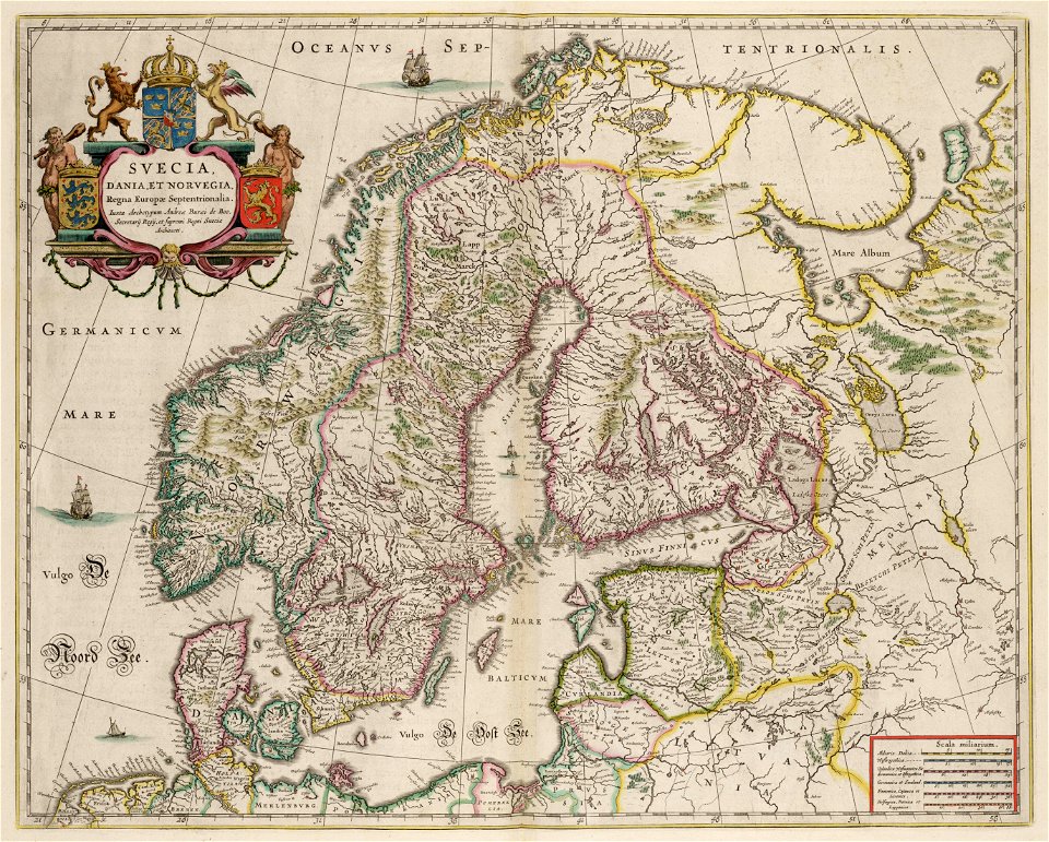
old maps of scandinavia
john rocque's 1746 map of london
history of london
17th-century maps of denmark
old maps of seas
atlas maior, vol 1 (northern europe, norway, and denmark) - joan blaeu, 1667 - bl 114.h(star).1
1667 maps
old maps of the nordic region
1840 maps
atlas maior, vol 1 (northern europe, norway, and denmark) - joan blaeu, 1667 - bl 114.h(star).1
1667 maps
maps of ven (oresund)
old maps of skåne
civitates orbis terrarum. urbium praecipuarum totius mundi. liber quartus
1590s maps of denmark
russo-turkish war (1877–1878) in art
great eastern crisis (1875–78)
maps from the earth and its inhabitants, vol. iii
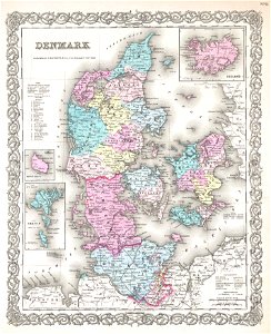
old maps of denmark
civitates orbis terrarum. urbium praecipuarum totius mundi. liber quartus
old maps of ancient rome (city)
david rumsey historical map collection
old maps of the holy roman empire
thomas onwhyn
britannia
1 - 27 of 27
/ 1