Log in
All resources
Create a design
20 Free Artworks of Maps Showing 16th Century History
latin-language maps
old maps of the white sea
maps of the barents sea
dutch-language maps
baptista van doetecum
northern sea route
1590s maps of norway
1590s maps of sweden
1590s maps of denmark
whales on maps
third voyage of willem barentsz
history of dutch sea fisheries
the voyage of the vega round asia and europe
third voyage of willem barentsz
itinerario (jan huygen van linschoten)
latin-language maps
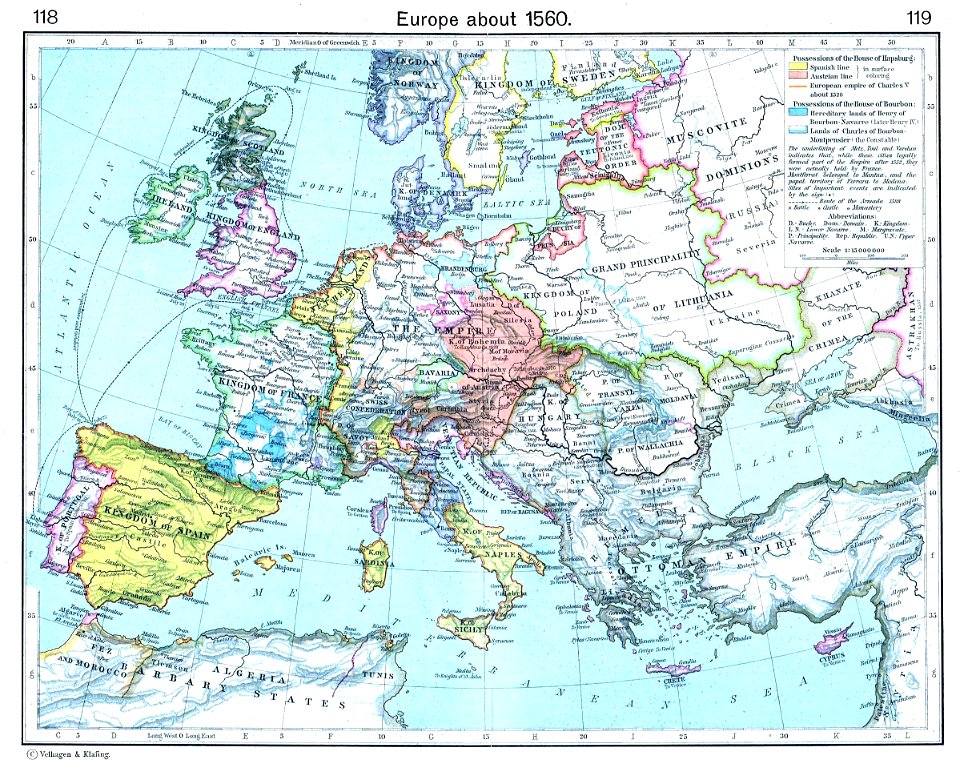
old maps showing history of europe
old maps of the holy roman empire
german-language maps showing history of europe
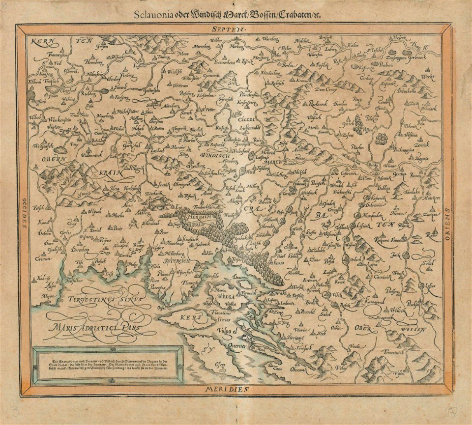
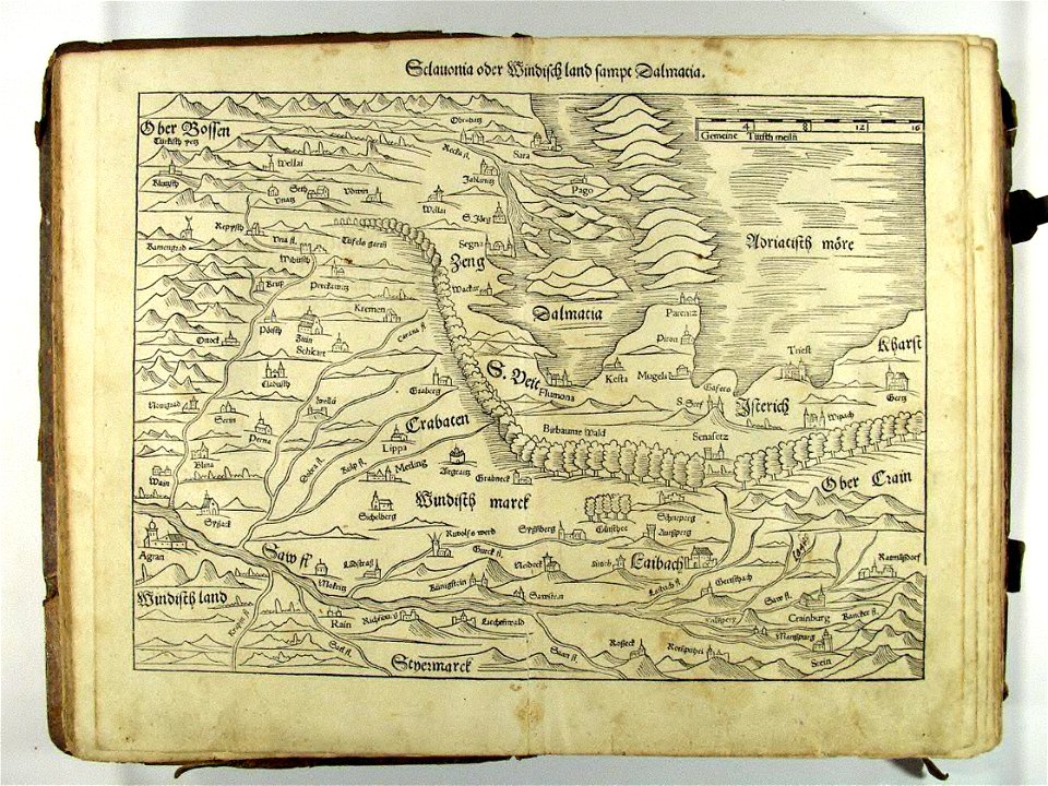
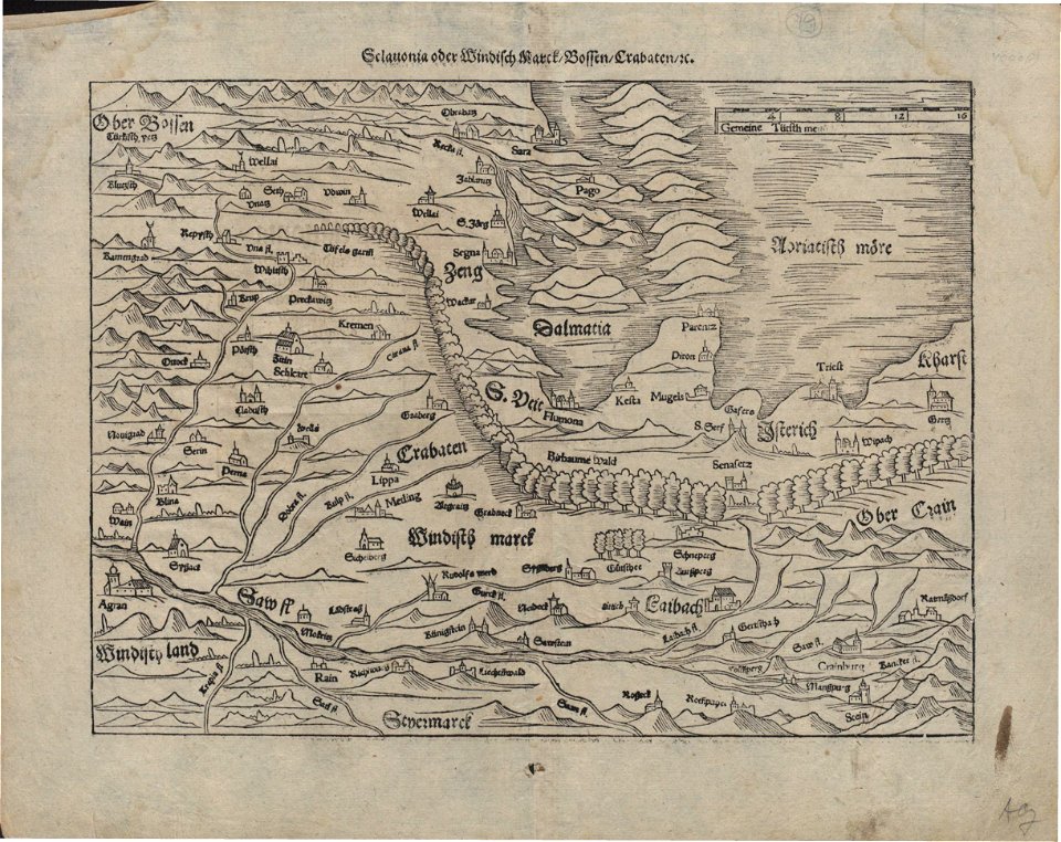
maps by sebastian münster
german-language maps showing history of europe
maps by sebastian münster
german-language maps showing history of europe
maps by sebastian münster
collections de la bibliothèque nationale et universitaire de strasbourg
german-language maps
itinerario (jan huygen van linschoten)
latin-language maps
itinerario (jan huygen van linschoten)
latin-language maps
1590s maps of the world
1595 maps
maps by jodocus hondius
1595 maps
17th-century maps of moscow
16th-century maps of moscow
picturesque burma, past and present (1897)
1890s maps showing history
die baudenkmäler in frankfurt am main – band 3, privatbauten
template unknown (unspecified)
civitates orbis terrarum. urbium praecipuarum totius mundi. liber quartus
old maps of ancient rome (city)
civitates orbis terrarum. urbium praecipuarum totius mundi. liber quartus
16th-century maps showing history
civitates orbis terrarum. urbium praecipuarum totius mundi. liber quartus
16th-century maps showing history
sailing ships of indonesia
ships on maps
1779 maps of the united states
1770s maps of the caribbean
1 - 20 of 20
/ 1