Log in
All resources
Create a design
50 Free Artworks of Maps Of The Baltic Sea
bibliothèque nationale de france
topographisch, oeconomisch und militaerische charte von mecklenburg, schwerin und ratzeburg
topographisch, oeconomisch und militaerische charte des herzogthums mecklenburg schwerin and des fürstenthums ratzeburg - schmettau
17th-century maps of the baltic sea
joan blaeu
maps by john cary
john cary
17th-century maps of finland
maps by willem and johannes blaeu
david rumsey historical map collection
17th-century maps of estonia
old maps of latvia
17th-century maps of schleswig-holstein
peninsulas of germany
18th-century maps of the baltic sea
1770s maps of sweden
castoro sei (ship, 1978)
andreas möller
maps by willem and johannes blaeu
birkholm
17th-century maps of the baltic sea
17th-century maps of scandinavia
joan blaeu
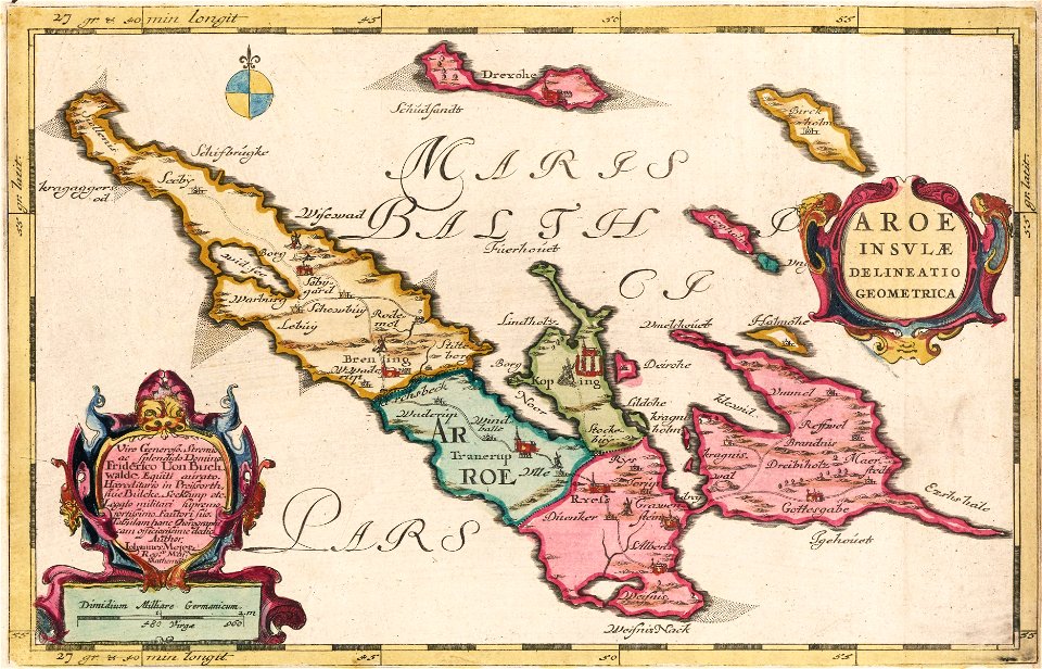
ærø
cartouches by willem and johannes blaeu
cartouches by willem and johannes blaeu
maps by willem and johannes blaeu
17th-century maps of scandinavia
david rumsey historical map collection
maps of rügen by eilhard lubinus
maps of the ural mountains
russia (1913)
17th-century maps of sweden
1660s maps of norway
cartouche (cartography)
nicholas tindal
russian shipwrecks 1713—1853
maps by john cary
1801 maps
atlas maior, vol 2 (sweden, russia, poland, eastern europe, and greece) - joan blaeu, 1667 - bl 114.h(star).2
17th-century maps of finland
admiralty charts region d: eastern north sea baltic norway iceland faroes svalbard
admiralty charts 3001-3400
maps by girolamo ruscelli
maps by girolamo porro
maps by john cary
1799 maps
1801 maps of germany
maps by john cary
topographisch, oeconomisch und militaerische charte des herzogthums mecklenburg schwerin and des fürstenthums ratzeburg - schmettau
topographisch, oeconomisch und militaerische charte von mecklenburg, schwerin und ratzeburg
topographisch, oeconomisch und militaerische charte des herzogthums mecklenburg schwerin and des fürstenthums ratzeburg - schmettau
topographisch, oeconomisch und militaerische charte von mecklenburg, schwerin und ratzeburg
topographisch, oeconomisch und militaerische charte des herzogthums mecklenburg schwerin and des fürstenthums ratzeburg - schmettau
topographisch, oeconomisch und militaerische charte von mecklenburg, schwerin und ratzeburg
topographisch, oeconomisch und militaerische charte des herzogthums mecklenburg schwerin and des fürstenthums ratzeburg - schmettau
topographisch, oeconomisch und militaerische charte von mecklenburg, schwerin und ratzeburg
topographisch, oeconomisch und militaerische charte des herzogthums mecklenburg schwerin and des fürstenthums ratzeburg - schmettau
topographisch, oeconomisch und militaerische charte von mecklenburg, schwerin und ratzeburg
topographisch, oeconomisch und militaerische charte des herzogthums mecklenburg schwerin and des fürstenthums ratzeburg - schmettau
topographisch, oeconomisch und militaerische charte von mecklenburg, schwerin und ratzeburg
topographisch, oeconomisch und militaerische charte des herzogthums mecklenburg schwerin and des fürstenthums ratzeburg - schmettau
topographisch, oeconomisch und militaerische charte von mecklenburg, schwerin und ratzeburg
topographisch, oeconomisch und militaerische charte des herzogthums mecklenburg schwerin and des fürstenthums ratzeburg - schmettau
topographisch, oeconomisch und militaerische charte von mecklenburg, schwerin und ratzeburg
topographisch, oeconomisch und militaerische charte des herzogthums mecklenburg schwerin and des fürstenthums ratzeburg - schmettau
topographisch, oeconomisch und militaerische charte von mecklenburg, schwerin und ratzeburg
topographisch, oeconomisch und militaerische charte des herzogthums mecklenburg schwerin and des fürstenthums ratzeburg - schmettau
topographisch, oeconomisch und militaerische charte von mecklenburg, schwerin und ratzeburg
topographisch, oeconomisch und militaerische charte des herzogthums mecklenburg schwerin and des fürstenthums ratzeburg - schmettau
topographisch, oeconomisch und militaerische charte von mecklenburg, schwerin und ratzeburg
topographisch, oeconomisch und militaerische charte des herzogthums mecklenburg schwerin and des fürstenthums ratzeburg - schmettau
topographisch, oeconomisch und militaerische charte von mecklenburg, schwerin und ratzeburg
topographisch, oeconomisch und militaerische charte des herzogthums mecklenburg schwerin and des fürstenthums ratzeburg - schmettau
topographisch, oeconomisch und militaerische charte von mecklenburg, schwerin und ratzeburg
topographisch, oeconomisch und militaerische charte des herzogthums mecklenburg schwerin and des fürstenthums ratzeburg - schmettau
topographisch, oeconomisch und militaerische charte von mecklenburg, schwerin und ratzeburg
topographisch, oeconomisch und militaerische charte des herzogthums mecklenburg schwerin and des fürstenthums ratzeburg - schmettau
topographisch, oeconomisch und militaerische charte von mecklenburg, schwerin und ratzeburg
topographisch, oeconomisch und militaerische charte des herzogthums mecklenburg schwerin and des fürstenthums ratzeburg - schmettau
topographisch, oeconomisch und militaerische charte von mecklenburg, schwerin und ratzeburg
1799 maps of the russian empire
maps by john cary
de custen van een deel van denemarken ende swedenrijck, beginnende van vuijtste tot calmer toe - lucas ianß wag. inve(n)t(or) ; (ioannes à doetecum fecit) - btv1b53235859j
bibliothèque nationale de france
de caerte ofte zee custen van pruijssen, met zijne haffen ofte groote rivieren, vander memel off tot heel tho, alsoe tlant aldaer in zijn wesen is - luca ioannis aurigarius aut. ; ioannes à doetecum fecit - btv1b53235794k
bibliothèque nationale de france
de caerte ofte zee custen van pruijssen, met zijne haffen ofte groote rivieren, vander memel off tot heel tho, alsoe tlant aldaer in zijn wesen is - luca ioannis aurigarius aut. ; ioannes à doetecum fecit - btv1b53235794k
bibliothèque nationale de france
de caerte ofte zee custen van pruijssen, met zijne haffen ofte groote rivieren, vander memel off tot heel tho, alsoe tlant aldaer in zijn wesen is - luca ioannis aurigarius aut. ; ioannes à doetecum fecit - btv1b53235794k
bibliothèque nationale de france
de custen van een deel van denemarken ende swedenrijck, beginnende van vuijtste tot calmer toe - lucas ianß wag. inve(n)t(or) ; (ioannes à doetecum fecit) - btv1b53235859j
bibliothèque nationale de france
de custen van een deel van denemarken ende swedenrijck, beginnende van vuijtste tot calmer toe - lucas ianß wag. inve(n)t(or) ; (ioannes à doetecum fecit) - btv1b53235859j
bibliothèque nationale de france
1794 maps of the holy roman empire
english-language maps of europe
prints by franz hanfstängl in the british museum
lithographs in the british museum
zee custe van sweeden, ontrent de westerwijck, ende tgatt vann stockholm, beginnende van kalmar tot den wigsteen en rookoe gelegen bynnen tgatt van stockholm alsoe hem tlandt daer verthoont - doer lucas... - btv1b53235860x
bibliothèque nationale de france
zee custe van sweeden, ontrent de westerwijck, ende tgatt vann stockholm, beginnende van kalmar tot den wigsteen en rookoe gelegen bynnen tgatt van stockholm alsoe hem tlandt daer verthoont - doer lucas... - btv1b53235860x
bibliothèque nationale de france
zee custe van sweeden, ontrent de westerwijck, ende tgatt vann stockholm, beginnende van kalmar tot den wigsteen en rookoe gelegen bynnen tgatt van stockholm alsoe hem tlandt daer verthoont - doer lucas... - btv1b53235860x
bibliothèque nationale de france
prints by jan luyken in the rijksmuseum amsterdam
old maps of the baltic sea
1 - 50 of 50
/ 1