Log in
All resources
Create a design
521 Free Artworks of Maps From Books
bodleian library
arabic-language manuscripts
files from the bodleian libraries
ms. greaves 42
manuscript maps
maps from the mechanical curator collection
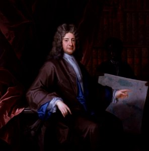
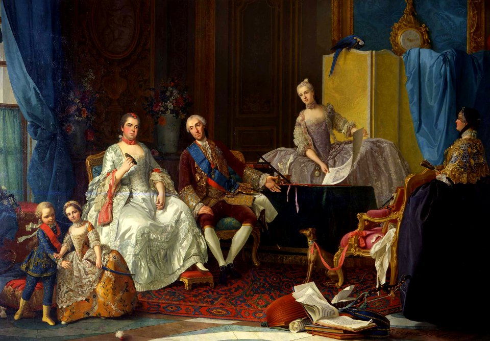
maps in portrait paintings
london
hats
coat
paintings in the musée des arts décoratifs
paintings by pierre-antoine baudouin
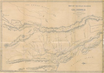
maps of del norte county, california
1866 maps of california
portrait paintings by maurice quentin de la tour (french royalty)
rococo
historical maps of warsaw
1862 maps
maps from the mechanical curator collection
1852 maps
maps from the mechanical curator collection
william peel (royal navy officer)
maps from the mechanical curator collection
1857 books
maps from the mechanical curator collection
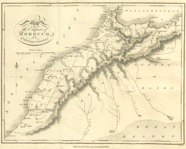
old maps of morocco
old maps of greece
1896 maps
old maps of dhaka
1840 books
maps from the mechanical curator collection
1814 maps
hill of tara
1879 maps
1855 maps of massachusetts
1812 books
1812 maps
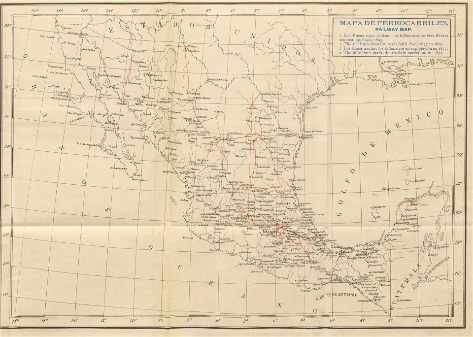
old maps of mexico
1893 in mexico
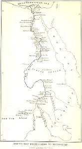
old maps of nile delta
1821 books
old maps of bhutan
old maps of tibet
maps from the mechanical curator collection
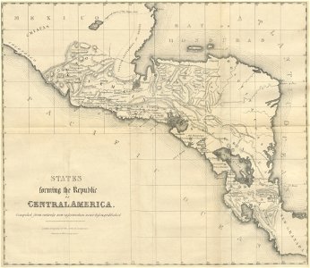
19th-century maps of central america
maps from the mechanical curator collection
1806 books
maps from the mechanical curator collection
1868 maps
california gold rush
john sutter
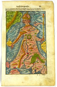
illustrations of cosmographia (münster)
latin-language maps
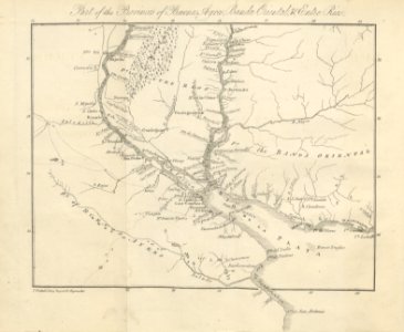
old maps of the río de la plata
old maps of uruguay
maps
book
old maps of algeria
bodleian library
collections de la bibliothèque nationale et universitaire de strasbourg
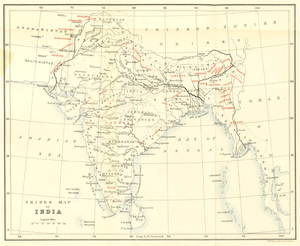
old maps of asia
19th-century maps of london
1840 books
maps of the eastern mediterranean
bodleian library
old maps of tunisia
bodleian library
old maps of turkestan
bodleian library
old maps of turkestan
bodleian library
arabic-language manuscripts
bodleian library
old maps of china
bodleian library
arabic-language manuscripts
bodleian library
maps from the mechanical curator collection
1899 books
maps of the sea of marmara
old maps of the aegean sea
prints from the peace palace library
lucan
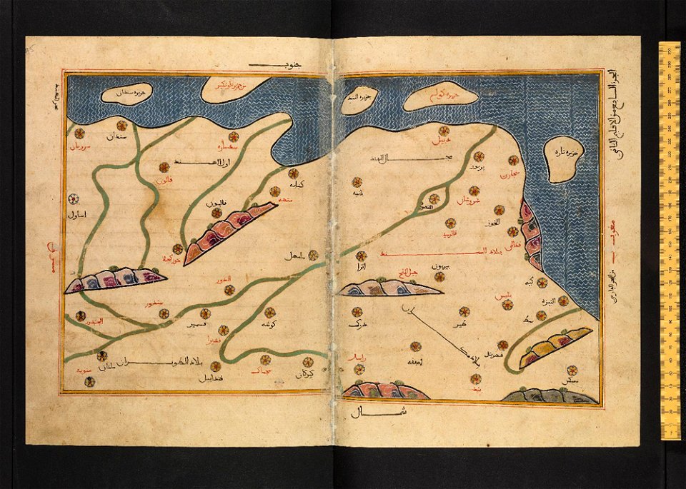
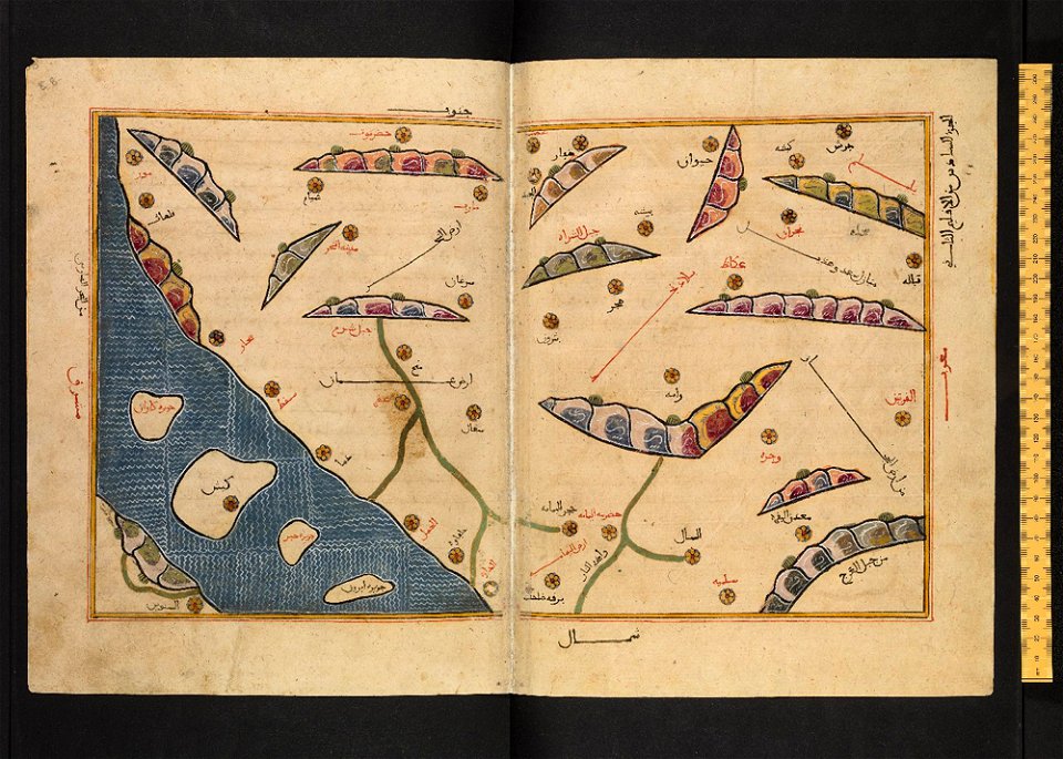
arabic-language manuscripts
bodleian library
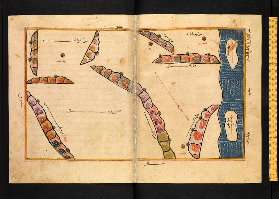
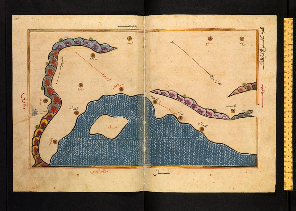
arabic-language manuscripts
bodleian library
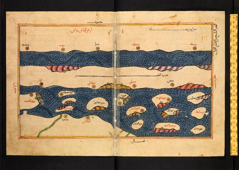
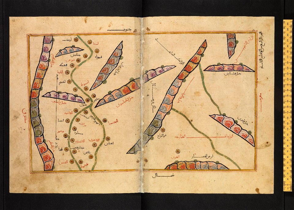
arabic-language manuscripts
bodleian library
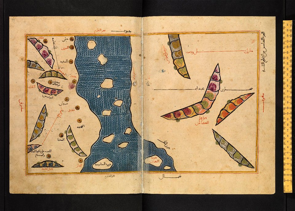
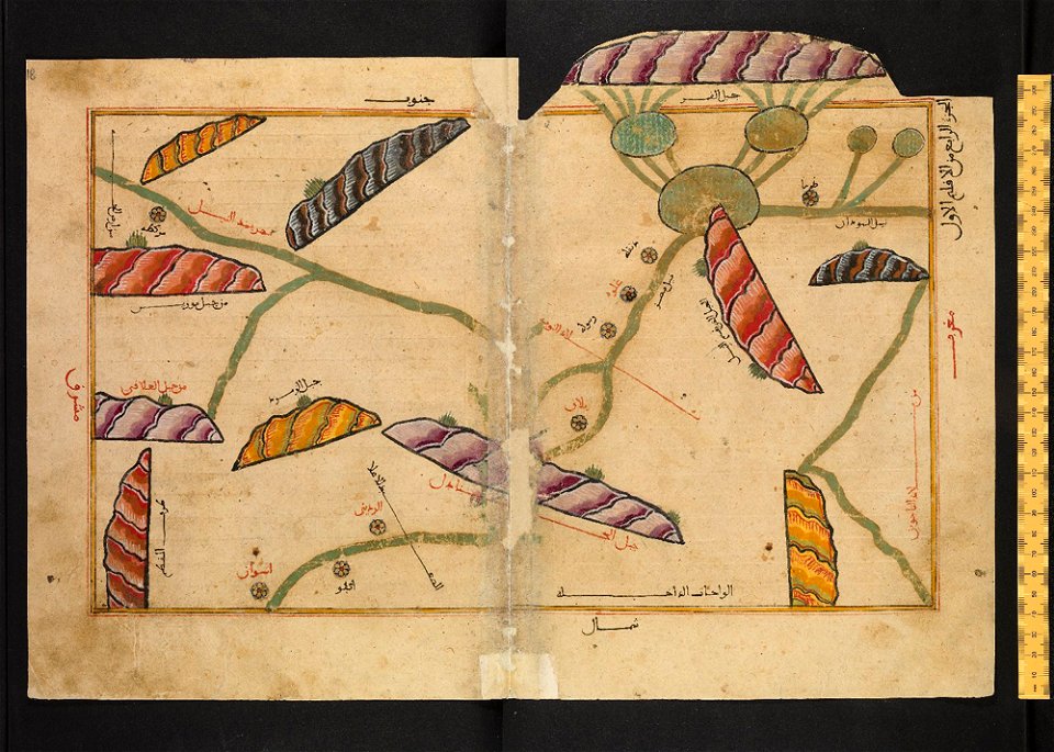
arabic-language manuscripts
bodleian library
arabic-language manuscripts
bodleian library
arabic-language manuscripts
bodleian library
arabic-language manuscripts
bodleian library
arabic-language manuscripts
bodleian library
arabic-language manuscripts
bodleian library
arabic-language manuscripts
bodleian library
arabic-language manuscripts
bodleian library
arabic-language manuscripts
bodleian library
arabic-language manuscripts
bodleian library
arabic-language manuscripts
bodleian library
arabic-language manuscripts
bodleian library
arabic-language manuscripts
bodleian library
arabic-language manuscripts
bodleian library
arabic-language manuscripts
bodleian library
arabic-language manuscripts
bodleian library
arabic-language manuscripts
bodleian library
arabic-language manuscripts
bodleian library
arabic-language manuscripts
bodleian library
arabic-language manuscripts
bodleian library
book collection of the chester beatty library
l'isole più famose del mondo
fashion
london
fashion
london
hats
man
old administrative maps of the ottoman empire
1909 maps of asia
artist missing
london
boris kisin
classicism
architectural drawings of luxembourg palace
maps of jardin du luxembourg
illustrated title pages
1645 books
1750s paintings from italy
ferdinand
maps of novaya zemlya
india orientalis
1855 maps of the russian empire
1850s maps of crimea
maps by girolamo porro
1572 maps
illustrations from the sphinx of the ice fields by george roux
maps of the southern ocean
highways and byways in cambridge and ely (book)
old maps of cambridge
portrait paintings by georg david matthieu (house of mecklenburg)
paintings in schloss ludwigslust
1890s maps of ethiopia
fra mauro map details
the generall historie of virginia (john smith)
1624 books from london
clifton (bristol ward)
old maps of clifton
clifton (bristol ward)
old maps of clifton
atlas van der hagen (volume 3)
atlas van der hagen
map collection of leibniz-institut für länderkunde
1603 in art
lawrence h. slaughter collection of english maps, charts, globes, books and atlases
1640s maps of the americas
17th-century maps of north carolina
old maps of virginia
siege of győr (1598) in art
1602 books
1670s maps of new york (state)
1670s maps of new jersey
guida illustrata di montepiano e sue adiacenze (1892)
books from biblioteca lazzerini di prato
architectural drawings of luxembourg palace
historical images of luxembourg palace
the hand-book for travellers in italy, from london to naples (1838)
old maps of tuscany
book pages from france
découvertes gallimard
books published in saint petersburg
boris andreevich dorn
lawrence h. slaughter collection of english maps, charts, globes, books and atlases
pre-raphaelite brotherhood
paintings by rembrandt in the rijksmuseum amsterdam
dutch golden age painting
atlas van der hagen (volume 4)
atlas van der hagen
book covers from brazil
2012 book covers
palau in the 18th century
old maps of palau
old maps of south africa
1879 maps of africa
german renaissance
old maps of venice
animal migration maps
nikolay karazin
maps of london by braun & hogenberg
maps of old london (book)
1 - 100 of 521
Next page
/ 6


![Stadsprofiel van] VENETIA, Joan Blaeu, 1704](https://cdn.creazilla.com/illustrations/10000311106/stadsprofiel-van-venetia-joan-blaeu-1704-md.jpeg)