Log in
All resources
Create a design
26,489 Free Artworks of Map
baroque
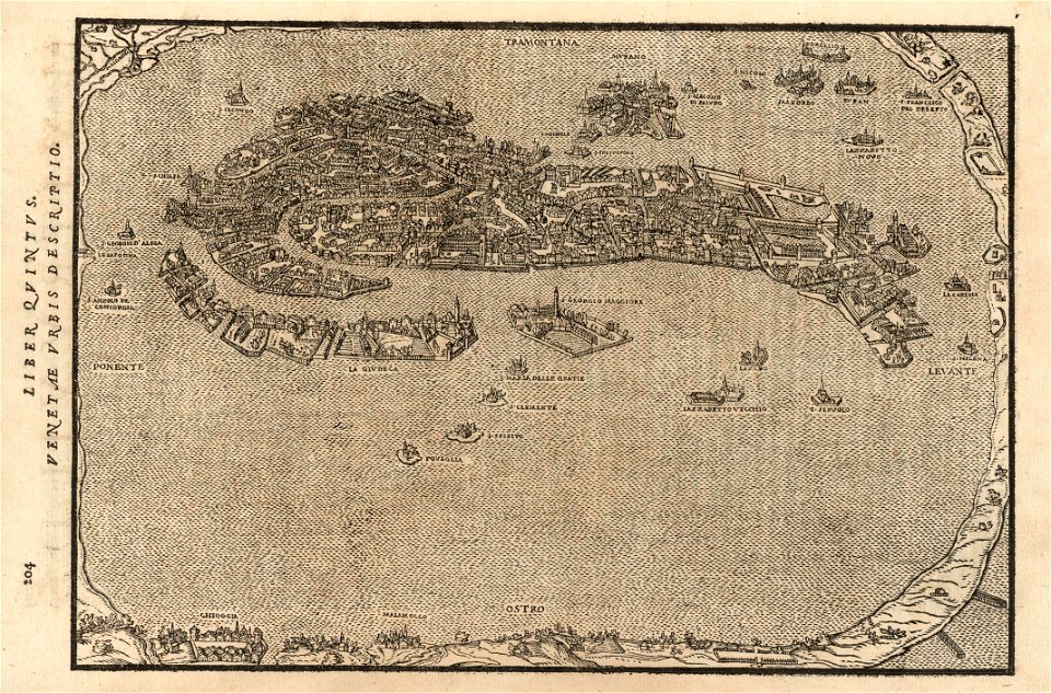
vrbivm praecipvarvm mvndi theatrvm qvintvm (1617)
national library of poland
eran laor cartographic collection
engravings of topographia braunschweig lüneburg
latin-language maps
bibliothèque nationale de france
frans hogenberg
maps in the rijksmuseum amsterdam
maps of bamberg by braun & hogenberg
maps of cairo by braun & hogenberg
ottoman egypt
maps of karafuto
ainu language
old maps of the peloponnese
maps of the peloponnese
17th-century maps of europe
maps by carolus allard
maps in the library of congress
1900 maps of philadelphia
maps by willem and johannes blaeu
old maps of gâtinais and sénonais
17th-century maps of the holy roman empire
maps by pieter van der keere
maps of florence by braun & hogenberg
maps of genoa by braun & hogenberg
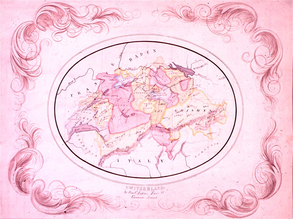
paintings by thomas eakins
realism
topographia westphaliae (merian)
baroque
engravings of topographia braunschweig lüneburg
baroque
maps of oradea by braun & hogenberg
stephen bocskai
de architectura
classicism
eran laor cartographic collection
pieter schenk (ii)
the gazetteer of scotland (1838)
edinburgh in art
eran laor cartographic collection
gottfried hensel
eran laor cartographic collection
willem blaeu
eran laor cartographic collection
romeyn de hooghe
eran laor cartographic collection
german renaissance
eran laor cartographic collection
william henry toms
maps in the rijksmuseum amsterdam
maps by gerard valck
maps of deventer by braun & hogenberg
lopukhinsky garden
erstavik
dublin custom house
old maps of dublin
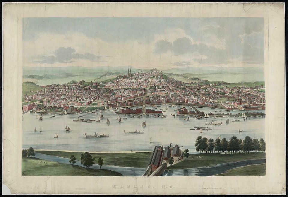
1853 in new york (state)
1853 lithographs
petit atlas pittoresque des 48 quartiers de la ville de paris, bhvp
paris former 4e arrondissement
maps from university of amsterdam special collections
atlas der neederlanden
petit atlas pittoresque des 48 quartiers de la ville de paris, bhvp
paris former 4e arrondissement
maps from university of amsterdam special collections
atlas der neederlanden
eran laor cartographic collection
johann martin will
description des principales villes (1690)
maps of aegina
maps of ghent by braun & hogenberg
topographia franconiae (merian)
baroque
old maps of siena
duchy of castro
high renaissance,renaissance
codex windsor
archaeological survey of egypt memoir (1893)
maps of the nile in sudan
maps of büdingen by braun & hogenberg
merian hassiae
maps of bamberg by braun & hogenberg
maps of bamberg by braun & hogenberg
maps of bamberg by braun & hogenberg
merian hassiae
baroque
old maps of spanjaardenkasteel
flandria illustrata
maps in the library of congress
new york illustrated news
coats of arms verteidigungsbezirkskommandos (bundeswehr)
coats of arms from augustdorf
atlas van loon
fort-mardyck
18th-century oil portraits of standing women at full length
andreas brugger
19th-century maps of the eastern mediterranean
maps of saint paul's journeys
the comprehensive history of england (1876)
english-language maps showing history
cornell's primary geography (1860)
maps of australia and new zealand
details of old maps, defaced
maps by nicolaes visscher i
old maps of ancient athens
maps of piraeus
napoleon i of france in art
academic art
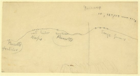
17th-century maps of maastricht
siege of maastricht (1632)
drawings (documentary) collection in the library of congress
drawings by alfred waud
maps of szolnok by braun & hogenberg
szolnok castle
engravings of topographia braunschweig lüneburg
baroque
maps of asilah by braun & hogenberg
portuguese asilah
topographia braunschweig lüneburg (merian)
baroque
engravings of topographia braunschweig lüneburg
baroque
engravings of topographia braunschweig lüneburg
baroque
engravings of topographia braunschweig lüneburg
baroque
old maps of damme
atlas van loon
engravings of topographia braunschweig lüneburg
baroque
topographia braunschweig lüneburg (merian)
baroque
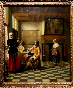
baroque,dutch golden age painting
paintings by pieter de hooch
watercolor drawings by johannes vingboons
old maps of dutch brazil
1880s maps of south africa
emil holub
pieter schenk (ii)
old maps of saxony
maps of fritzlar
nicolaus person
maps of limousin by jean fayen
maps in the rijksmuseum amsterdam
17th-century maps of prussia
british library king's topographical collection
william henry toms
maps in the rijksmuseum amsterdam
17th-century celestial maps
chromolithographs in the rijksmuseum amsterdam
published by frans buffa & zonen
alonzo chappel
maps by jakob van der schley
old maps of southeast asia
17th-century maps of iceland
iceland map by joris carolus
william dugdale
baroque
merian mainz trier köln
baroque
merian sueviae
baroque
old maps of deventer
ijssel at deventer
eberts villaby
franz šedivý
egmontkasteel in art
flandria illustrata
maps of écija by braun & hogenberg
1572 in andalusia
vrbivm praecipvarvm mvndi theatrvm qvintvm (1617)
maps of castelnuovo by braun & hogenberg
vrbivm praecipvarvm mvndi theatrvm qvintvm (1617)
maps of cártama by braun & hogenberg
vrbivm praecipvarvm mvndi theatrvm qvintvm (1617)
maps of acquapendente by braun & hogenberg
vrbivm praecipvarvm mvndi theatrvm qvintvm (1617)
maps of zahara by braun & hogenberg
vrbivm praecipvarvm mvndi theatrvm qvintvm (1617)
maps of lyon by braun & hogenberg
historical images of dubrovnik
baroque
kadasterkaarten maastricht (ca 1823-1830)
1830 maps
vrbivm praecipvarvm mvndi theatrvm qvintvm (1617)
maps of montlhéry by braun & hogenberg
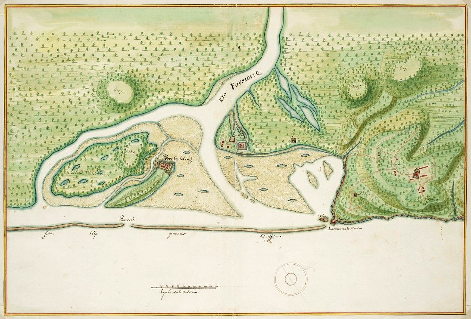
camps topographiques de la campagne de mdcclvii, en westphalie
emmerthal
vrbivm praecipvarvm mvndi theatrvm qvintvm (1617)
maps of münstermaifeld by braun & hogenberg
vrbivm praecipvarvm mvndi theatrvm qvintvm (1617)
maps of sarrebourg by braun & hogenberg
robert gordon of straloch
old maps of sutherland
vrbivm praecipvarvm mvndi theatrvm qvintvm (1617)
maps of hildesheim by braun & hogenberg
vrbivm praecipvarvm mvndi theatrvm qvintvm (1617)
maps of tours by braun & hogenberg
vrbivm praecipvarvm mvndi theatrvm qvintvm (1617)
maps of tønder by braun & hogenberg
13201 - 13300 of 26,489
Next page
/ 265