Log in
All resources
Create a design
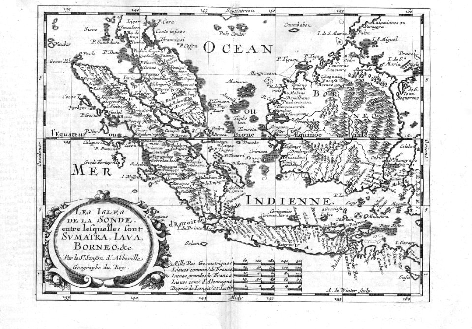
57 Free Artworks of Les Isles De La
description des principales villes (1690)
jacob peeters
bibliothèque nationale de france
media needing categories as of 5 may 2019
engravings in musée carnavalet
university of washington
louis isidore duperrey
jules-louis lejeune
antoine chazal
portraits by ambroise tardieu
maps in the library of congress
1782 maps
maps in the library of congress
1782 maps
joseph pitton de tournefort
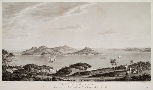
voyage pittoresque de constantinople et des rives du bosphore
paris
media needing categories as of 5 may 2019
media needing categories as of 5 may 2019
prints in the bibliothèque nationale de france
yves marie le gouaz
media needing categories as of 5 may 2019
media needing categories as of 5 may 2019
royalty and chieftains of bora bora
louis isidore duperrey
royalty and chieftains of bora bora
louis isidore duperrey
maps by jean-baptiste bourguignon d'anville
18th-century maps of western europe
18th-century maps of western europe
1754 maps of europe
royalty and chieftains of tahiti
louis isidore duperrey
checkflicr2
description des principales villes (1690)
bharuch
carte du mexique et de la floride by guillaume delisle (1703)
details of old maps
voyage pittoresque des isles de sicile, de malte et de lipari
historical images of aci castello
paintings of the seine by claude monet
impressionism
maps of ancient israel by philippe de la rué
henri le roy (1579-)
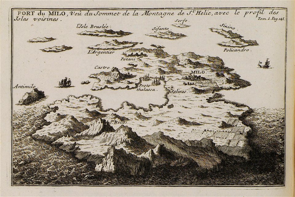
description des principales villes (1690)
sestos
description des principales villes (1690)
etchmiadzin cathedral in art
description des principales villes (1690)
durrës in the 17th century
description des principales villes (1690)
history of baghdad
description des principales villes (1690)
crete in art
description des principales villes (1690)
historical images of patras
description des principales villes (1690)
abydos (hellespont)
description des principales villes (1690)
mount tabor
description des principales villes (1690)
engravings of mystras
description des principales villes (1690)
maps of kotor
description des principales villes (1690)
maps of spinalonga
description des principales villes (1690)
old maps of santa maura
description des principales villes (1690)
history of şamaxı
jean-fréderic phélypeaux
guillaume dheulland
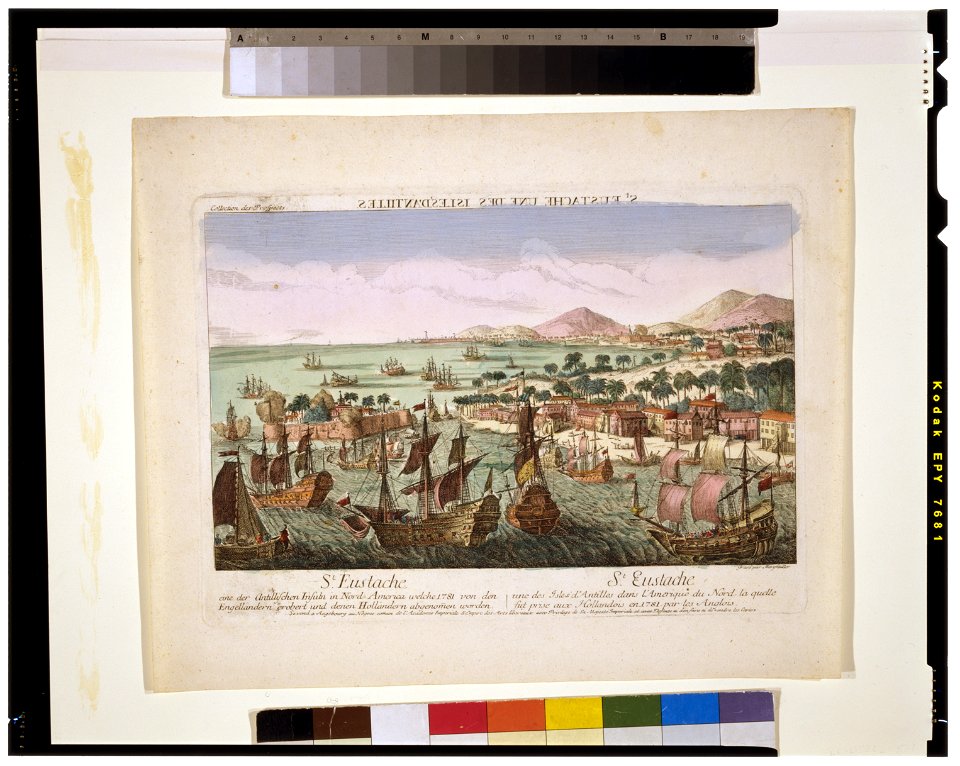
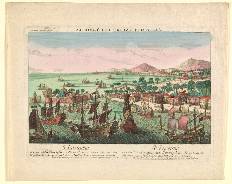
les forces de l'europe, asie, afrique et amerique, ou description des principales villes, avec leurs fortifications
old maps of cádiz
voyages de la commission scientifique du nord, en scandinavie, en laponie, au spitzberg et aux feröe
lithographs by auguste mayer
maps by hendrik hondius the younger
1632 maps of africa
jean-fréderic phélypeaux
guillaume dheulland
cartography
maps
old maps of scotland from the norman b. leventhal map center
old maps of ireland from the norman b. leventhal map center
maps of the senegal river
1747 maps of africa
les forces de l'europe, asie, afrique et amerique, ou description des principales villes, avec leurs fortifications
maps of belle-île-en-mer
maps of paris from the david rumsey historical map collection
maps of île-de-france by françois de la guillotière
les forces de l'europe, asie, afrique et amerique, ou description des principales villes, avec leurs fortifications
malta by jean houël on voyage pittoresque
ġgantija in art
hôtel de montmorency (capucines)
engravings in musée carnavalet
cartouches by guillaume delisle
philippe buache
cádiz in the 18th century
old maps of cádiz
maps of the iberian peninsula by guillaume delisle
1700s maps of the iberian peninsula
carte de l'isle de ceylan by guillaume delisle (1722)
philippe buache
engravings in musée carnavalet
engravings by israël silvestre
engravings in musée carnavalet
engravings by israël silvestre
engravings in musée carnavalet
engravings by israël silvestre
carte des côtes de malabar et de coromandel (1723)
philippe buache
villa magni (san terenzo, lerici)
prints in musée carnavalet
prints by abraham bosse
prints in musée carnavalet
prints by abraham bosse
1 - 57 of 57
/ 1