Log in
All resources
Create a design
45 Free Artworks of Jesuit Maps
bibliothèque nationale de france
considérations géographiques et physiques sur les nouvelles découvertes au nord de la grande mer
baroque painting
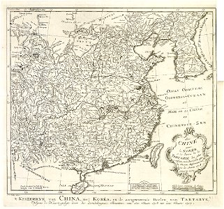
18th-century maps of korea
carta hydrographica y chorographica de las yslas filipinas
1730s maps of the philippines
arizona, the wonderland; the history of its ancient cliff and cave dwellings, ruined pueblos (1917)
latin-language maps
maps of the great wall of china
engraving on paper
carta hydrographica y chorographica de las yslas filipinas
baroque painting
17th-century maps of korea
1680s maps of china
louis boudan
1695 in art
maps by willem and johannes blaeu
pantanal
maps by thomas kitchin
willow palisade
maps of the dutch east india company - korea
maps of the dutch east india company - china
1720s maps showing history
1727 maps of africa
eran laor cartographic collection
joseph goupy
maps of liège by johannes blaeu - derivative files
jesuit churches in belgium
english-language maps
1747 maps of asia
carta hydrographica y chorographica de las yslas filipinas
baroque painting
bibliothèque nationale de france
noviciat des jésuites (paris)
1744 maps of quebec
saguenay river
church of the assumption of the virgin mary (brno)
maps of brno by braun & hogenberg
brussels in the 1690s
jacobus harrewijn
18th-century maps of korea
nouvel atlas de la chine
maps of dorsoduro (venice)
rio di san vio (venice)
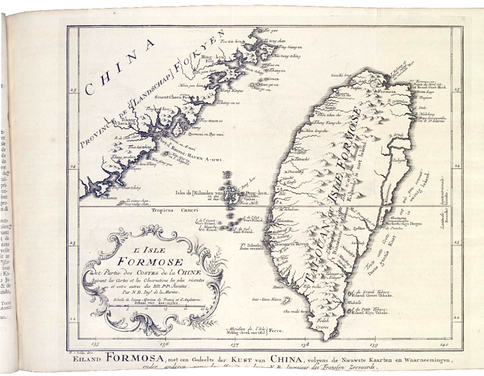
1740s maps of taiwan
1749 maps of asia
considérations géographiques et physiques sur les nouvelles découvertes au nord de la grande mer
1755 maps of north america
carte de barbarie, nigritie, guinée par guillaume delisle (1707)
1718 maps of africa
nouvel atlas de la chine
claas condet
18th-century maps of korea
nouvel atlas de la chine
considérations géographiques et physiques sur les nouvelles découvertes au nord de la grande mer
1750s maps of the russian empire
18th-century maps of the malay archipelago
18th-century maps of southeast asia
considérations géographiques et physiques sur les nouvelles découvertes au nord de la grande mer
hokkaido in art
considérations géographiques et physiques sur les nouvelles découvertes au nord de la grande mer
isla de los estados
bibliothèque nationale de france
guillaume sanson
considérations géographiques et physiques sur les nouvelles découvertes au nord de la grande mer
old maps of the yellow sea
1750s maps of california
philippe buache
arizona, the wonderland; the history of its ancient cliff and cave dwellings, ruined pueblos (1917)
harry cassie best
arizona, the wonderland; the history of its ancient cliff and cave dwellings, ruined pueblos (1917)
john bond francisco
considérations géographiques et physiques sur les nouvelles découvertes au nord de la grande mer
isla de los estados
considérations géographiques et physiques sur les nouvelles découvertes au nord de la grande mer
eso island
considérations géographiques et physiques sur les nouvelles découvertes au nord de la grande mer
eso island
arizona, the wonderland; the history of its ancient cliff and cave dwellings, ruined pueblos (1917)
historic depictions of apache people
arizona, the wonderland; the history of its ancient cliff and cave dwellings, ruined pueblos (1917)
bucky o'neill monument
extracts from carta hydrographica y chorographica de las yslas filipinas
baroque painting
carta hydrographica y chorographica de las yslas filipinas
baroque painting
baroque painting
animals on maps
18th-century double hemisphere world maps
1730s maps of the world
18th-century double hemisphere world maps
1730s maps of the world
1650s maps of the americas
1658 maps
geocentric model
1730 maps
mappe-monde geo-hydrographique (sanson and jaillot, 1674)
cartography of france
mappe-monde geo-hydrographique (sanson and jaillot, 1674)
1 - 45 of 45
/ 1