Log in
All resources
Create a design
273 Free Artworks of Exploration Of The Americas
engraving
grabados
libros del siglo xix
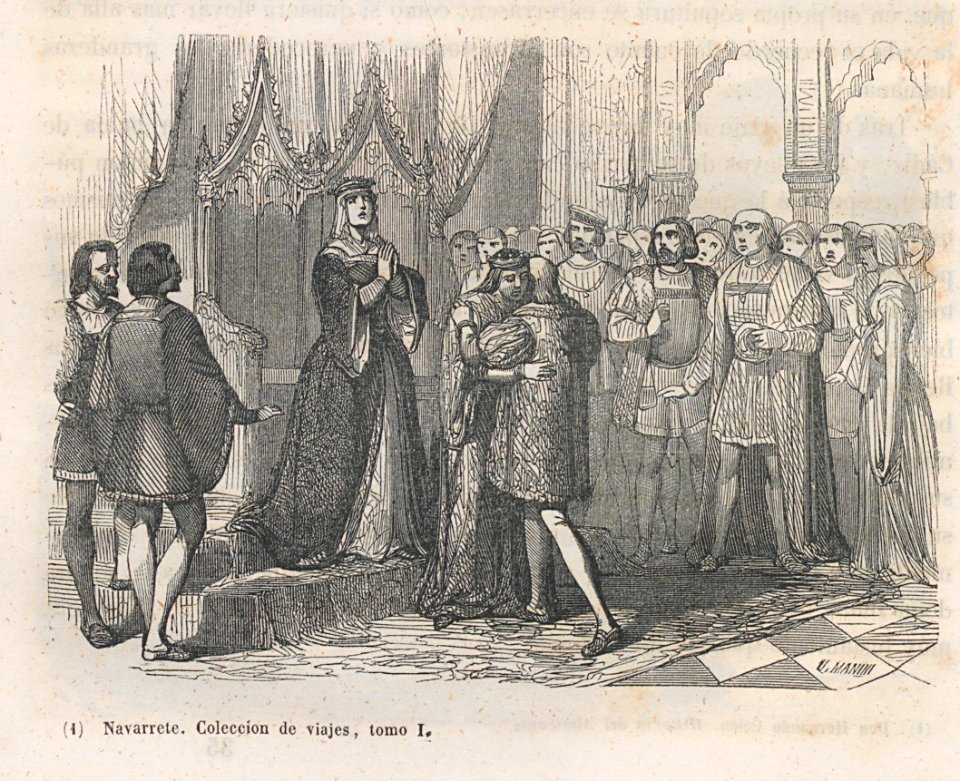
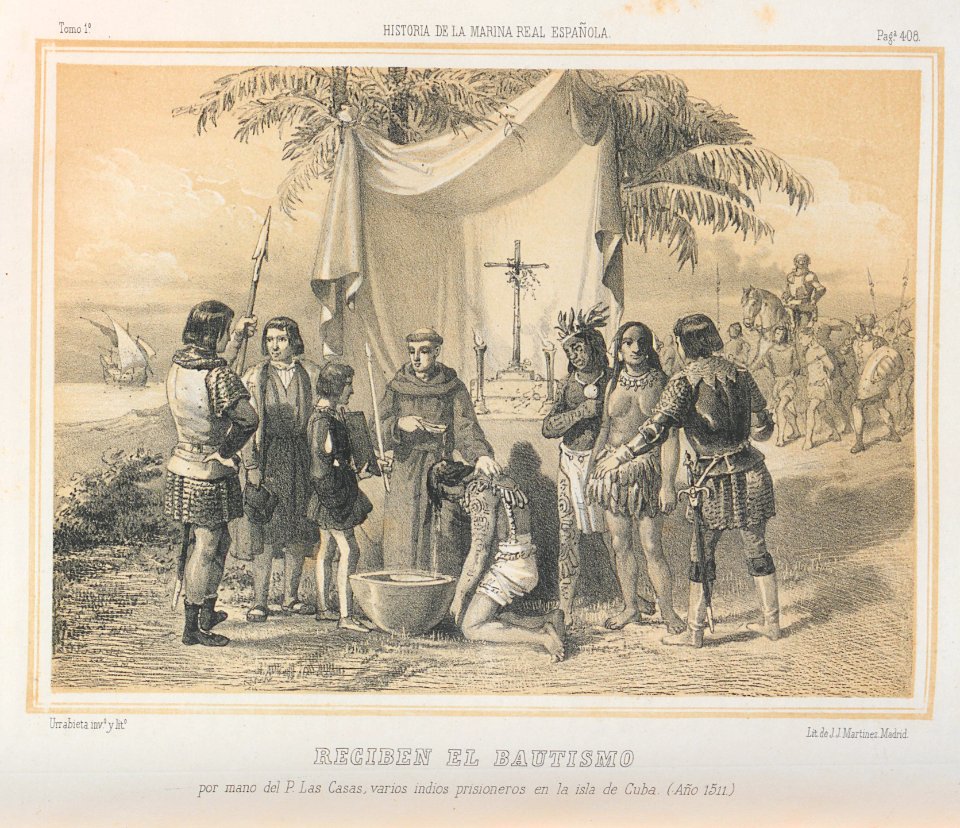
historia de la marina real española, 1854
exploration of north america
descubrimiento de américa
description and travel
indians of north america
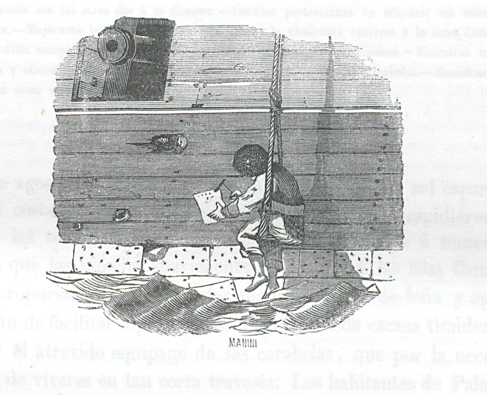
u. manini
travel
twin towers (new york city) in 1980
battery park city
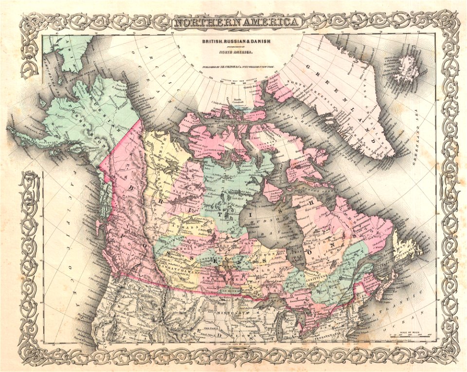
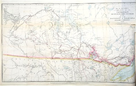
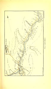
old maps of canada
province of canada
medieval
maps
medieval
war
earth
maps
embarkation of the pilgrims by robert walter weir (us capitol)
realism
australia
maps
technology
travel
overwintering on nova zembla by willem barentsz, 1596-1597
maps in the rijksmuseum amsterdam
thomas jefferson
kentucky
old constellation maps
maps by samuel dunn
european exploration of africa
portuguese empire
americae 1562 by diego gutiérrez and hieronymus cock
renaissance
egypt exploration society
amelia edwards
1849 maps of north america
old maps of canada
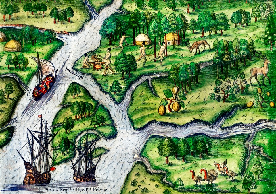
prints after jan van der straet
mannerism
development of civilization in america
native americans in 20th-century art
paintings by frederic edwin church
hudson river school
oscar e. berninghaus
phoenix post office
explorers from austria
botanists from austria
the ancient cities of the new world (1887)
pierre fritel
development of civilization in america
native americans in 20th-century art
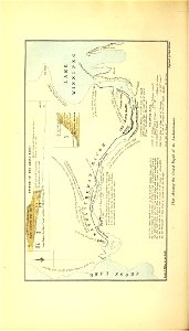
maps indicating exploration
royal geographical society
prints after jan van der straet
mannerism
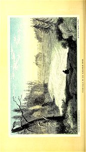
geology
travel
geology
travel
geology
travel
geology
travel
travel
people
geology
travel
geology
travel
travel
people
geology
travel
travel
people
travel
people
geology
travel
geology
travel
geology
travel
travel
people
travel
people
geology
travel
geology
travel
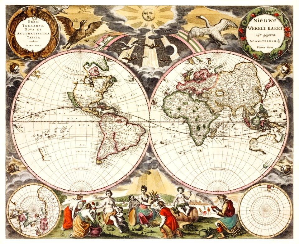
maps by matthäus merian
baroque
geology
travel
départements français des amériques
indigenous peoples of the americas
medieval
maps
engraving
grabados
engraving
grabados
engraving
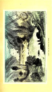
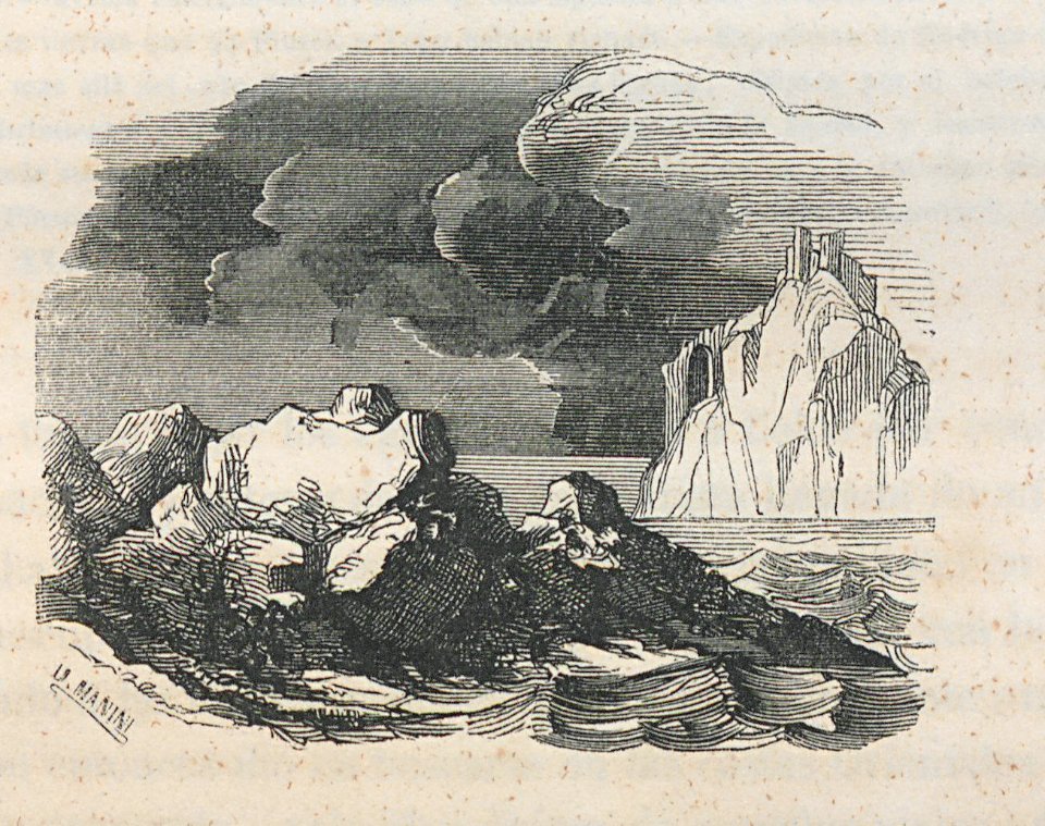
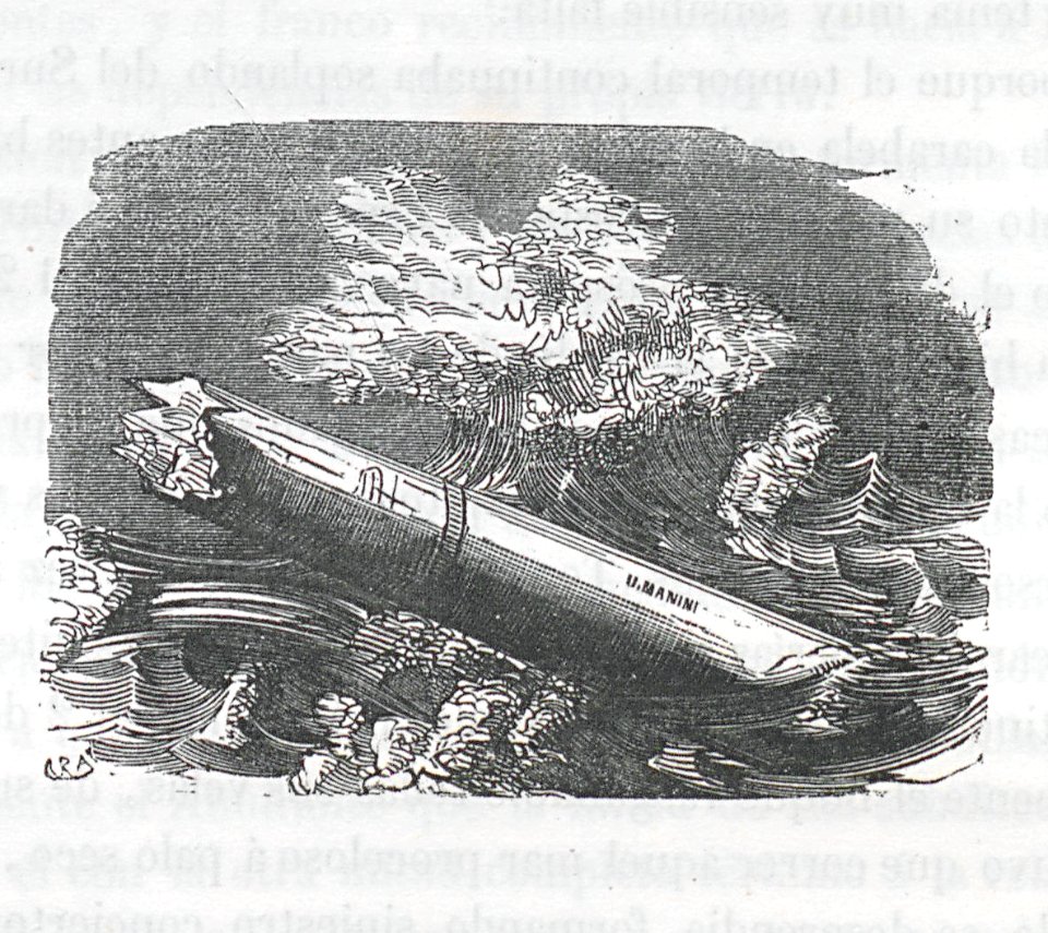
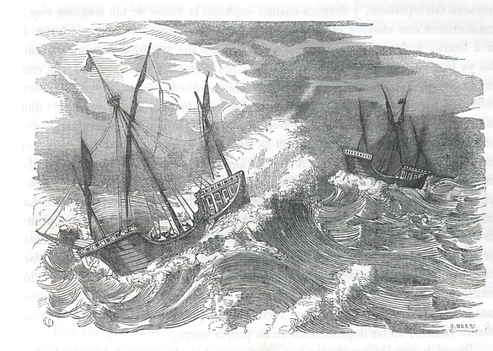
storm
shipwreck
engraving
engraving
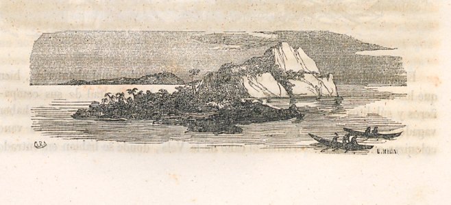
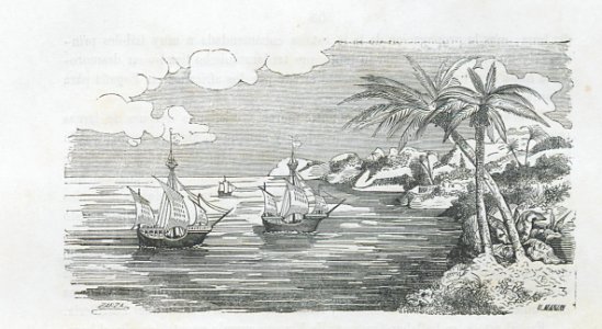
coast
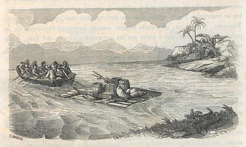
boat
sea
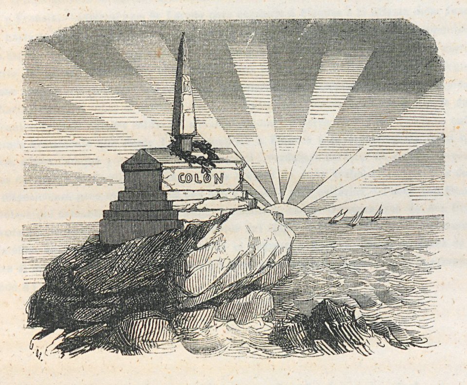
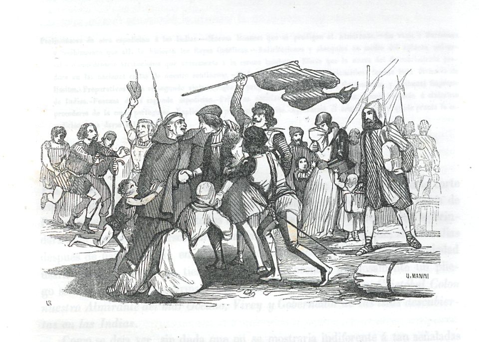
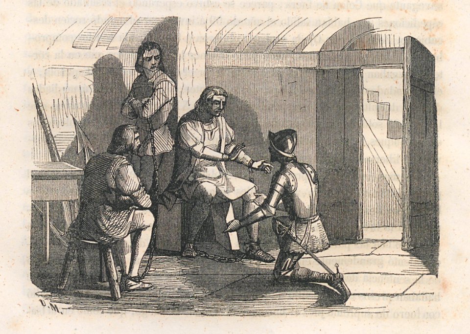
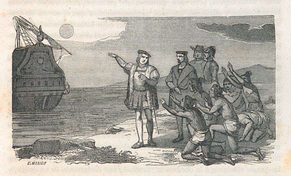
christopher columbus
engraving
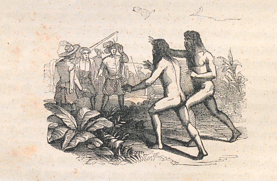
vegetables
engraving
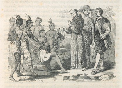
nativity
crew
vegetables
nativity
islands
canoe
collections of the museum of the american revolution
david martin (artist)
engraving
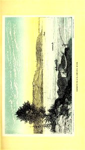
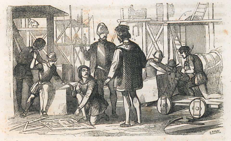
building
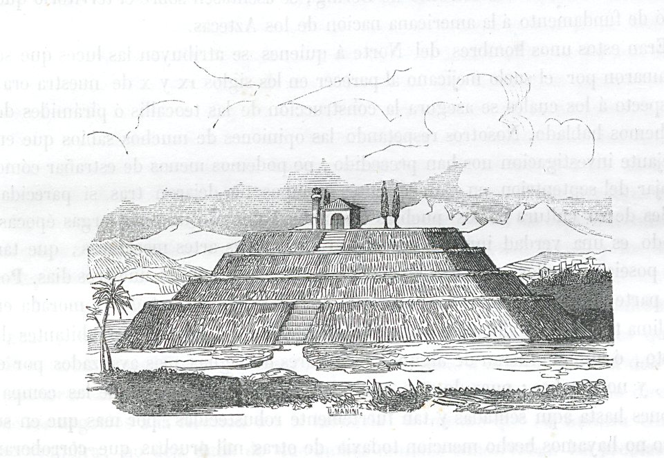
pyramid
mexico
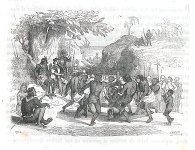
nativity
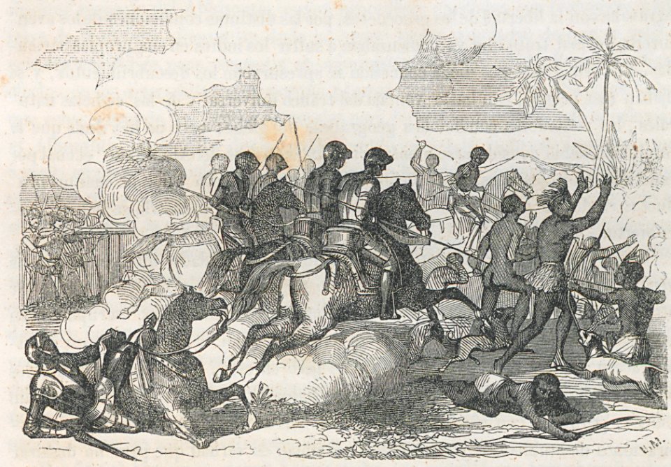
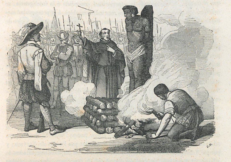
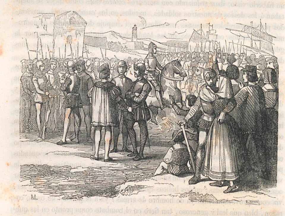
battle
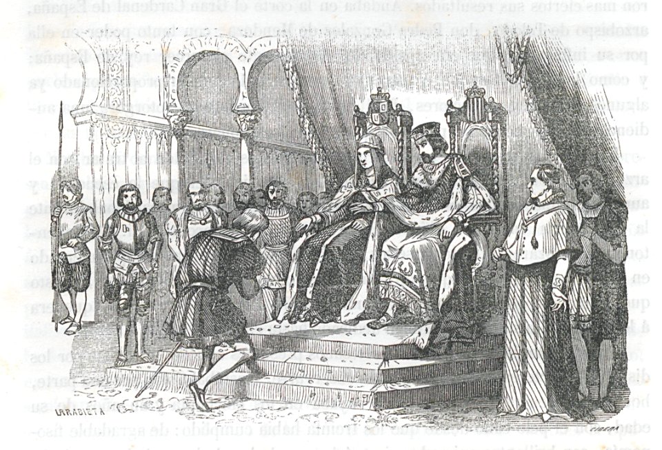
reyes católicos
engraving
engraving
nativity
crispijn van de passe (i)
amerigo vespucci
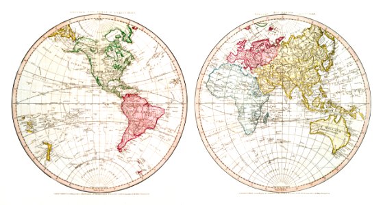
1760s maps of the americas
jean janvier
engraving
death
marine
boat
nativity
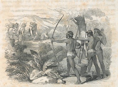
arrow
cramer and stoll:de uitlandsche kapellen volume 4
brangas getus
engraving
nativity
black and white portrait drawings of men
americus vespucius portrait
rené robert cavelier de la salle
historical images of louisiana
reception
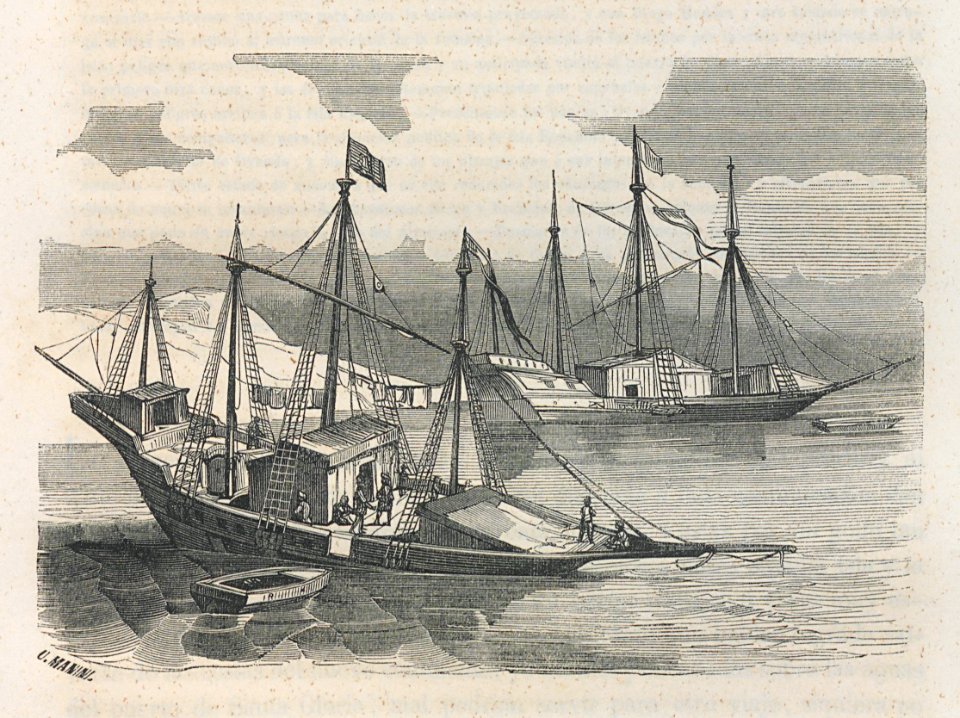
engraving
marine
boat
marine
boat
inquisitive
engraving
18th-century maps of north america
1708 maps of north america
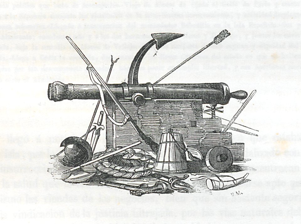
swords
rifles
engraving
debate
marine
boat
engraving
nativity
old maps of the western hemisphere
jacob van meurs
marine
boat
christopher columbus
engraving
engraving
nativity
crew
port
engraving
nativity
reyes católicos
engraving
marine
boat
nativity
crew
united states
new
united states
new
united states
new
united states
new
united states
new
united states
new
united states
new
nativity
swords
baptism
cuba
united states
new
1 - 100 of 273
Next page
/ 3