Log in
All resources
Create a design
26 Free Artworks of Division 41)
bibliothèque nationale de france
german renaissance
liber chronicarum, rijksmuseum amsterdam
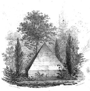
les mausolées français
impressionism
nypl the miriam and ira d. wallach division of art, prints and photographs: print collection
samuel putnam avery collection
division 13)
prints by édouard manet in the new york public library
édouard manet
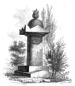
les mausolées français
division 41)
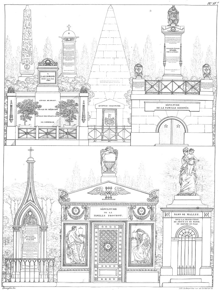
les mausolées français
division 13)
division 41)
division 37)
cretan-school icons of the crucifixion of christ
17th-century icons of greece
grave of craufurd (père-lachaise, division 41)
les mausolées français
17th-century maps of carmarthenshire
17th-century maps of pembrokeshire
drawings by george hendrik breitner in the rijksmuseum amsterdam
hague school
nypl the miriam and ira d. wallach division of art, prints and photographs: print collection
impressionism
nypl the miriam and ira d. wallach division of art, prints and photographs: print collection
impressionism
bibliothèque nationale de france
guillaume sanson
nypl the miriam and ira d. wallach division of art, prints and photographs: print collection
impressionism
l'empire d'allemagne divisé en ses dix cercles en leurs principaux estats. le royaume de bohême et les provinces qui en dépendent - nouvellement reveu et corrigé par le sieur sanson... ; lud. cordier... - btv1b532023318
sanson maps of the circles of germany
bibliothèque nationale de france
félix robaut
old maps of norway
guillaume sanson
harper's bazaar posters, 1894
posters by louis rhead
historical images of metropolitan cathedral of mexico city
lithographs of mexico
19th-century portrait lithographs of men
works by charles fenderich
works by j. c. leyendecker
santa claus in art
liber chronicarum, rijksmuseum amsterdam
german renaissance
liber chronicarum, rijksmuseum amsterdam
german renaissance
liber chronicarum, rijksmuseum amsterdam
german renaissance
liber chronicarum, rijksmuseum amsterdam
german renaissance
liber chronicarum, rijksmuseum amsterdam
german renaissance
maps by jodocus hondius
1590s maps of the world
africa in the 18th century
1794 maps of africa
africa in the 18th century
1794 maps of africa
1 - 26 of 26
/ 1


![Map of France divided by provinces and departments with the population of each capital and its distance from Paris in kilometers / lith. by F[éli]x Robaut, Félix Robaut, 1845](https://cdn.creazilla.com/illustrations/10000876748/map-of-france-divided-by-provinces-and-departments-with-the-population-of-each-capital-and-its-distance-from-paris-in-kilometers-lith-by-flix-robaut-flix-robaut-1845-sm.webp)


