Log in
All resources
Create a design
49 Free Artworks of Old Maps Of Norway
bibliothèque nationale de france
old maps of scandinavia
maps of the barents sea
dutch-language maps
guillaume sanson
old maps of the white sea
baptista van doetecum
northern sea route
1590s maps of norway
latin-language maps
third voyage of willem barentsz
16th-century maps of the arctic
third voyage of willem barentsz
16th-century maps of the arctic
third voyage of willem barentsz
history of dutch sea fisheries
third voyage of willem barentsz
history of dutch sea fisheries
third voyage of willem barentsz
16th-century maps of the arctic
the voyage of the vega round asia and europe
third voyage of willem barentsz
overwintering on nova zembla by willem barentsz, 1596-1597
maps in the rijksmuseum amsterdam
itinerario (jan huygen van linschoten)
latin-language maps
overwintering on nova zembla by willem barentsz, 1596-1597
maps in the rijksmuseum amsterdam
old maps of aust-agder
old maps of telemark
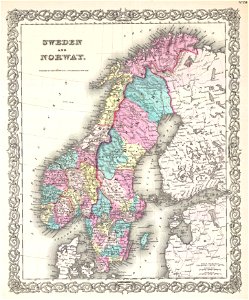
19th-century maps of sweden
old maps of jämtland county
old maps of scandinavia
1855 maps
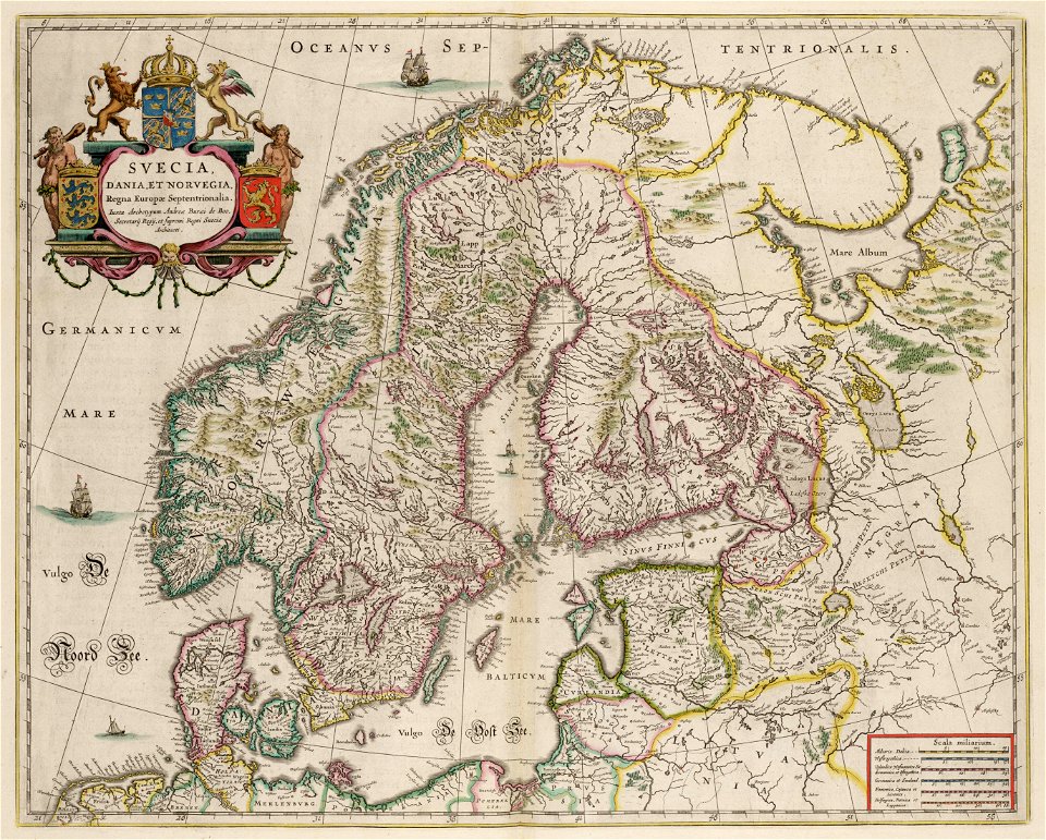
maps by willem and johannes blaeu
copper engraving
old maps of scandinavia
johannes ratelband
maps with cartouches
atlas van der hagen
1780 maps of finland
1780 maps of norway
itinerario (jan huygen van linschoten)
latin-language maps
itinerario (jan huygen van linschoten)
latin-language maps
1900 maps of russia
1900 maps of china
old maps of finnmark
old maps of troms
maps by cornelis anthonisz.
1560 maps of europe
maps by pieter van der keere
maps with cartouches
den danske hærs historie til nutiden og den norske hærs historie indtil 1814
maps from the mechanical curator collection
maps from the mechanical curator collection available to georeference
maps from the mechanical curator collection
old maps of norway
guillaume sanson
old maps of norway
guillaume sanson
atlas maior, vol 1 (northern europe, norway, and denmark) - joan blaeu, 1667 - bl 114.h(star).1
1667 maps
old maps of the nordic region
1840 maps
old maps of norway
guillaume sanson
maps by pieter van der keere
1600s maps of norway
old maps of norway
guillaume sanson
old maps of norway
guillaume sanson
atlas maior, vol 1 (northern europe, norway, and denmark) - joan blaeu, 1667 - bl 114.h(star).1
1667 maps
old maps of vardø
guillaume sanson
old maps of vardø
guillaume sanson
old maps of norway
guillaume sanson
old maps of finnmark
1890s maps of norway
old maps of norway
guillaume sanson
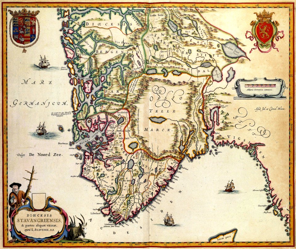
old maps of rogaland
history of stavanger
old maps of norway
guillaume sanson
voyages de la commission scientifique du nord, en scandinavie, en laponie, au spitzberg et aux feröe
19th-century maps of norway
old maps of norway
guillaume sanson
old maps of norway
guillaume sanson
maps by willem and johannes blaeu
1630s maps of the world
lucas janszoon waghenaer
1588 maps of norway
cartography and geographical illustrations of the wehrmacht
trondheim in the 1940s
old maps of stavanger
old maps of rogaland
old maps of møre og romsdal
stadlandet
thomas onwhyn
britannia
1 - 49 of 49
/ 1