Log in
All resources
Create a design
405 Free Artworks of Caribbean
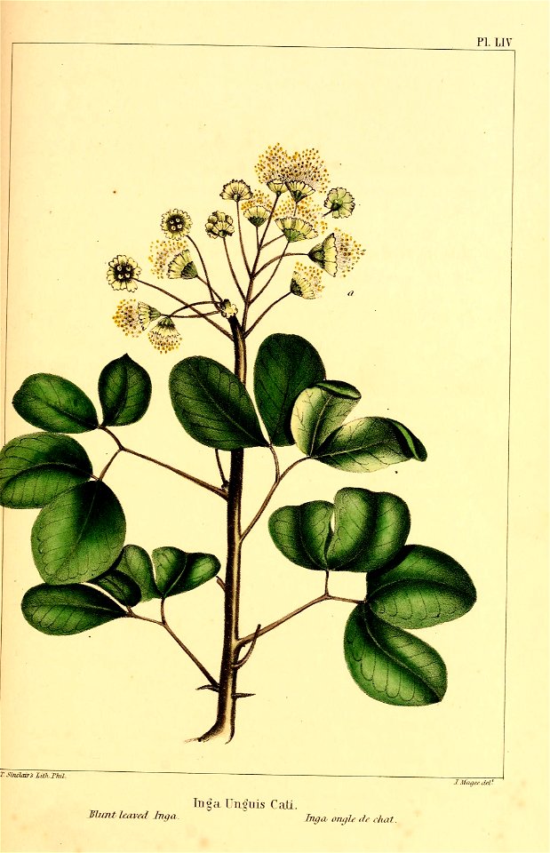
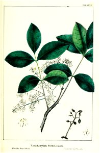
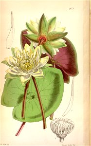
flower
bibliothèque nationale de france
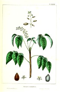
tree
north america
leaves
geo:country=united states
geo:continent=north america
university of pittsburgh library system (archive.org)
fruits
geo:state=florida
a popular history of the mexican people (1888)
reconstructions of old maps
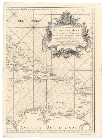
1782 maps of the caribbean
maps by juan lopez
fruits
tree
prints from bartolomé de las casas regionum
anacaona
abstract
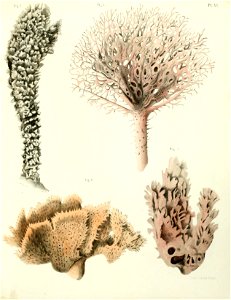
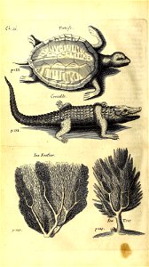
sponge
fruits
tree
flower
tree
arnold's geographical handbook (1899)
1899 maps of the caribbean
arnold's geographical handbook (1899)
1899 maps of the caribbean
john corbett (royal navy officer)
history of santo domingo
1890s maps of central america
1890s maps of the caribbean
a map of the british empire in america with the french and spanish settlements adjacent thereto
1730s maps of the caribbean
cartouches by sanson family
pierre mariette i
atlas sive cosmographicae (gerardus mercator, 1623)
maps of the caribbean by mercator-hondius
arnold's geographical handbook (1899)
1899 maps of the caribbean
guillaume-thomas raynal
1775 books
maps by louis brion de la tour
1782 maps of the caribbean
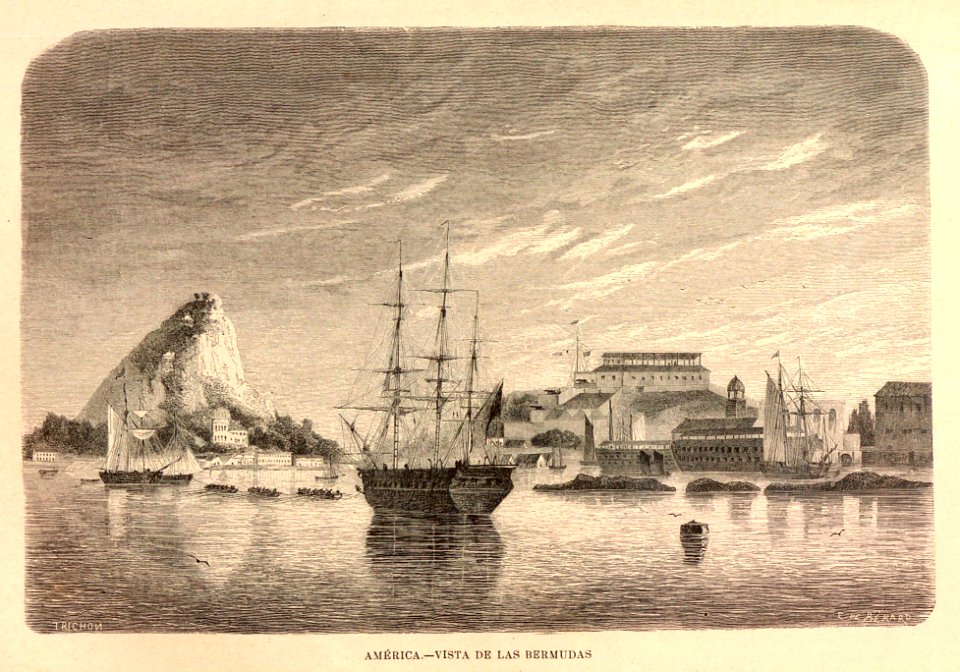
travel
boat
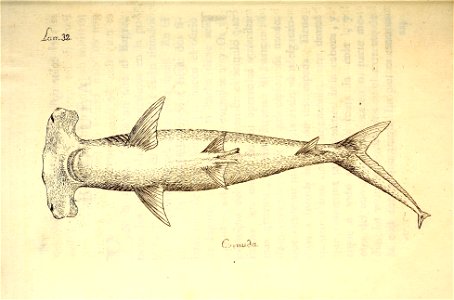
shark
cuba
fruits
tree
atlas minor gerardi mercatoris (1614, maps)
maps of the caribbean by mercator-hondius
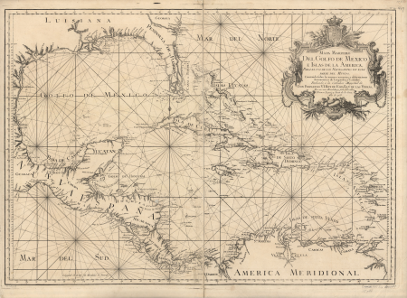
mexico
maps
maps in the library of congress
1750s maps of the caribbean
fruits
tree
caribbean
etc
caribbean
etc
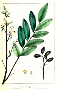
flower
tree
fruits
tree
1750s maps of central america
maps by tomas lopez
caribbean
fish
caribbean
etc
caribbean
etc
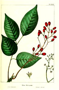
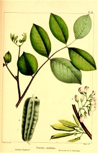
flower
botany
fruits
tree
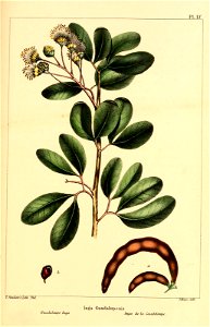
ornament
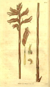
plants
fruits
tree
maps of the caribbean by mercator-hondius
bibliothèque nationale de france
juan de la cruz cano y olmedilla
1755 maps of north america
prints by matthäus merian in the statens museum for kunst
baroque
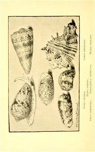
mollusca
shell
fruits
tree
fruits
tree
william elliott (lieutenant)
hms ruby (ship, 1776)
1876 maps of north america
1876 maps of the caribbean
a map of the british empire in america with the french and spanish settlements adjacent thereto
1730s maps of the caribbean
fruits
tree
1750s maps of the caribbean
maps by thomas kitchin
maps from the earth and its inhabitants, vol. xvi
1890s maps of the caribbean
journal de bruxelles nr 76
1799 in paris
fruits
tree
maps of the west indies federation
1810s maps of the caribbean
1890s maps of the caribbean
brethren of the coast
pieter balthazar bouttats
discovery of america
a map of the british empire in america with the french and spanish settlements adjacent thereto
1730s maps of the caribbean
a map of the british empire in america with the french and spanish settlements adjacent thereto
1730s maps of the caribbean
juan de la cruz cano y olmedilla
1750s maps of the caribbean
halloween
mermaid
1800s maps of the caribbean
charles picquet
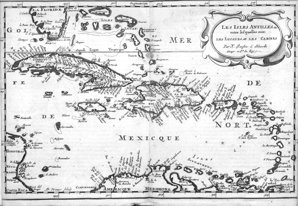
1685 maps of the caribbean
description de l'universe
1696 maps of the caribbean
1690s maps of mexico
maps from the earth and its inhabitants, vol. xvi
1870s maps of panama
maximiano errázuriz valdivieso
josé tomás errázuriz
prints from bartolomé de las casas regionum
anacaona
1803 maps of the caribbean
maps by john cary
maps from the earth and its inhabitants, vol. xvi
1870s maps of panama
maps from the earth and its inhabitants, vol. xvi
maps of central america
paintings in the national maritime museum, london
john cleveley the elder
william henry toms
henry popple
japan
shell
the comprehensive history of england (1876)
english-language maps showing history
maps from the earth and its inhabitants, vol. xvi
old maps of central america
art of suriname in the rijksmuseum amsterdam
boats in suriname
a map of the british empire in america with the french and spanish settlements adjacent thereto
maps in the library of congress
a map of the british empire in america with the french and spanish settlements adjacent thereto
maps in the library of congress
the comprehensive history of england (1876)
english-language maps showing history
art of suriname in the rijksmuseum amsterdam
dioramas by gerrit schouten
british prints in the rijksmuseum amsterdam
pierre-charles canot
maps in the library of congress
1763 maps of north america
maps in the library of congress
cartes et plans de l'amerique
art of suriname in the rijksmuseum amsterdam
dioramas by gerrit schouten
maps in the rijksmuseum amsterdam
published by frans buffa & zonen
design drawings in the rijksmuseum amsterdam
willem crul
illustration
plants
maps in the rijksmuseum amsterdam
published by frans buffa & zonen
maps in the library of congress
1752 maps of north america
maps in the rijksmuseum amsterdam
published by frans buffa & zonen
maps in the rijksmuseum amsterdam
published by frans buffa & zonen
maps in the rijksmuseum amsterdam
published by frans buffa & zonen
illustration
fruits
chromolithographs in the rijksmuseum amsterdam
published by frans buffa & zonen
old maps of the western hemisphere
jacob van meurs
maps by jean-baptiste bourguignon d'anville
1750s maps of the caribbean
geschiedenissen der vereenigde nederlanden voor de vaderlandsche jeugd
drawings by jacobus buys in the rijksmuseum amsterdam
françois bohn
willem crul
1790s maps of central america
1790s maps of cuba
etchings in the rijksmuseum amsterdam
willem crul
chromolithographs in the rijksmuseum amsterdam
published by frans buffa & zonen
de nieuwe groote lichtende zee-fakkel (rijksmuseum)
maps in the rijksmuseum amsterdam
chromolithographs in the rijksmuseum amsterdam
fort oranje, oranjestad
19th-century sailing ships in paintings
19th-century paintings of naval battles
301 - 400 of 405
Next page
/ 5