Log in
All resources
Create a design
84 Free Artworks of 18th Century Maps Of London
bibliothèque nationale de france
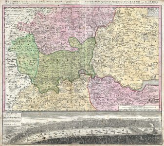
chorographia britanniae (1741-1742)
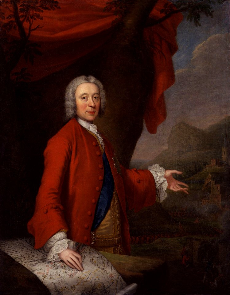
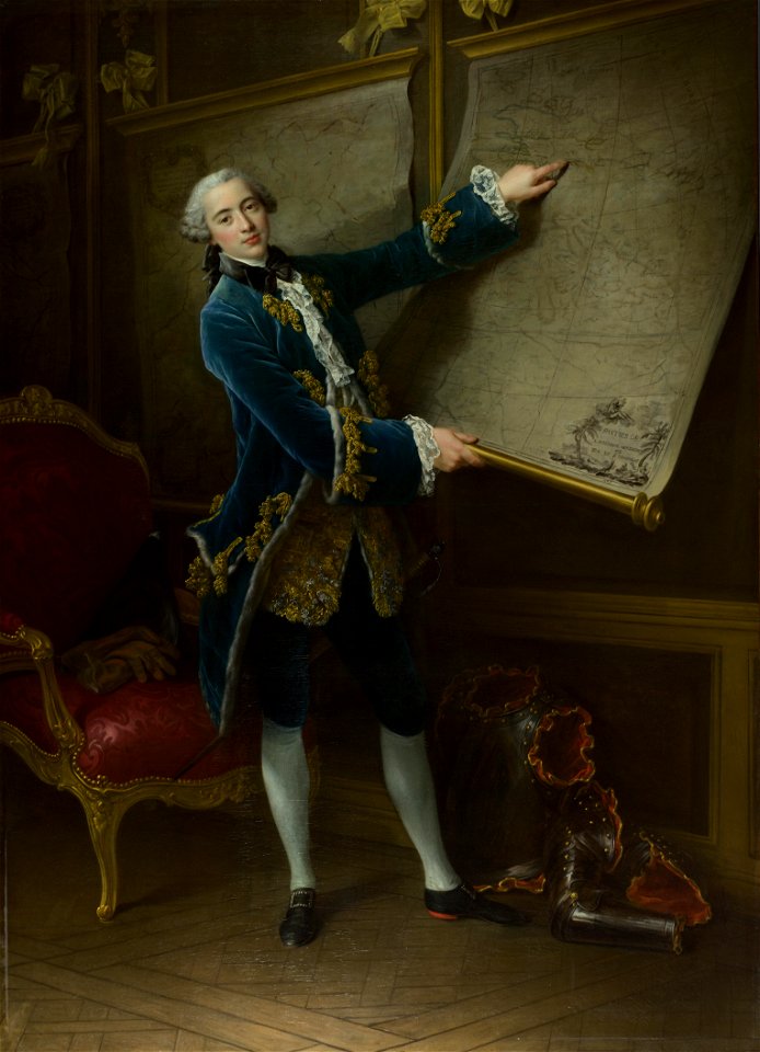
maps in portrait paintings
maps by thomas kitchin
thomas kitchin
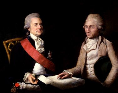
18th-century men of great britain
old county maps of hertfordshire
oil on canvas
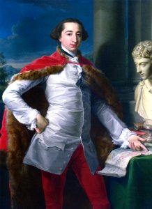
portrait
18th-century maps of england and wales
18th-century maps of london
johann baptist homann
artist missing
london
printing
london
british east india company
london
a.de la motraye's travels through europe, asia, and into part of africa (1723) by la mottraye
18th-century maps of stockholm
sash of the order of the garter in portrait paintings
london
erlanger family
london
london
male
1st baronet
london
domenico pellegrini
london
maps of dioceses of the church of england
18th-century maps of hertfordshire
male portrait paintings by françois-hubert drouais
joseph hyacinthe, comte de vaudreuil
18th-century portrait paintings in tate britain
male portrait paintings by francis cotes
old maps of the london borough of tower hamlets
maps by john pine
18th-century portrait paintings in the national maritime museum, london
john francis rigaud
john campbell, 2nd duke of argyll
thomas bardwell
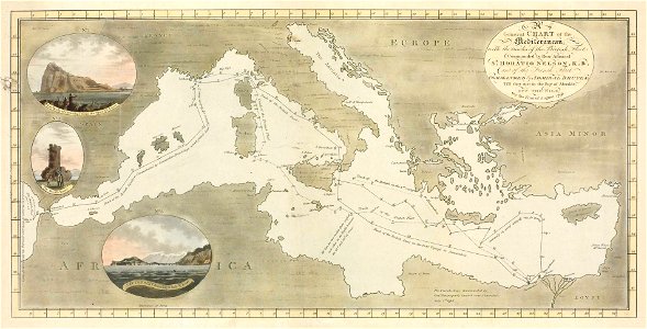
18th-century maps of the sea of marmara
18th-century maps of the dardanelles
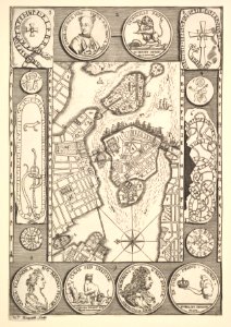
maps of paris from the university of wisconsin-milwaukee libraries
18th-century maps of paris
a set of fifty new and correct maps of england and wales
old county maps of northamptonshire
maps of the history of morocco
empire of morocco
turgot map of paris, norman b. leventhal map center
sheet 19 of the turgot map of paris
old maps of the polish-lithuanian commonwealth
1790s maps of poland
old county maps of hertfordshire
maps by thomas kitchin
map of the german empire by louis stanislas d'arcy de la rochette
1782 maps of the holy roman empire
18th-century maps of the indian ocean
bodleian maps collection
maps from the mechanical curator collection
1760
maps in the library of congress
1758 maps
chorographia britanniae (1741-1742)
18th-century maps of cornwall
chorographia britanniae (1741-1742)
18th-century maps of kent
chorographia britanniae (1741-1742)
18th-century maps of essex
chorographia britanniae (1741-1742)
18th-century maps of sussex
thomas milton
1739 maps
18th-century maps of edinburgh-shire
maps of scotland by herman moll
maps by john cary
1811 maps
18th-century maps of nottinghamshire
chorographia britanniae (1741-1742)
chorographia britanniae (1741-1742)
18th-century maps of northumberland
18th-century maps of huntingdonshire
chorographia britanniae (1741-1742)
chorographia britanniae (1741-1742)
18th-century maps of westmorland
chorographia britanniae (1741-1742)
18th-century maps of cumberland
chorographia britanniae (1741-1742)
18th-century maps of middlesex
chorographia britanniae (1741-1742)
18th-century maps of monmouthshire
chorographia britanniae (1741-1742)
18th-century maps of cambridgeshire
18th-century maps of england and wales
chorographia britanniae (1741-1742)
chorographia britanniae (1741-1742)
18th-century maps of staffordshire
chorographia britanniae (1741-1742)
18th-century maps of hampshire
chorographia britanniae (1741-1742)
18th-century maps of hertfordshire
chorographia britanniae (1741-1742)
18th-century maps of surrey
chorographia britanniae (1741-1742)
18th-century maps of leicestershire
chorographia britanniae (1741-1742)
18th-century maps of devon
chorographia britanniae (1741-1742)
old county maps of county durham
chorographia britanniae (1741-1742)
18th-century maps of yorkshire
chorographia britanniae (1741-1742)
18th-century maps of lincolnshire
18th-century maps of buckinghamshire
chorographia britanniae (1741-1742)
18th-century maps of northamptonshire
chorographia britanniae (1741-1742)
chorographia britanniae (1741-1742)
18th-century maps of dorset
chorographia britanniae (1741-1742)
18th-century maps of somerset
chorographia britanniae (1741-1742)
18th-century maps of berkshire
18th-century maps of gloucestershire
chorographia britanniae (1741-1742)
chorographia britanniae (1741-1742)
18th-century maps of cheshire
chorographia britanniae (1741-1742)
18th-century maps of worcestershire
chorographia britanniae (1741-1742)
18th-century maps of warwickshire
chorographia britanniae (1741-1742)
18th-century maps of suffolk
chorographia britanniae (1741-1742)
18th-century maps of shropshire
18th-century maps of herefordshire
old county maps of herefordshire
18th-century maps of norfolk, england
chorographia britanniae (1741-1742)
chorographia britanniae (1741-1742)
18th-century maps of rutland
chorographia britanniae (1741-1742)
18th-century maps of bedfordshire
chorographia britanniae (1741-1742)
18th-century maps of derbyshire
chorographia britanniae (1741-1742)
18th-century maps of wiltshire
lawrence h. slaughter collection of english maps, charts, globes, books and atlases
nypl lionel pincus and princess firyal map division
18th-century maps of cornwall
maps by thomas kitchin
chorographia britanniae (1741-1742)
18th-century maps of lancashire
david rumsey historical map collection
1790s maps of the holy roman empire
maps in the library of congress
1755 maps of north america
old county maps of hertfordshire
maps by thomas kitchin
18th-century maps of england and wales
chorographia britanniae (1741-1742)
maps of rodrigues island
old maps of mauritius
1770s maps of alaska
robert de vaugondy
18th-century maps of england and wales
chorographia britanniae (1741-1742)
a description of the east, and some other countries (1743) knapton
18th-century maps of the aegean sea
a description of the east, and some other countries (1743) knapton
rococo
18th-century maps of england and wales
chorographia britanniae (1741-1742)
prints, drawings and watercolours of the royal museums greenwich
william henry toms
a description of the east, and some other countries (1743) knapton
18th-century maps of the sea of marmara
1 - 84 of 84
/ 1


![[The Coast of Mallabar by John Corner, 1741], John Corner](https://cdn.creazilla.com/illustrations/10000515559/the-coast-of-mallabar-by-john-corner-1741-john-corner-md.jpg)


