Log in
All resources
Create a design
17 Free Artworks of 18th Century Maps Of Guinea
maps connecting australia and new guinea
carte de barbarie, nigritie, guinée par guillaume delisle (1707)
18th-century maps of new guinea
engraving on paper
koninklijke bibliotheek
maps by jakob van der schley
jakob van der schley
maps connecting australia and tasmania
18th-century double hemisphere world maps
maps of the world without antarctica
carte de barbarie, nigritie, guinée par guillaume delisle (1707)
maps in the library of congress
18th-century maps of the malay archipelago
18th-century maps of sulawesi
maps by jacques-nicolas bellin
maps by jakob van der schley
maps by guillaume delisle
philippe buache
18th-century double hemisphere world maps
1720s maps of the world
maps of the dutch east india company - australia
old maps of the dutch east india company
maps of the world with orthographic projection
maps of the world without antarctica
18th-century maps of the indian ocean
18th-century maps of southeast asia
maps of the dutch east india company - indonesia
18th-century maps of new guinea
18th-century maps of morocco
1700s maps of algeria
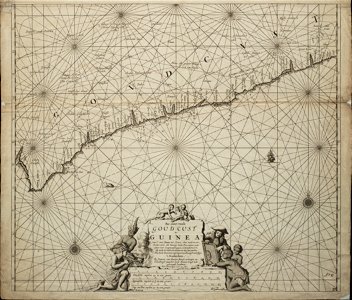
old maps of the dutch gold coast
engravings by jan luyken
carte de barbarie, nigritie, guinée par guillaume delisle (1707)
1718 maps of africa
africa in the 18th century
1794 maps of africa
1740s maps of the world
maps by emanuel bowen
18th-century maps of antarctica
1741 maps
africa in the 18th century
1794 maps of africa
navigantium atque itinerantium bibliotheca
1744 fleurons
1 - 17 of 17
/ 1