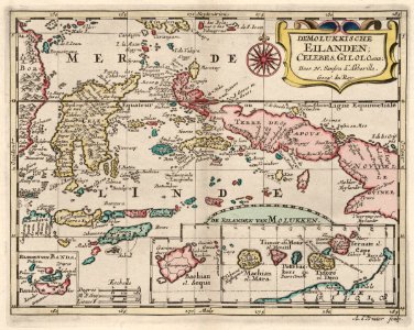
Map of the Moluccas., Adriaan de Winter, circa 1705
Map of the moluccas. De molukkische eilanden; celebes, gilolo. Enz. Date: circa 1705. Dimensions: height: 20.5 cm (8 in); width: 25.5 cm (10 in). Medium: engraving on paper. Collection: Koninklijke Bibliotheek. AMH-6667-KB Map of the Moluccas