Log in
All resources
Create a design
105 Free Artworks of 1710 Maps
maps in the rijksmuseum amsterdam
description de l'universe
1710s maps of the world
prints of cartouches in the rijksmuseum amsterdam
anna beeck
bibliothèque nationale de france
prints published by pieter schenk (ii)
abraham allard
joachim ottens
alain manesson mallet
kaart van het baljuwschap kennemerland
maps in the rijksmuseum amsterdam
johann baptist homann
latin-language maps
french-language maps
1710 maps
hatched coats of arms
atlantic ocean
old maps of the danube
french-language maps
coats of arms of baden-württemberg
1710 maps
coats of arms of baden-württemberg
duke of württemberg
description de l'universe
1710s maps of egypt
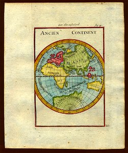
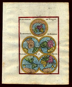
description de l'universe
1710s maps of the world
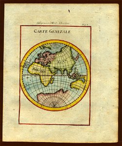
description de l'universe
1710s maps of the world
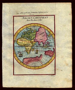
description de l'universe
1710s maps of the world
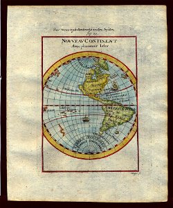
description de l'universe
1710s maps of the world
description de l'universe
1710s maps of the world
description de l'universe
1710s maps of the world
description de l'universe
1710s maps of the world
gabriel bodenehr
1715 maps
description de l'universe
alain manesson-mallet
old maps of the dutch east india company
1710
description de l'universe
1710s maps of the world
old maps of greece
old maps of crete
description de l'universe
1710s maps of the world
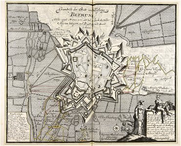
old maps of béthune
1710
description de l'universe
1710s maps of the world
description de l'universe
1710s maps of the world
atlantis magni tomus quintus (biblioteca comunale di trento)
maps made in the 18th century
old maps of zeeland
western scheldt
merksem
lillo
war of the spanish succession
1710
maps of dioceses of the church of england
18th-century maps of hertfordshire
synopsis universae philologiae
1710s maps of the world
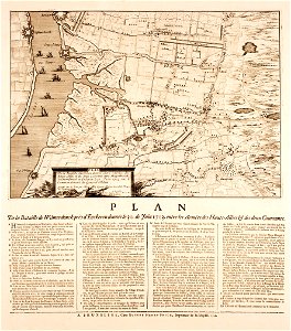
plan of paris by bullet and blondel
maps of paris from geographicus
1710s maps of eastern europe
1710s maps of the balkans
old maps of the hague
old maps of delfland
old maps of the hague
old maps of delfland
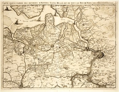
18th-century maps of antwerp
maps of antwerp city walls
old maps of île de la cité
old submaps of paris
maps of mons city walls (hainaut)
old maps of mons (hainaut)
1710s maps of eastern europe
muscovy
maps of aire-sur-la-lys city walls
old maps of aire-sur-la-lys
maps in the rijksmuseum amsterdam
maps by frederick de wit
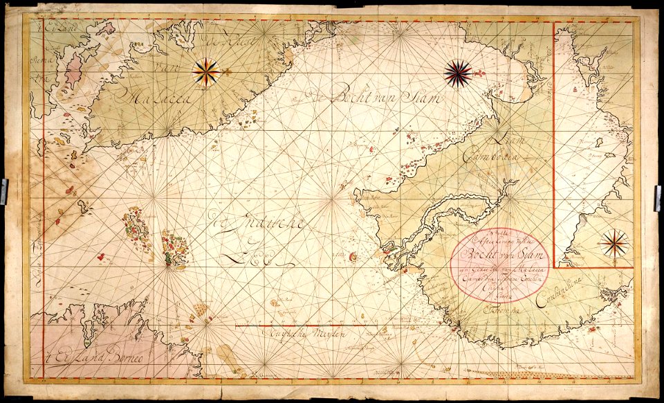
18th-century maps of the malay archipelago
18th-century maps of southeast asia
1710s maps of the world
maps by edward wright
maps of paris from the open data hauts-de-seine
1710s maps of paris
images released by british library images online, march 2014
totius neobelgii nova et accuratissima tabula (1710)
maps from the mechanical curator collection available to georeference
maps from the mechanical curator collection
plan de paris levé par les ordres du roy, 1900
proletarian literature
atlas schoemaker-zeeland
old maps of vlissingen
maps from the earth and its inhabitants, vol. xii
maps of africa
description de l'universe
1710s maps of canada
atlas schoemaker-noord-holland
maps of meeresteijn
eran laor cartographic collection
elias baeck
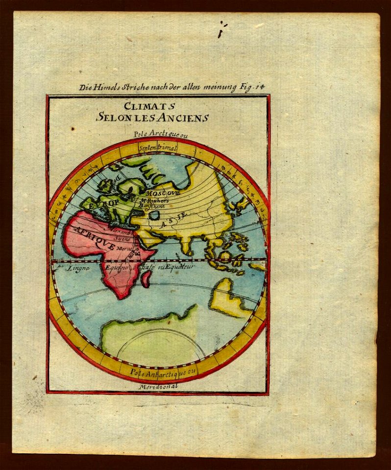
old maps of the eastern hemisphere
1710s maps of the world
alphonsus lasor a varea
maps by jodocus hondius
old maps of île de la cité
jean-baptiste scotin
old maps of the eastern hemisphere
1710s maps of the world
atlas schoemaker-friesland
maps of dantumadiel
old maps of the eastern hemisphere
1710s maps of the world
engravings by romeyn de hooghe
engravings by jan luyken
maps in the rijksmuseum amsterdam
abraham allard
description de l'universe
1710s maps of indonesia
etchings in the rijksmuseum amsterdam
maps in the rijksmuseum amsterdam
eran laor cartographic collection
pieter schenk (ii)
maps from university of amsterdam special collections
atlas der neederlanden
maps in the rijksmuseum amsterdam
abraham allard
map of the circle of swabia by sanson
bibliothèque nationale de france
maps by pieter mortier
maps from gallica
old maps of the environments of paris
maps by alexis-hubert jaillot
atlas schoemaker-noord-holland, waterland
maps of polders in north holland
maps from the earth and its inhabitants, vol. xii
1710s maps of africa
prints of cartouches in the rijksmuseum amsterdam
maps in the rijksmuseum amsterdam
maps in the rijksmuseum amsterdam
18th-century maps of antwerp
prints of cartouches in the rijksmuseum amsterdam
maps in the rijksmuseum amsterdam
description de l'universe
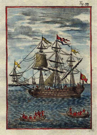
1710s ships
maps in the rijksmuseum amsterdam
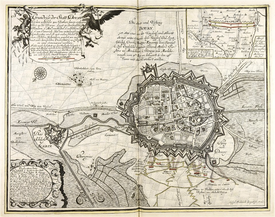
anna beeck
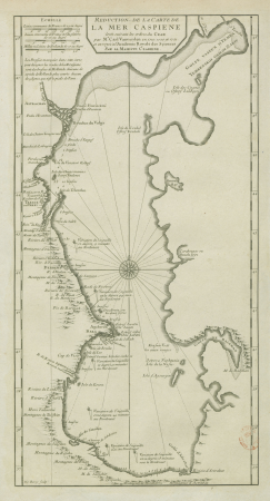
18th-century maps of the caspian sea
claude auguste berey
prints of cartouches in the rijksmuseum amsterdam
maps in the rijksmuseum amsterdam
maps in the rijksmuseum amsterdam
anna beeck
prints of cartouches in the rijksmuseum amsterdam
maps in the rijksmuseum amsterdam
kunstdenkmäler der stadt frankfurt a. o. 1912
old maps of frankfurt (oder)
maps in the rijksmuseum amsterdam
johannes van den aveelen
prints of cartouches in the rijksmuseum amsterdam
maps in the rijksmuseum amsterdam
maps in the rijksmuseum amsterdam
maps by gerard valck
maps in the rijksmuseum amsterdam
maps by gerard valck
maps in the rijksmuseum amsterdam
maps by gerard valck
maps in the rijksmuseum amsterdam
johannes van den aveelen
description de l'universe
1710s maps of ethiopia
magni ducatus lithuaniae
1710s maps of lithuania
magazine fort, dublin
maps by john rocque
album met het prentwerk schouwtoneel van den oorlog
maps in the rijksmuseum amsterdam
album met het prentwerk schouwtoneel van den oorlog
maps in the rijksmuseum amsterdam
album met het prentwerk schouwtoneel van den oorlog
maps in the rijksmuseum amsterdam
album met het prentwerk schouwtoneel van den oorlog
maps in the rijksmuseum amsterdam
prints published by pieter schenk (ii)
maps in the rijksmuseum amsterdam
maps in the rijksmuseum amsterdam
joachim ottens
maps in the rijksmuseum amsterdam
works after adriaen van de velde
prints of cartouches in the rijksmuseum amsterdam
maps in the rijksmuseum amsterdam
maps of texel
caspar specht
prints of cartouches in the rijksmuseum amsterdam
maps in the rijksmuseum amsterdam
etchings in the rijksmuseum amsterdam
prints published by leonard schenk
maps in the rijksmuseum amsterdam
caspar specht
1 - 100 of 105
Next page
/ 2