Log in
All resources
Create a design
352 Free Images of Old Maps Of The World
world map
vintage maps
vintage
poster
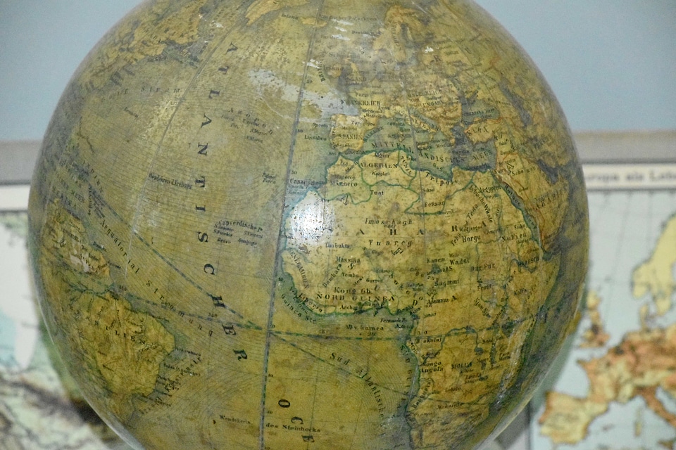
globe
antique map
earth
maps antique
atlas
vintage poster
holiday
maps
17th-century maps of iceland
copper engravings
travel
maps
australia
maps
old maps of the world
1846 maps
australia
maps
cartography
maps
illustrations of cosmographia (münster)
old maps of the world
globe
maps
illustrations of cosmographia (münster)
old maps of the world
illustrations of cosmographia (münster)
old maps of the world
old maps of frisland
maps by coronelli
globe
maps
old maps of the world
1899 maps
hand-drawn maps and views of world war i battlefields by h.m.
old maps of wallachia
printing
maps
earth
maps
vintage
maps
illustration
maps
globe
maps
vintage
maps
hand-drawn maps and views of world war i battlefields by h.m.
old maps of albania
globe
maps
illustration
maps
1620s maps of the world
1621 maps
old maps of the middle east
old maps of greece
vintage
maps
globe
maps
hand-drawn maps and views of world war i battlefields by h.m.
old maps of cameroon
description de l'universe
old maps of the world
maps
art
old maps of the dutch east india company
1786
old maps of the dutch east india company
1622
hand-drawn maps and views of world war i battlefields by h.m.
old maps of the english channel
landscape
maps
world
maps
australia
maps
vintage
maps
illustrations of cosmographia (münster)
old maps of the world
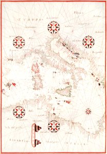
old maps of the atlantic ocean
maps of the north atlantic
paintings in the art gallery of south australia
old map
maps
sea
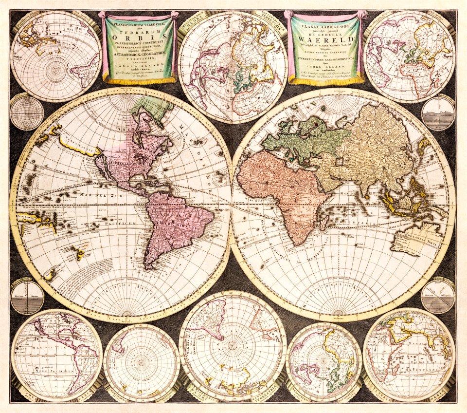
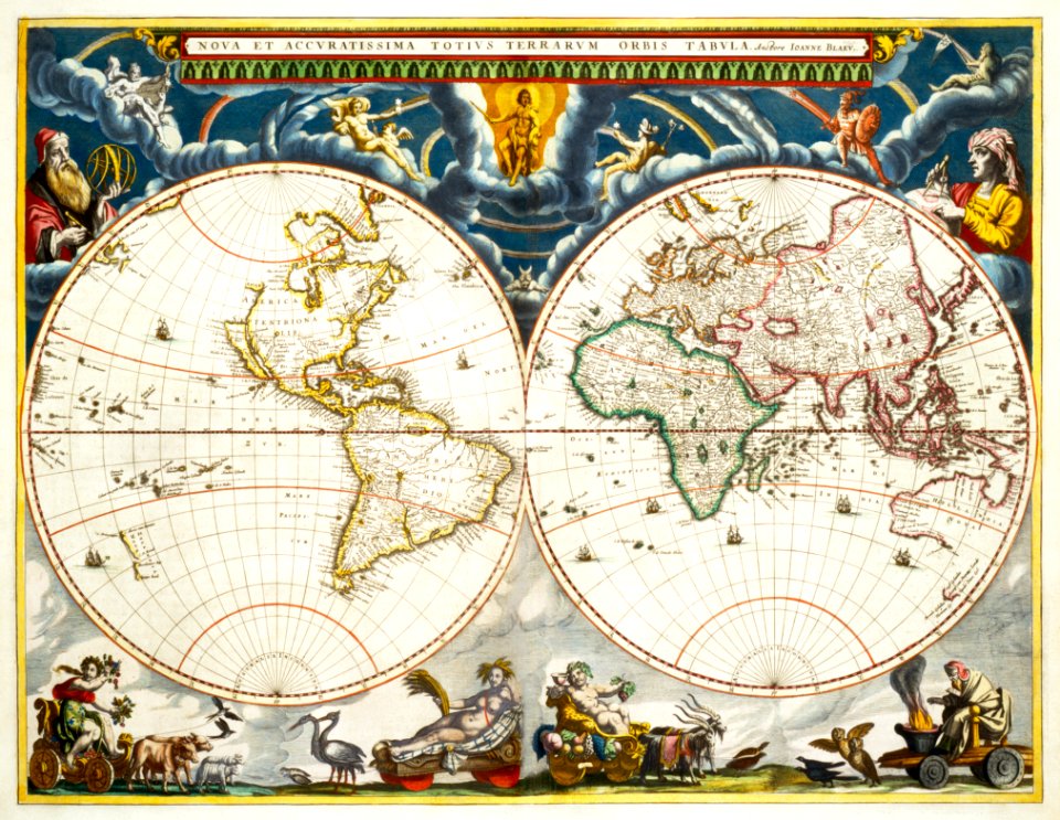
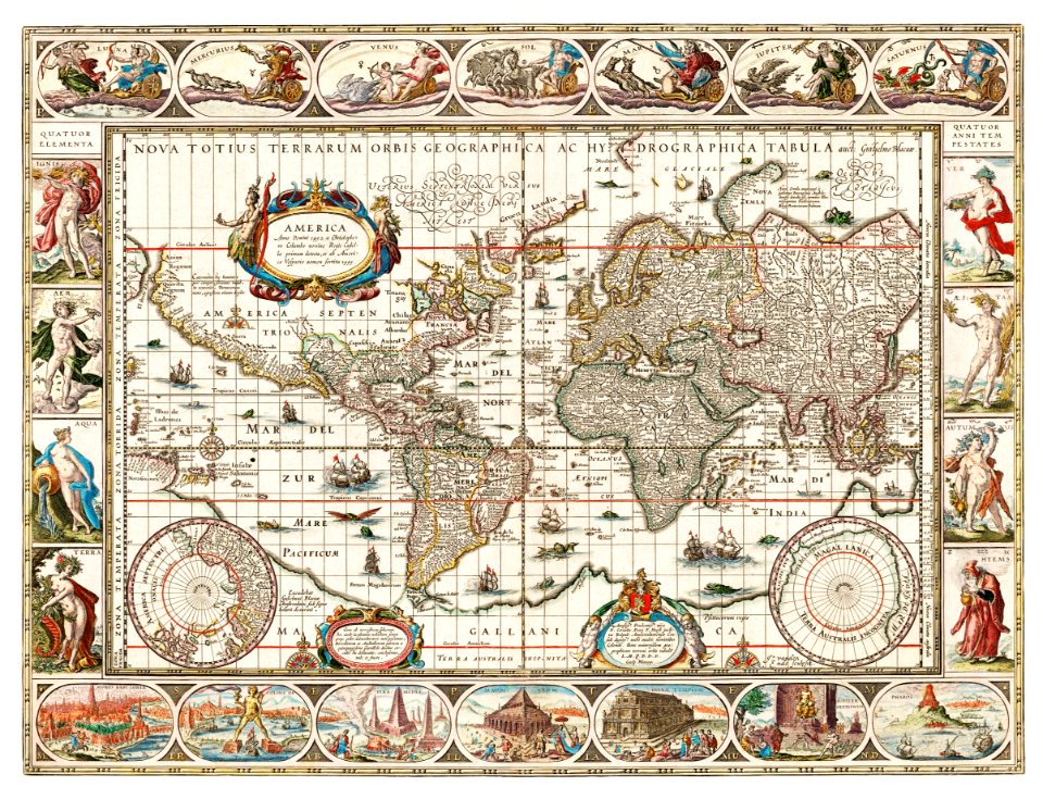
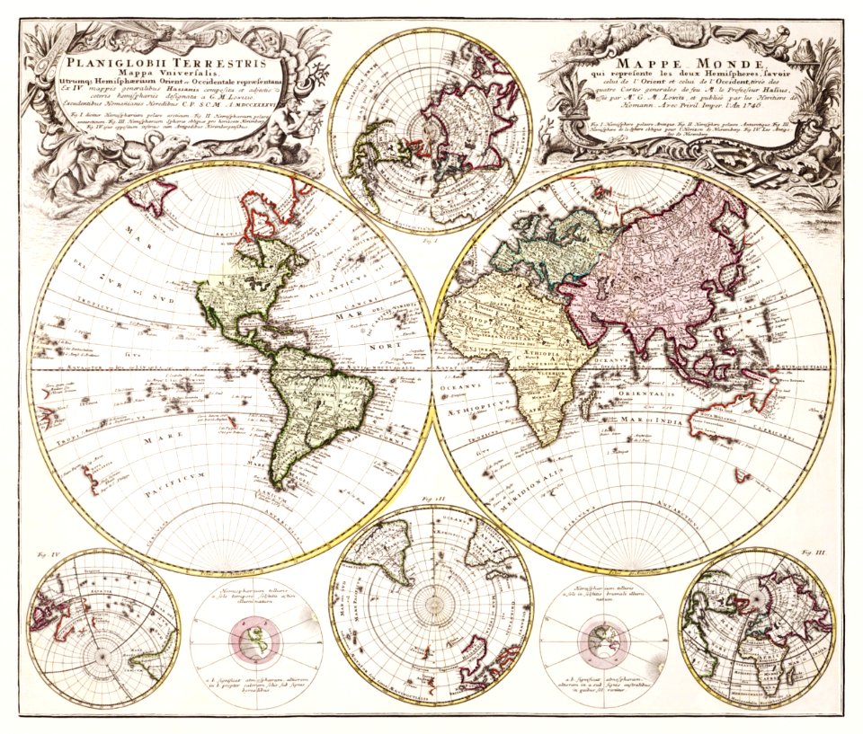
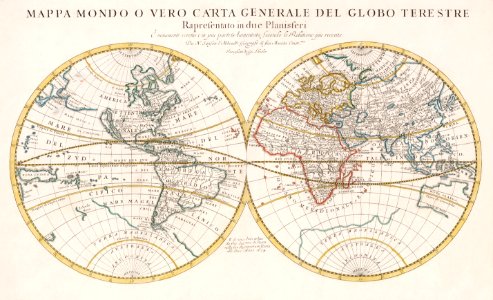
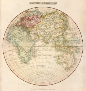
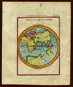
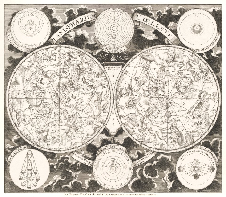
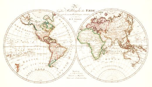
old maps of earth's hemispheres
double hemisphere world maps
maps made in the 17th century
old maps of the world
double hemisphere world maps
old celestial maps
old maps of the dutch east india company
1750
old maps of the dutch east india company
1730s
australia
maps
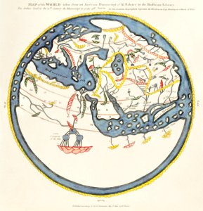
files from the bodleian libraries
old maps of the world
world map
maps
old maps of earth's hemispheres
western hemisphere
globe
maps
old map
vintage
maps
world
maps
australia
maps
double hemisphere world maps
old maps of the world
vintage
maps
world war ii in rennes
old maps of rennes
description de l'universe
old maps of the world
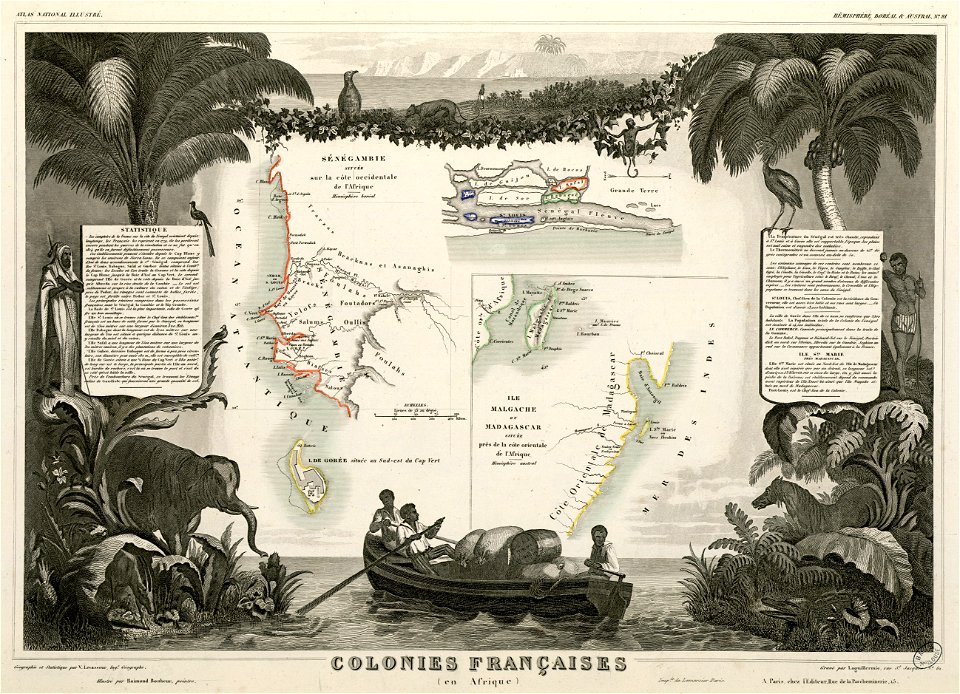
africa
maps
africa
maps
maps by frederick de wit
copper engraving
old maps of austria-hungary
austro-hungarian army
australia
maps
english-language maps
maps of voyages
prints from bonne atlas de toutes les parties at the peace palace library
world map
illustration
maps
pointing in art
theodor de bry
victor levasseur - maps of the world
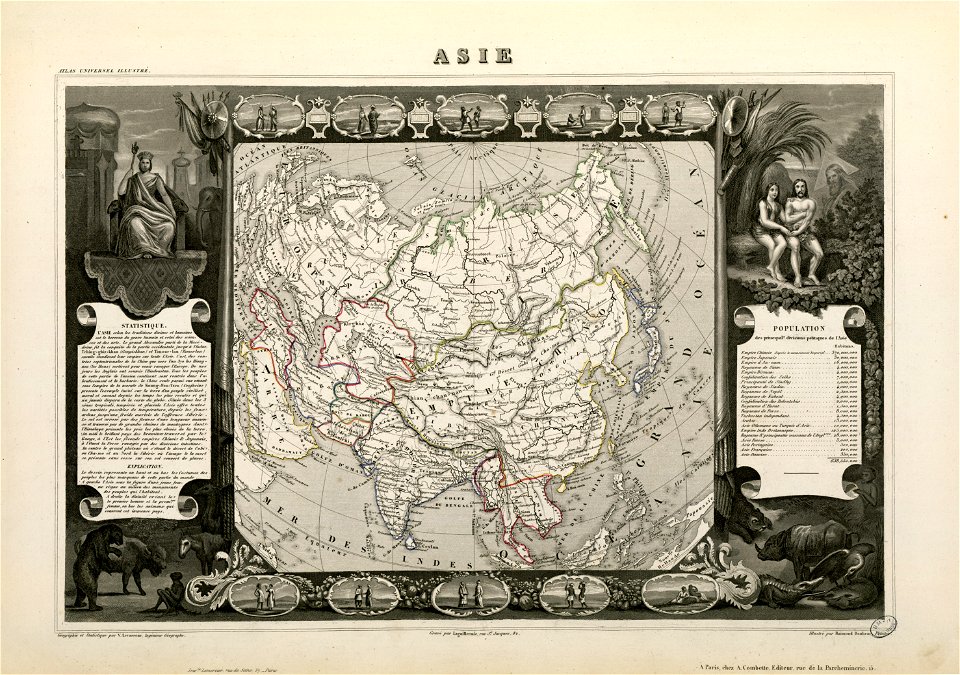
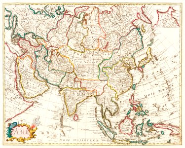
old maps of asia
australia
maps
australia
maps
world map
maps
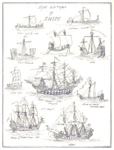
old ships
maps
world map
project
people
maps
illustration
maps
victor levasseur - maps of the world
frédéric-auguste laguillermie
travel
maps
architecture
world map
earth
maps
illustration
maps
pirate
maps
travel
maps
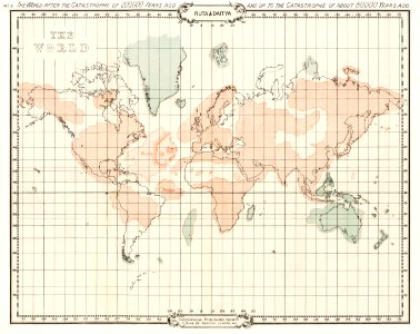
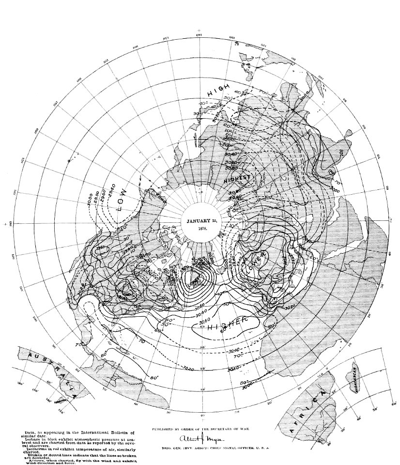
old weather and climate maps
1880 maps
symbol
maps
illustration
maps
ocean
maps
travel
maps
images from the new york public library
old weather and climate maps
images from the new york public library
old weather and climate maps
old maps of the world
1880 maps
historical images of arecaceae
old maps of north america
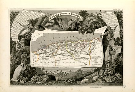
old maps of algeria
french algeria
maps
sea
victor levasseur - maps of the world
old maps of senegal
world
maps
earth
maps
earth
maps
earth
maps
1 - 100 of 352
Next page
/ 4


![A new map of the world [cartographic material]: from the latest observations (1720) by John Senex.](https://cdn.creazilla.com/illustrations/1940323/a-new-map-of-the-world-cartographic-material-from-the-latest-observations-1720-b-sm.jpeg)

![Bankoku Jinbutsu no Dzu [Picture of the World and its People] (1825) by Imakajiyamachi Eijudo.](https://cdn.creazilla.com/illustrations/1953419/bankoku-jinbutsu-no-dzu-picture-of-the-world-and-its-people-1825-by-imakajiyamac-md.jpeg)
![Map of France, Spain, and Portugal; Switzerland in cantons [inset]; Island of Corsica (1863) by Samuel Augustus Mitchell.](https://cdn.creazilla.com/illustrations/1953186/map-of-france-spain-and-portugal-switzerland-in-cantons-inset-island-of-corsica--md.jpeg)